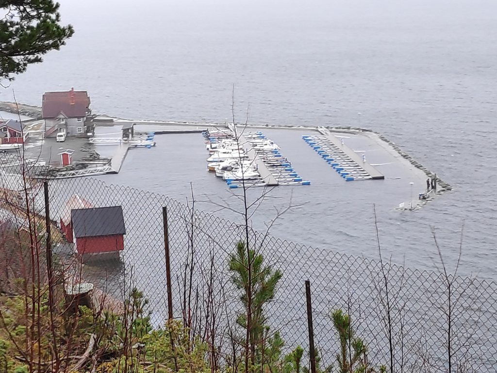
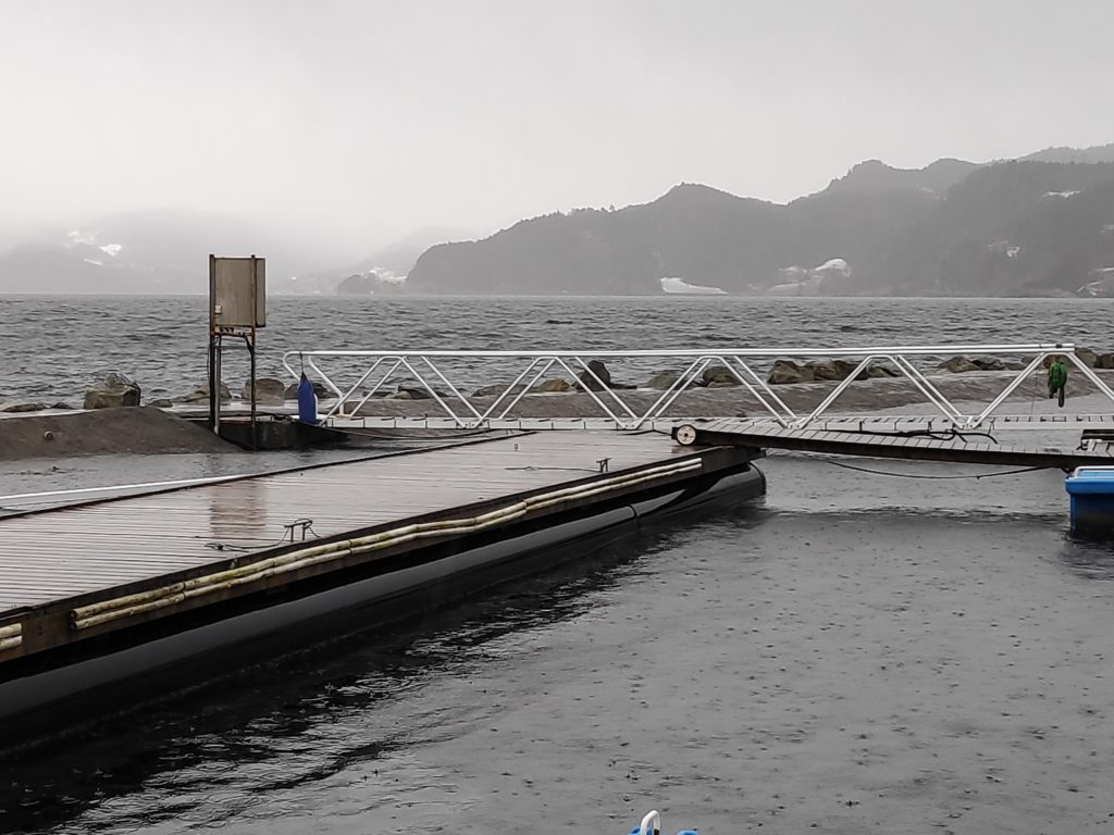
Signs of Spring

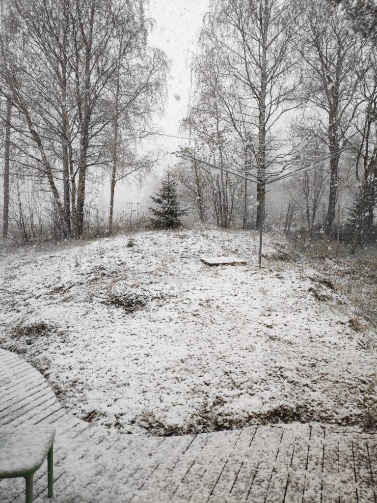
With a large dump of snow in April, I have been thinking about what are the signs that spring has actually arrived. First of all, I think that the disappearance of the snow is an important sign.

Let’s look at what the definition of spring is for Norway. This excerpt is taken from the Store Norske Leksicon: Vår er er årstiden mellom vinter og sommer, og den perioden av året hvor normal døgnmiddeltemperatur er mellom 0ºC og 10ºC (disse inkludert). Temperaturen stiger gjerne i denne perioden and quoted on www.met.no. Translation: Spring is the season between winter and summer and that part of the year when the normal average day temperature is between 0 degrees C and 10 degrees C, including these temperatures. The temperature is usually rising during this period. Calculation of the average day temperature will differ depending on the number of readings taken during the day. The simplest calculation is the highest temperature is added to the lowest temperature and then divided by two (for example, 10 + 0 = 10, 10/2 = 5)

Another common definition of spring is the time between the spring equinox in March and the summer solstice in June, but this is a bit too general for my way of thinking. I prefer the previous definition which is tied to temperature.

If I look at some weather statistics for areas near here, but measured near sea level, there are very few days in March when the average day temperature is below zero degrees Celsius. By the end of April there should be none. This does not mean that there will not be freezing temperatures at night, but that the temperature rises sufficiently during the day that the average temperature is well above zero.

Spring is often thought of as that time of the year when the first flowers come out.
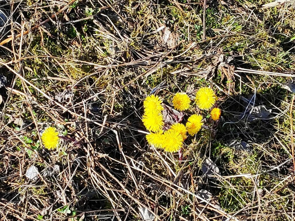
Colt’s foot (Tussilago farfara) is one of the first wild flowers to come out in Norway. It grows along the edges of roads, especially where the snow melts quickly and the sun warms up the earth. Its leaves come out after the flowers are finished.
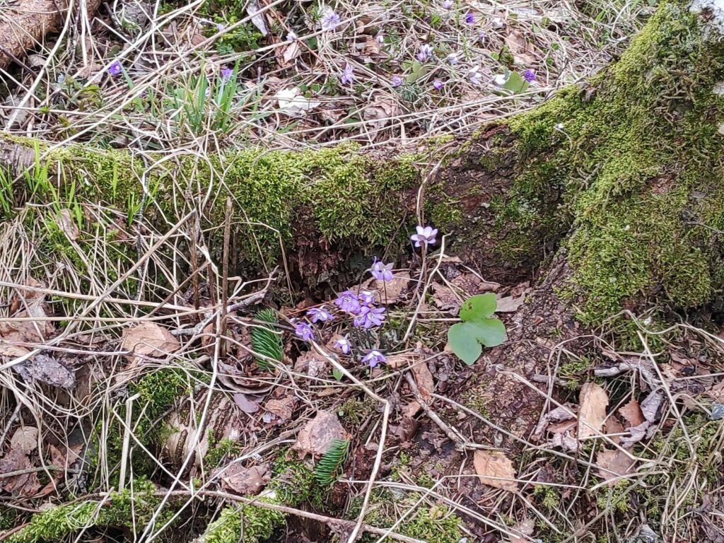
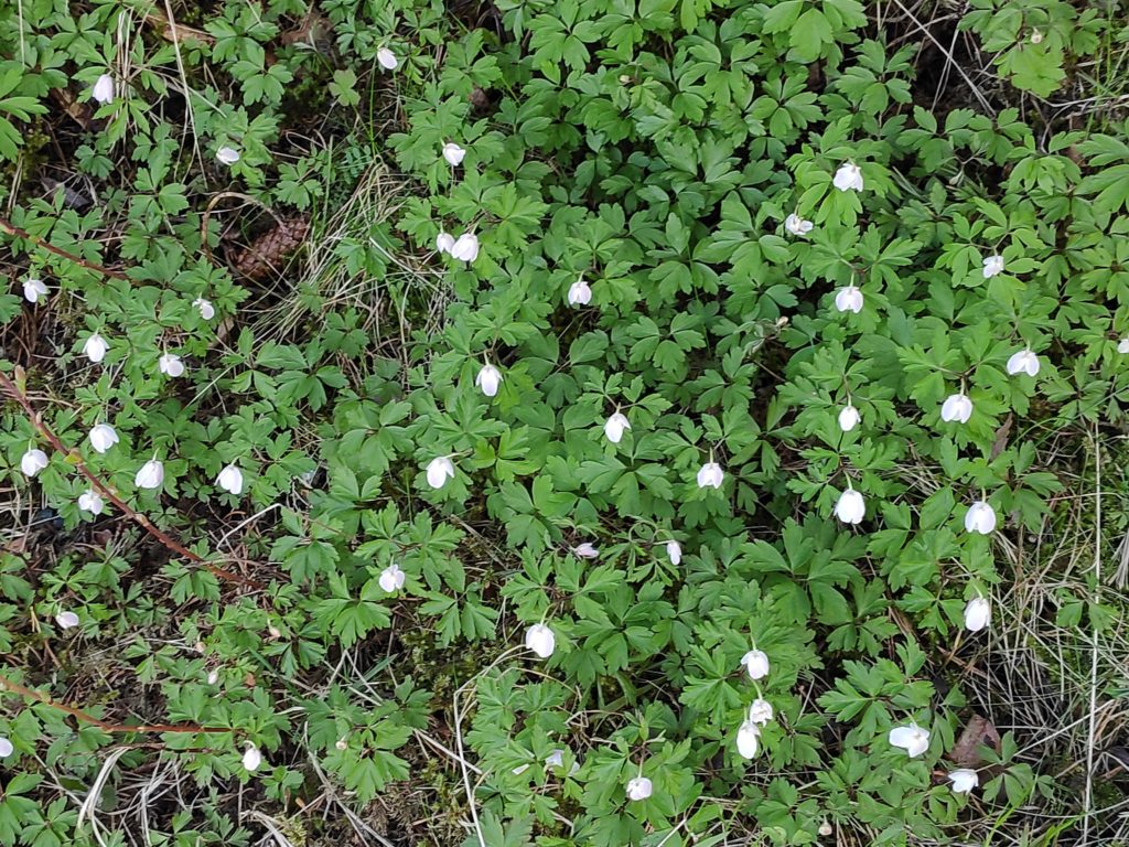
Another early bloom is the anemone Hepatica nobilis, a member of the buttercup family. The leaves are green all year round.
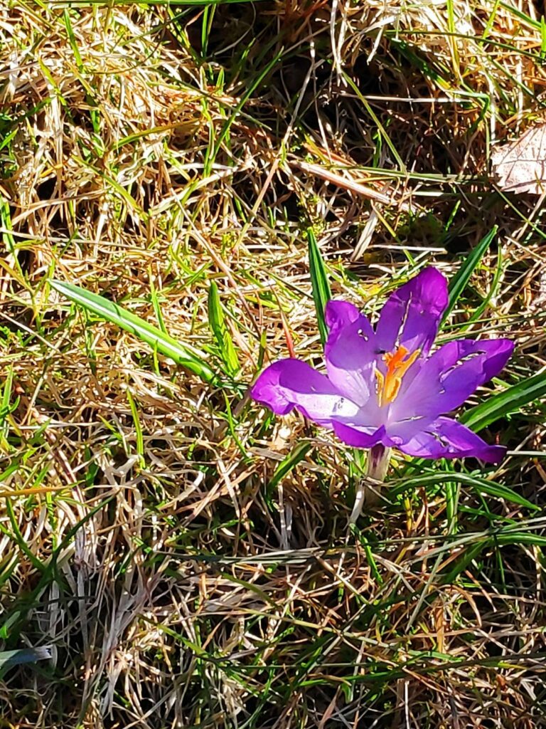
Crocuses are planted and this one is almost finished. Many of the early garden flowers come from bulbs.
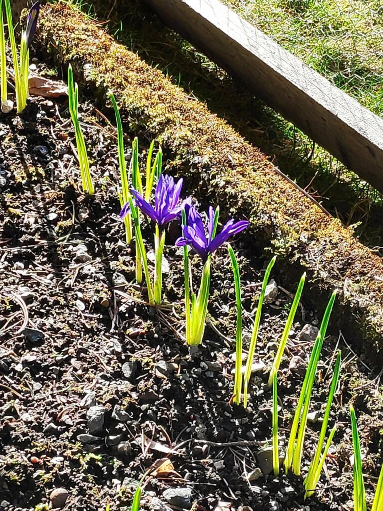
These small irises come out early.

I live in an agricultural area so another sign of spring is the outdoor work of the farmers. They also give us some less pleasant smells as they spread their animal manure on the fields.
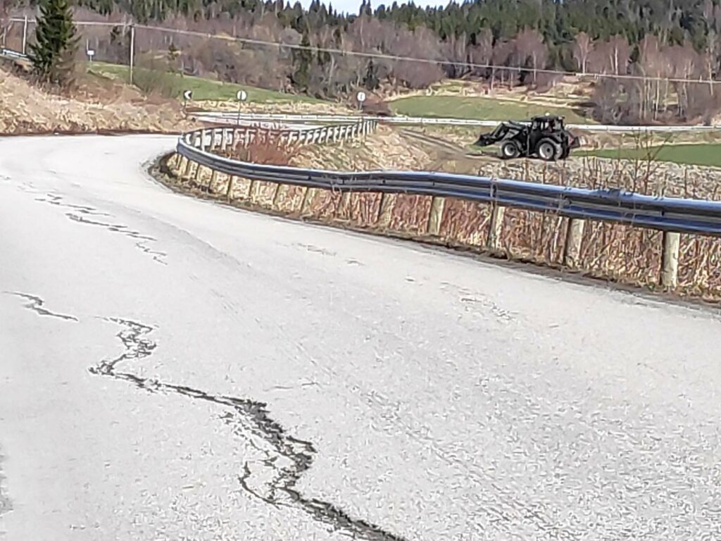
Tractors in the fields and on the roads become more common. Note that some of the fields are becoming very green as the grass starts growing again in the warmth and sunshine.
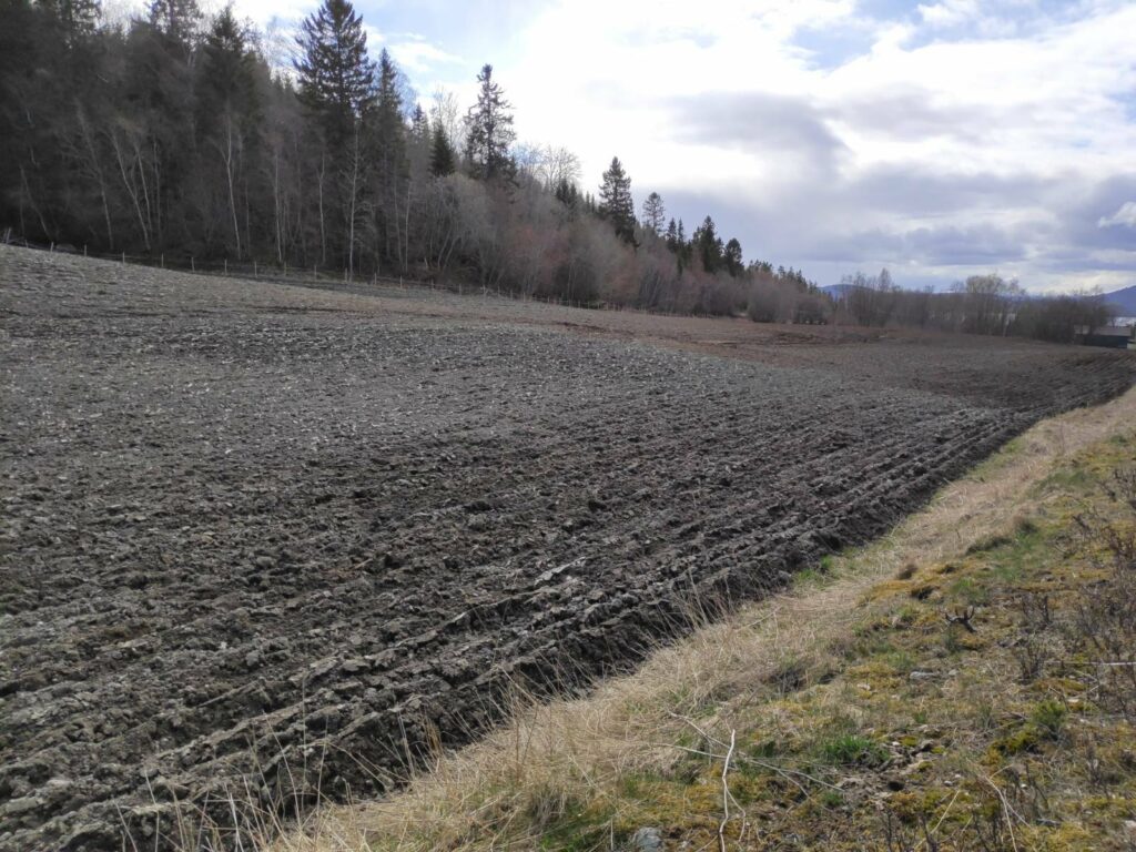
This field has been ploughed. Many of the fields near us are used to grow grass for animal feed, or for letting the animals graze in the summer months. They will not be reseeded every year, but dandelions can be a persistent weed so fields will be ploughed up and reseeded on a regular basis.
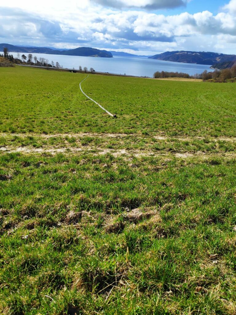
On today’s walk up to get eggs at a neighboring farm, I saw this hose just laying on the field. It is used to spread manure on the fields.
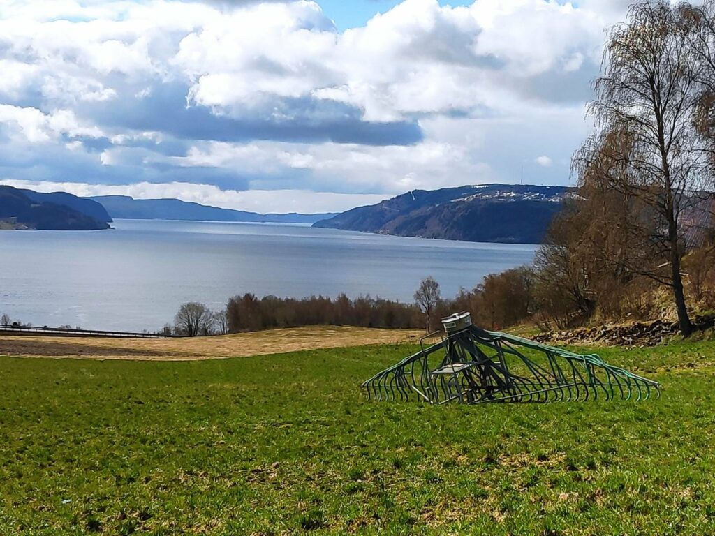
Here is the attachment that the tractor pulls across the fields making sure that the manure goes primarily into the ground. When we first moved here, the manure was sprayed into the air to spread it. What a stink! With this newer method, there is much less smell, but there is still some.
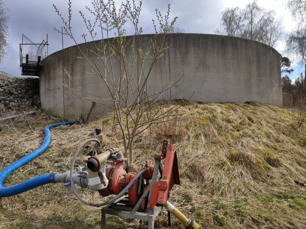
There is the large container for the manure and the pump to get it into the long hoses that are dragged across the fields.

More pleasant signs of spring include the return of birds. We have several species of seagulls that live near us. Some of them are here all winter long, but the noisiest one, Larus canus, loves to follow the tractors around as they plough the fields. They like to soar on the wind and often fly in large groups. Unfortunately, I don’t have any pictures to include about this species.
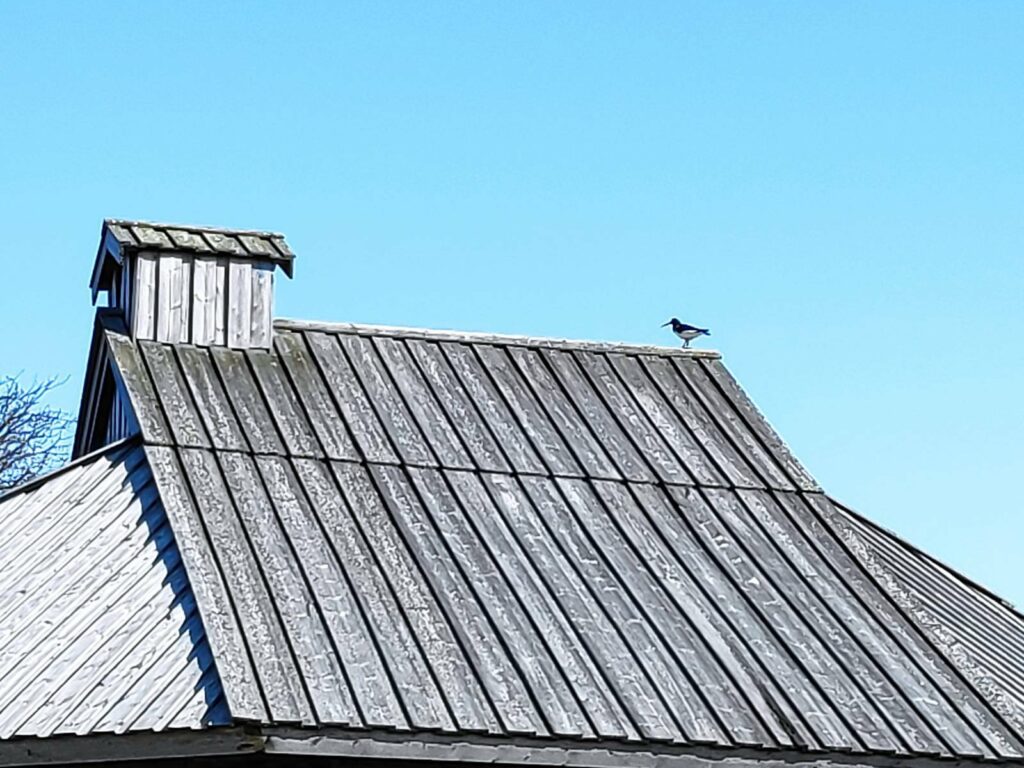
Another common sign of spring is the oyster catcher who likes to feed in the shallows at low tide.
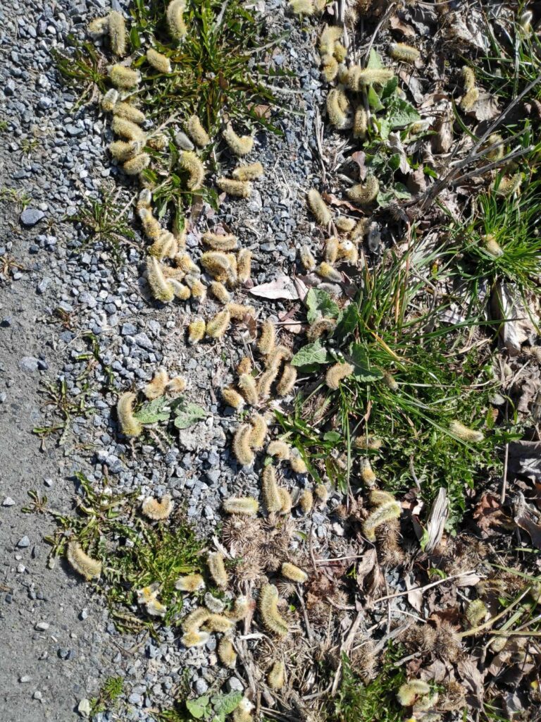
Pussy willows on the ground are a good indication that the willow tree has started its spring routine.
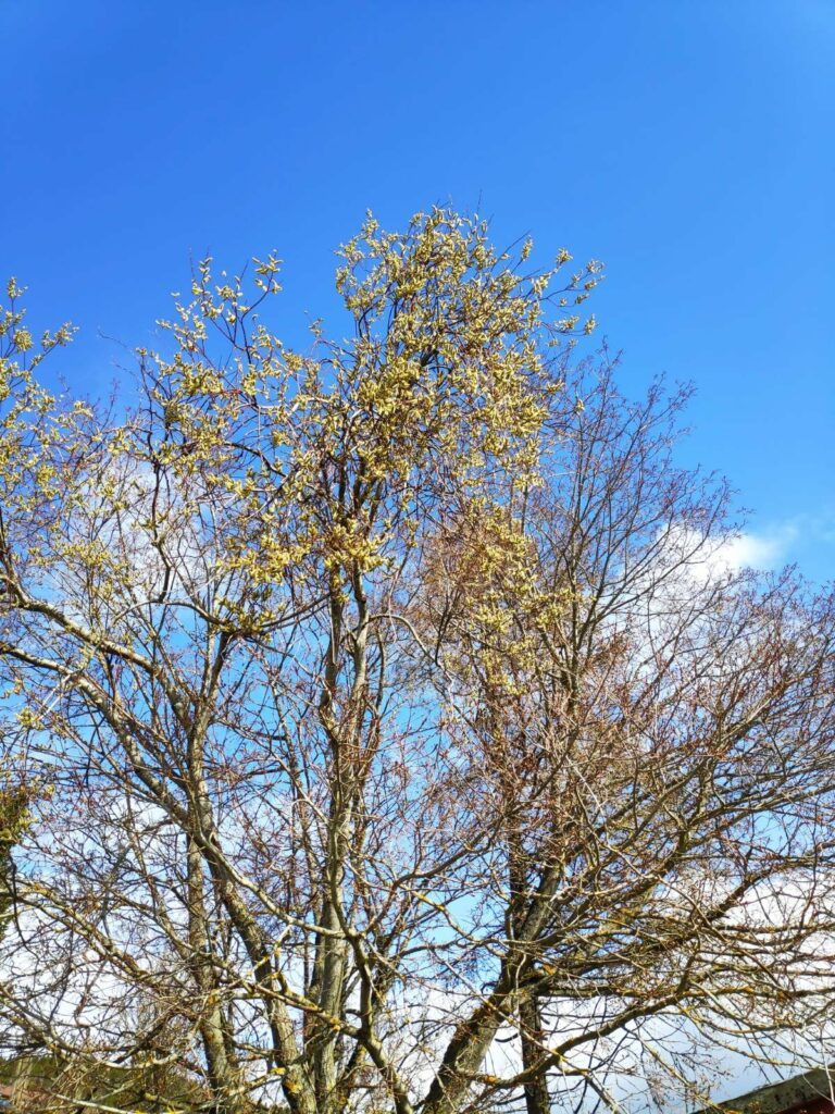
Here is the willow tree itself. It hasn’t lost all of its flowers yet. It is a sign that there will be pollen in the air for the next couple of months. The leaves will come out after the blossoms are finished.

I would like to finish off this blog with a few pictures of plants in my garden. I enjoy going out to see what has started blooming and what has started sprouting .
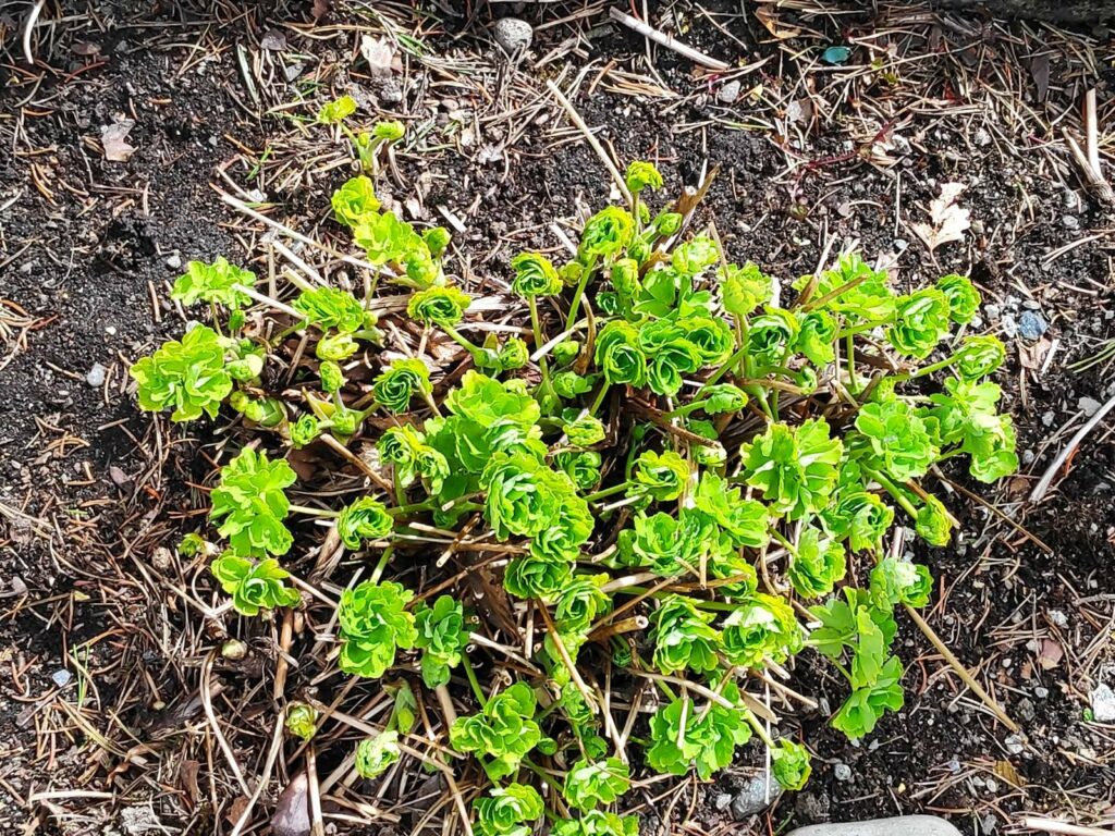
This columbine is just starting to put out its leaves. The flowers will come out much later.
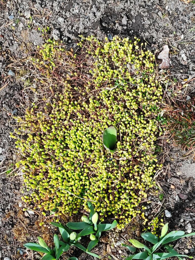
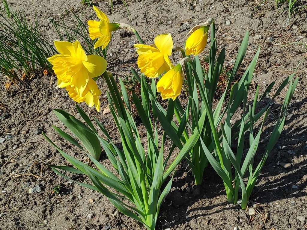
Sedum acre is already blooming and the daffodils won’t be long now. They just need a day or two of sunshine. The one tulip that has come up may not bloom. They are often eaten by the deer that like my garden.
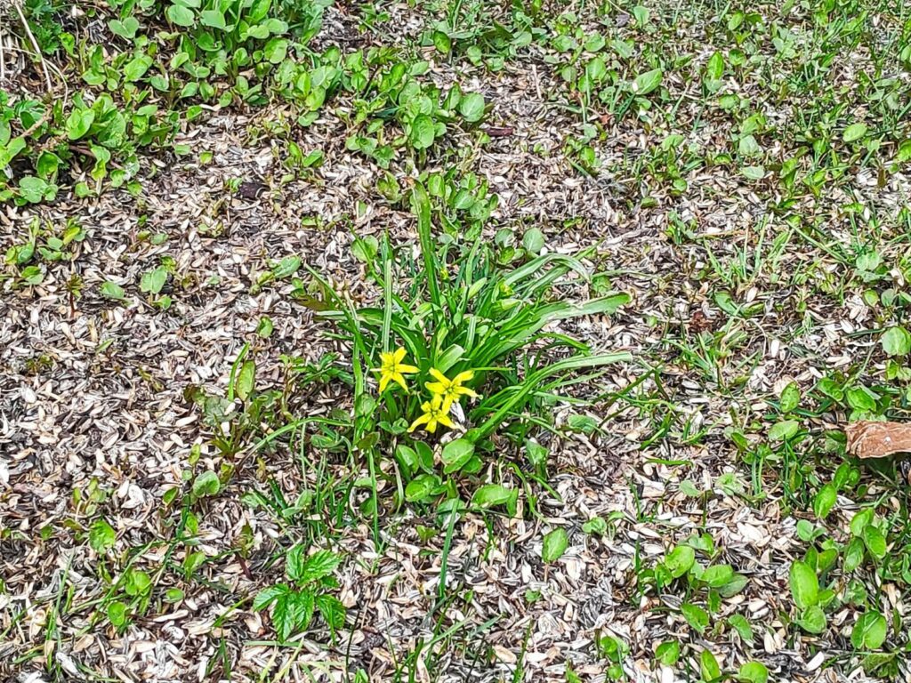
I’m not sure what this one is called, but it is an early bloomer too. It comes up under the rose bush where I put out bird feeders in the winter time. I put out mostly sunflower seeds and you can see the empty seed shells fertilizing the ground.

You may have other signs of spring in your area, but these were the things that I thought of while going on my walk today.
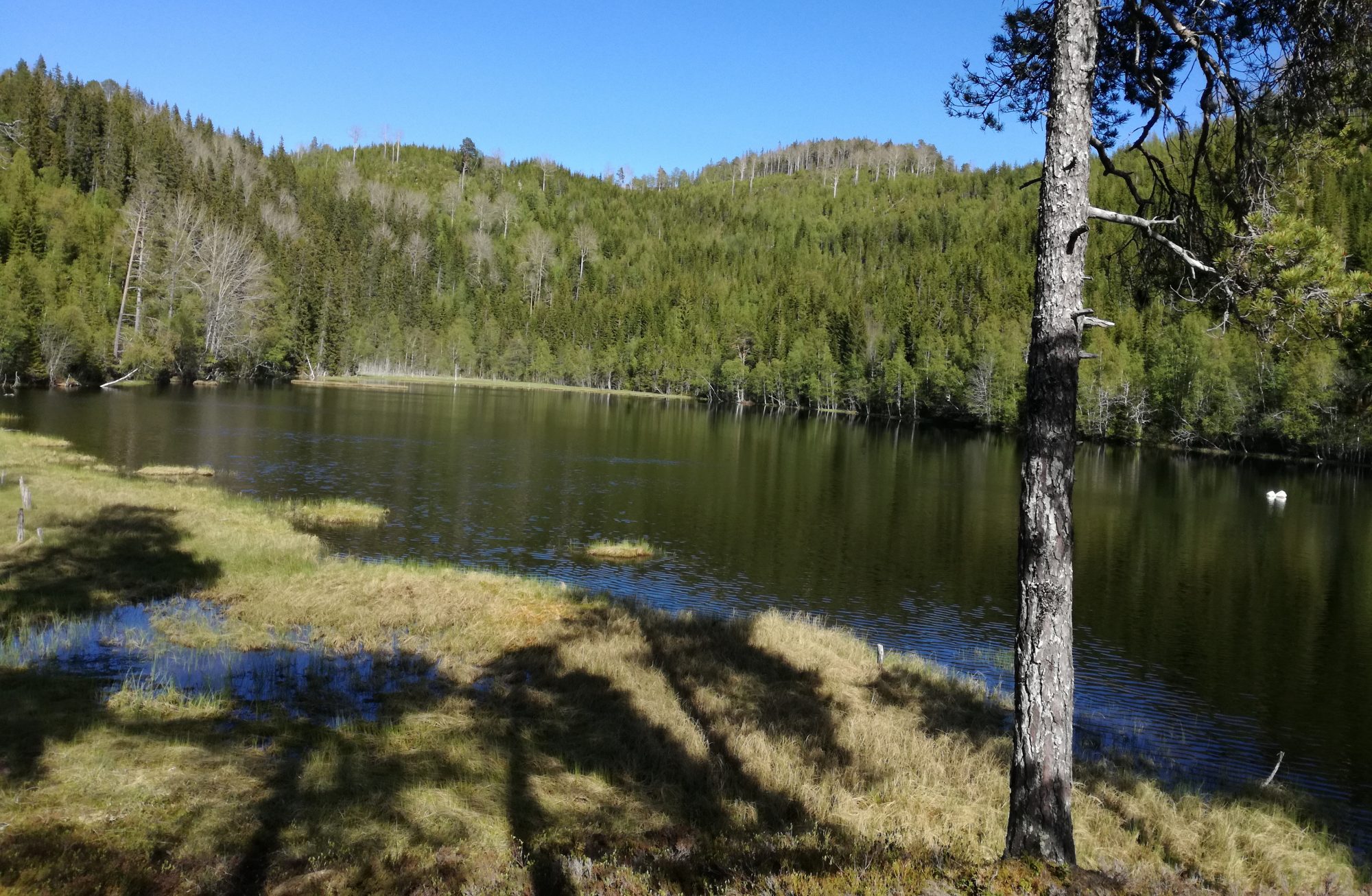
Winter Solstice 2020 in Inderøy

The winter solstice in the Northern Hemisphere is the summer solstice in the Southern Hemisphere. One should more accurately call this the December Solstice as there is also a solstice in June, which in the Northern Hemisphere indicates the longest day of the year, i.e. the day with the most daylight hours. The December solstice is a particular time on a particular day, when the sun is exactly over the Tropic of Capricorn. In 2020 this happens on the 21st of December at 10:02 UTC, or at 11:02 local time where I live.

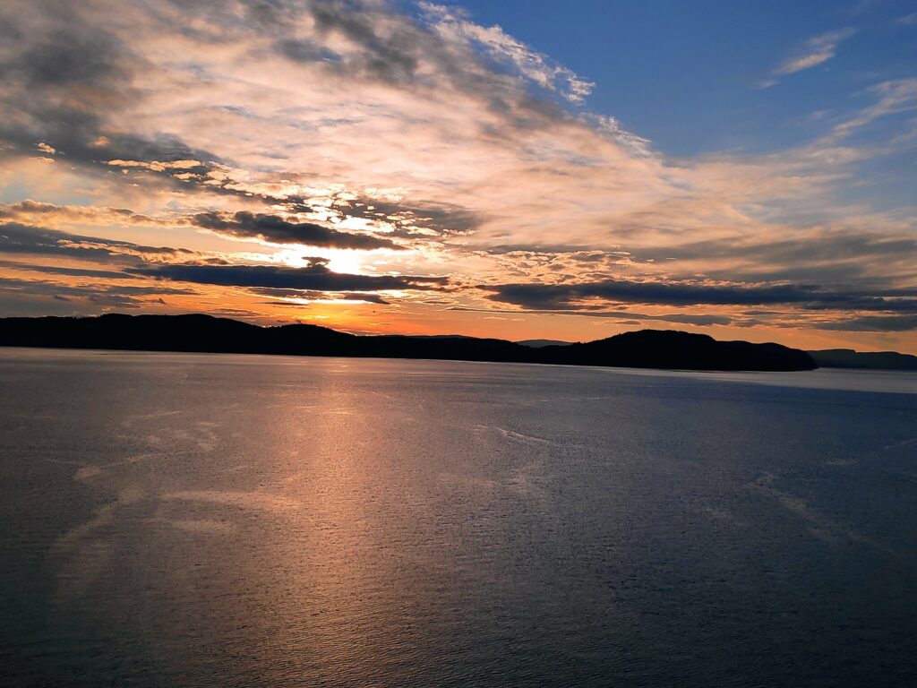
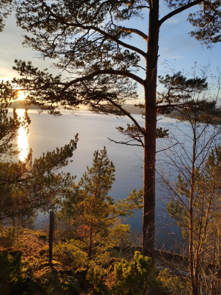
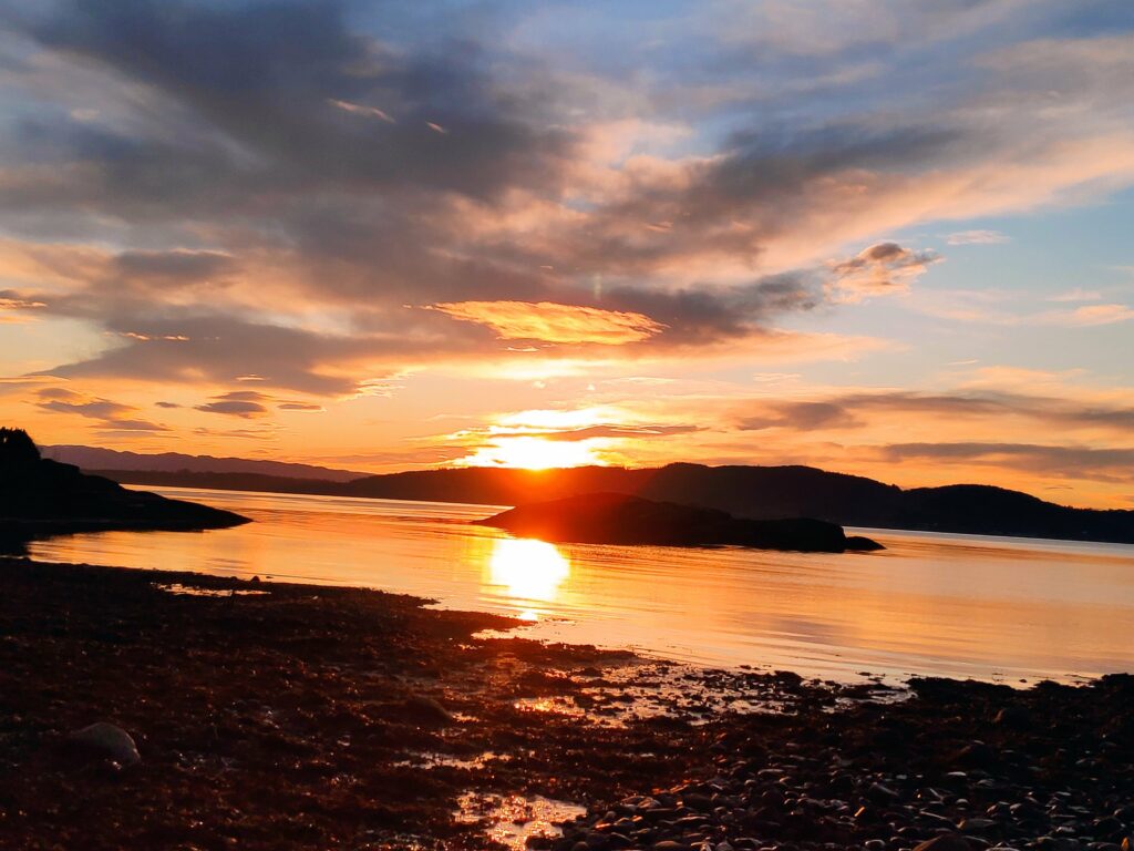
The sun was just clearing the hills in the distance at 11:02 local time. The picture was taken from sea level, at the high water mark on the beach. Note how orangey the colour are just after sunrise when the sun is still very, very low in the sky.

For those of us living in the Northern Hemisphere, this is the shortest day of the year, i.e. the day with the least amount of daylight.

Because of latitude and the way we keep time, the latest sunrise and the earliest sunset will not occur on exactly the solstice. The earliest sunset will occur before the winter solstice and the latest sunrise will occur after the winter solstice. (See explanation here)

How much of a coincidence is it that Christians celebrate the birth of Christ (Christmas) a few days after the winter solstice in the Northern Hemisphere? Here in Norway, Christmas becomes a festival of lights as the number of daylight hours is at a minimum and people like light.

So let’s look at some of the numbers for my location in Vangshylla, Inderøy, Norway

DateSunriseSunsetHours of daylightSolar Noon
Dec 1810:0314:214 hours, 18 minutes, 37 seconds12:12
Dec 1910:0314:214:17:5612:12
Dec 2010:0414:224:17:3112:13
Dec 2110:0514:224:17:2412:13
Dec 2210:0514:234:17.3312:14
Dec 2310:0514:234:17:5912:14
Dec 2410:0614:244:18:4312:15
Notice that I have given the sunrise and sunset to the nearest minute, but one actually needs to include the seconds to show the exact number of minutes of daylight and to see the changes from day to day. There isn’t much difference between Dec 19 and Dec 21, only 32 seconds .

The latest sunrise is on December 24th and 25th at 10:06. The earliest sunset in on December 16th, 17th, 18th and 19th and 14:21. There are very small changes each day around the solstice. However, with exact astronomical calculations, the day with the shortest number of daylight hours is December 21st with 4 hours, 17 minutes and 24 seconds.

I have also included in the table when the solar noon is, that is, when the sun is at its highest position in the sky. This varies slightly from day to day, because the day is not really 24 hours long. Around the December solstice, solar noons are a little bit farther apart each day.

This photo was taken at 12:13, showing its highest position in the sky on the December solstice. Note how there is less orange in the photo and more blue, partly because the sun is higher in the sky, but also it is partly covered by cloud.

My source for information is: https://www.timeanddate.com/calendar/ten-things-december-solstice.html. By going to Sun & Moon, you can write in your location and get the relevant times.

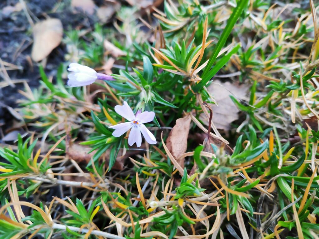
Today I found another spring flower blooming, spring phlox. In my garden, this plant is often eaten by deer in the winter, so it often blooms later than it should. This year it is still growing well, even in December and has put out two flower buds. Is it hoping to bloom before the deer come to eat?

Inderøy Walk – Winter Sunshine

Today’s walk took about 2 hours and one of my goals was to get some sunshine. In December, sunshine is a precious commodity and though our house gets some in the afternoon, the days are short. By heading outside, I was hoping to get fresh air, exercise and some sunshine on my face. All goals were achieved and as I walked, I thought about how important light is in December.

The first photo was taken at 11:40 and the last one at 13:17. Today, the 6th of December, sunrise was at 9:42 and sunset at 14:30.

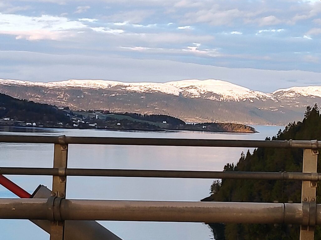
This picture was taken at 11:43 from Skarnsund Bridge. At this point the clouds are obscuring the sun so that I’m not actually in the sunshine. Note how low the sun is in the sky and though it was moving from east to west, it didn’t get any higher in the sky. Sunshine in December gives very yellow and orange tones to what it shines on, whether it is cloud or nature.
The mountains to the north of us are now covered in snow and the sun shining on them made me think about how location is so important to how much sunshine a place gets, though cloud cover also plays a role.

In Norway, it is interesting to see how the coastline has been settled. The north side of a fjord will get more sunshine than the south side and therefore will have more farms and villages. As you look at the picture above, the peninsula sticking out into the water gets a lot less sunshine than the mountain tops in the background at this time of year. Height above sea level will also affect how much sunshine a place gets, especially in winter. Getting higher up, there will be less land between the sun and where you are. As I crossed Skarnsund Bridge and climbed up a side road on the other side, it was noticeable that houses higher up got more sunshine than those lower down.

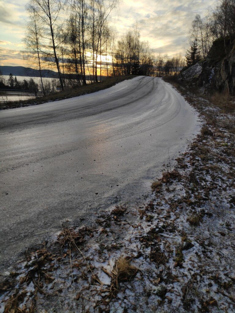
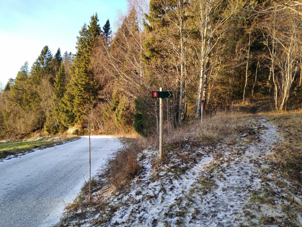
Walking today had its challenges. A few days ago, it rained on frozen ground and since then, there has been a thin layer of ice on road surfaces that are not often driven on. The side of the road can be even icier, so I had to be careful where I walked. This side road was sanded and doesn’t have much traffic, so I was able to walk in the middle of the road where it was sanded and had no problems walking, either up the hill or down again.
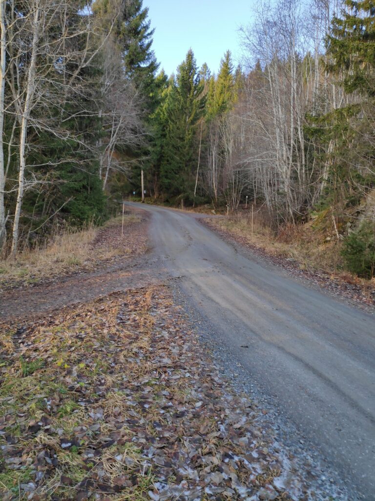
There was a lot less ice on the road as I climbed up the hill, especially where the road was mostly under the trees. With much less ice, the walking was easier.
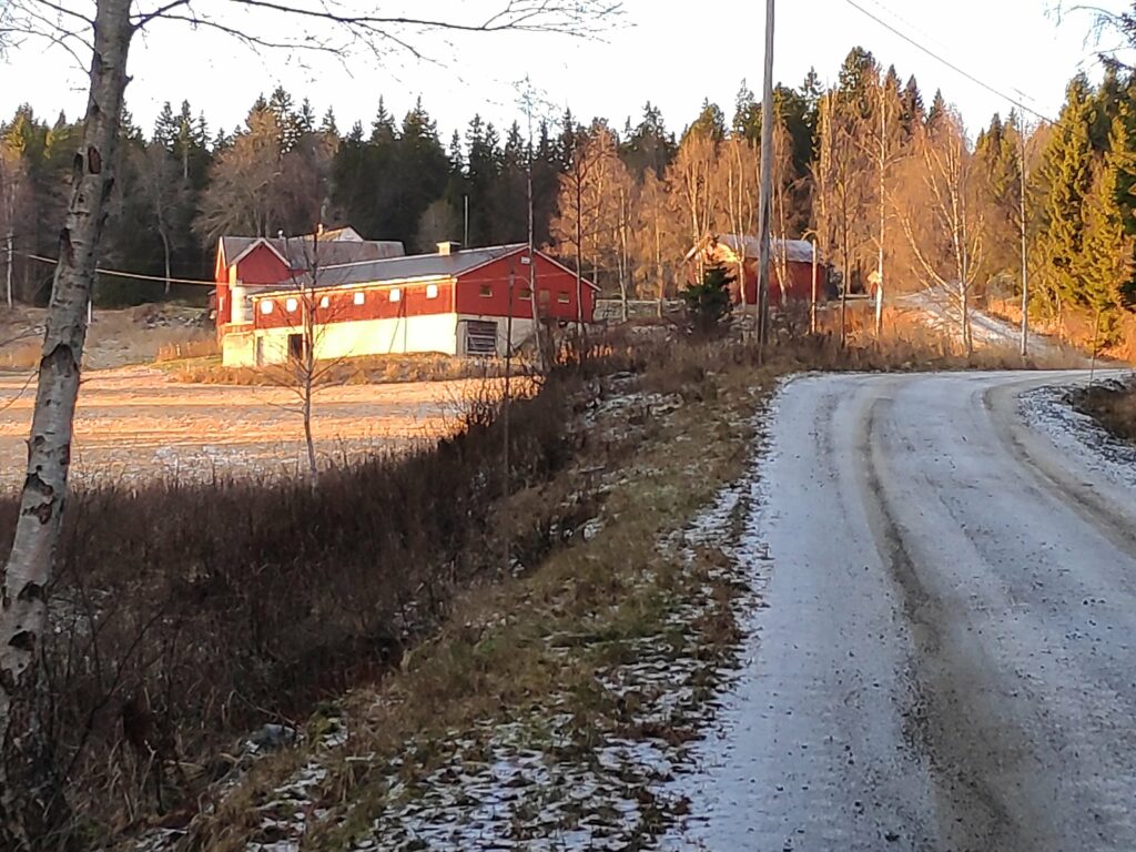
This farm is getting a dose of sunshine. An open field between the house, farm buildings and the direction of the sun, allows the buildings to get some sunshine when the sun is not obscured by clouds.
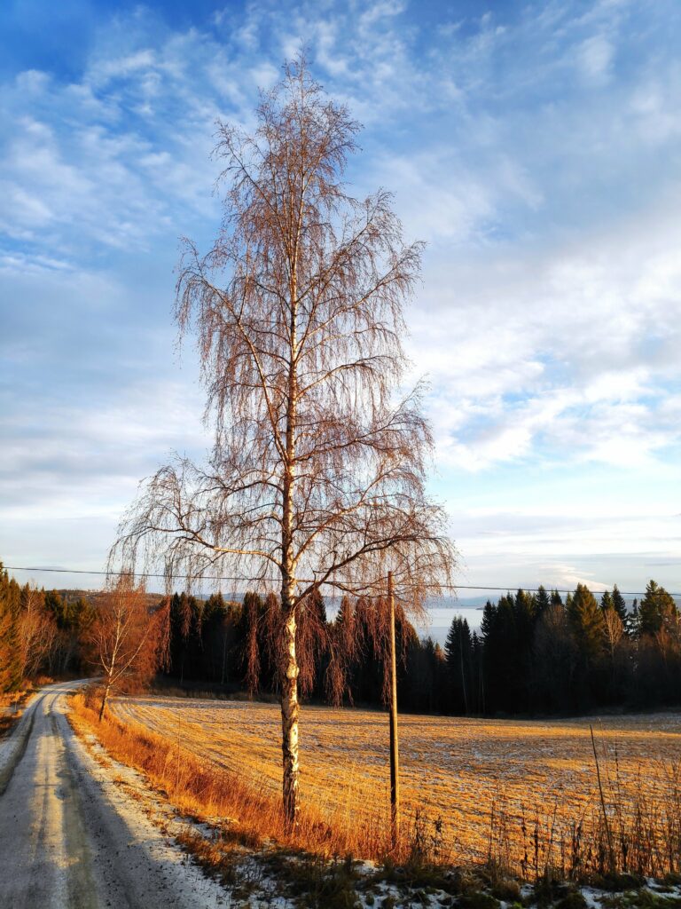
This solitary birch tree was bathed in sunshine.
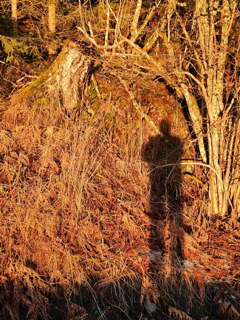
Yes, I got a dose of sunshine too, as my shadow proves.

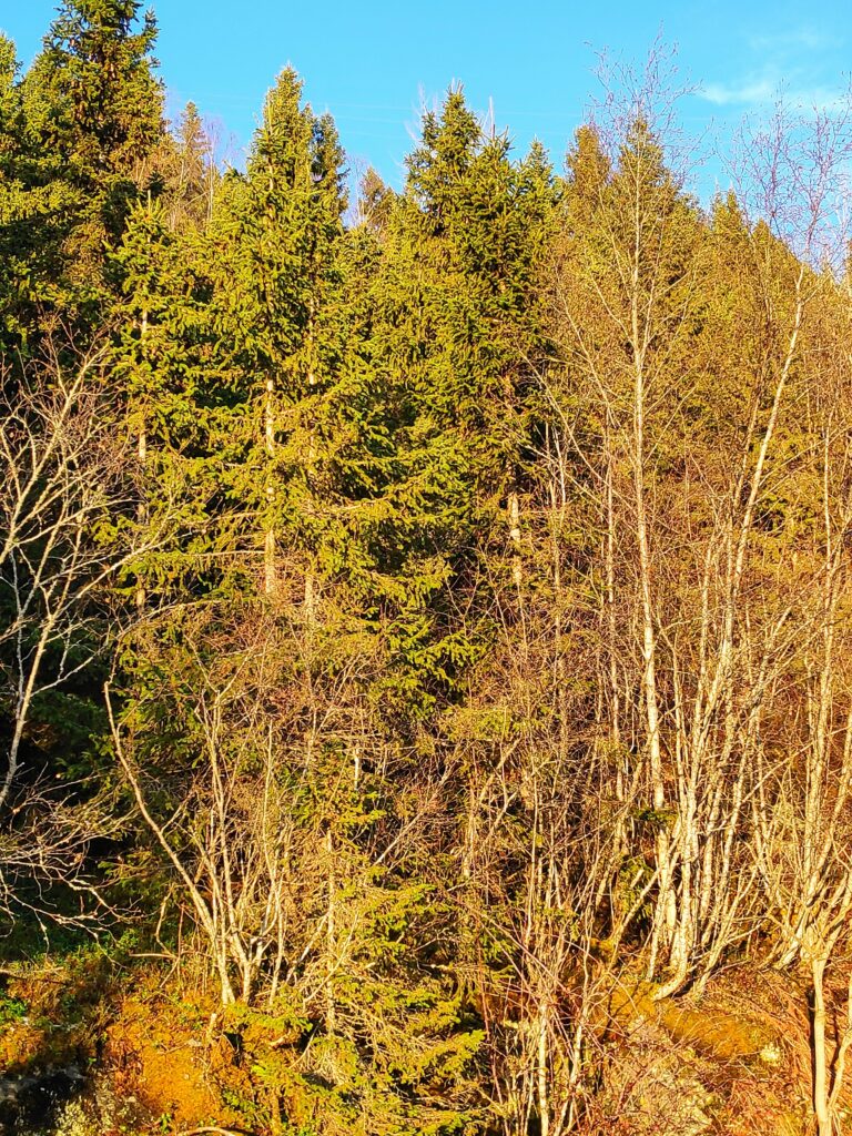
I notice how the sunshine changes the colours of the things around us. Without sunshine, December tends to be a month of grey and white, with just a few dabs of blue and green. But when the sun shines on something, the colours turn more vibrant. Coniferous trees become very green and the sky was very blue where there weren’t any clouds. The brown grass and trees without leaves turn yellow and orange.

The coniferous trees are still green, but the deciduous trees show up as very yellow now that they have lost their leaves. The forest where I am walking is a mixture of both coniferous and deciduous trees.
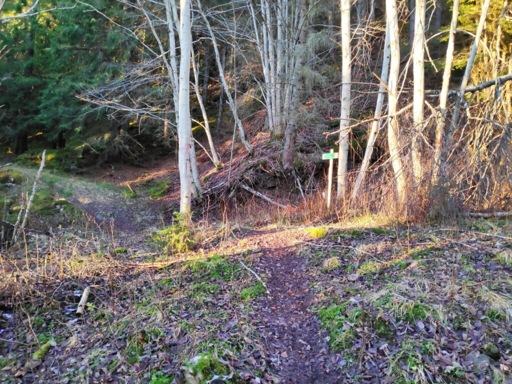
Finally, I came to the pathway I was aiming for. This path, though labelled with a red man, meaning that it was a difficult path, was much easier walking than on the roadway. Under the trees there was almost no ice or frost.
I love this sort of a walk, into the forest and along a well-trodden pathway. At this time of year, it is quite quiet. I didn’t meet anyone else. Car traffic cannot be heard. There were no birds twittering in the trees. But patches of sunshine filtered through the trees.
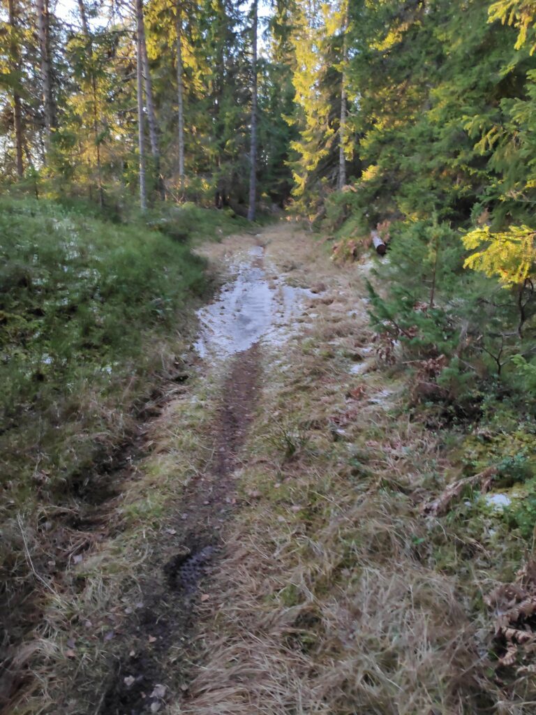
In an open patch along the trail, the puddle in the swampy part of the path has frozen. There was ice in only one small section of the pathway.
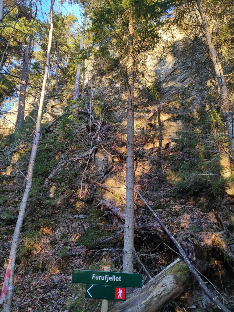
The goal of my walk has been reached, Furufjellet (Pine Mountain), which was reflecting the sunshine as I had suspected it would.
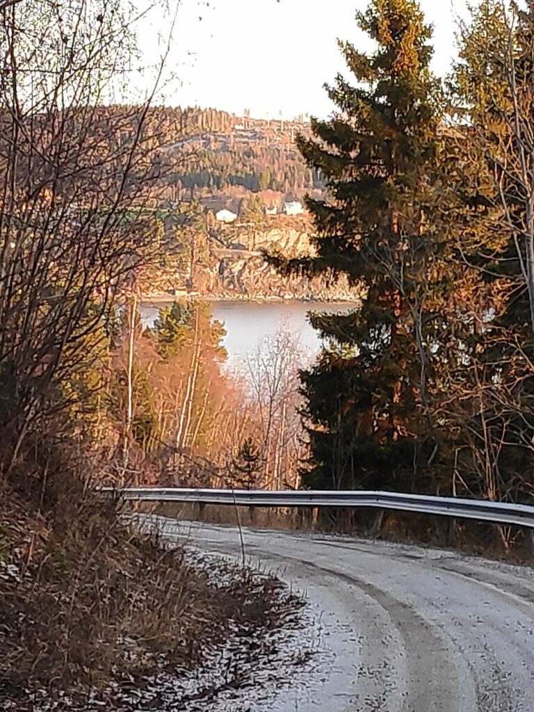
I turned around and started walking home again and now Vangshylla was bathed in sunshine.
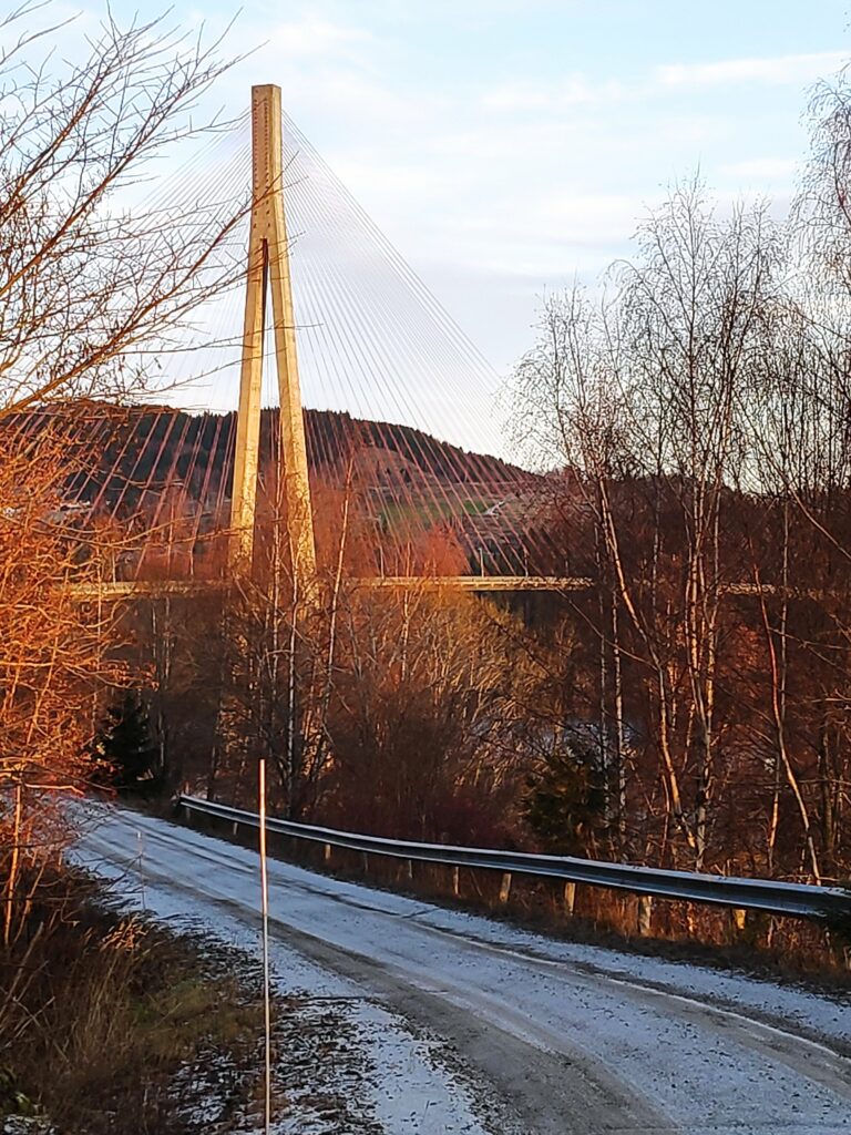
Skarnsund Bridge was also being bathed in sunlight. The concrete towers and the wires glowed in the sunshine.
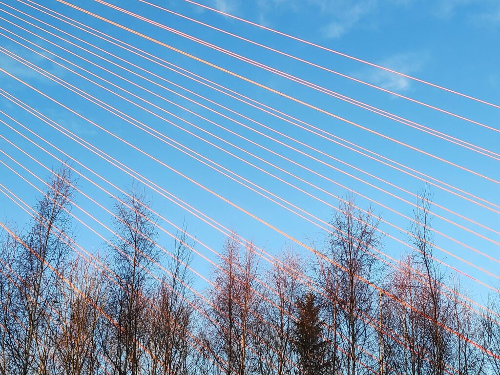
The wires of the bridge are painted red, so they showed up very well against the blue sky.
Home again, and still an hour until sunset.

Inderøy Walk – Fog and Øyna

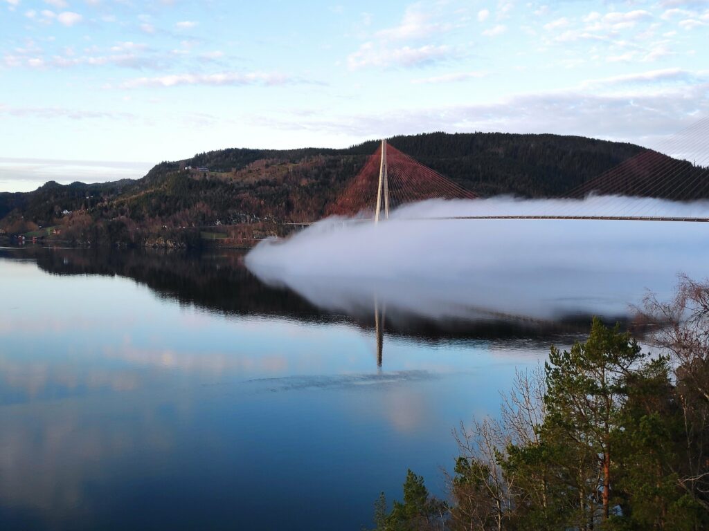
Wednesday is my usual day to go for a walk with a girlfriend. The weather forecast was for sunshine so I was looking forward to today’s walk. As I went out to the car, I noticed fog rolling across the water, coming out of Skarnsund. As I stood watching for a few minutes, the fog rapidly moved out over Trondheim Fjord.

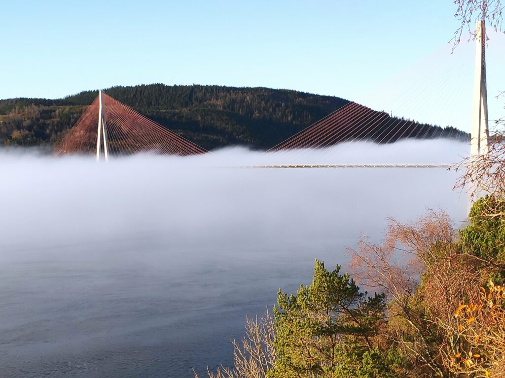
Picture taken at 9:38 looking towards Skarnsund Bridge.

I had agreed to meet my friend at her house in Straumen and I was anxious to see where there was fog and where there wasn’t fog. As I had hoped, the fog was mostly on the water and if we walked uphill, we would be in the sunshine.

We choose to walk up to Øyna, a hotel and restaurant located near the top of a hill in Straumen. (See their website for more information about them. You can also get information about them in English here.)

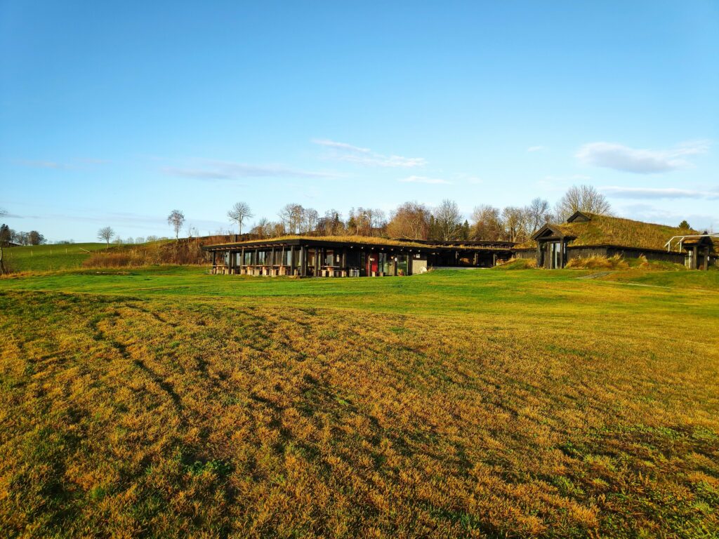
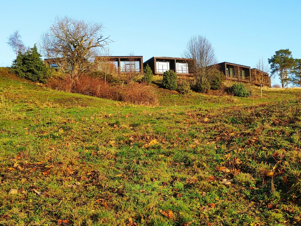
Øyna, a commercial enterprise having hotel accommodation and a restaurant serving locally produced food. It lies at the top of a hill and lies low in the terrain.
The newest hotel units also lie low in the landscape but each room has a beautiful view over Straumen, Trondheim Fjord and the surrounding area.

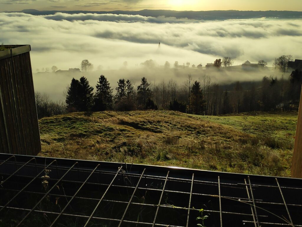
Even on a foggy day, the views from here were good though, of course, not as good as on a sunny day. In the picture below you can just see the top of the spire of Sakshaug Church, sticking up from the fog. This picture is taken looking between two of the new units of the hotel, so this is the sort of view there would be from the hotel rooms themselves.

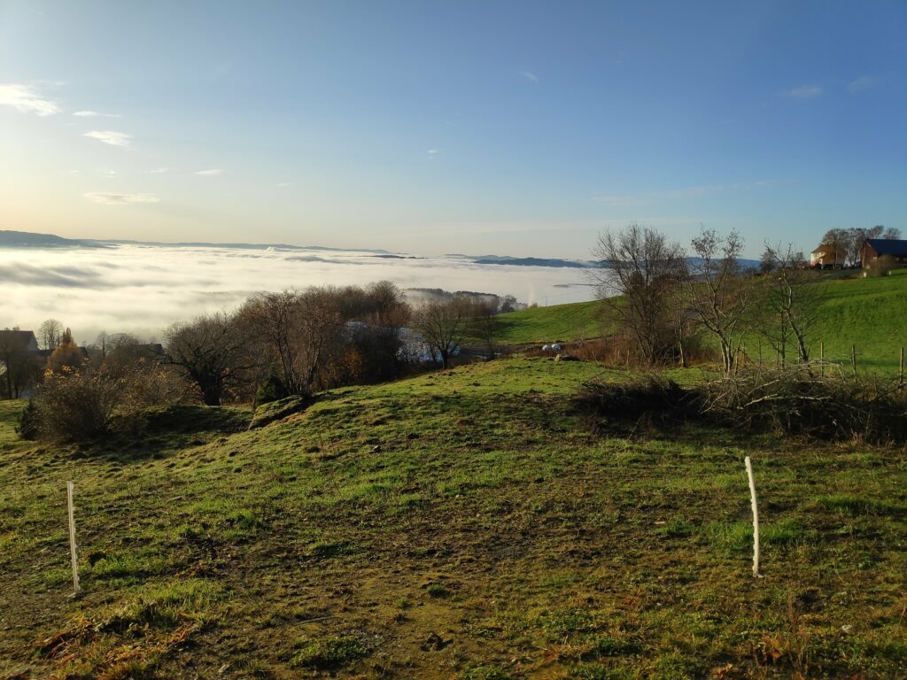
Looking down the hill from Øyna towards Straumen, most of which is hidden in the fog. In the background are the hills of Levanger.
Looking westwards towards Trondheim. We are now high enough above the fog to get an interesting picture of how the fog covers the fjord. Where you see white, it should be mostly fjord underneath the fog.
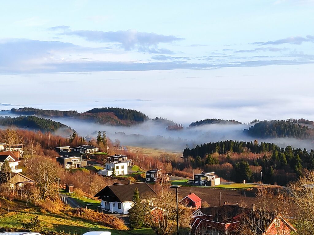
I always find it interesting how patchy fog can be, especially when looking at it from above. Here I am looking eastwards towards two of the housing areas of Straumen. Not everybody has sunshine.
Back home and this picture was taken at 12:00. There is more fog on Skarnsund, but it is still lying low over the water.
The fog is wispy over the water, but not rising particularly high above the water, so I am still in the sunshine.
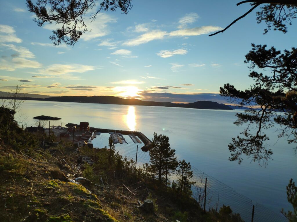
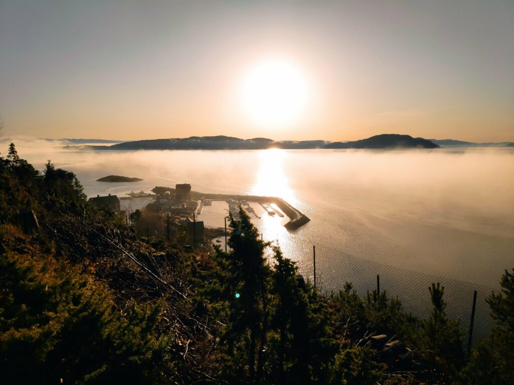
Looking towards Ytterøy with the small boat harbour at Vangshylla in the center. The sun is low in the sky, even at noon.

I had a most enjoyable walk, including a good climb up the hill in Straumen, an exploration of an area I hadn’t seen for several years, and lots of sunshine. We used about 75 minutes on our walk today.
Depressing weather

There’s not much we can do about the weather, except adapt to it. But certain types of weather are more depressing than others. I’m glad I don’t live in an area with a lot of drought or a place that has large forest fires. However, rain day after day can be hard on the spirits.

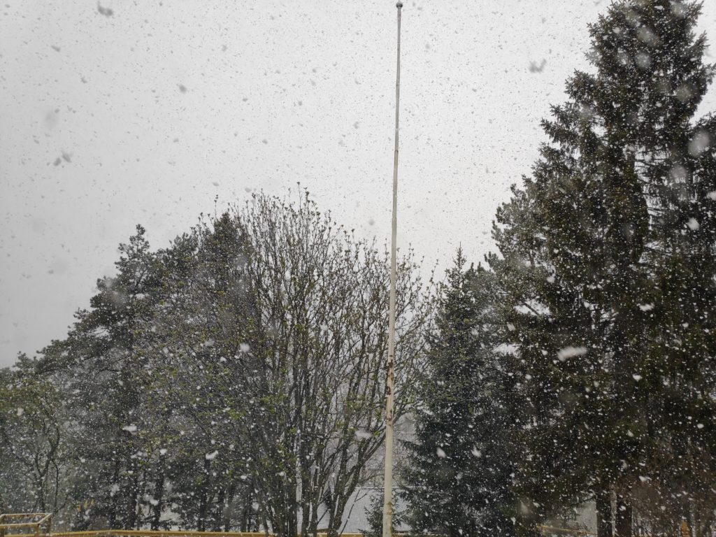
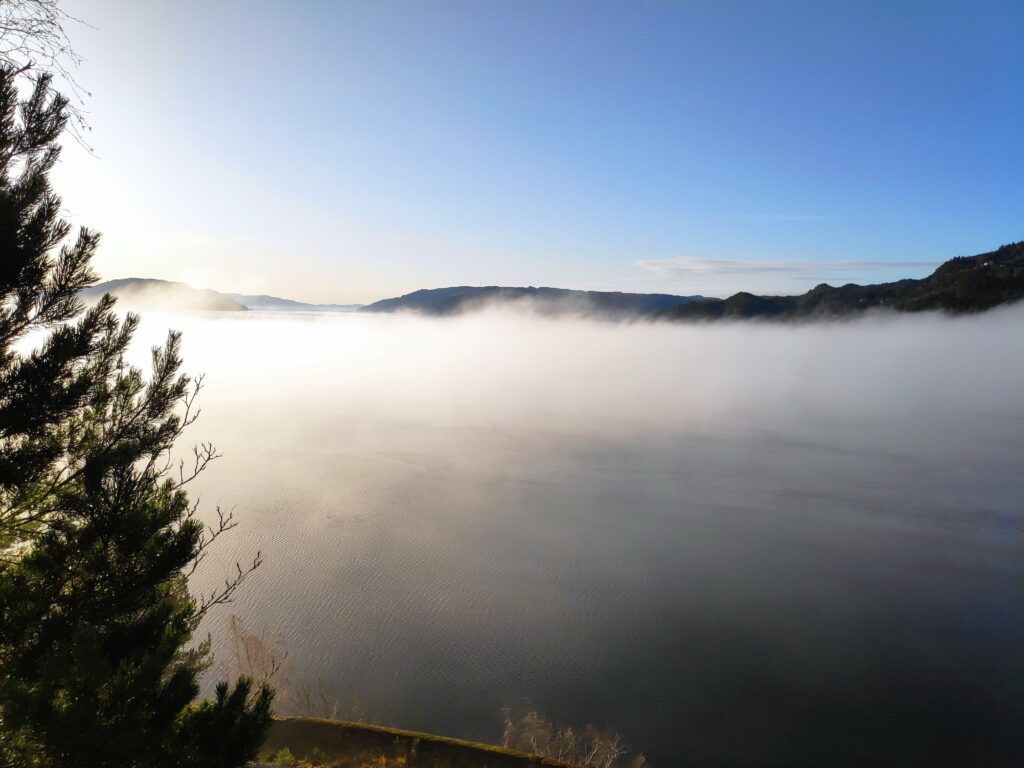
For example, here’s a picture from 8:30 am on Friday, May 15th, 2020.

Friday, 15 May 2020, at 8:30 am
The snow kept on falling, on and off all day, though by evening most of it had melted. It’s hard to see in this picture, but the rowan tree is opening out its leaves, as it should at the beginning of May.

It is quite normal for it to snow where we live in April, but it usually melts quickly and disappears. April is the time for the early flowers to bloom, such as daffodils. May is when I have always thought that my garden looks at its best, with lots of daffodils and tulips blooming.

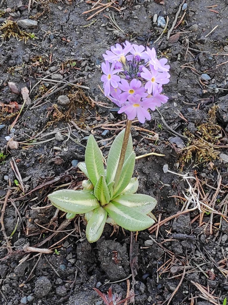
Primrose, photo taken 9 May 2020

White anemone, photo taken 9 May 2020

I went back to my pictures from May 2019 and found the following.

Daffodils, 26 April 2019
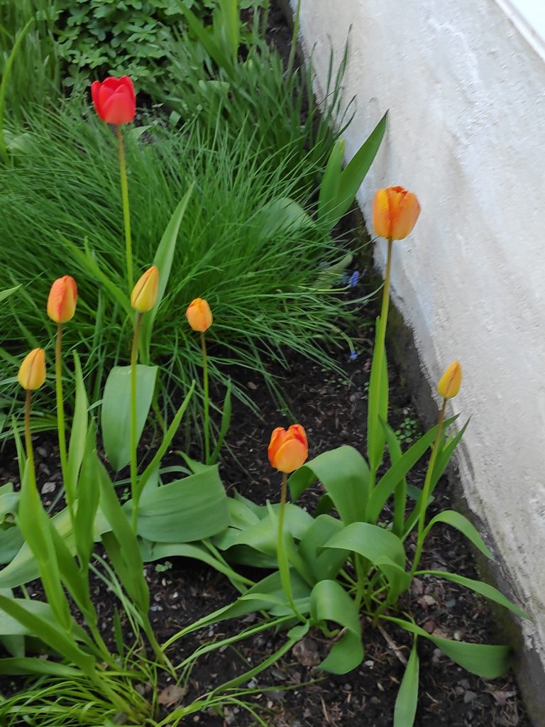
Tulips and chives, 17 May 2019
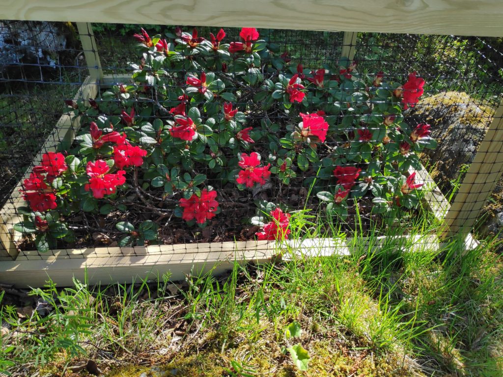
Rhododendron, 17 May 2019
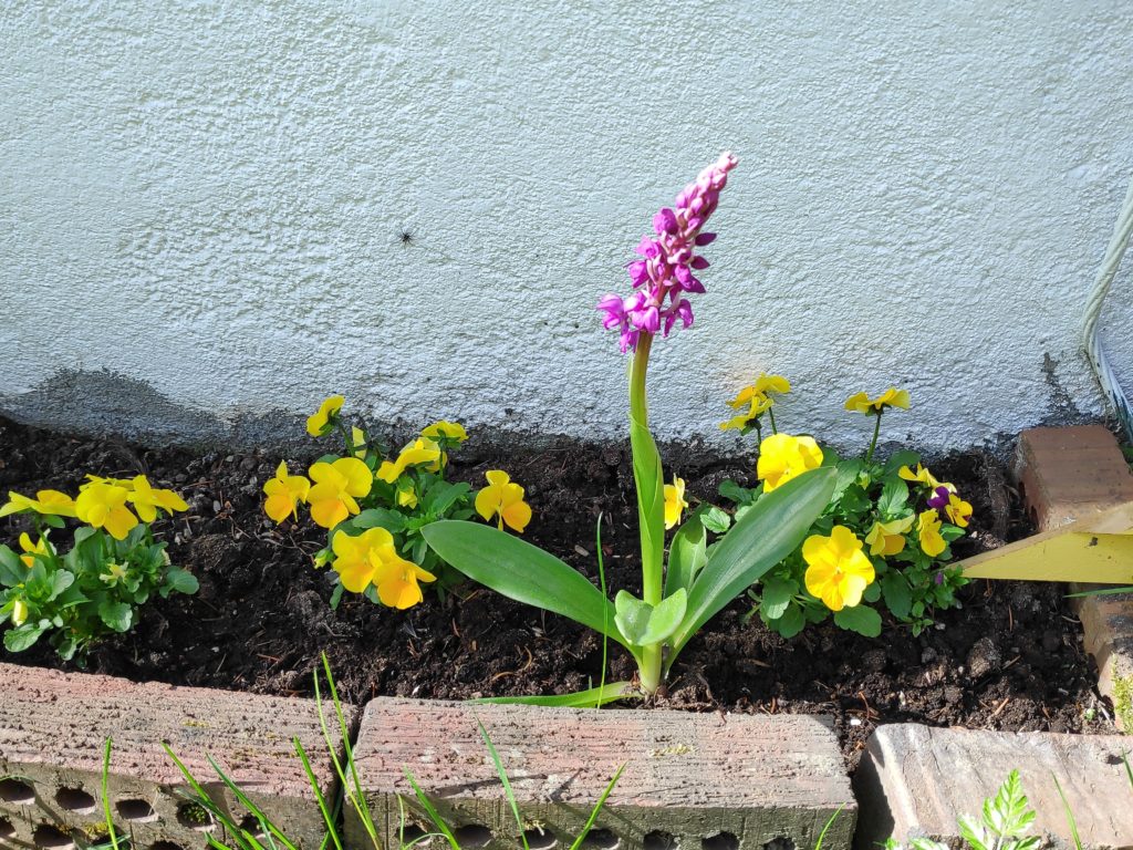
Wild orchid and pansies, 18 May 2019.

April and May are the months I usually spend a lot of time in the garden, cleaning up after the winter, enjoying slightly warmer days and sunshine, weeding methodically through all the flower beds. I got a good start in April this year, getting the weeding done in many of the beds, but suddenly during the last two weeks, it has been difficult to motivate myself to continue. Snow on the ground when I wake up, cold biting wind on the driveway, snow flurries or rain showers throughout the day, do not encourage me to go outside for several hours.

We usually get two weeks of nice, warm weather in May. I’m waiting!

Inderøy Walk – Tittinghalla

On Wednesday, the 13th of May, my friend and I decided to take the walk up to the highest hill near where I live. I live at approximately 20 meters above sea level and the hilltop is 268 meters above sea level, so for me the walk includes an increase of over 240 meters in elevation. Some of the ascents are quite steep.

It was a cool morning and there had been a dusting of snow on the ground when I got up. However, the precipitation had been coming as relatively short snow flurries the last couple of days, so we decided to do the walk anyway. Wednesday is our regular day for walking together.

As an Inderøy Walk most people would park much farther up the hill than my friend did and therefore have less hill to climb. However she decided to park on a lay-by at the corner of the road down to Vangshylla.

I have been doing this walk for 30 years and it doesn’t really get any easier over the years. One memory is the year that my husband and I were going to take a planned hike in the Rocky Mountains in British Columbia, Canada to see the Burgess Shale, an all-day hike, and we took the hike up Tittinghalla as often as we could to give ourselves the practice of climbing a mountain.

The geological definition of a mountain is a landform that rises at least 300 meters from the surrounding terrain. Tittinghalla doesn’t reach up over 300 meters above sea level, but if you include the depth of Skarnsund, which can be over 100 meters deep, Tittinghalla would classify as a mountain. There is also a definite point where one cannot go higher, though it is covered in trees and therefore not so easy to get a good view of the surrounding landscape.

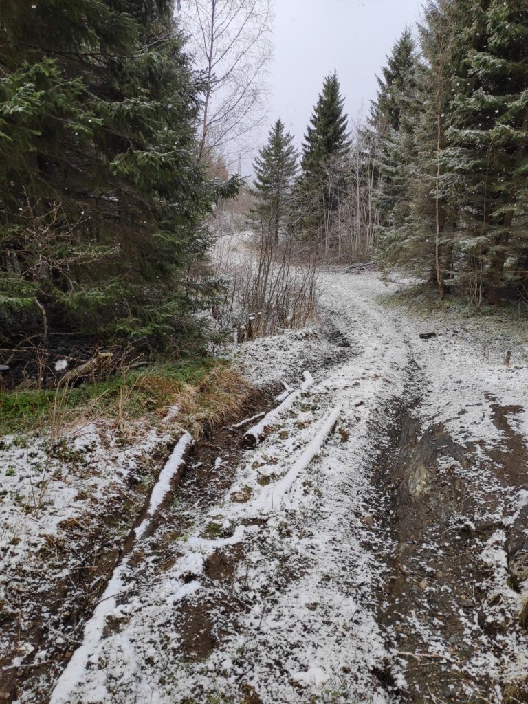
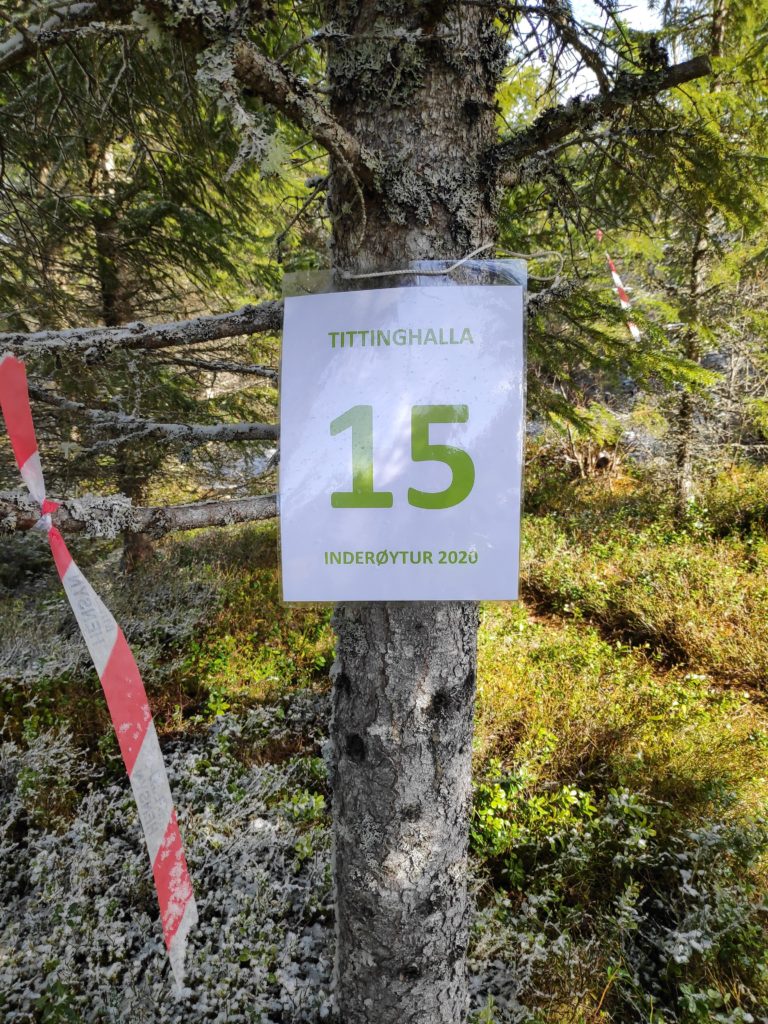
So, back to Wednesday, and our walk. I met my friend on the 755 road at the turnoff to Vangshylla and we climbed up Tittinghalla from there. We started at about 10 am. The picture below shows the trail after the first snow flurry has passed us. We took refuge under some trees during the worst of the snow flurry. It was good to have a rest from the relatively steep climb. It’s actually quite a bit steeper than it actually looks in the photo.

Climbing up Tittinghalla in Inderøy. Picture taken at 10:27 on 13 May 2020.

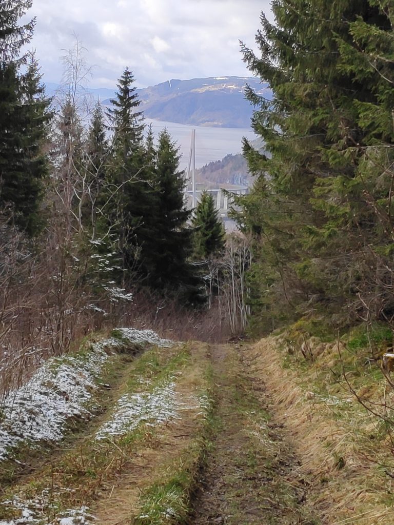
This part of the trail has been a tractor road for taking out lumber from the forest. There are deep ruts from the continued use of a tractor, and the climb can be quite steep in parts.

By the time we got to the summit of Tittinghalla, the sun was shining again.

Time: 10:42, so a little more than a half hour’s walk from the 755 road. Note that the sun is shining now.
There isn’t very much view from the top as the trees grow quite tightly. It would have been nice if five or six trees had been taken out to give a bit of a view.
I always make a circle tour around the top of Tittinghalla and it is much more open on the north side of the hill. Here looking toward the hills in Verran which still have snow on the tops.
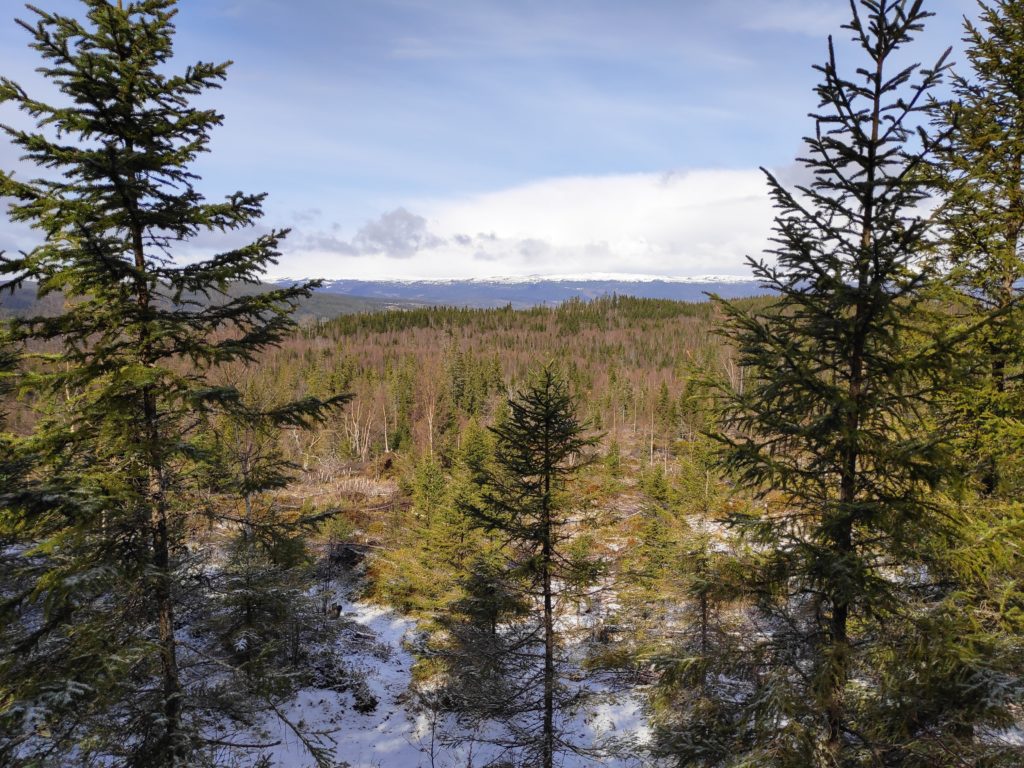
Going downhill at 11:00, the snow is quickly disappearing in the sunshine and we can see Skarnsund Bridge and Mosvik in the background.

We used about one and a half hours from my friend’s car until we were back to her car. I still had another 10 minutes walk home. We were away from car traffic for most of the walk and even though we were talking most of the time, there is only the sounds of the birds when out in nature on a walk like this. You need to be in relatively good shape to take this climb, but I always enjoy the walk through the woods. Take pauses as you need to on the steep bits.

Low water at Vangshylla

The fjords of Norway are tidal water. The tides go in and out twice a day with approximately six to six and a half hours between each turning point. For example, the calculations for Vangshylla in Norway for the 13th of February 2020 are high tide at 2:23 and 14:38 and low tide at 8:21 and 21:04. Tomorrow the tides will be 45-50 minutes later.

Most of my life has been lived in cities on tidal water, except for a few years as a young adult in my 20s when I lived in cities on a river. The daily flow of water in tidal areas creates challenges for life in the seawater, but also brings in nutrients for life in the seabed and washes away “used” water.

For thirty years I drove to work passing over a bridge with a very strong current (“Oh, the tide is going out!”) and two bays that were laid bare when the tide was out. It always feels like the normal way of life. However, people who live on rivers or lakes will have a different seasonal flow to water levels.

Recently there have been very high tides where I live and it has been fascinating to see how high the tide could get. Suddenly I realized that for those who don’t live here, it may be more interesting to know what is hidden by the water when the tide is in. So this morning at approximately sunrise and low tide, at about 8:30 am, I went out to take some photos to show what is actually under all that water that I’ve been fascinated with for the last four days.

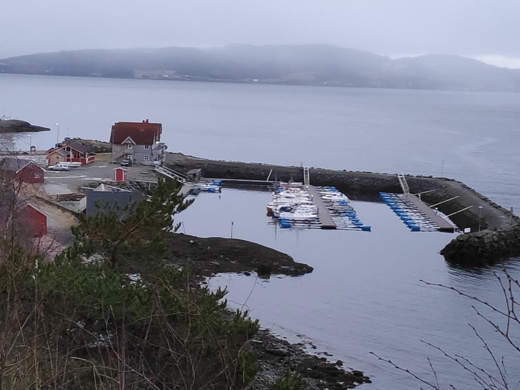
Low water at Vangshylla, Norway, on Thursday, 13 February 2020 at about 8:30 am. Note how narrow the entrance to the boat harbor is when the tide is low. The rock on the left-hand side of the entrance has a marker on it as it would be covered at high tide.
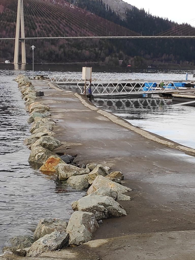
Here is the entrance to the harbor from the inside. At high tide recently, only the rocky edge on the far side of the breakwater has been visible. There has been about three meters difference between high and low water. Anything that is very dark in color is covered in seaweed and would be covered almost every time the tide comes in.
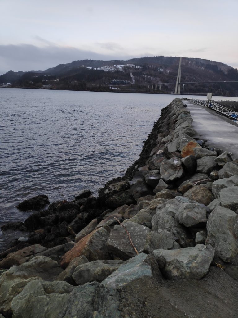
Here is the outside of the breakwater at low water. The photo shows how steep the sides of the breakwater are. Here too you can see a dark area which would be underwater at every high water.
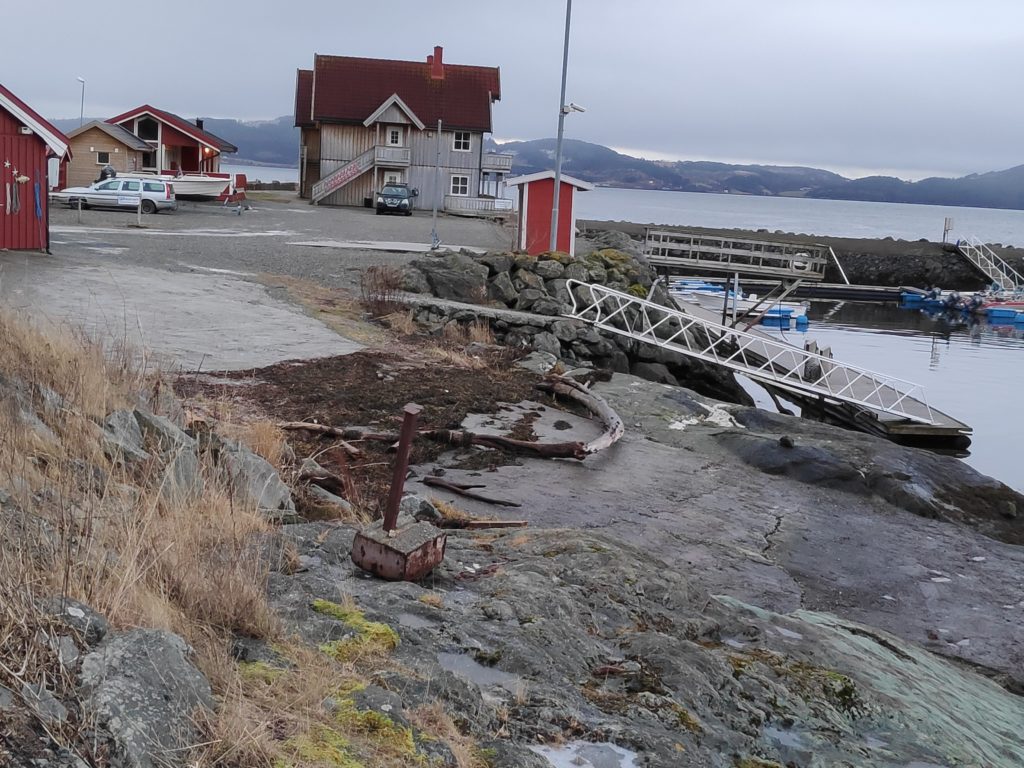
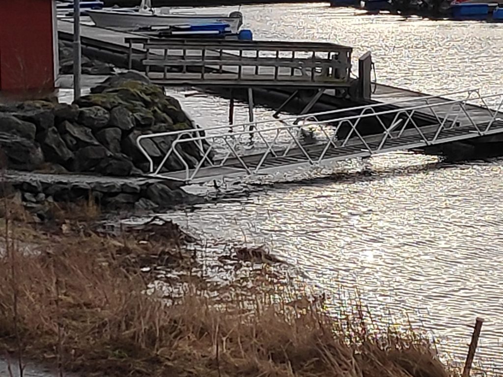
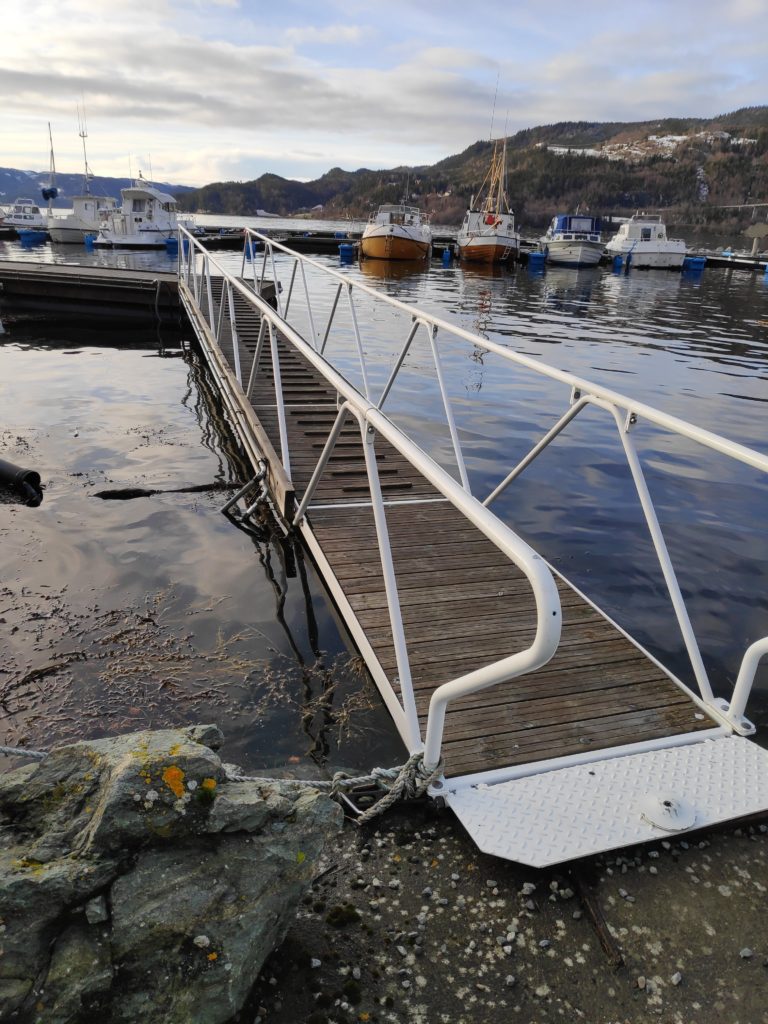
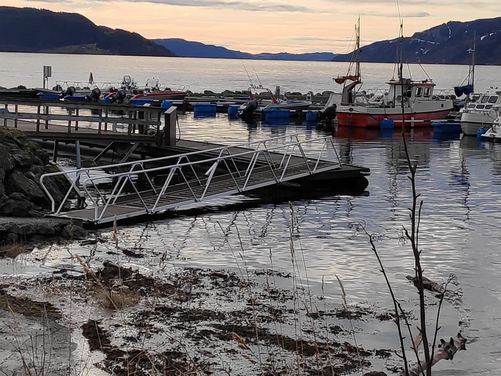
Here you can see the seaweed and logs that have been washed ashore at the high tide and left as the water receded. This gives an idea of how high the water actually came in the last couple of days. Note the steepness of the white ramp down to the floating dock, where yesterday at high water it was actually going uphill.
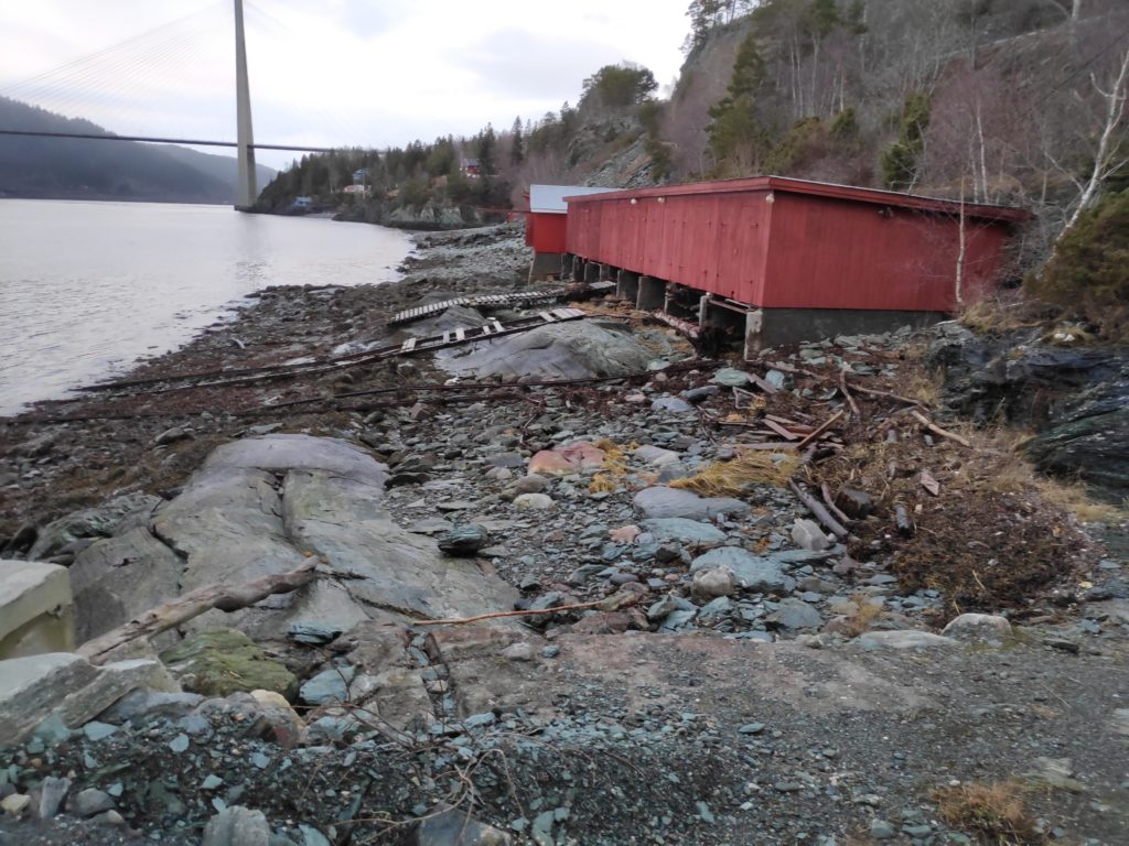
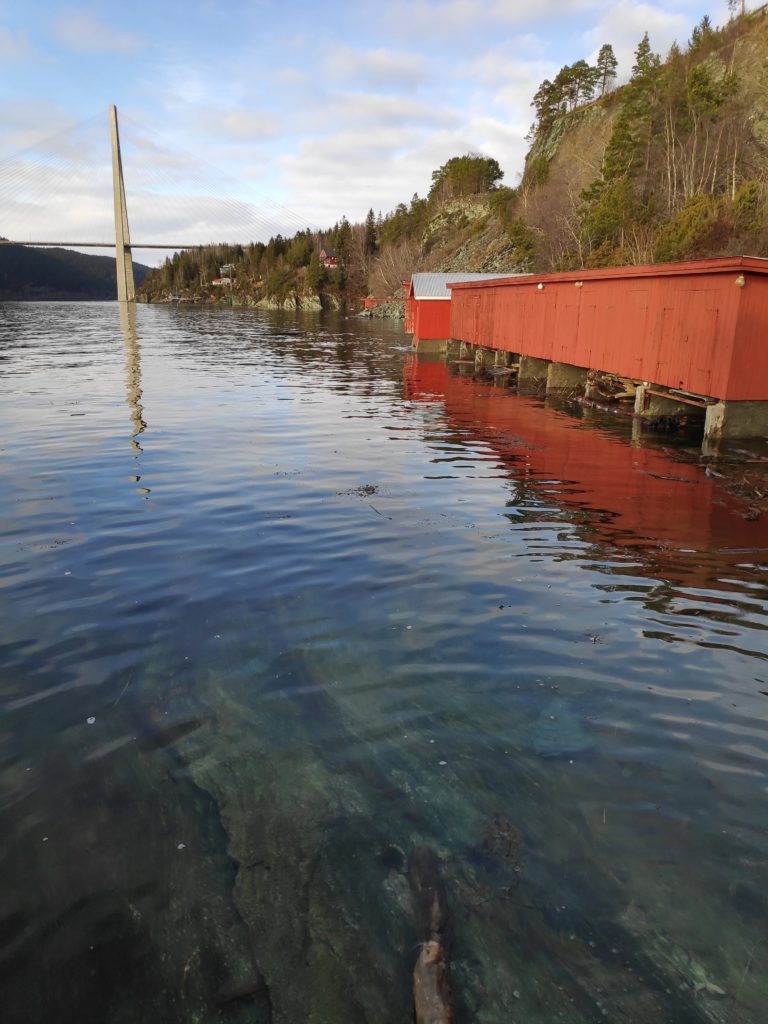
We have often walked along this very rough beach area in front of the boathouses, though at high water no beach was visible. This is an area one must know one’s tides to be able to make use of the beach.
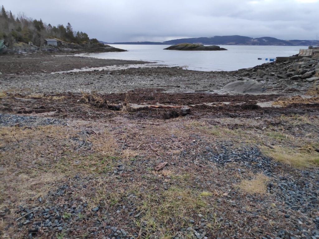
“Vangshylla” actually means the shelf at Vang and here the shelf can be seen at low water. It is not a sandy beach, but it stretches out quite a way from the high water level which can be seen by the piled-up seaweed.

High water – day 4

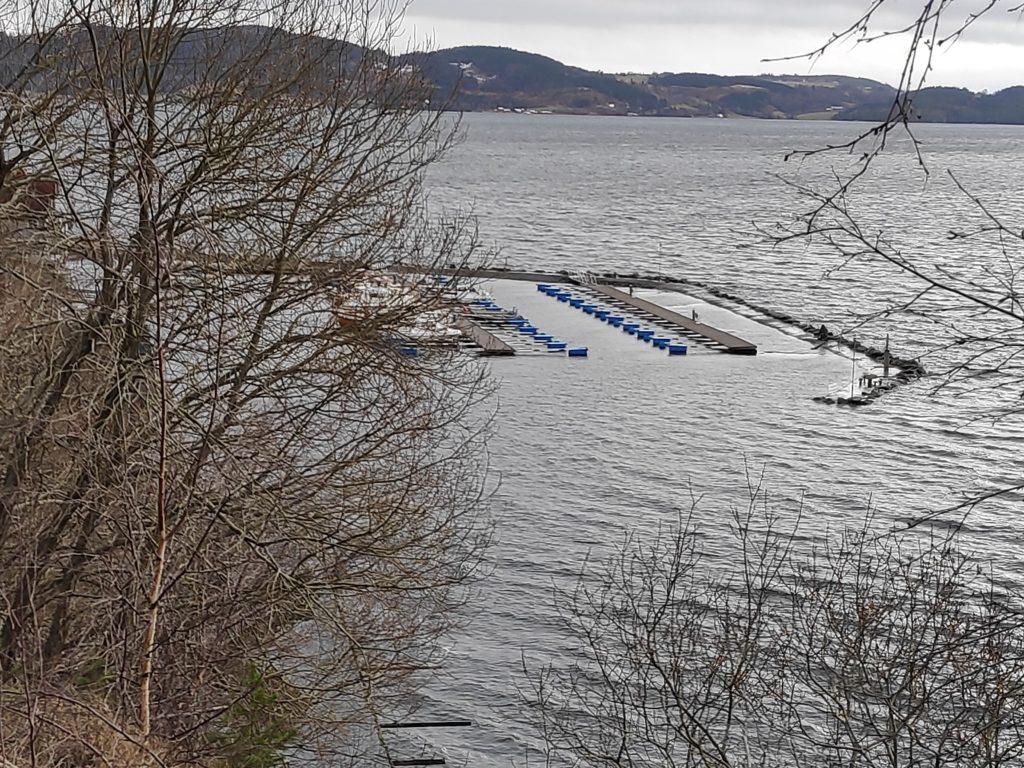
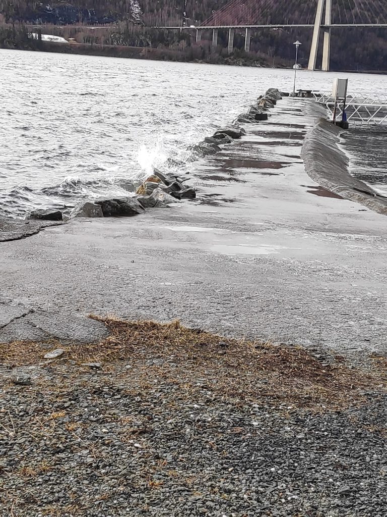
Today there was still a very high tide in the afternoon at Vangshylla. It was about 20 cm lower today than yesterday, though still about 40 cm above the calculated high water in the tide tables. Today was a bit windier than yesterday so there was some wave action on the breakwater.

One thing that I find interesting is how accurately they were able to calculate the additional affects of the weather on the high and low tide levels. Even the low tides have been higher than normal.

It is normal that the height of tides varies from day to day, with a monthly swing based on the moon phases. The highest and lowest tides will be when there is either a full moon or a new moon. Where we live there will normally be two high tides and two low tides every day, and the times move about 45 minutes later each day. So yesterday, high tide was at 13:09 and today it was at 13:53. In three days time, the difference between high tide and low tide will only be 2 meters, instead of the 3.5 meters the last few days. This is part of the regular cycle.

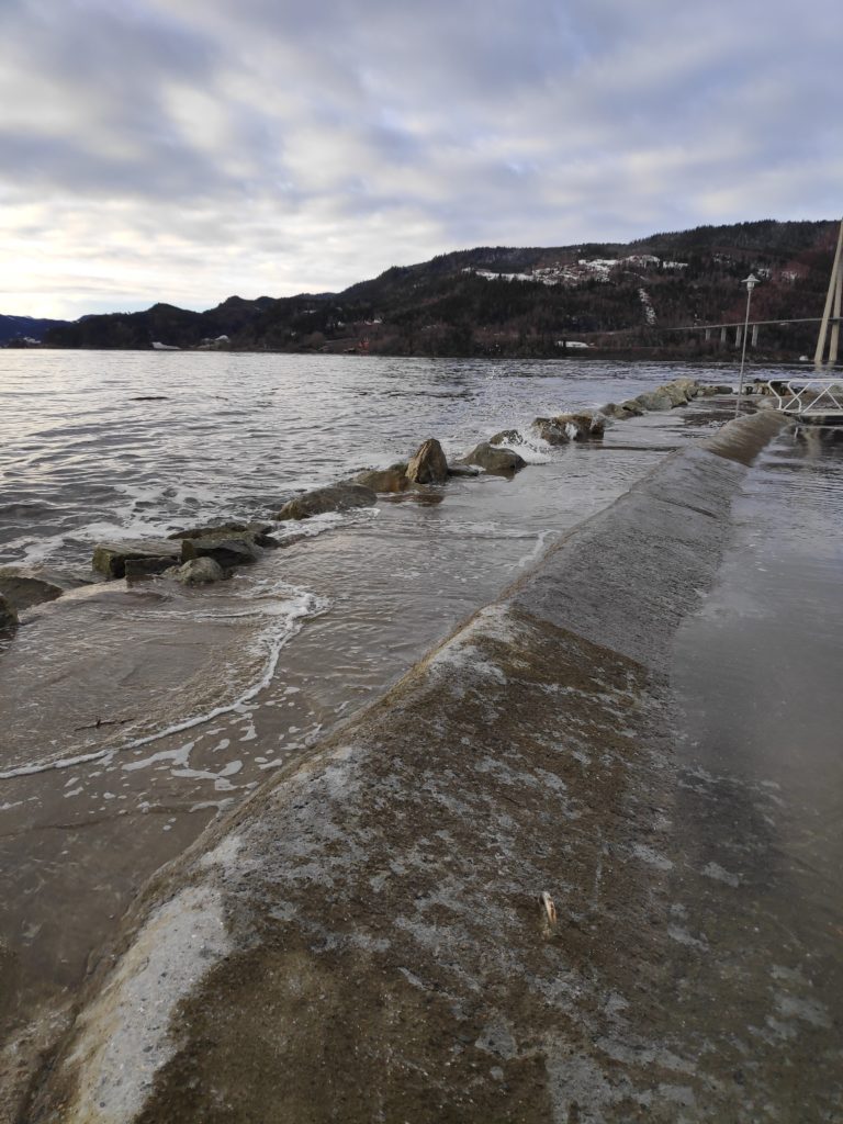
This picture was taken about 15 minutes before the official high tide. If you compare it with yesterday’s picture you will note that the breakwater is much more visible, though still quite wet on top and waves were breaking over it. Yesterday the end of the breakwater that bends inward was not visible above the water at all.
Though there weren’t a lot of waves today, there was enough wind for even gentle waves to break over the top of the breakwater leaving it very wet.
It was much more obvious where the end of the breakwater was, with the stones on the outside edge at least showing the location of the breakwater. One news item yesterday was about a boat that had grounded on a breakwater that had been completely covered in water and not visible. That was farther north in Norway where they have also been having extremely high tides,
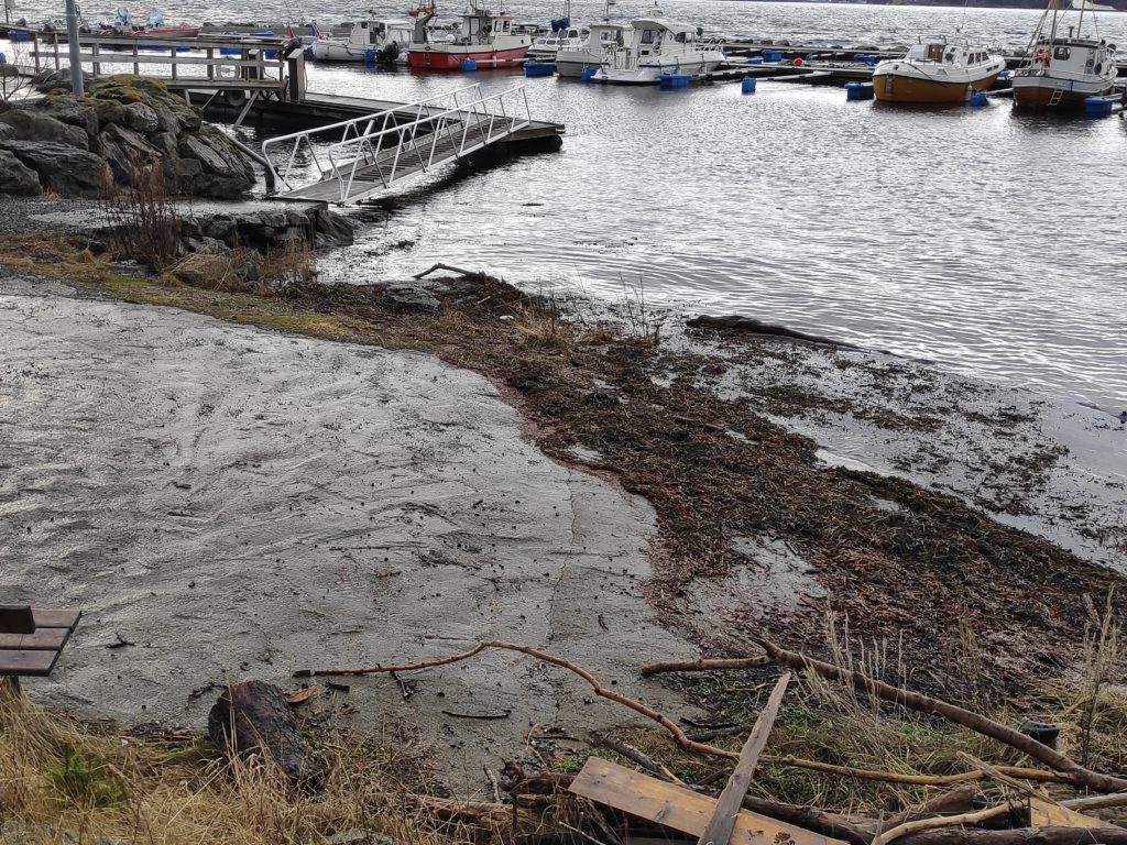
Quite a bit of seaweed has been washed up on land, but it also indicates that the water was not going to be so high today.
Though it is still a bit uphill along the ramp to the dock, the clearance underneath is much greater than yesterday. Note how much space there is between the ramp and the water. The gap was measured at about 20 cm, which would indicate that the water is 20 cm lower today.
High water – day 3

High water peaked at 13:10 today (2020.02.11) and at 406 cm, which is about 20 cm higher than yesterday. Today the weather was nicer so I was able to take more pictures. The sun was shining and there was no wind. The only waves were when a boat went by.

A high tide at 406 cm occurs roughly every 50 years. The highest astronomic high tide is 364 cm. Anything higher will be caused by weather, which at the moment has to do with an unusually low pressure storm off the coast of Norway. The low pressure pushes the ocean onto the shore creating higher tides than normal.

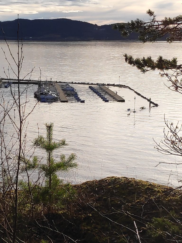
This picture was taken at 13:23 shortly after high water at Vangshylla on Tuesday, 11 February 2020.
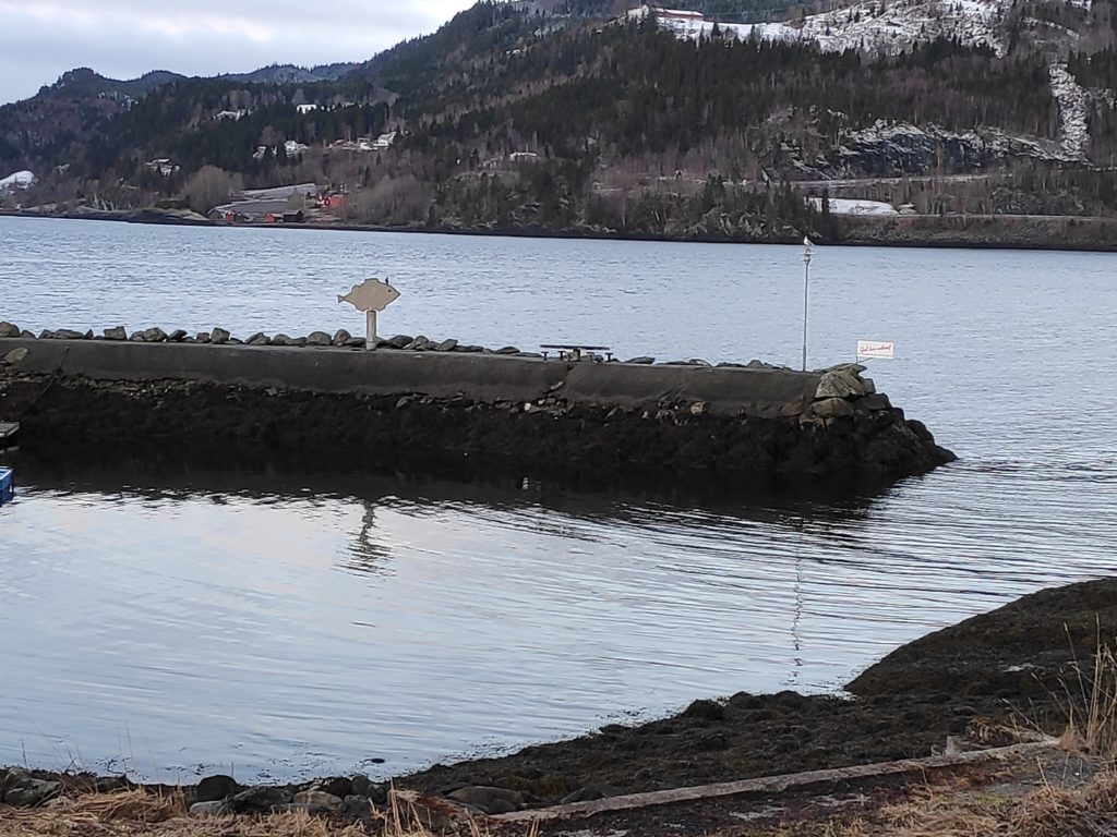
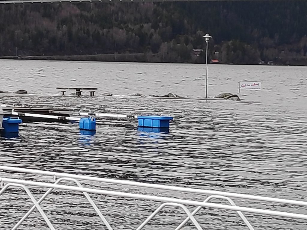
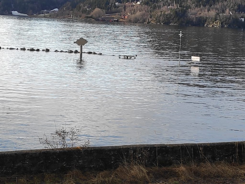
The end of the breakwater was definitely under water, though the table and signs showed where there was something under the water.
The breakwater was dry until a boat went by and the boat’s wake broke over the top of the breakwater.
Not much beach to walk along today.
It was definitely uphill to get onto the dock.
Definitely uphill to get to the boats.
Note that the left end of the ramp onto the dock is almost in the water. There may have been one or two centimeters of air between the ramp and the water.

The forecast is for high water to be a little less tomorrow, but still much higher than normal.

High water – day 2

High water topped at 12:30 today and 386 cm, so almost 20 cm higher than yesterday. Today there wasn’t so much wind, so no particular wave action on the breakwater. On the other hand, it was raining a lot and more difficult to get good pictures.
High tide at Vangshylla at 12:18 on 10 February 2020
Walking out to the boats was on a level, or perhaps slightly uphill.

I was surprised to see men out on the breakwater fishing. They were wading through the water and standing on the table. Two more fishermen arrived while I was taking pictures. I felt that it is a bit dangerous to be on the breakwater when the tide is so high and with more than four meters of water on the inside of the breakwater. I wonder if the fish bite better at high tide. I’m not an experienced fisher so I don’t have the answer to the question. My fishing is done in the freezer department in the food store.

Tomorrow the forecast is for the tide to be even higher still, and hopefully the weather is better to get even more pictures. I’m using data from www.kartverket.no/sehavnivå. The measurements are taken in Trondheim and adjusted for us living farther in the fjord. Time difference is calculated at 0 minutes and height difference at 1.04. It can be noted that the low tides are also 50-70 higher than the tide tables.