After a shopping trip in Trondheim, my husband and I were looking for a small park where we could relax, eat our sandwiches and have a walk before starting the two hour drive home again. This blog article is about the place we found.
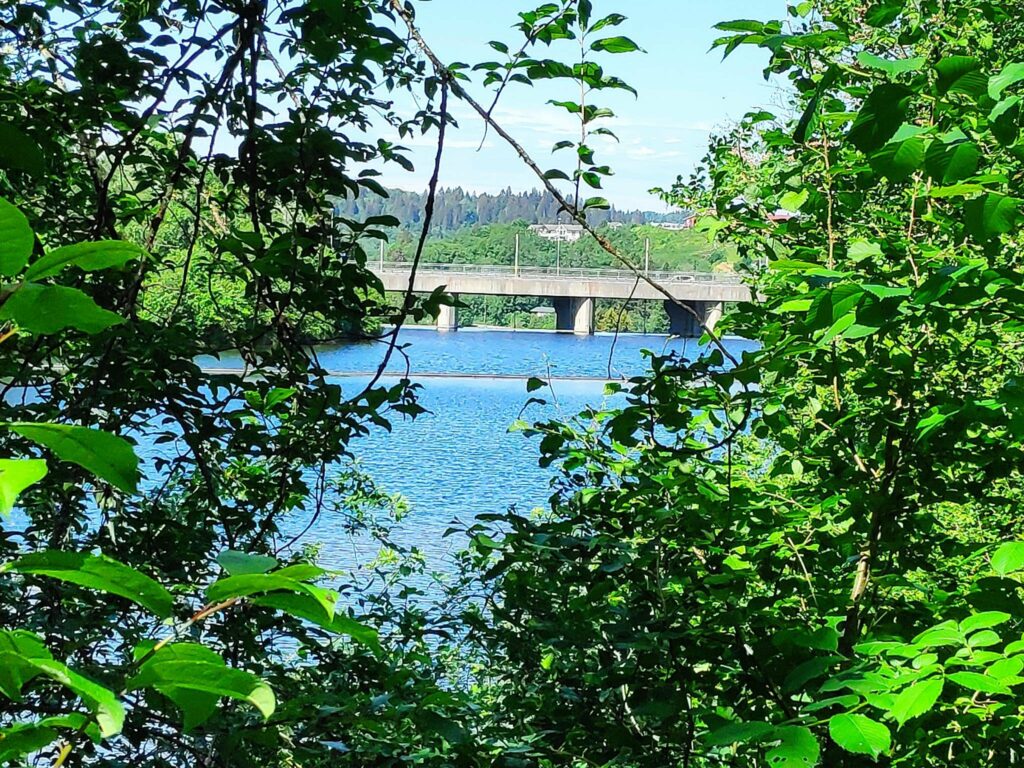
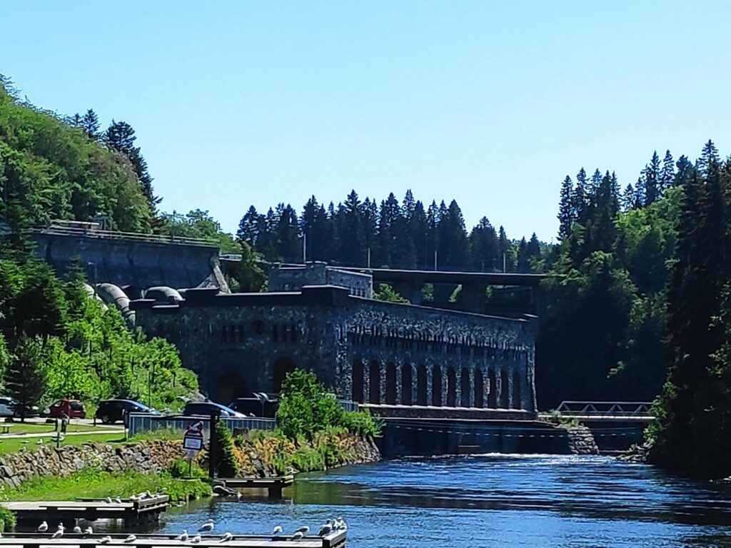
The Nid River is the river that flows through the city of Trondheim. It is 30 km long and starts in Selbu Lake and empties into Trondheim Fjord. On its journey it is dammed three times and used to make electricity in six places. We came across the dam called Nedre Leirfoss (Lower Leir Falls). Though today there is no waterfall visible from where we were, there is certainly a considerable drop which would be why this location was chosen for a dam and electricity production. All the water is returned to the river after having been used to produce electricity, primarily for the city of Trondheim.
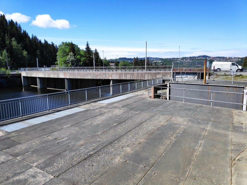
We drove over this bridge and it wasn’t until we had parked our car that I realized that it was a dam.There was a car parked here with the name “Statkraft” on it and the door was open to something under the road.
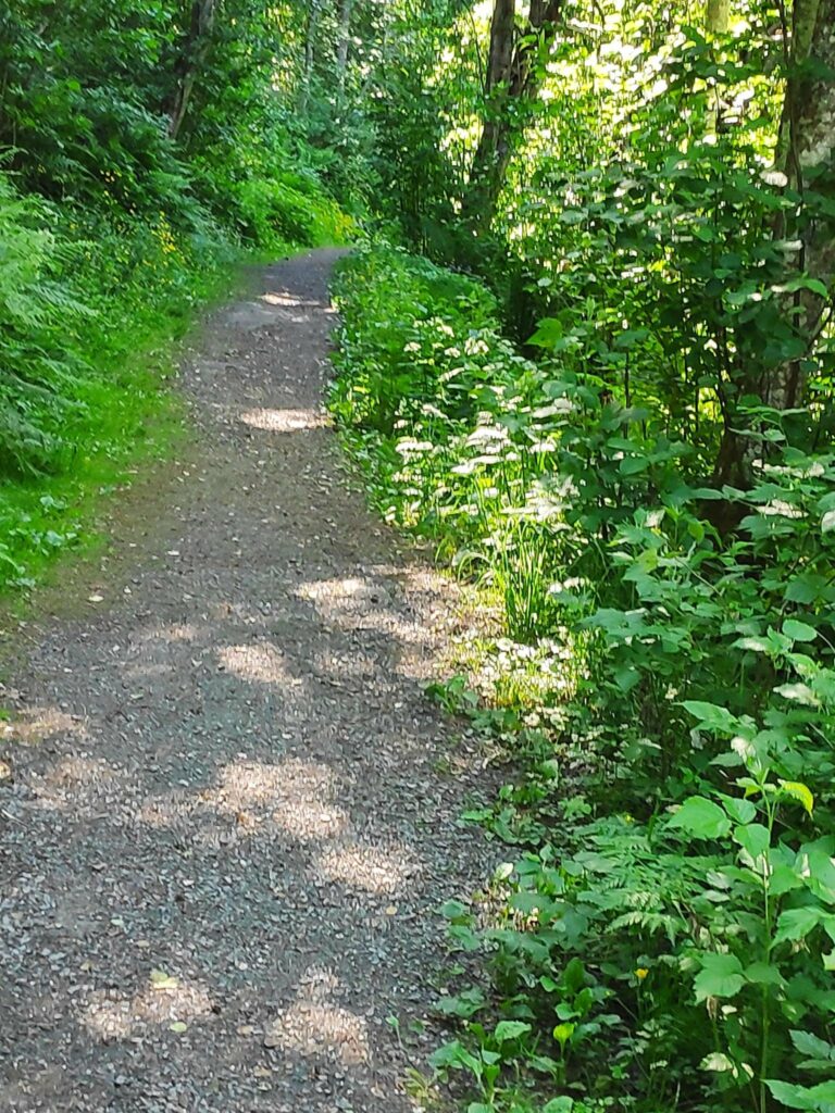
We were looking for a place to eat our sandwiches and we found a parking spot off the road on the eastern side of the bridge. We found a pathway into the woods which we followed for a bit, but it was obvious that there would be no comfortable place to sit and have our sandwiches. So I looked at the map on my phone again and realized that if we had driven just a bit farther there was a park with parking. So back to the car and we drove just that little bit farther.
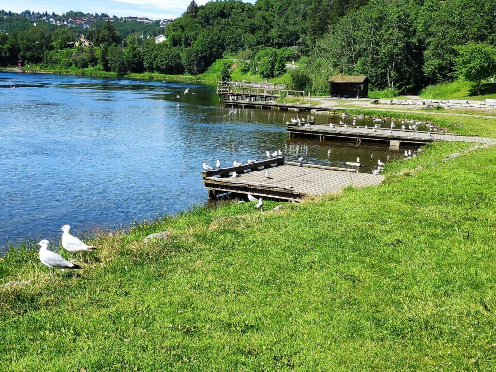
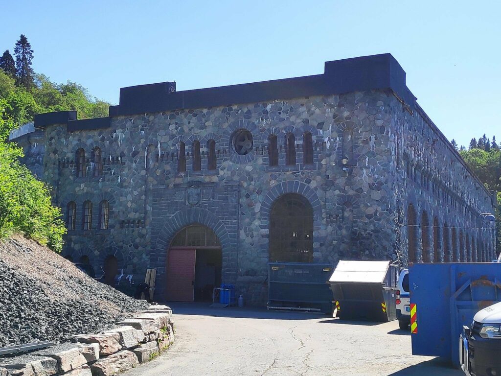
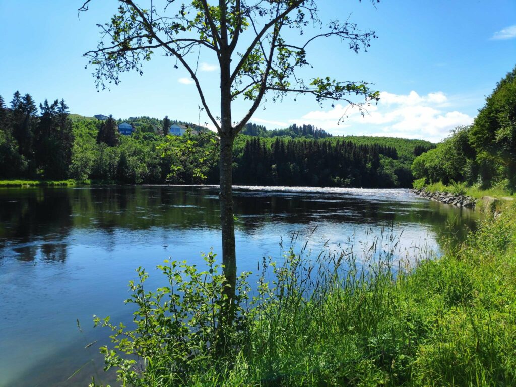
We followed a path into the woods. A sign had told us that we were in a nature reserve set aside in 1987. It is specifically to protect a deciduous forest of elm, ash, alder and grey alder.When we drove just a little bit further there was an open area right on the river. Because of the quantity of seagulls in the park, we chose to eat our sandwiches in the car and then go for a walk. I didn’t really want to share my sandwiches with the local residents. When we took our walk we continued along the path that followed the river.Looking up the river from the park, one sees the power station that was built between 1905 and 1910. It still produces electricity, but a newer power station has been built and was put into service in 2008. The new power station is completely underground and the water is returned to the river approximately here. At the top of the picture you can see the bridge that is over the dam and to the left you can see the large pipes that lead the water to the turbines. The water has a 27 meter fall to the turbines here.A close-up of the power station. The gates were open and several cars were parked here. The door to the building was open so there were obviously workers here.
A story from one of the signs in the area. The Canadian artist, Hal Foster, wrote and illustrated the cartoon series, Prince Valiant which was produced from 1937 to 1982.. Prince Valiant was the son of Kong Aguar of Thule, who lived in the wilderness of England at the time of King Arthur. Foster must have seen a picture or postcard of this power station and he used it as the basis of Thule’s castle in Vikingholm in the cartoon series.
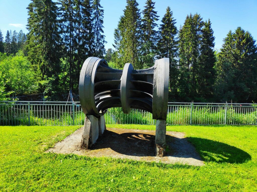
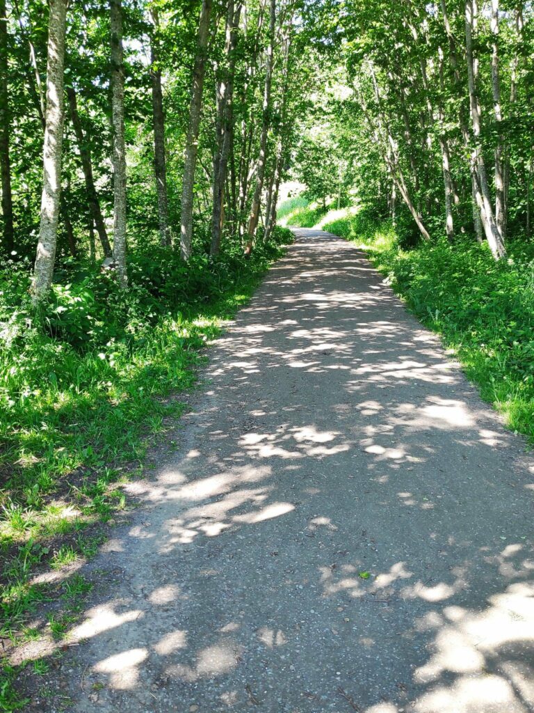
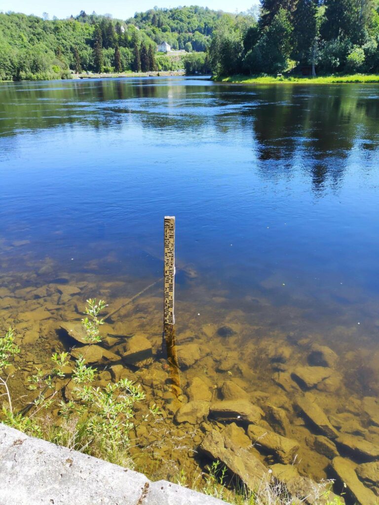
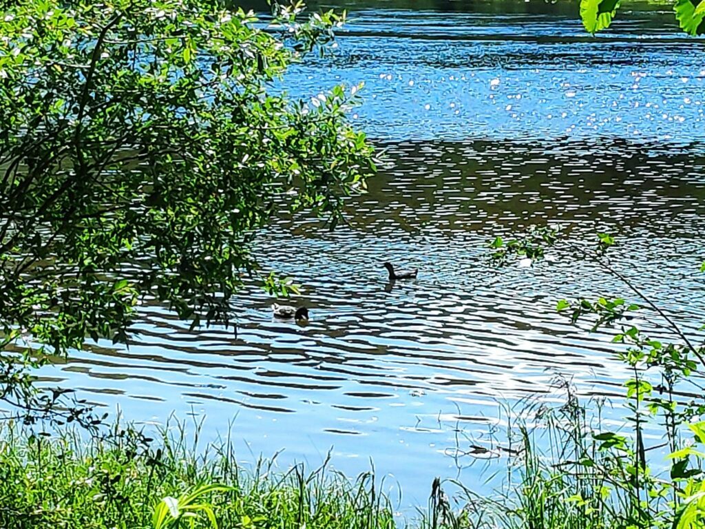
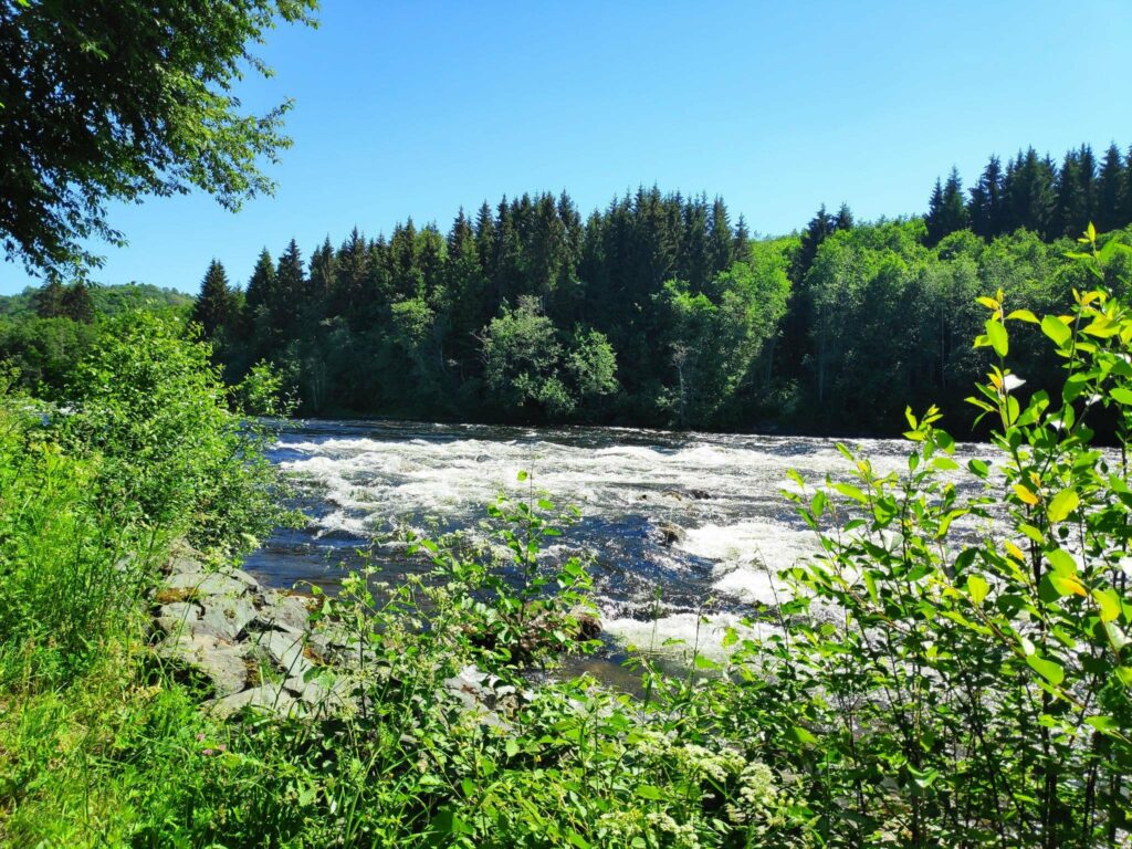
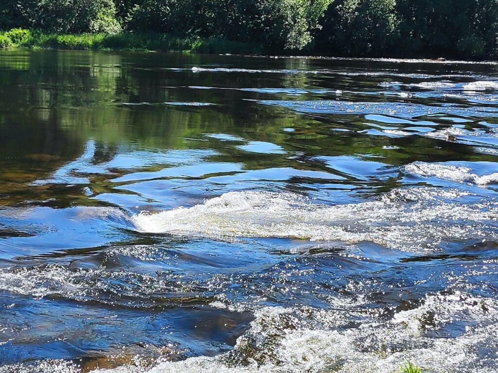
Naturally there was a turbine on display near the power station.As we walked away from the park, going down the river, sometimes we were in the shade of trees and sometimes out in the open. The path was very easy walking.The first part of the river below the power station was very smooth, though there was very obviously a strong current and a lot of water in the river. At this point we could see in the distance where the river became shallower and rocks broke the surface of the water.Looking upstream towards the power station. This stick was near the edge of the river and was obviously used to measure the depth of the water. I imagine that if there was any flooding, the path we were walking along would be covered in water.Two of the local residents enjoying a swim in a quiet section of the river.Here the river was certainly much noisier as the water tumbled over a rocky bed.
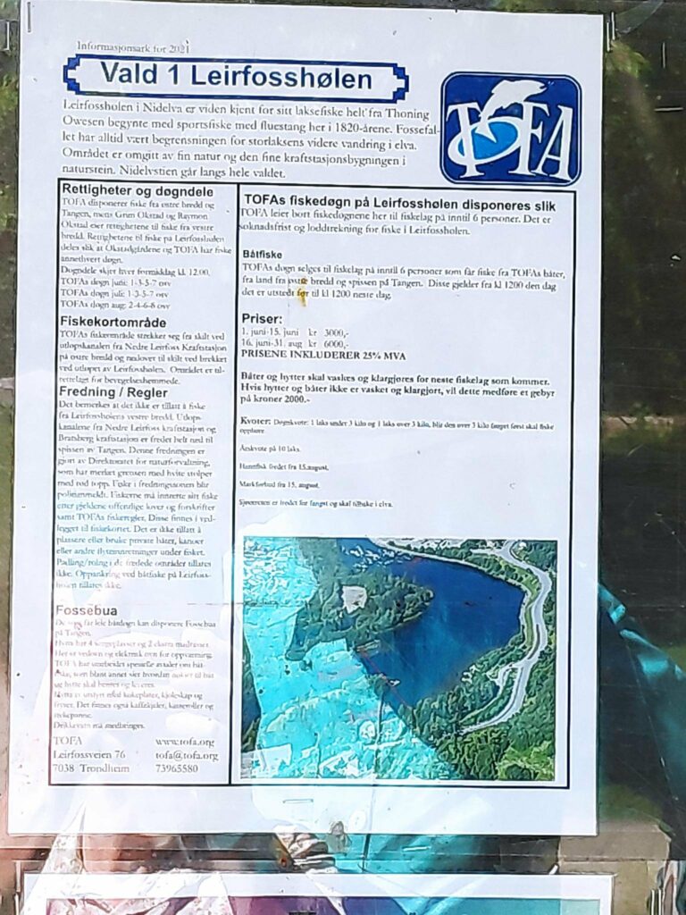
The Nid River is a salmon river up to the Lower Leir Falls, which was always its natural limit for the wild salmon. Today this area of the river is regulated for fishing, either from land or from boats.
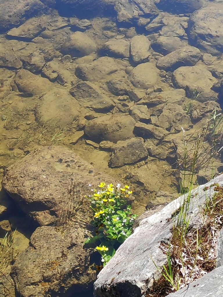
A small shelter for fishermen on the edge of the river.The rules are laid out with a map of this particular portion of the river called “Leirfosshølen”. It costs quite a bit to have a fishing licence here and each person is allowed maximum 10 salmon a year. The fishing season is from June 1 to August 31.Some plants like lots of water.
We had a very relaxing walk, for about half an hour, away from traffic. The day was sunny, but not too warm (about 20 degrees Celsius). We weren’t in a hurry. It wasn’t necessarily quiet, as the river was noisy. We met a few other people walking including those who were walking their dogs. Cyclists also used this path along the river. This was a little park I would go to again when I’m finished my shopping in the south of Trondheim.