Marsteinsvola

The radio mast is the goal for this walk. There was still a little way to go to get to it when I took this picture.

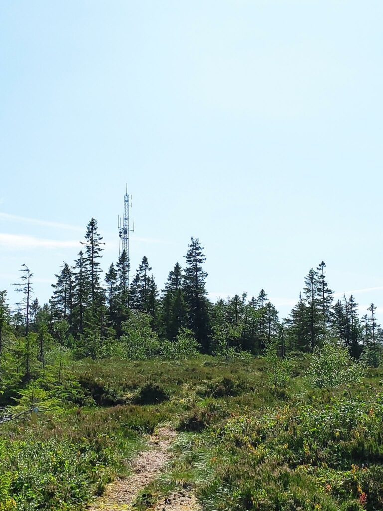
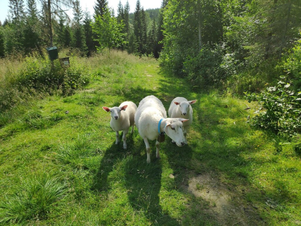
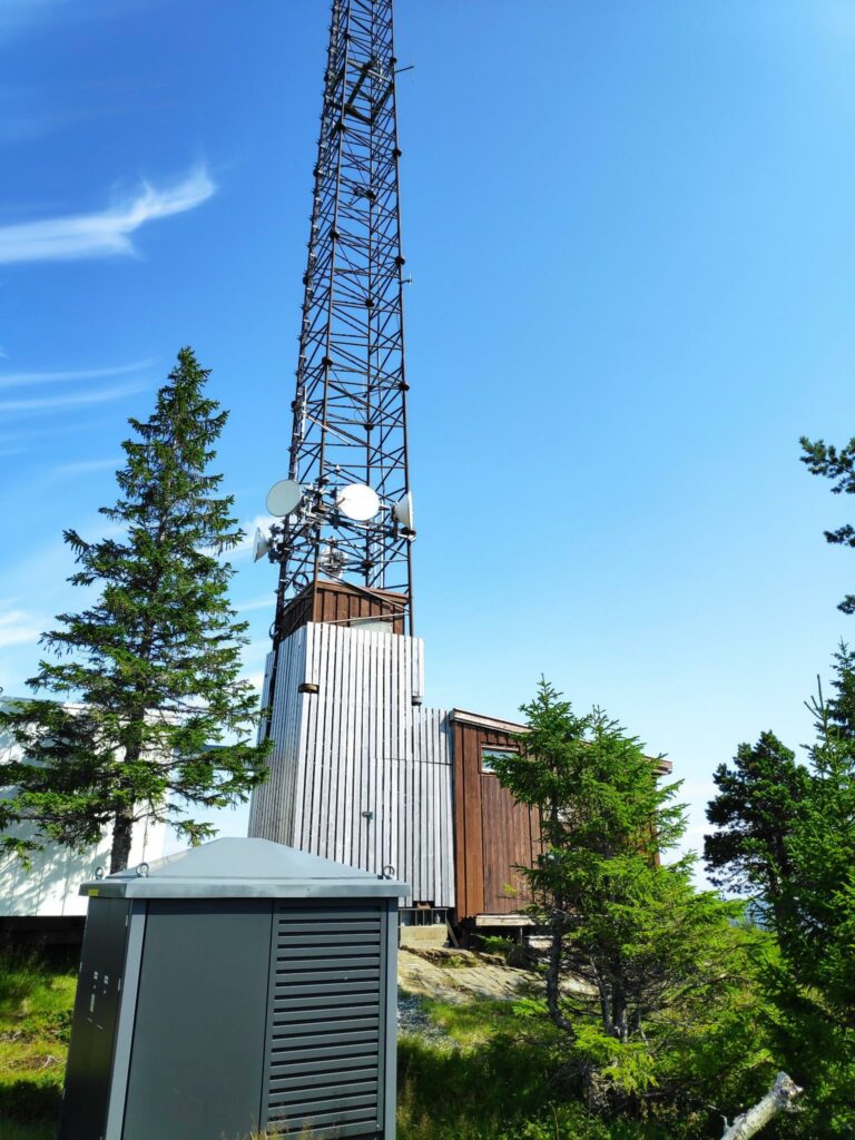
Saturday’s long walk was about 10 km and my walking companions were my husband and my son. Marsteinsvola is a hilltop that has a ham radio mast (among other things) and lies at 442 meters above sea level.

This walk was much longer than any of the three of us really enjoy. was that this was the But my son has his ham radio license and my husband is studying for his license, so I thought that going up to see the mast was a good goal for a walk. A new period of warm weather was being forecast when we were planning this walk the evening before, so it looked like we would have clear skies, it wouldn’t be too warm and hopefully there wouldn’t be too many insects. Well, read on to see what we experienced.

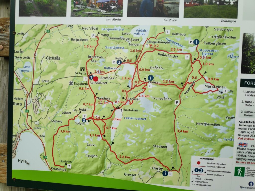
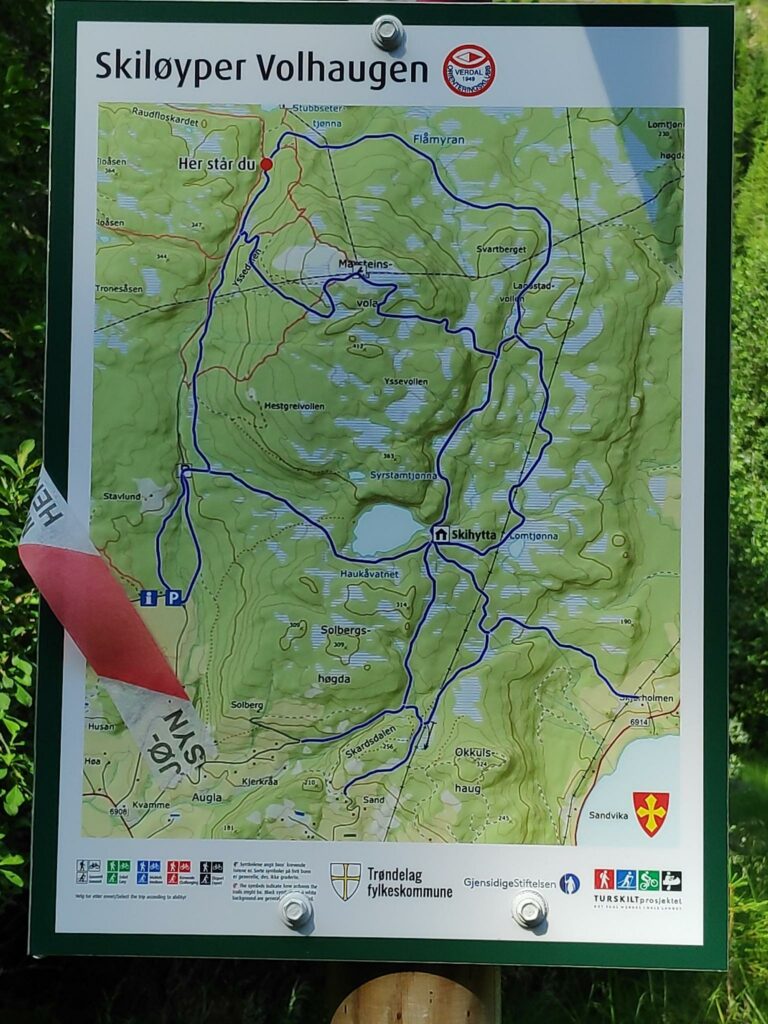
I will start with a map so that you can see the route that we took. We were able to take a round trip, meaning that we went up one trail and came down a different one. Only the half kilometer of road out to the parking lot was done on both parts of the walk.

This is the same map as for Finnheimen and Søråsen. The red lines are the main trails and parking is marked with a large P.

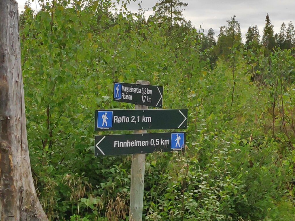
We parked at Røflo (2), near Inderøy’s main water source, Røflovatnet (188 meters above sea level). We walked along the north side of the lake and took the trail through Røfloskardet (280 meters above sea level). This was our first steep climb. At roughly the T on the map, we were able to check-in to the app on our phones and get 30 points for our efforts so far. We have now walked about 2.5 km, so about half way to our final destination.

We continued on uphill on the trail to Marsteinsvola (442 meters above sea level), a challenging climb with some very steep sections that got us older walkers puffing and panting and needing breaks to get our breathing and heart beat back to normal before continuing. The younger person got to the summit much quicker than his older parents. However, we got 50 points for our efforts when we got to the top. At the top we took a good break, drinking water and eating sandwiches so that we would have the energy to get back to our car.

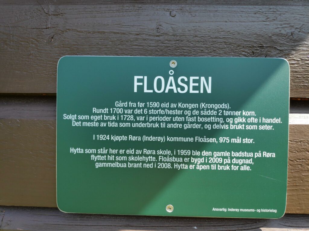
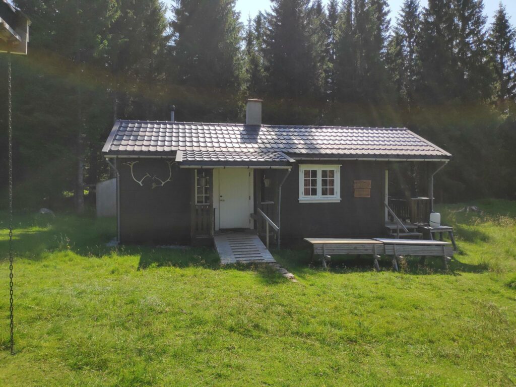
We took the alternative route downhill that took us through Yssedalen/Ydsedalen (two spellings found on the walk) before heading west to Fløåsen (about 280 meters over sea level) where we got another 20 points. Here we took a sit-down pause before taking the final downhill section back to the parking lot at Røflo where we found our car still parked in the shade.

How long did this take? We left the car at about 10:30. I checked in at Stubbseteren at 11:15, so we used about 45 minutes on the first quarter of the walk. I checked in to Marsteinsvola at 12:10, perhaps 5 minutes after I got there, so we used a little more than one and a half hours from the car to the summit. We spent about half an hour at the top before heading back to the car. I checked in to Fløåsen at 13:34, so about one hour after we left the summit. We had a rest for at least 10 minutes and were back to the car at 14:00. So we used a little under one and a half hours to get back to the car. As usual, it takes a little less time to go downhill than uphill. For the round trip we used three and a half hours.

Norwegian vocabulary

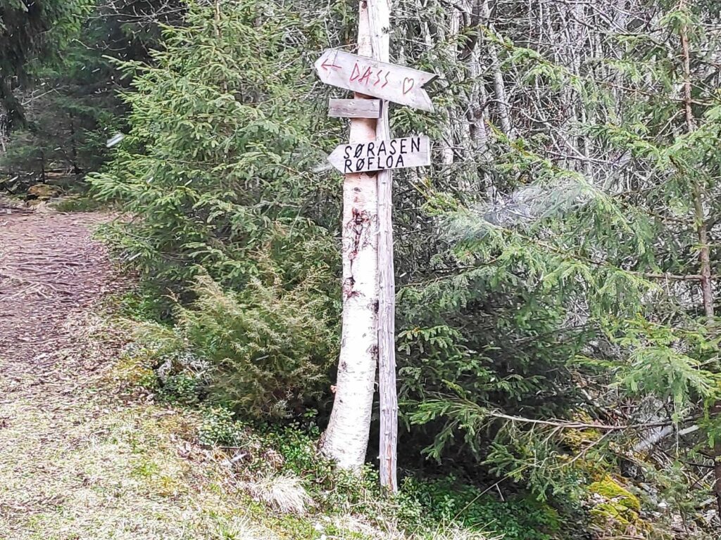
A lot of the place names are actually based on words that refer to a type of place. Here are a list of some of the ones that we come across a lot in our walks in Inderøy You will find these on the map above. In Norwegian, nouns use an ending to show the definite article (the) that we put in front of a noun in English. The most common endings are -en, -et, -a.

  • bekken – the stream, the brook
  • berget – the mountain
  • dalen – the valley
  • haugen – the hill
  • heimen – the home
  • hytte – cabin; hytta – the cabin
  • myra/myran- the bog
  • seteren – the mountain farm, usually used only in the summer
  • skardet – the gorge
  • tjønna – the small lake
  • vatnet – the lake
  • vola/vollen – the embankment
  • åsen – the ridge

Norwegian has many dialects and this will be reflected in place names. The same word can have many spellings, and pronunciations, depending on what part of the country you are in.
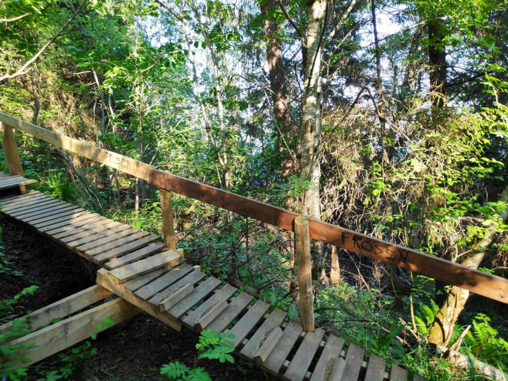
The Trail

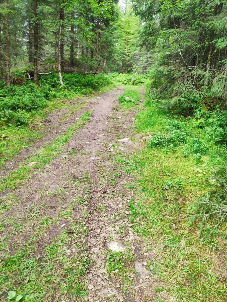
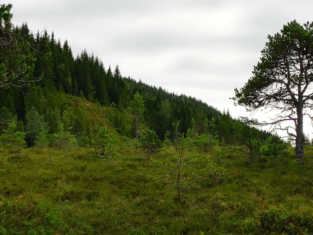
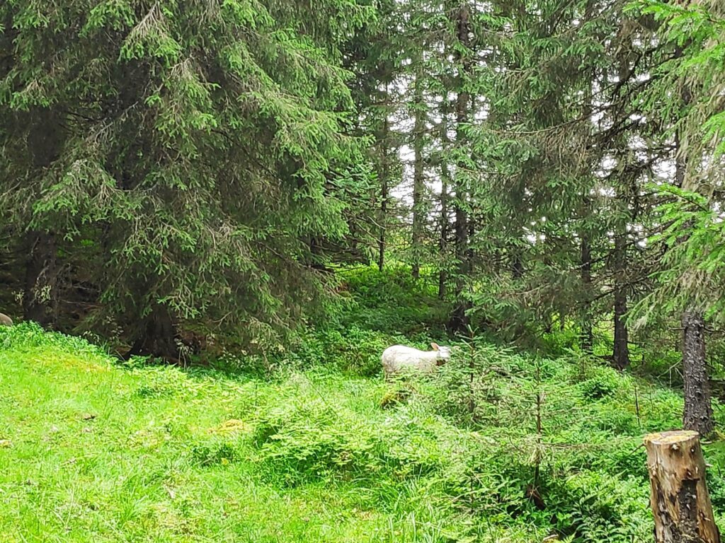
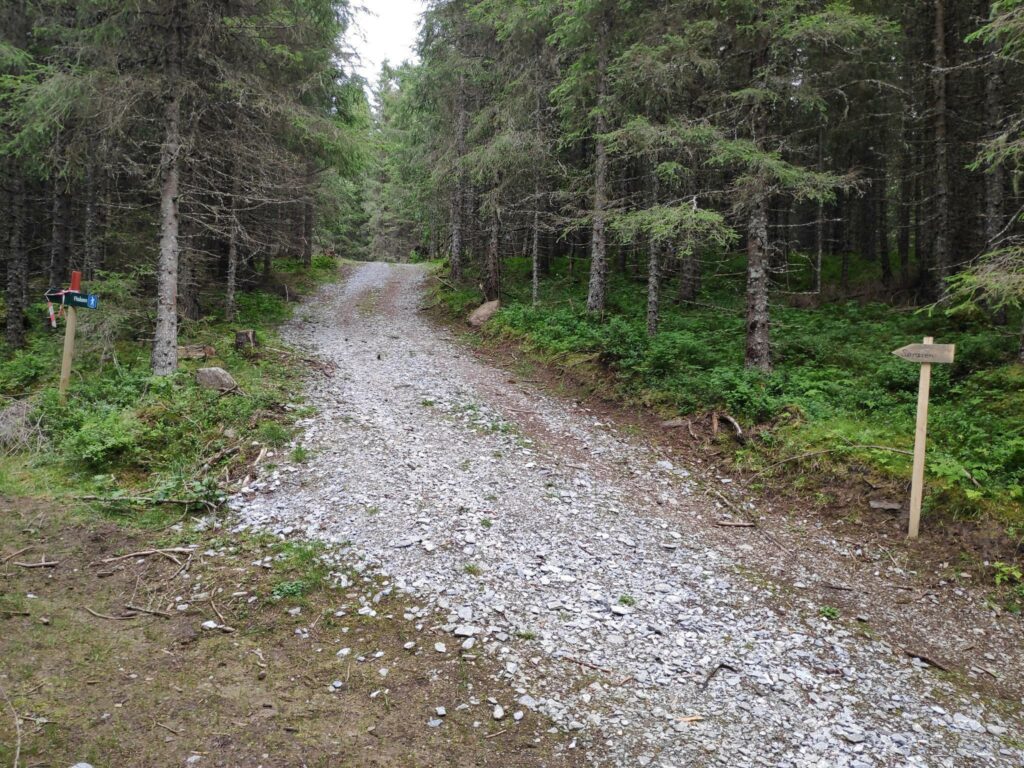
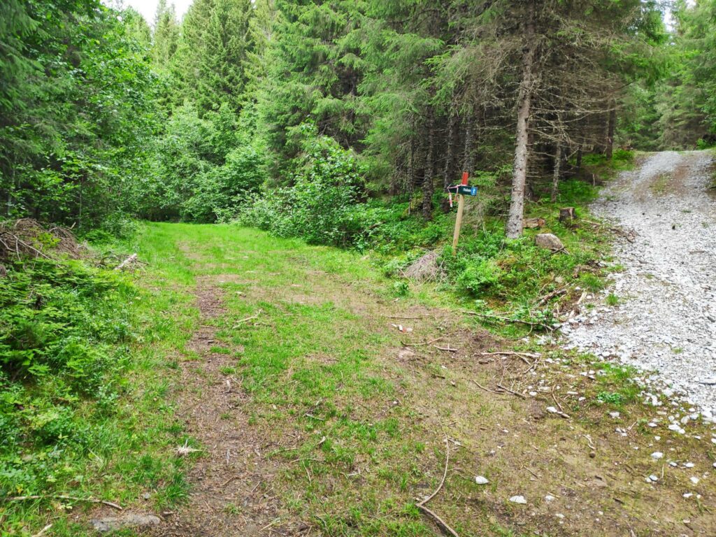
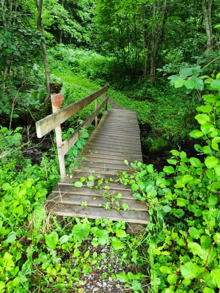
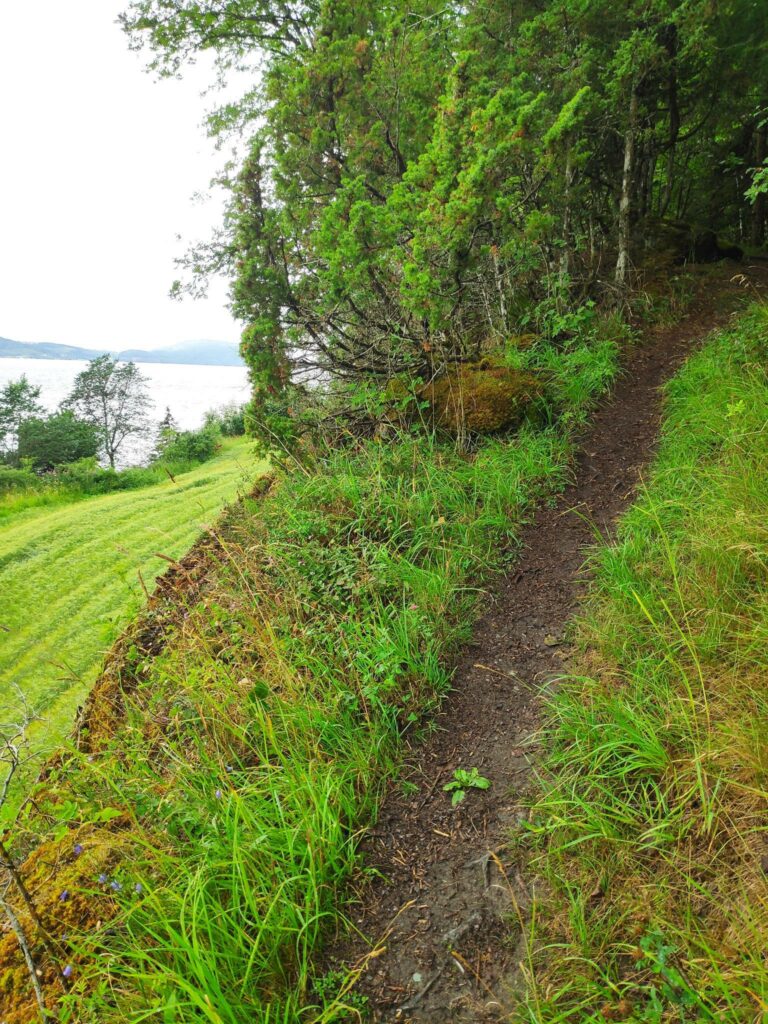
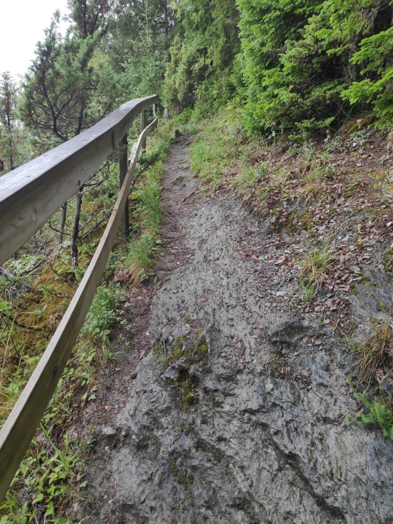
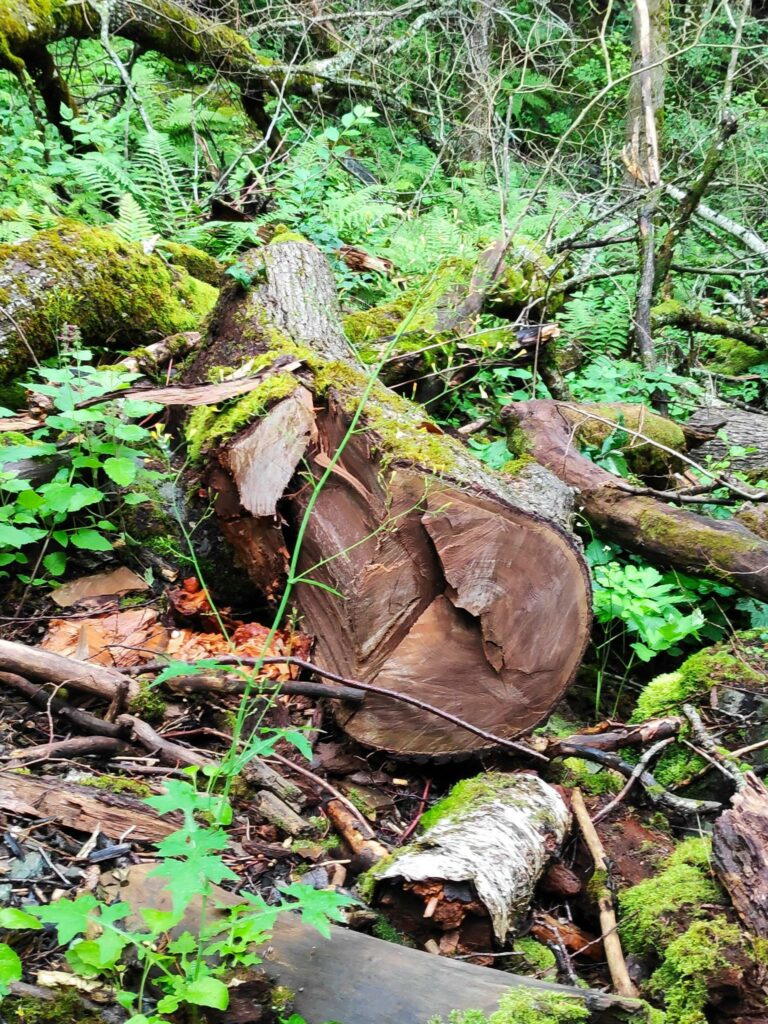
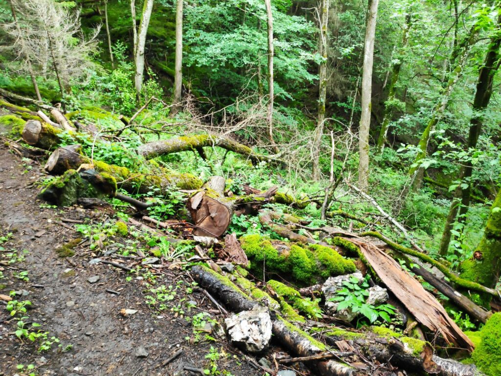
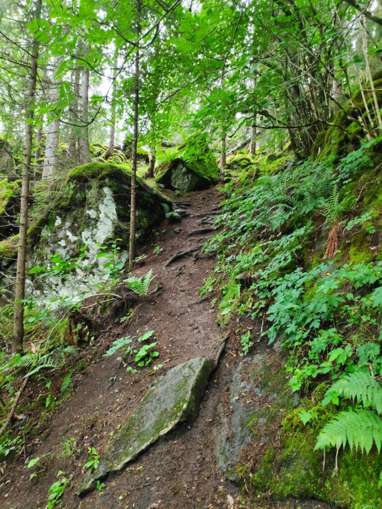
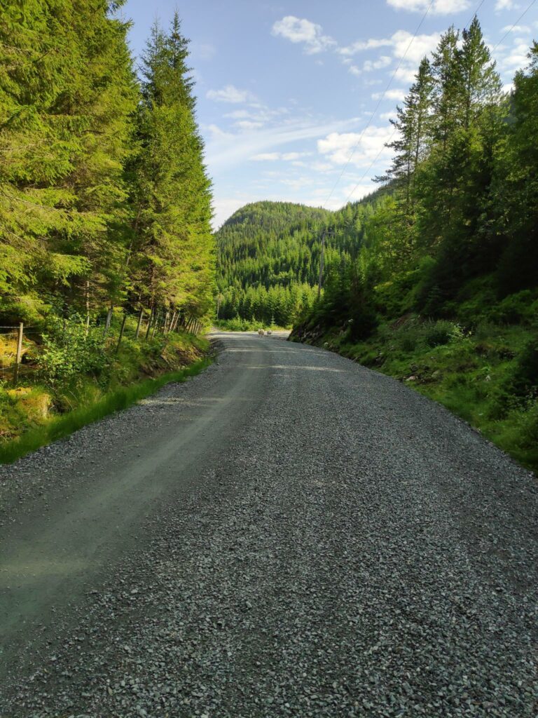
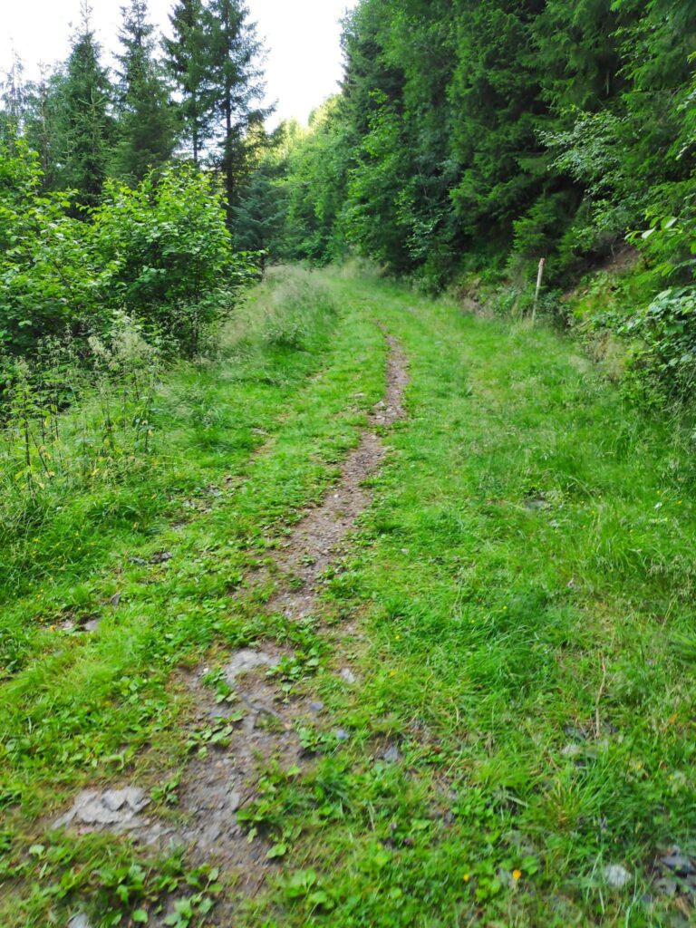
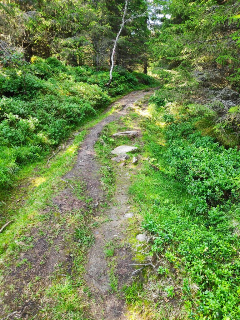
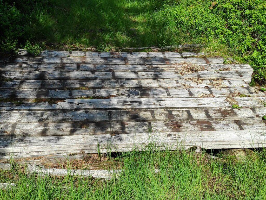
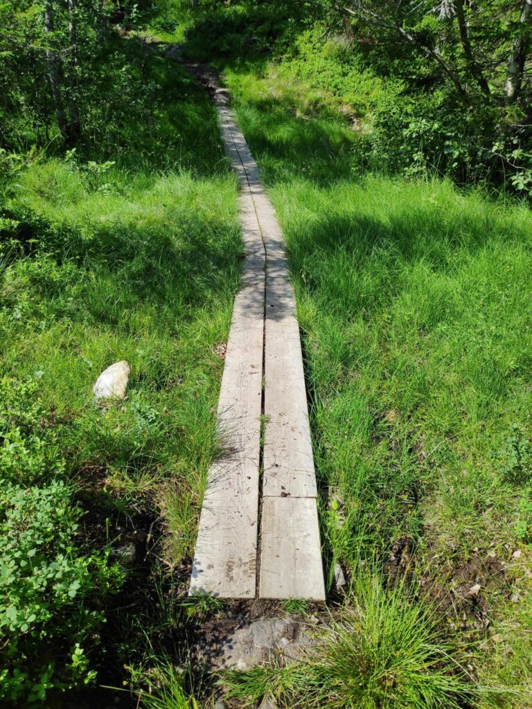
The nature of the trails that we were following varied. We started on a gravel road. We had sections that were obviously originally tractor roads, wide enough for three people to walk abreast. In some places we had lovely dry forest trails and unfortunately, this walk entails a lot of very swampy, wet ground. We all had good shoes on, a must on this hike.
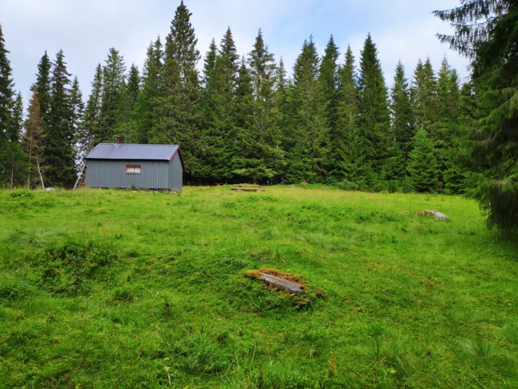
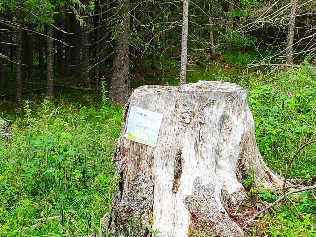
The first half of a kilometer was along a gravel road. We are going to turn off to the right to start climbing uphill.
We won’t be the only ones out here. This gate on the road marked the difference between “innmarka” (the farm’s cultivated land) and “utmarka” (the wild area where sheep would be left on their own for the summer). The gate must be kept closed and the signs give information about who to contact if one sees damaged animals and also general information about the advantages of having sheep on the hills (mainly they keep the trails free of tall grass and bushes). Dogs must be on a leash.
We met this mother with her two youngsters near Stubbseteren.
Our first hill to climb. The sheep are keeping the trail open and wide.
Along one section of the trail we saw a lot of these small frogs hopping around on the trail. There were hundreds, if not thousands of them in the wet grass.
The higher we climbed the narrower and rockier the trail became. However it was relatively cool in the forest.
One of the bridges that crossed a stream, though there wasn’t much water in the stream today.
On the return walk, we had several places where there were large planks placed across the bog. This both protects the hiker and the bog. The hikers stay on the planks, otherwise people are always trying to find a slightly drier crossing of boggy areas and the bog gets very muddy.
A lot of the trails that we are following are prepared ski trails in the winter. On the map above, produced by the sports clubs of Verdal, the ski trails are marked in blue.

Stubbseteren

Do you see the building here with its grass/sod roof?

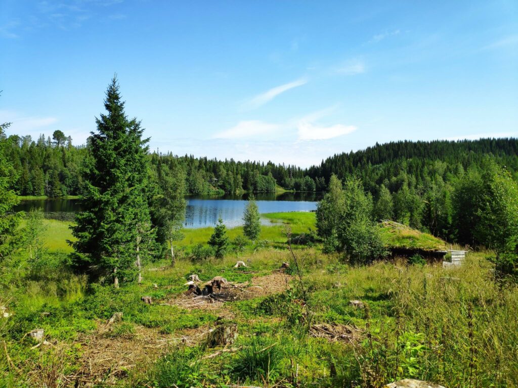
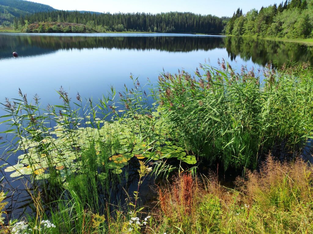
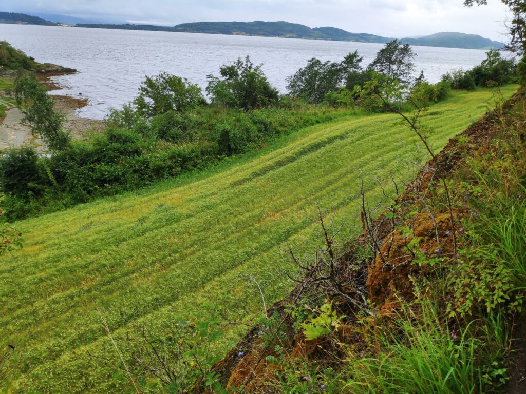
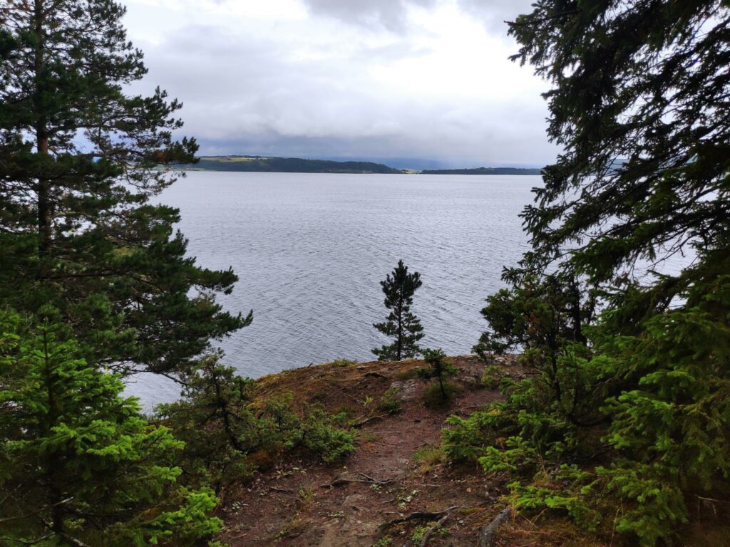
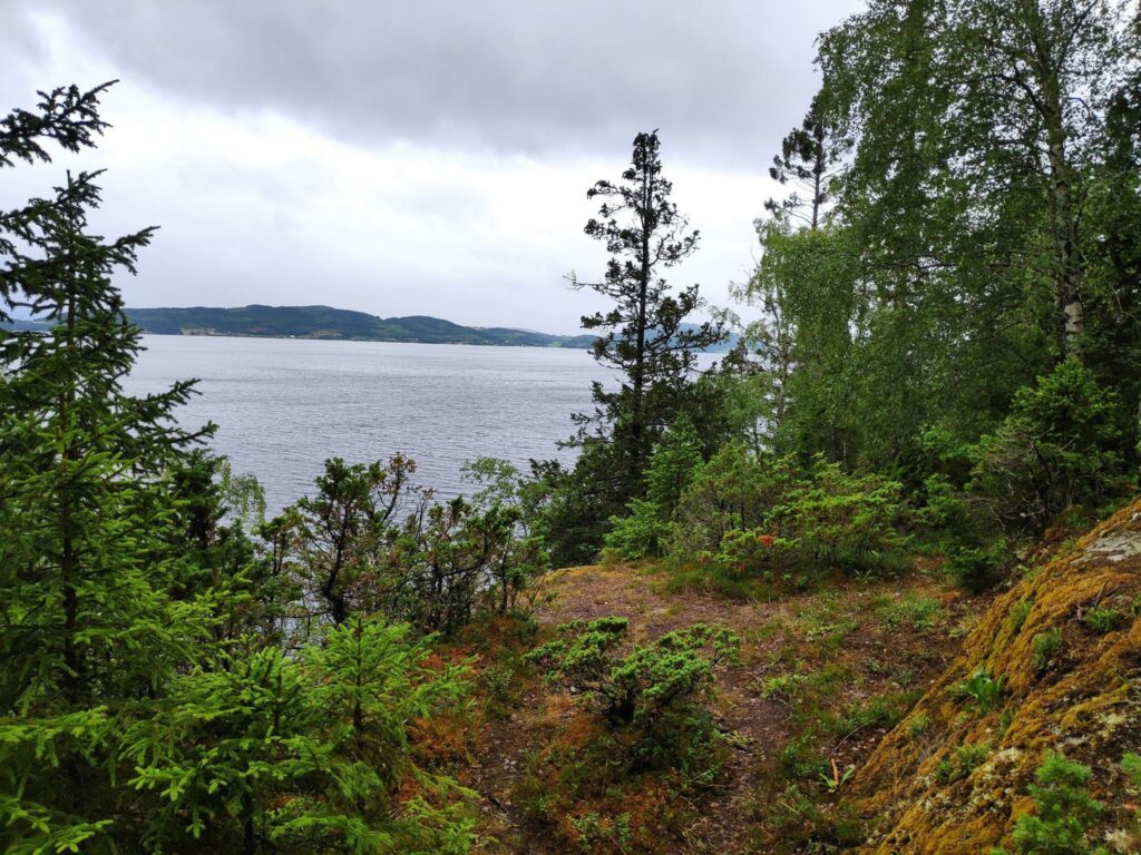
We often walk around this lake, Stubbsetertjønna, but today we just saw it from a distance and kept on going. Half of the lake is in the municipality of Inderøy (where we are standing) and the other half is in Steinkjer which is on the far side of the lake.
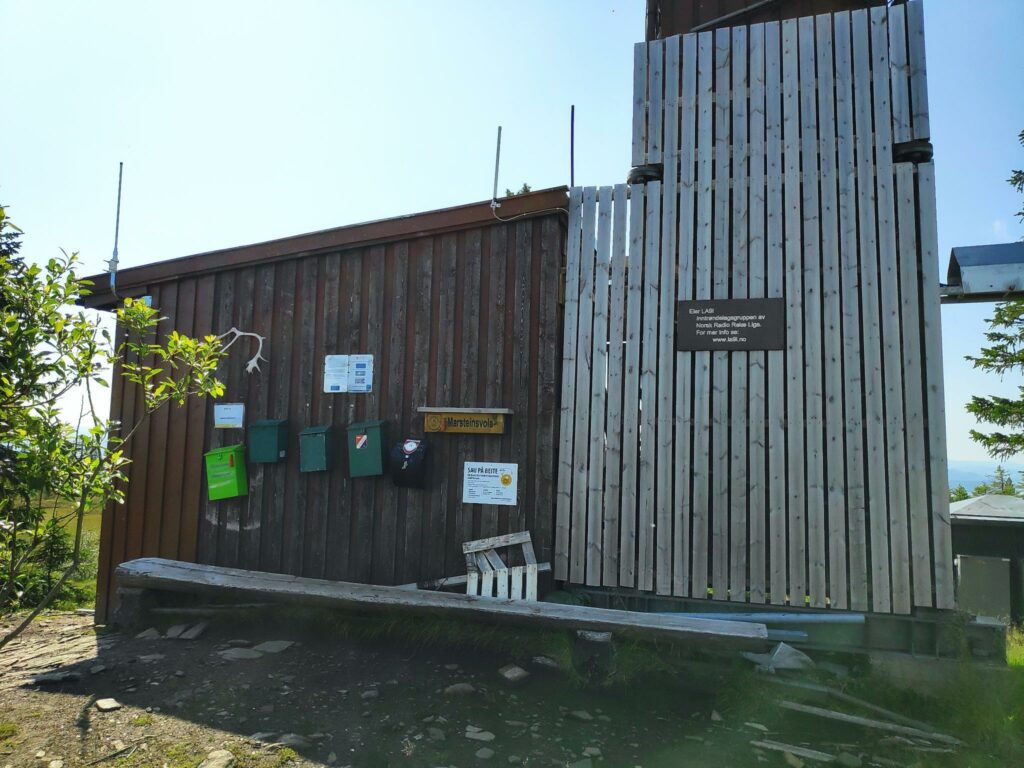
Marsteinsvola

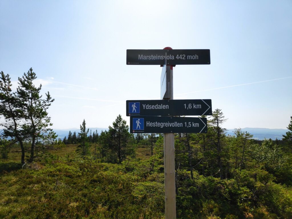
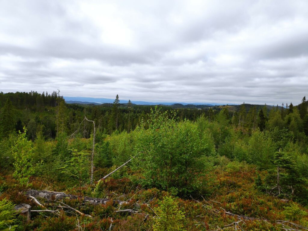
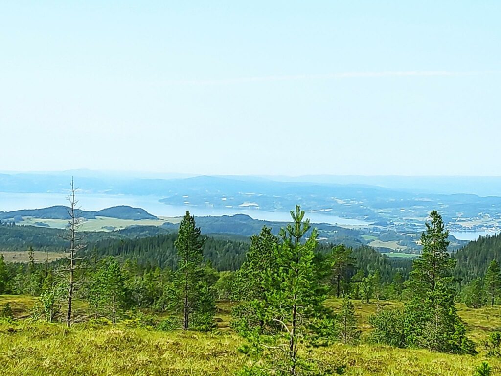
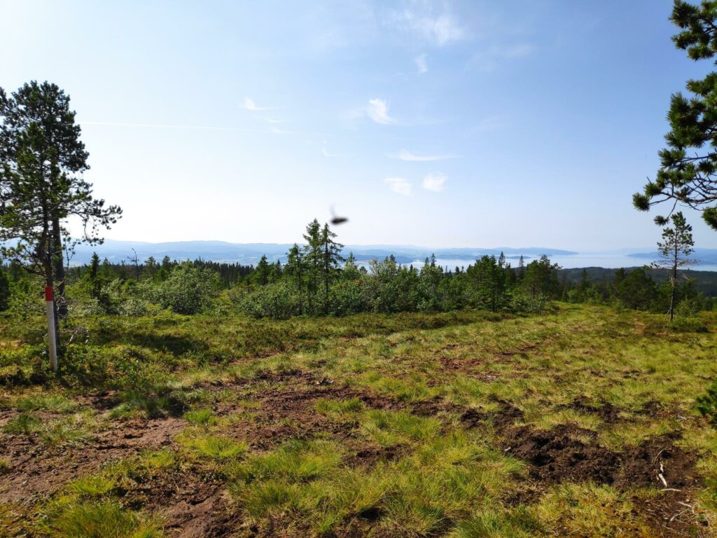
This was the reason for taking this long walk, though I find the walk a bit too long for me now and there is a lot of swampy ground to cross. The top of this hill, though we are 442 meters above sea level, is quite wide at the top. The weather was hazy, but there were few places where one was high enough above the trees to see the view very well.

Marsteinsvola is also the meeting of three municipalities, Inderøy, Verdal and Steinkjer. Both Inderøy and Verdal have a lot of marked trails in the area, both for hikers and for skiers in the winter.
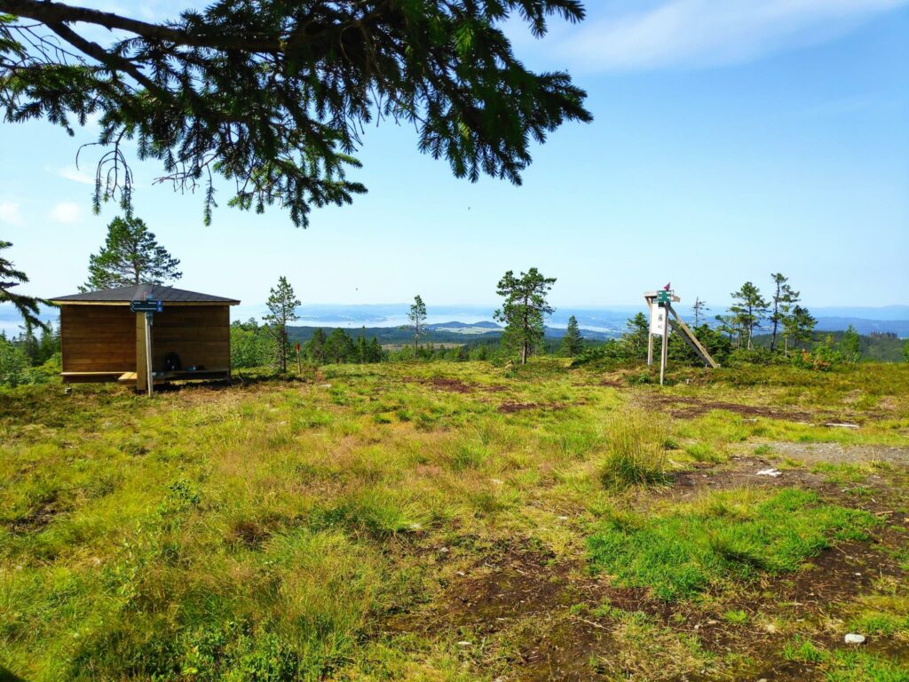
There are several small buildings at the top. The post boxes would each have a book you can write your name in, each book belonging to a different sports club.
Here you can see part of the radio mast.
The small shelter to the left was built recently and was divided into four quarters, so that four groups of people could sit on benches but be sheltered from the other groups. Unfortunately we met a lot of flies here at the top, so it was not pleasant to sit at all. I wandered around, trying to catch a bit of a breeze that would help keep the flies away from me. The sign is a map of the area so you can find your way downhill again.
Looking north-east from the top with Leksdal Lake. The south end of the lake is in Verdal and the northern end, which is seen in this picture, is in Steinkjer.
Looking towards Straumen in Inderøy, with Mosvik in the far distance.
Looking west. The gap in the distance on the right is Trondheim Fjord with Levanger on the left of the gap and Mosvik on the right of the gap.

Fløåsen

Fløåsen was a farm before 1590 that was owned by the king. In 1728 it was sold and it changed hands regularly over the next two hundred years. In 1924 it was bought by the municipality of Røra. There are two main buildings here which are owned by Røra School. In 2008, the old cabin that was here burnt down, and the present building (see the next picture) was built in 2009 by volunteers. The cabin is open for everyone to use.
Fløåsbua. This building is open for anyone to use. There is a small kitchen, sitting area and a toilet room inside.
The picnic tables outside Fløåsbua were interestingly built. The seats folded up when not in use, so they wouldn’t get wet or covered with snow. They were easy to fold down when one wanted to sit.

Though a 10 km walk is much more than we usually do, we had a nice morning to do the walk. I probably won’t do this walk again for several years. I need a reason to take someone on this strenuous walk.

Røflo Lake, Inderøy’s main water source. It was sure nice to get back to the lake and know that our car was only a few hundred meters away.

Søråsen, Røra, Inderøy

On Friday this week, my girlfriend and I went for a walk in the hills of Røra. The first goal of our walk was Finnheimen, which I have already written about (here), so this blog will be about the second section of our walk, from Finnheimen to Søråsen, which took about another 15 minutes.

Finnheimen on Leklemsvatnet is the starting point for this blog. This picture was taken on 2 May 2021, before the leaves were out on the trees.
I have been to Finnheimen many times over the years but had never taken the trail to Søråsen. Today was the day that I would explore that path.

Most summers I take one or two walks to Finnheimen as it is a nice walk, but not too long a walk. This time we started our walk at about 4 pm, so a walk later in the day. The temperature was pleasant, about 15 degrees Celsius. There was light cloud and no wind. It has been cool the last week so we were not bothered by insects either.

The trail from Finnheimen to Søråsen.

One of the things that I noticed while walking this section of the trail was how wide it was. It has obviously been a tractor road at some time in the past, but the “road” seems to end at Finnheimen. Much of what we walked between Finnheimen and Søråsen would still be accessible by tractor, but one would have to come in from the parking area at Røflo, not the parking area at Lundsaunet where we parked today.

Here’s the map of the area. We parked at the red dot, Lundaunet, walked about 2 km to Finnheimen, then about 600 meters on to Søråsen, all trails marked with red lines on the map.
At one point we came out into an open area where the threes had been logged a few years ago. This would be looking northwards, towards Steinkjer. Note the cloudy sky, which actually made it a pleasant walk.
As usual, there is always a choice of where to go. We came from Finnheimen and were going to go in the direction of Fløåsen. Blue trails are relatively easy walking, but some of the hills can be steep.
The landscape – some parts were open and swampy, other areas were heavily forested.
In most of the open areas, and especially along the trails, the grass was kept at a suitable height for walking by these summer residents. We saw several sheep, but they were fairly scattered and stayed well out of our way.
More choices. The route straight ahead leads to Søråsen. Off to the left would take you to Fløåsen.
The trail to the left seemed to be kept in good shape by the summer residents. We did not take this trail. Perhaps another time.
Søråsen.

In past centuries, farmers would put their cows up in the mountain pastures during the summer. Cows need to be milked every day, so young women would live up with the cows in the mountains. This sort of building would be what they lived in. Søråsen (which literally means the south hill) was an open meadow with a building in it. There was also an outhouse and a couple of picnic benches. There was no particular view from here except trees, mostly a spruce forest. Today the meadow would be kept open by the sheep that we had seen.

We sat at the picnic bench for a few minutes before returning the way we came.
This stump indicated the goal of our walk, but it was almost completely surrounded by stinging nettles. Whoever put up the sign did so before the stinging nettles had grown so tall.

Søråsen was an interesting place to see, but it is probably not a place I would go to regularly. I prefer to have a view out over the landscape or come to a lake.

We used about 2 hours on our walk, so one hour each way, and had only a short stop at Søråsen. The walking was easy. There were no particularly muddy or wet areas. It was good to get out for a longer walk after we have had a rainy period. It was also good to get out with someone other than those I live with.

Rostad to Vangshylla

Today’s walk started with my son driving my husband and I to the parking area at Rostad where we started our walk. The goal of our walk was to pass two check-in points (30 points each) and get some fresh air and exercise for about an hour and a half. We usually go for our long walks in the morning, but today it poured with rain until about 3 pm. By the time we left home at 4 pm it had stopped raining. In open places there was a bit of wind. We wore hiking boots and rain jackets. It was often muddy on the paths and we had to walk carefully so that we didn’t slip. But it was good to get out for a long walk. It has been a while since the last time. Today’s temperature was about 12 degrees Celsius so for me a very pleasant temperature for walking.

The first part of our walk, from Rostad to Frøsen has been written about in a previous blog (see here). Though the previous time we took this walk, it was a warm, sunny evening, today was an overcast, gray day. I am just going to write about the section of the walk from Frøsen to Bjømnbråtte.

Frøsen is a bridge across a stream, which even after a couple of days of heavy rain and no water in it. This picture was taken on the previous walk at the beginning of June. Today the wooden boards were slippery as they were wet.
This is what our weather was like today. The view from the path looking out to the fjord with Ytterøy on the left and Mosvik to the right and behind, both in the clouds. We didn’t experience any rain, but a lot of the walking we did was under the trees.
This pathway we are on has information signs about historical events of places. This sign shows where Maria Mortensdatter (born in 1814) lived with her sister, Siri, after Maria’s son went to America. Maria worked the land and Siri went fishing. The house no longer exists.

The trail from Rostad to Frøsen and onwards to Sleipvika is under the trees. At Sleipvika we came out to a road with several houses and farms.

At Sleipvika, I saw this typical older house from this area with two entrances into the house. One entrance would lead into an entryway and the living room and would be used for guests to enter the house. The other entrance would be used as an area to take off muddy boots and clothing before going into the kitchen.
I remember seeing this painted stone a year ago. The pandemic had started and with many activities in Norway shut down, the slogan “Alt blir bra” (meaning: all will be well) was commonly seen everywhere. It looks like this stone has been repainted newly.
The sky was menacing but the rain seemed to be in the distance. This field of grain was turning a beautiful yellow and cheered up the landscape as we walked by.
On the other side of this yellow field was a cottage and access to it seemed to be this path cut through the field of grain. In the foreground is the gravel road we were walking along.
We are halfway on our 5 km walk.
We’ve walked around the farms and head across the stream and we have a steep hill to climb.
We’ve started to climb. We saw a deer making its way along the edge of the field, but he must have heard our voices and suddenly he dashed away, heading across the sands of the beach you see in this picture.
We have headed into the trees again, but the climb is steep and narrow.
As it has rained for two days, the trail was muddy in places. I was very glad to have a railing here as the drop goes straight down probably at least 50 meters.
Eventually we got to the top and here there was a picnic bench to sit on and catch our breath from the climb. The view is looking over Trondheim Fjord to Ytterøy.
Bjønndalen is a narrow ravine that goes from the farms at Nes and Rotvoll, down to the sea. There wasn’t much water in the stream at this time of year.
This tree, I think an elm, has fallen down. In this part of the forest, with steep slopes, the ground can get washed away under the trees and eventually they fall. It also looked like some humans had come along and cut it up, possibly to get it off the trail. This was the first time I had been this way this summer, so I don’t know how recent it was.
Trees have long lives, but they don’t last forever.
One more very steep and muddy section to get to Bjønnbråtte, a place which we go to at least once a week.
Bjønn = bear. There is a story about the last bear in the area. Perhaps he was chased to here and scared over the cliff.
The view from Bjønnbråtte.

The walk from Bjønnbråtte to our house is about a 20 minute walk and is a walk we do quite regularly. It is partly on road and partly in the woods and mostly away from traffic. Once we had gotten to Bjønnbråtte today, I felt that we were “almost” home.

We were lucky with the weather and timed our walk for the correct time of day. I enjoyed our walk a lot. We haven’t been out for longer walks much as we have had quite a lot of warm weather and the last few times we have been out there have been a lot of flying insects, which I don’t like. Today was much cooler, and I didn’t notice any flies at all while we were walking.

It also made a change doing the walk just the one way. It is simpler to be driven to a place and then walk home, than to arrange to be picked up when one is tired. We also wanted to do the steep climbs going up them, as they were as slippery as expected. I always prefer to do very steep climbs going up, rather than down, if I can choose.

I hope you enjoy your next walk.