
On Wednesday, the 13th of May, my friend and I decided to take the walk up to the highest hill near where I live. I live at approximately 20 meters above sea level and the hilltop is 268 meters above sea level, so for me the walk includes an increase of over 240 meters in elevation. Some of the ascents are quite steep.
It was a cool morning and there had been a dusting of snow on the ground when I got up. However, the precipitation had been coming as relatively short snow flurries the last couple of days, so we decided to do the walk anyway. Wednesday is our regular day for walking together.
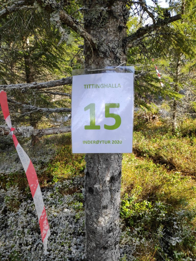
As an Inderøy Walk most people would park much farther up the hill than my friend did and therefore have less hill to climb. However she decided to park on a lay-by at the corner of the road down to Vangshylla.
I have been doing this walk for 30 years and it doesn’t really get any easier over the years. One memory is the year that my husband and I were going to take a planned hike in the Rocky Mountains in British Columbia, Canada to see the Burgess Shale, an all-day hike, and we took the hike up Tittinghalla as often as we could to give ourselves the practice of climbing a mountain.
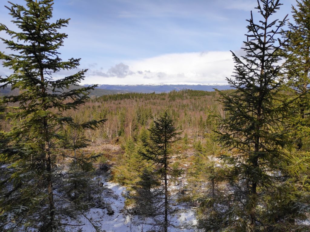
The geological definition of a mountain is a landform that rises at least 300 meters from the surrounding terrain. Tittinghalla doesn’t reach up over 300 meters above sea level, but if you include the depth of Skarnsund, which can be over 100 meters deep, Tittinghalla would classify as a mountain. There is also a definite point where one cannot go higher, though it is covered in trees and therefore not so easy to get a good view of the surrounding landscape.
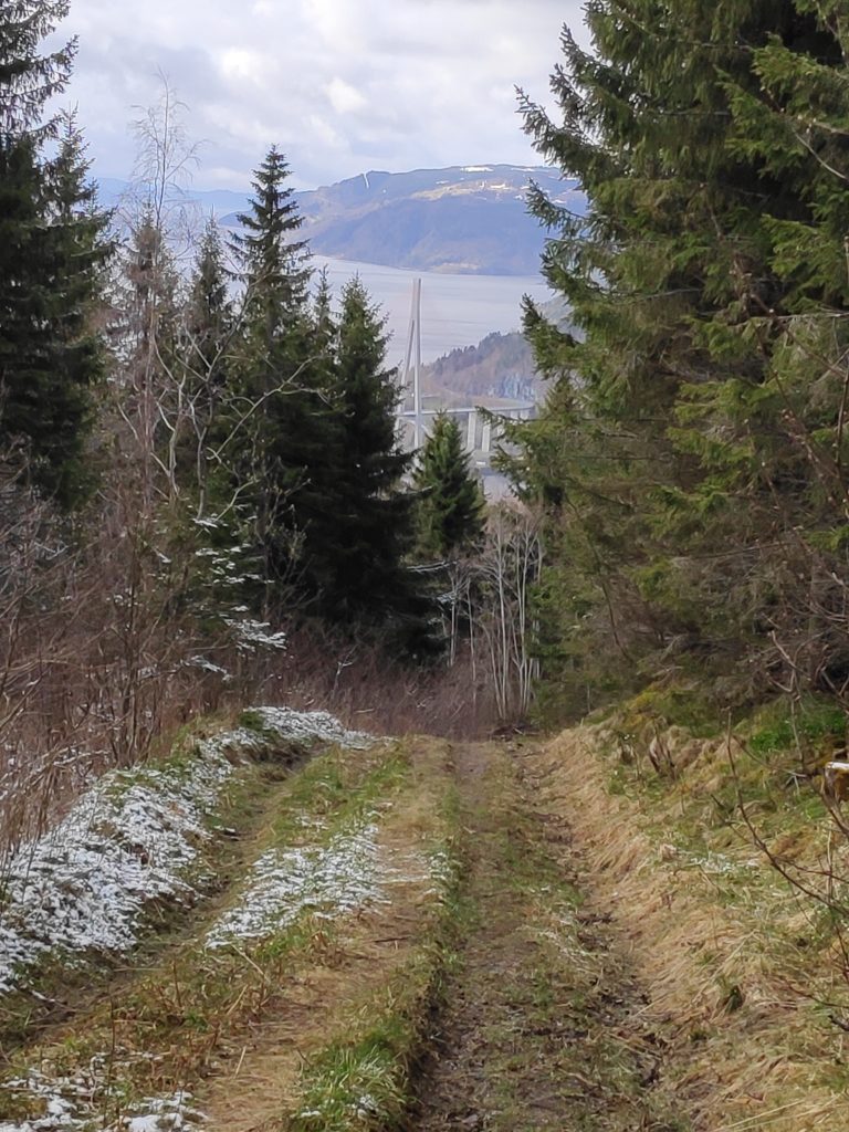
So, back to Wednesday, and our walk. I met my friend on the 755 road at the turnoff to Vangshylla and we climbed up Tittinghalla from there. We started at about 10 am. The picture below shows the trail after the first snow flurry has passed us. We took refuge under some trees during the worst of the snow flurry. It was good to have a rest from the relatively steep climb. It’s actually quite a bit steeper than it actually looks in the photo.
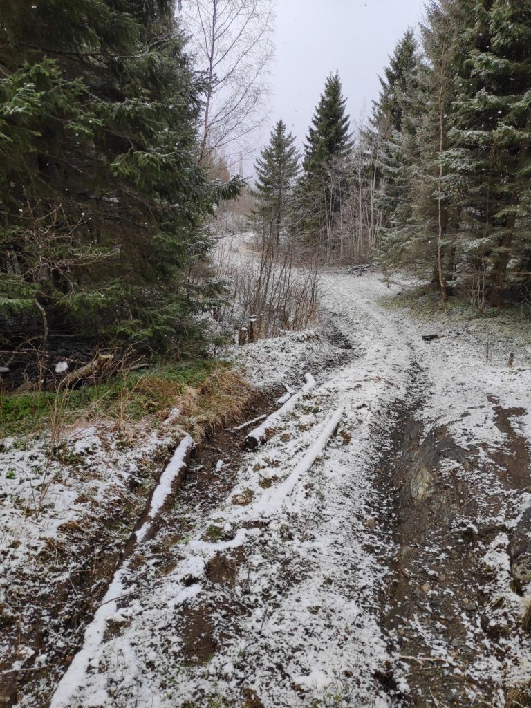
This part of the trail has been a tractor road for taking out lumber from the forest. There are deep ruts from the continued use of a tractor, and the climb can be quite steep in parts.
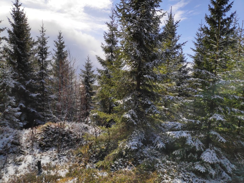
By the time we got to the summit of Tittinghalla, the sun was shining again.
We used about one and a half hours from my friend’s car until we were back to her car. I still had another 10 minutes walk home. We were away from car traffic for most of the walk and even though we were talking most of the time, there is only the sounds of the birds when out in nature on a walk like this. You need to be in relatively good shape to take this climb, but I always enjoy the walk through the woods. Take pauses as you need to on the steep bits.