It is now October and winter weather is around the corner. My friend and I had looked up at the tall mast last week and agreed to walk up to it, if the weather permitted. The weather wasn’t that great, but we did the walk anyway.
I’ve been trying to find information about the mast but the information I have found is a bit limited. The building is located at 401 meters above sea level. The mast is a transmitter for several Norwegian television and radio stations and was built in 1973. (https://en.wikipedia.org/wiki/Skavlen_Transmitter )
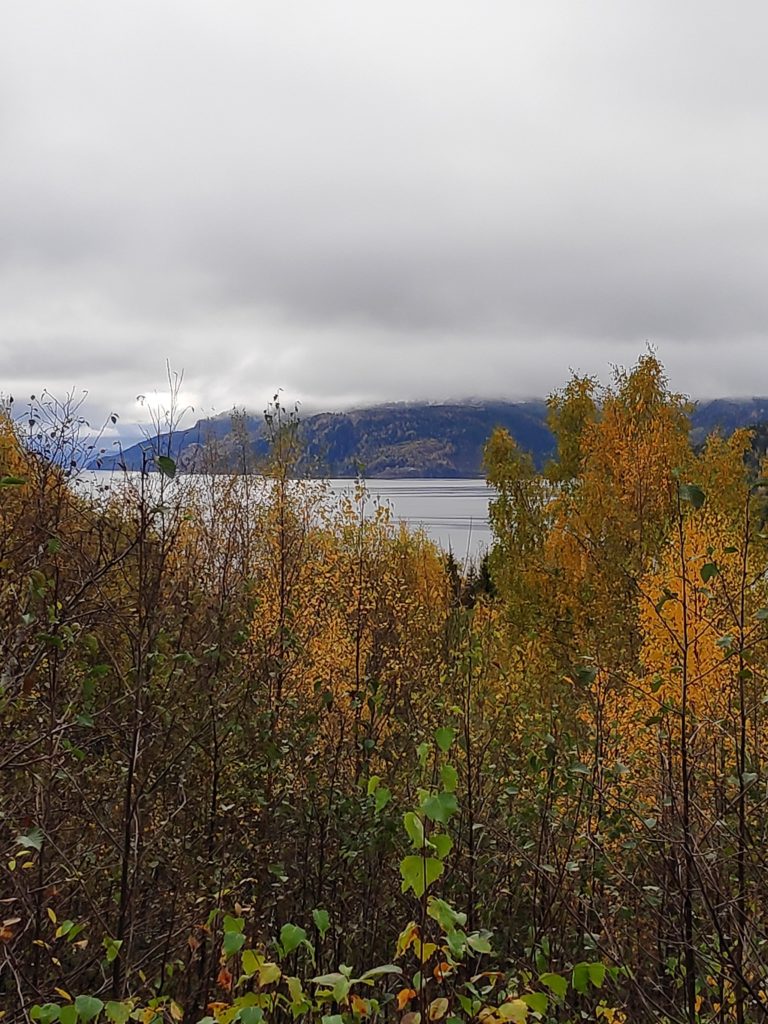
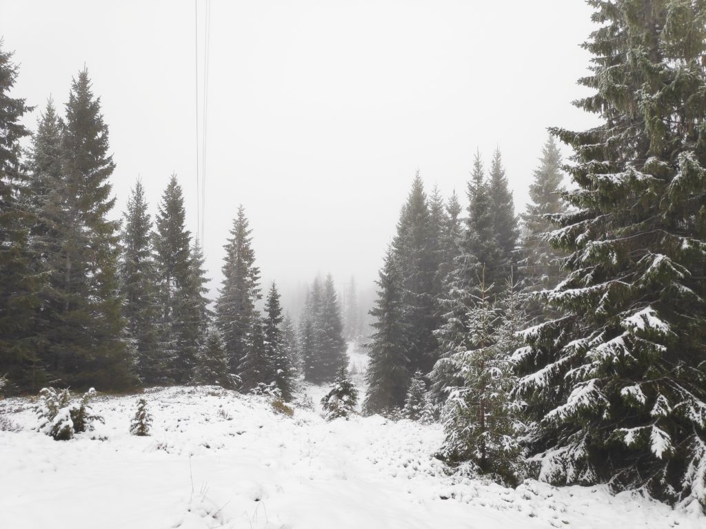
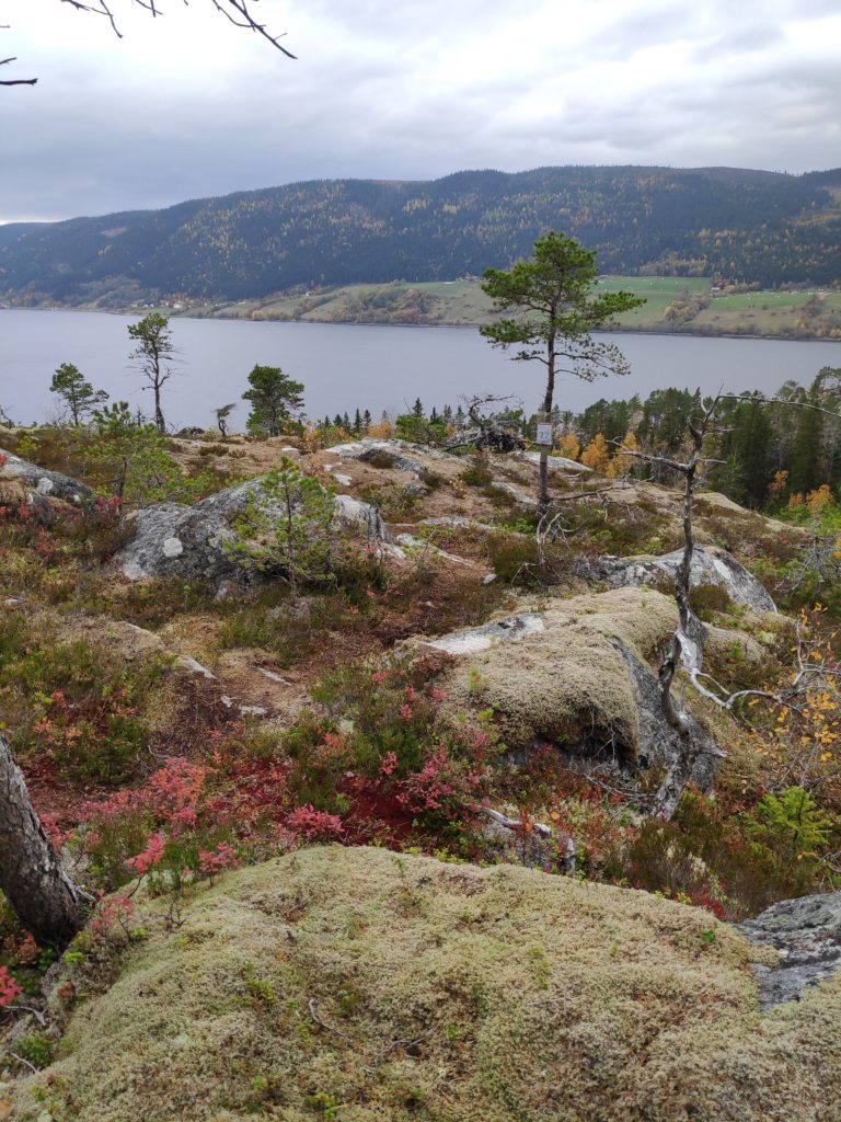
The hill in the distance, covered in cloud, is where the mast should be visible on a clear day.
We drove along Fv 192, towards Saltvikhavn in Mosvik, drove about 1.5 km past the turn to Salvikhavn and found a parking spot on the side of the road. After all, we wanted the uphill walk for the exercise. We parked about 2 km from the mast at an elevation of about 200 meters above sea level. The temperature was about 3 degrees Celsius and there had been snow at higher elevations in the night. There was some slush on the road, much of which is a gravel road. Thankfully my friend had already changed to winter tires on her car.
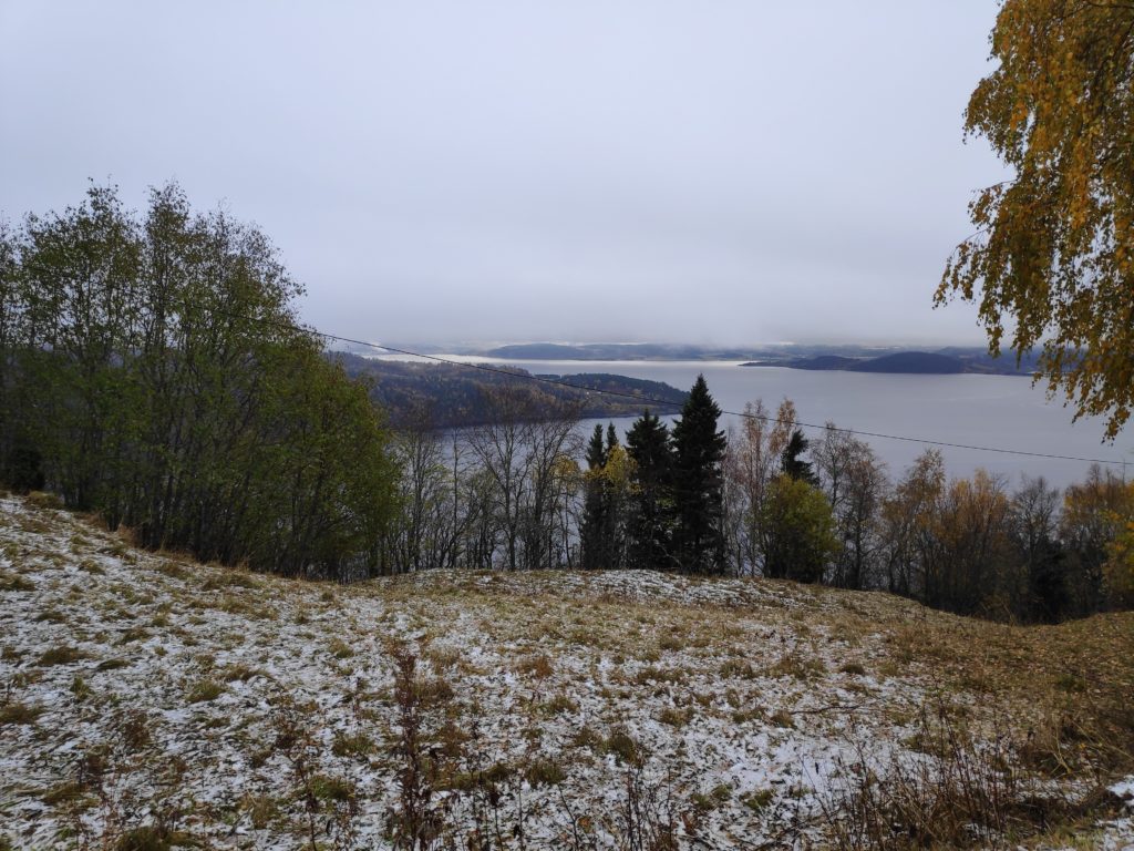
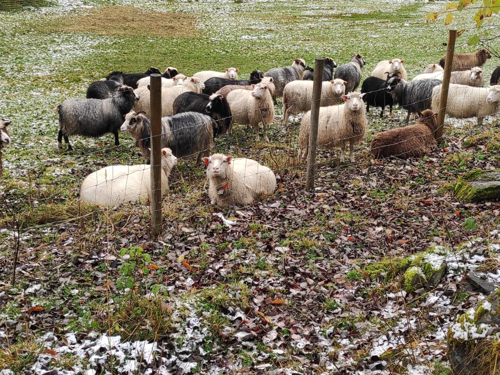
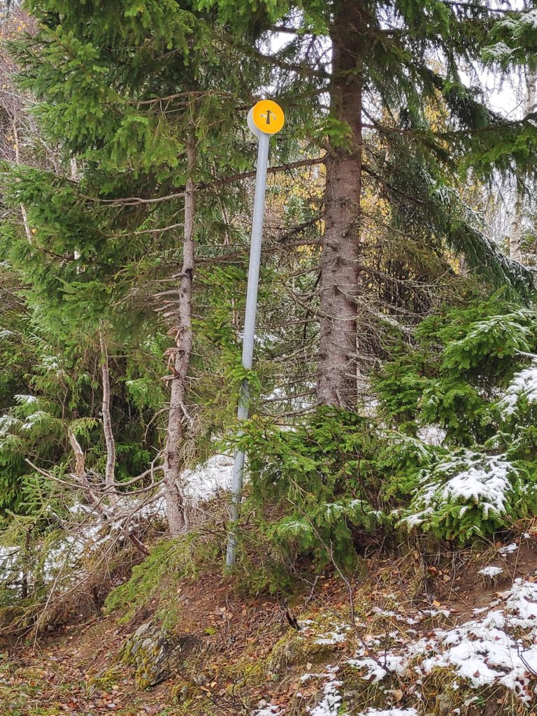
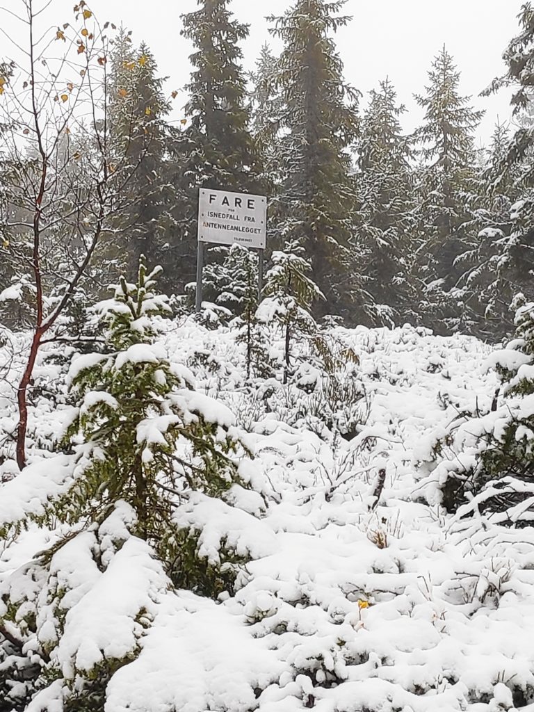
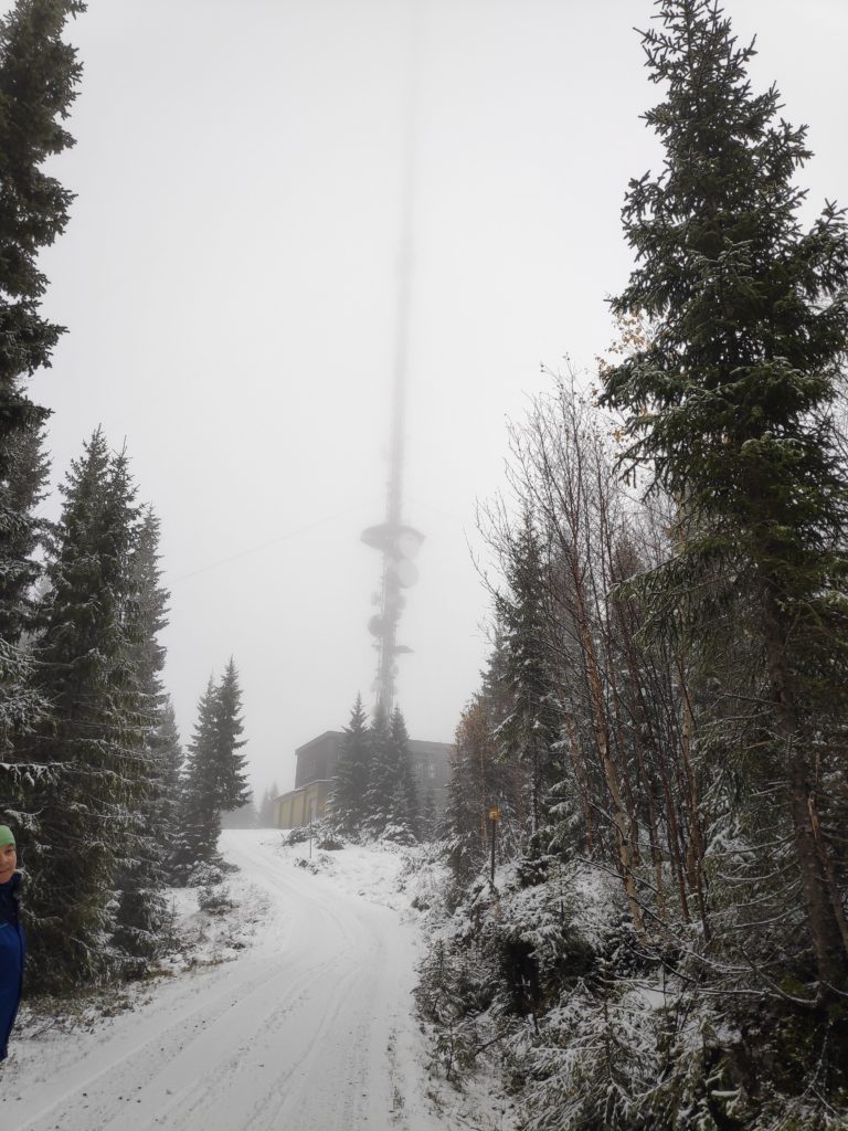
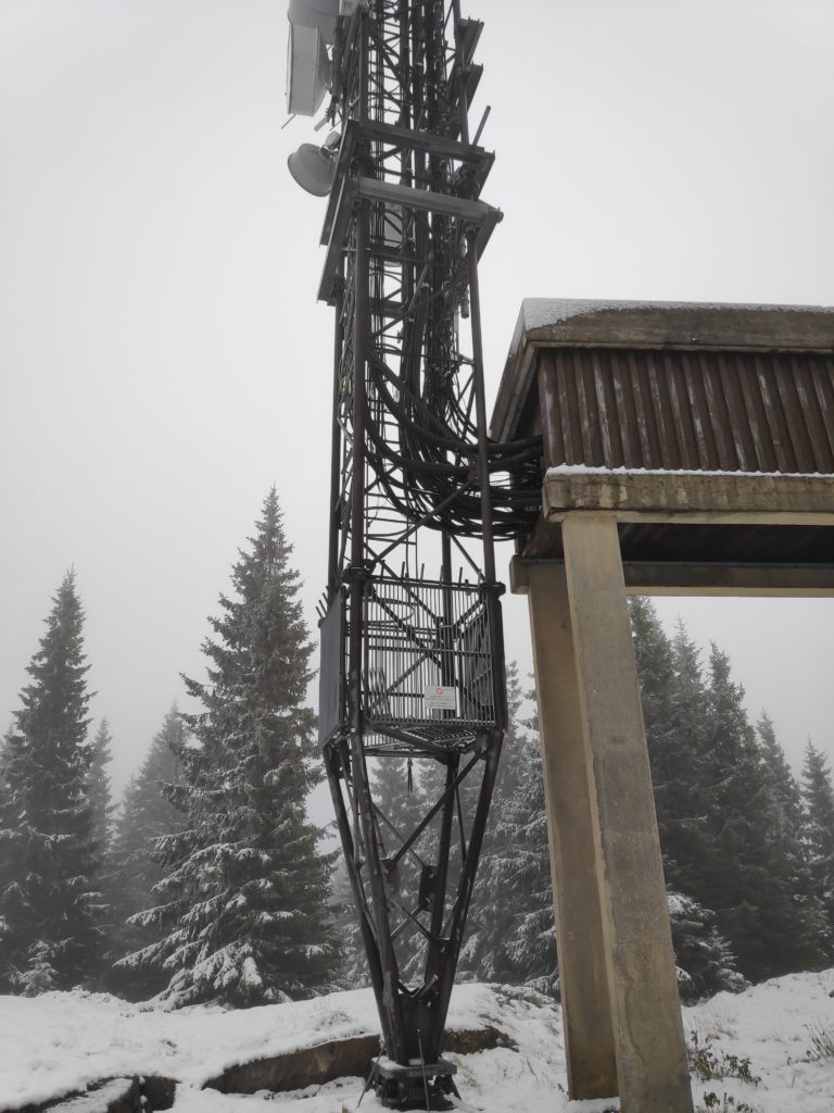
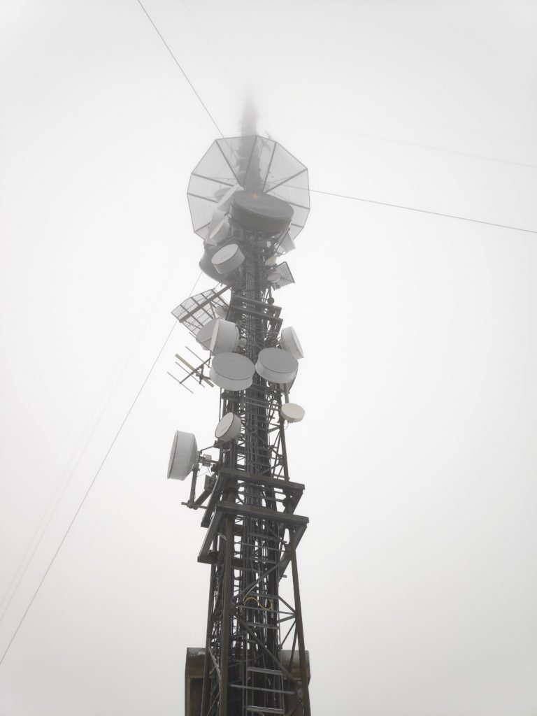
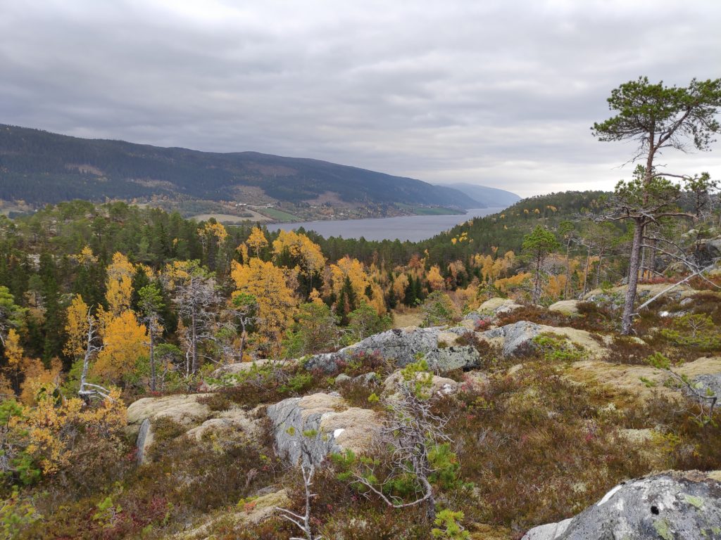
As we started our walk up the hill it was obvious that the views today would be very limited. Cloud cover was low, but there was no precipitation while we were walking. The closest spit of land is Ytterøy, an island. In the distance is Levanger.The first part of the road leads around a farm. As we walked uphill, the sheep were being moved into a different field. They all seem to have their winter coats on and they had on different colours. The darker ones had horns.As we walked uphill, there was more and more snow. It was a bit slippery under foot. But we weren’t the first ones up the hill today. We saw one vehicle drive up and there were tracks of several vehicles in the new snow.I asked my friend what she thought the purpose of the sign was and her comment was that when there is a large amount of snow in the winter, the road needs to be marked. They may not plough the road all winter, but it would have to be usable by snow scooter. There were lots of other trails off the road, often with tracks from an ATV. “Danger – ice falls from antenna” – we must be getting nearer our goal. Notice how much snow there is now. Height above sea level makes a big difference. At lower elevations the precipitation would be rain. We have now climbed about 200 meters in elevation.Finally, the goal of our walk, though the top of the mast disappeared into the cloud cover. I was surprised at how large a building was connected to the mast.There were three vehicles outside the building, doors were open and people were obviously at work. Here is where the cables come out of the building and head up into the mast.There was certainly a lot of different equipment on the mast and I couldn’t see all the way to the top because of the cloud cover.I’m not sure if the view would be much more interesting in clear weather. Though one sees the mast in clear weather from afar, standing on the ground at the bottom of it, it looks like there are a lot of trees around it.
Though I enjoyed the walk, I would definitely recommend doing the walk when the weather is clearer. I plan to do the walk again next year, in the summer months of the year. The walk was a little over 2 km each way and we used a little over an hour.
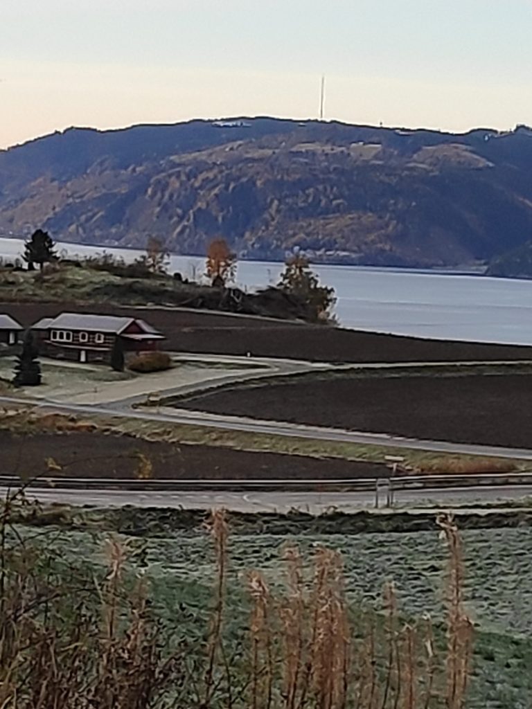
A few days later I was able to take this photo of the mast, taken from the other side of Skarnsund. Though it shows up well for the naked eye, I had problems getting the mast to show up in a picture, even when I zoomed in a lot.
I have zoomed in a lot to take this picture, which means it became very grainy.
Today was a pleasant autumn day, with no wind or rain. I went for a walk with a friend. We meet most Wednesdays and enjoy walks in various parts of Inderøy.
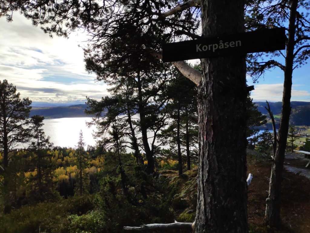
She parked her car near the school in Mosvik and we walked around the farm called Stor-Grande and were soon in the woods. Though we started off heading towards one particular check-in place, we ended up changing our minds and going to Korpåsen which has a beautiful view. We used about an hour and a half on today’s walk.
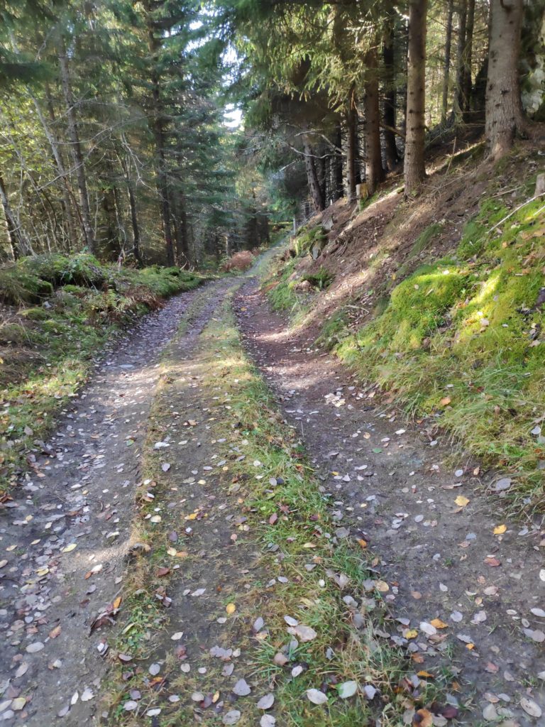
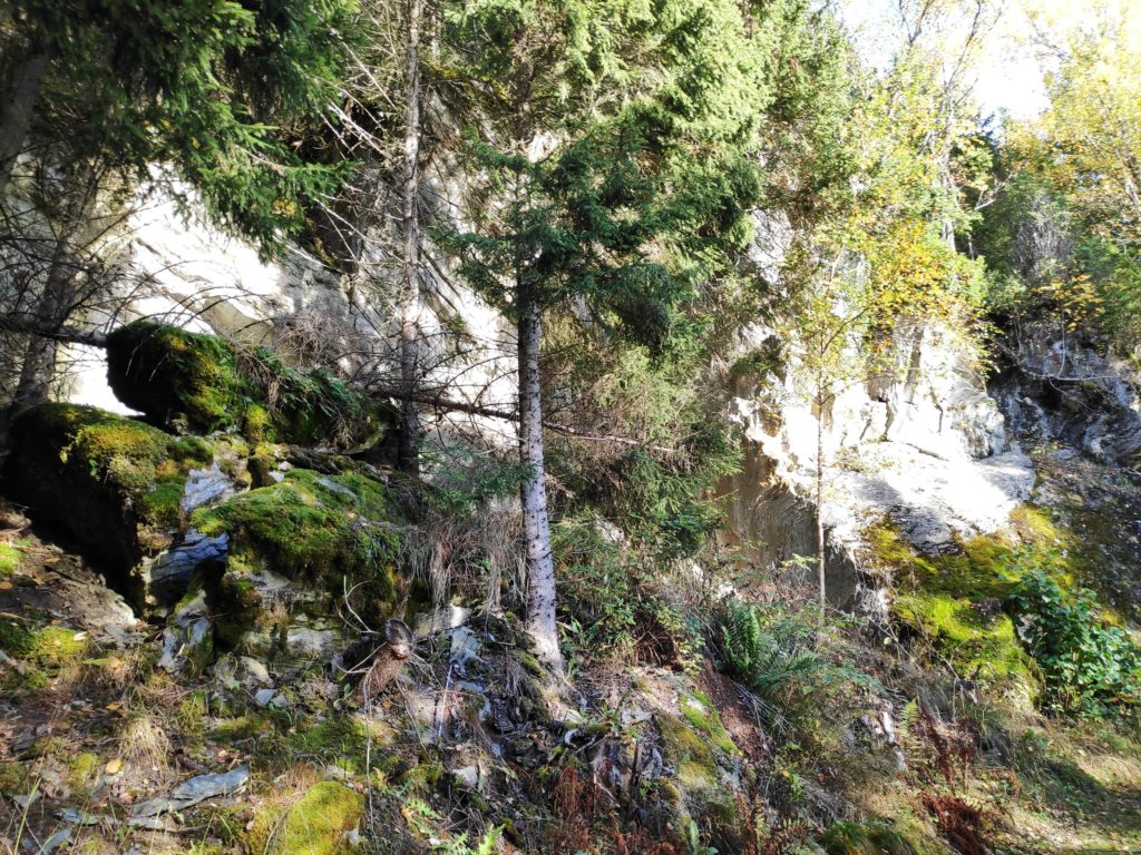
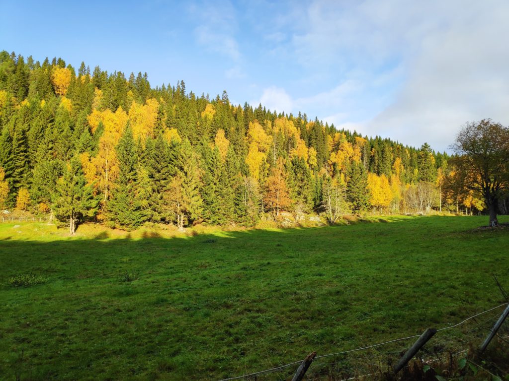
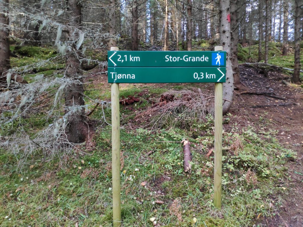
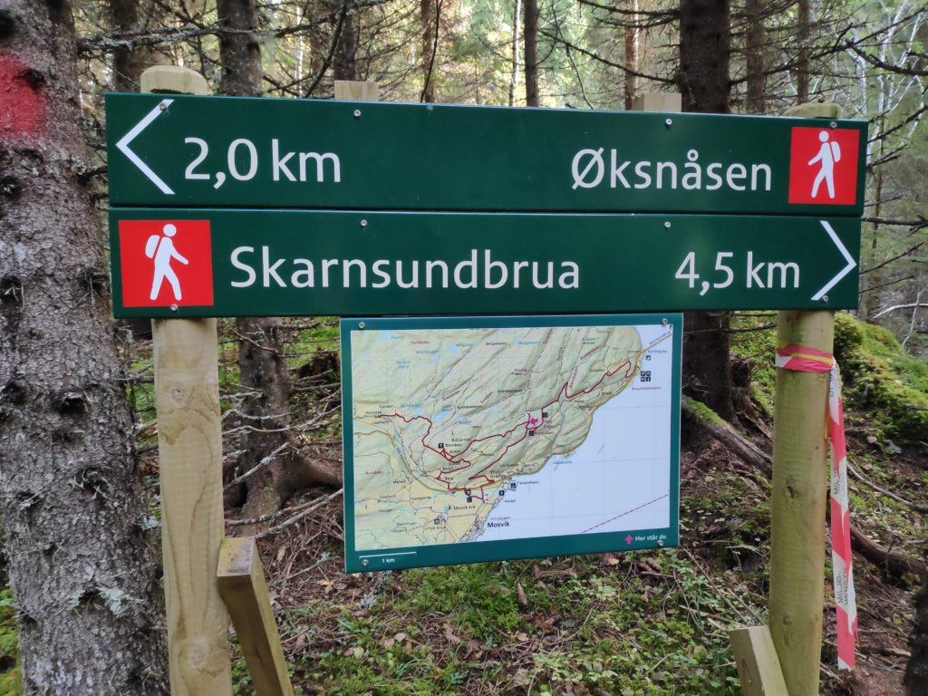
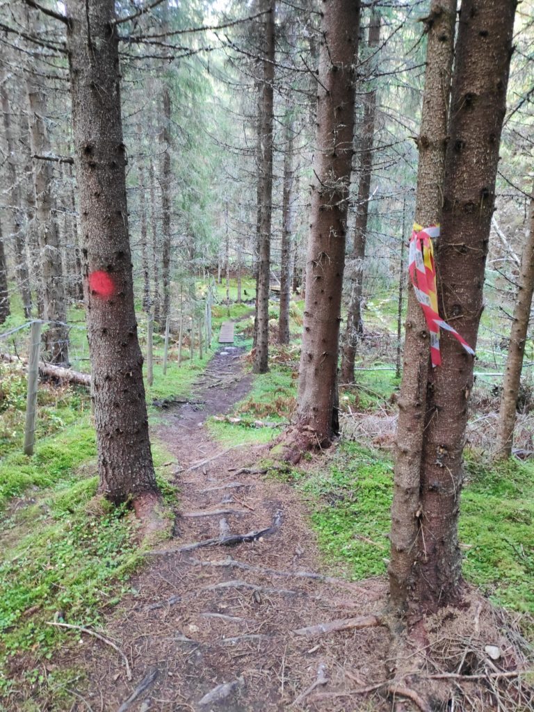
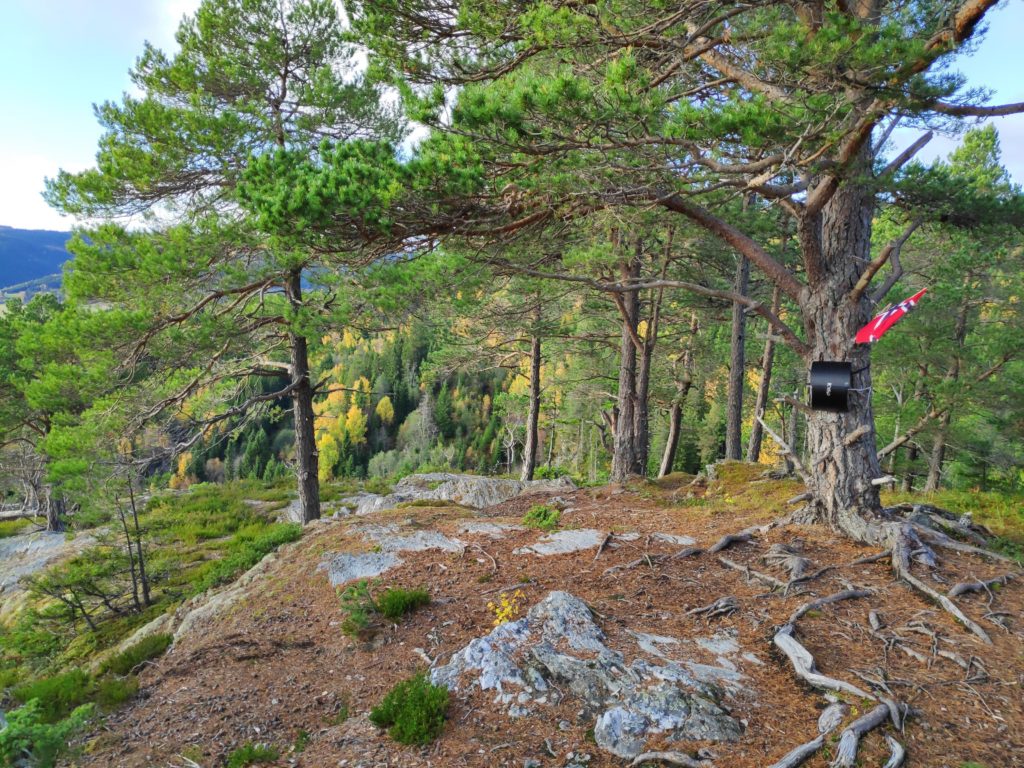
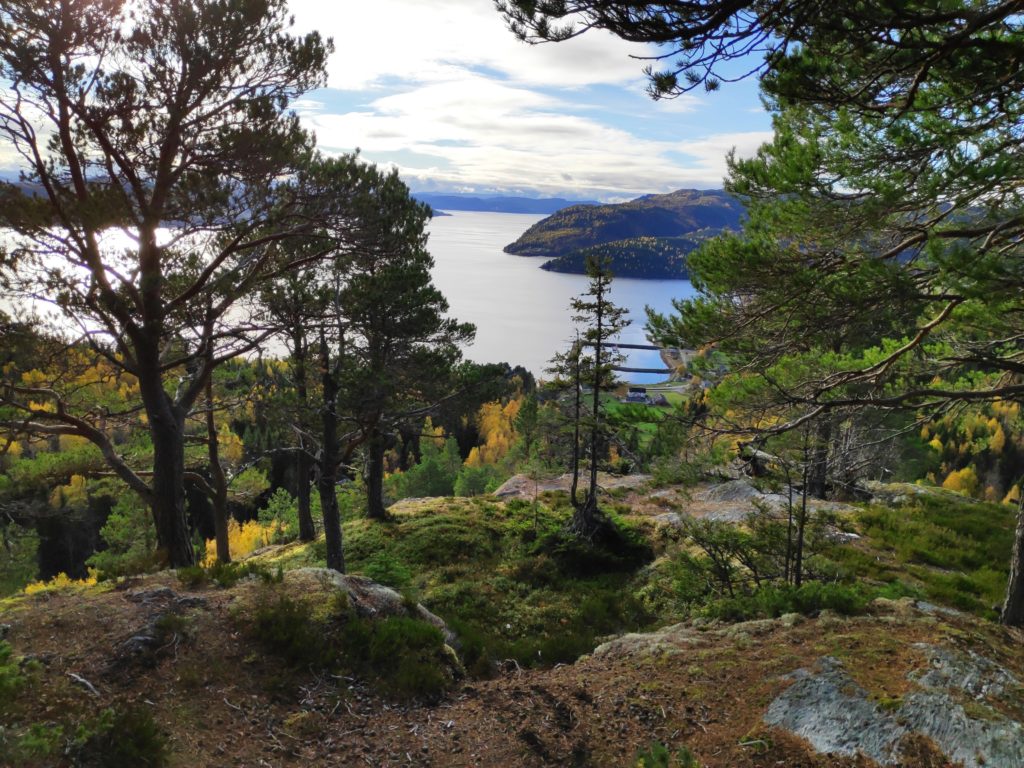
A lot of the walk was along a tractor road. It was steady uphill, but not steep.Though the tractor road was easy to walk along, the terrain went up very steeply and down very steeply on either side of the road. This wasn’t an area to walk off the road.The tractor road was in good condition and obviously used. We came to an open field where the sun was shining on the trees turning yellow.We had come from Stor-Grande, a blue trail, meaning that it was easy walking. So far we had walked 2.1 km. To the right in the picture one can see the trail that goes towards Øksnåsen.In the middle of the woods we came to this sign with a map of the area. We took the trail towards Skarnsundbrua. Now we were on a more difficult walk.Now the trail became narrower and slightly more challenging, with roots in the path and in places large rocks to climb up. Here you can also see a small wooden bridge across a stream. Note the red and white streamer on the tree on the right which is the modern method of marking trails. On the tree to the left is a round patch of red paint which is the older method of marking trails in the woods.Somebody has made visitors welcome by putting up a sign telling the visitor what the name of the place is. From here there is a view over Trondheim Fjord and the center of Mosvik.There was even a flag flying today. The box on the tree has a book one can write one’s name in.The view looking westwards towards Trondheim.The view looking eastwards towards Verdal.
Today the temperature was about 9 degrees Celsius, so we didn’t sit long at the top. There was just a bit of a breeze and after climbing uphill we cooled down quite quickly. Soon we were walking again and heading down the hill to the car. It was a very pleasant outing with a good friend. This is a recommended walk, with many variations if one wanted to take an even longer walk. See the map in the picture above for suggestions on a round trip in the area. We walked back down the hill the same way we had gone up.
I enjoyed today’s walk in the October weather. There was a bit of a wind, the leaves are turning yellow, gold and red and being blown in the wind. It was cloudy, so not so very bright, but no rain either. Today’s walk took about one hour. My two walking companions today were my husband and my son.
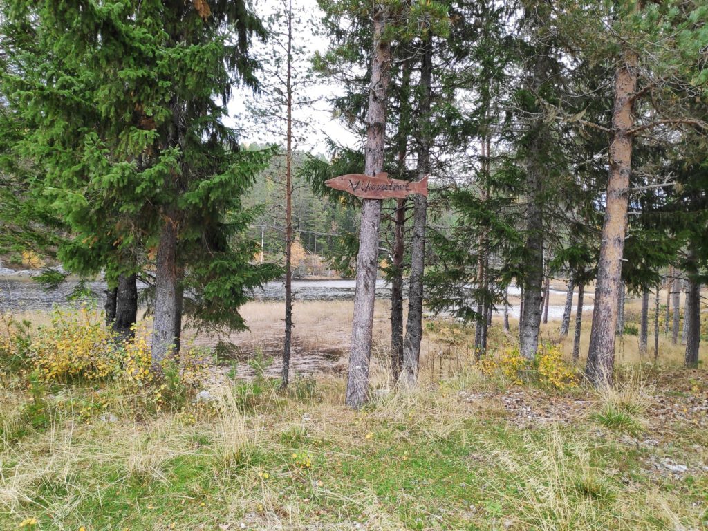
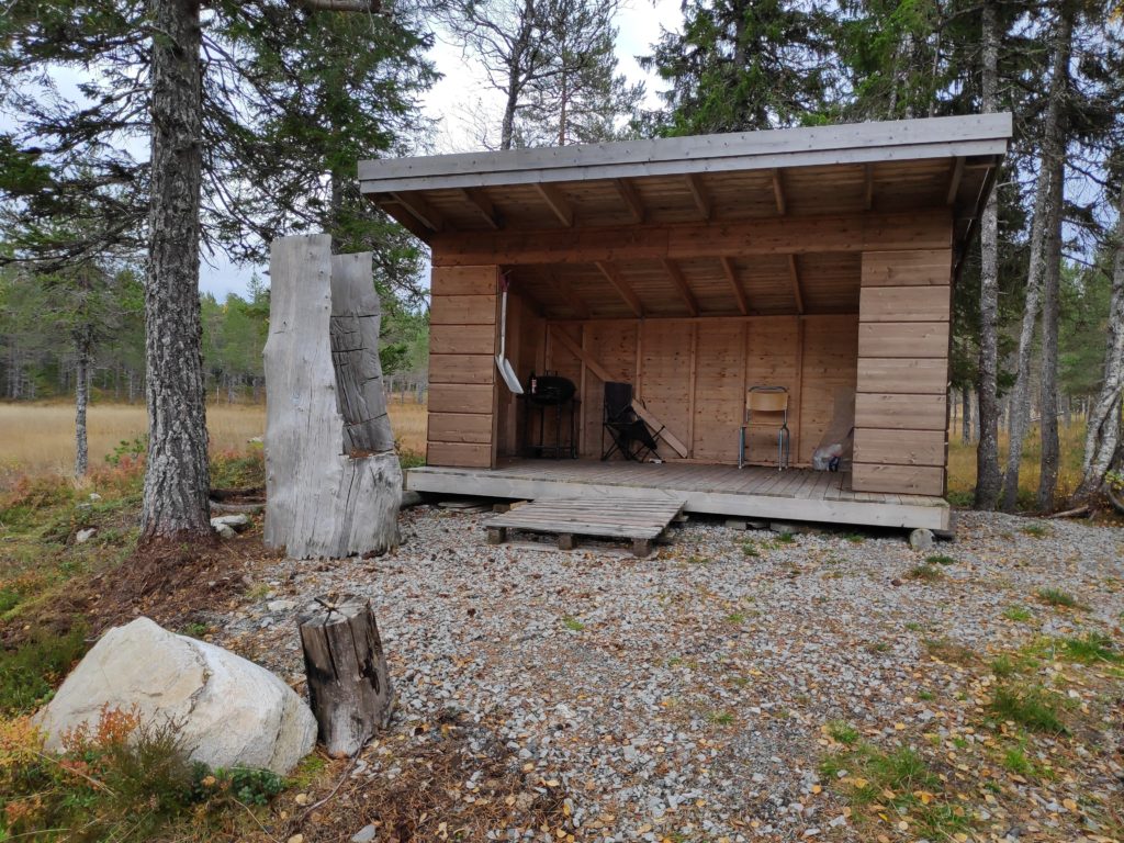
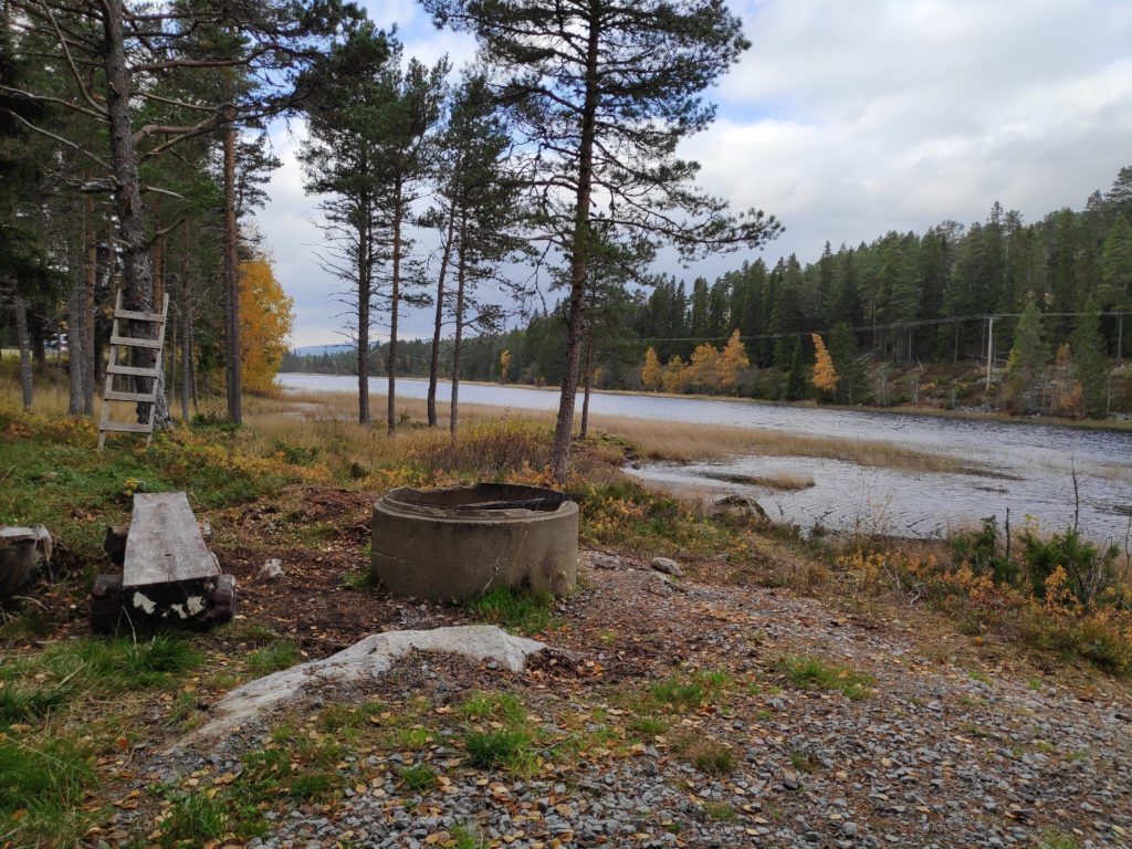
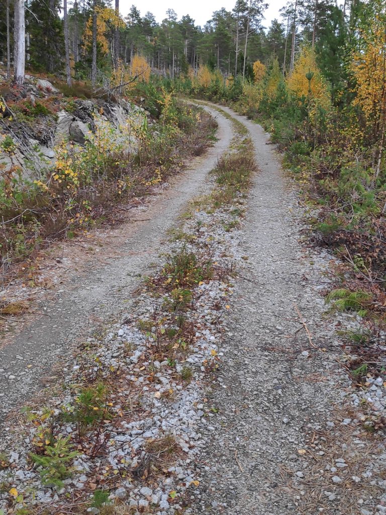
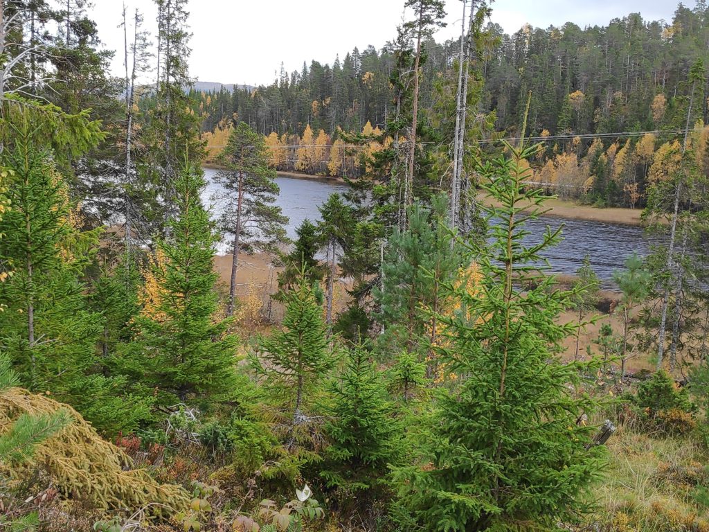
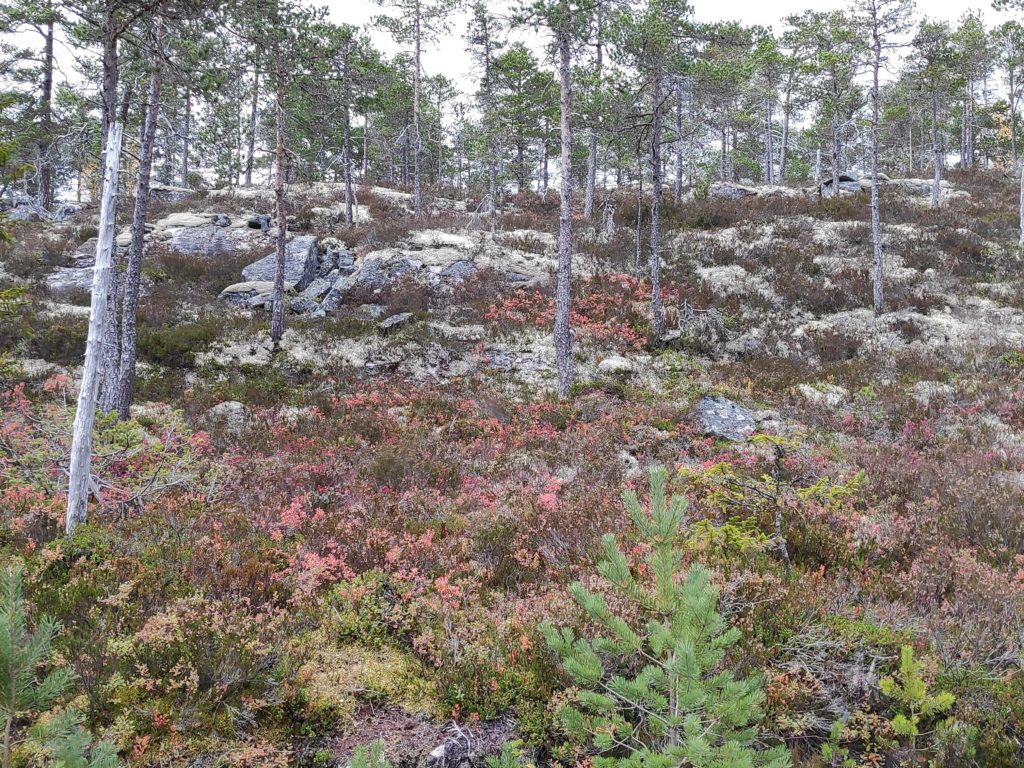
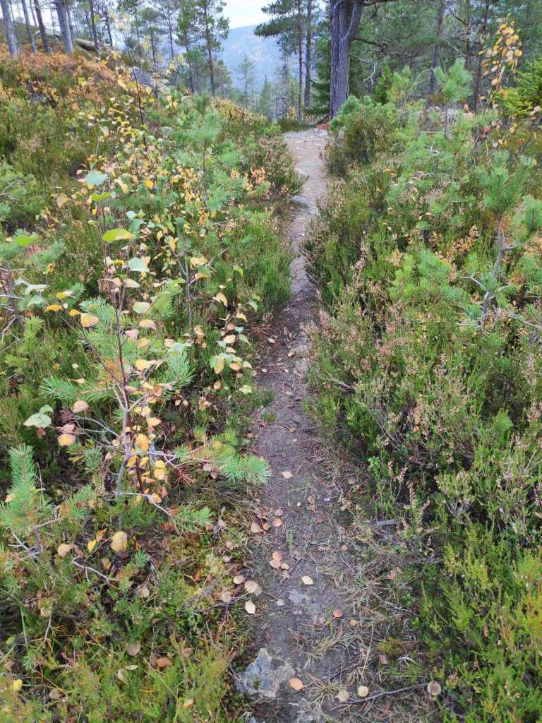
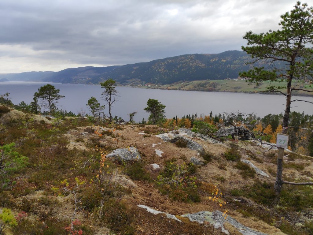
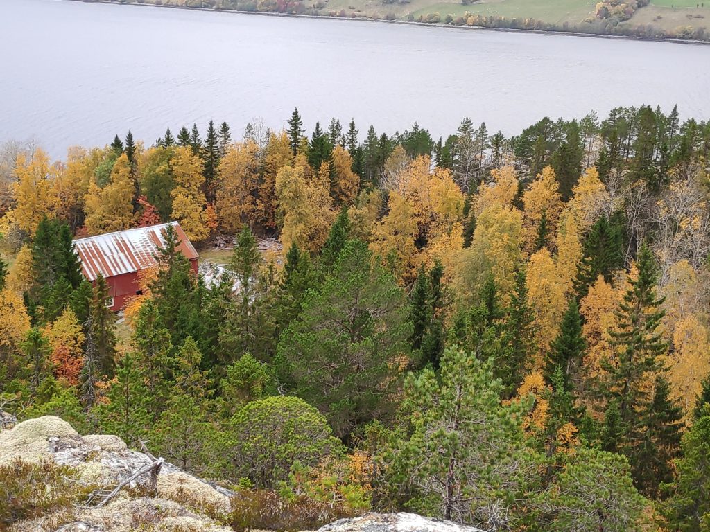
The start of the walk is at Vikavatnet where there is ample parking for cars.At the parking area there is also a small open hut for seeking shelter from the wind and the rain. Inside was a grill and outside another grill area.View of Vikavatnet from the picnic area. We then walked to the far end of the lake and up the hill on the other side.Most of the walk is on a gravel surface and wide enough for three people to walk comfortably. This walk is also advertised as suitable for wheelchairs.The road climbs gently up on the north side of the lake. Most of the deciduous trees have started to change colour. The dark green trees will be mostly pine or spruce.The soil here seems to be very poor, as it was mostly moss and lichens and the few trees were pine. Blueberry and similar low plants were turning red.Eventually we were on a slightly narrower path with muddy bits. We were able to check in to the walk on the app at the end of the road, in consideration for wheelchair users. This trail would eventually go down to an uninhabited farm.The goal of the walk, post 27, is this outcrop of rock facing onto Verrasundet, here looking westwards toward Trongsundet. As can be seen in the picture, the morning was overcast but the temperature was about 14 degrees Celsius.Here is where there has been a farm in the past and the trail would continue on down to it. There appear to be some fields that are still in use. I am standing on a steep cliff.Looking eastwards along Verrasundet, towards Follafoss.We are on the wrong side, i.e. the south side of the fjord, the north side of the slope, for agriculture. In the background, one can see the row of farms on the other side of the fjord, There the farms would receive adequate sunshine for agriculture. This is very typical of Norwegian fjords that run east to west.
This walk is suitable for anyone. One could park closer to the gravel road than we did, but there were few cars on the asphalted road along the lake. There were no steep climbs and few muddy areas.