The fjords of Norway are tidal water. The tides go in and out twice a day with approximately six to six and a half hours between each turning point. For example, the calculations for Vangshylla in Norway for the 13th of February 2020 are high tide at 2:23 and 14:38 and low tide at 8:21 and 21:04. Tomorrow the tides will be 45-50 minutes later.
Most of my life has been lived in cities on tidal water, except for a few years as a young adult in my 20s when I lived in cities on a river. The daily flow of water in tidal areas creates challenges for life in the seawater, but also brings in nutrients for life in the seabed and washes away “used” water.
For thirty years I drove to work passing over a bridge with a very strong current (“Oh, the tide is going out!”) and two bays that were laid bare when the tide was out. It always feels like the normal way of life. However, people who live on rivers or lakes will have a different seasonal flow to water levels.
Recently there have been very high tides where I live and it has been fascinating to see how high the tide could get. Suddenly I realized that for those who don’t live here, it may be more interesting to know what is hidden by the water when the tide is in. So this morning at approximately sunrise and low tide, at about 8:30 am, I went out to take some photos to show what is actually under all that water that I’ve been fascinated with for the last four days.
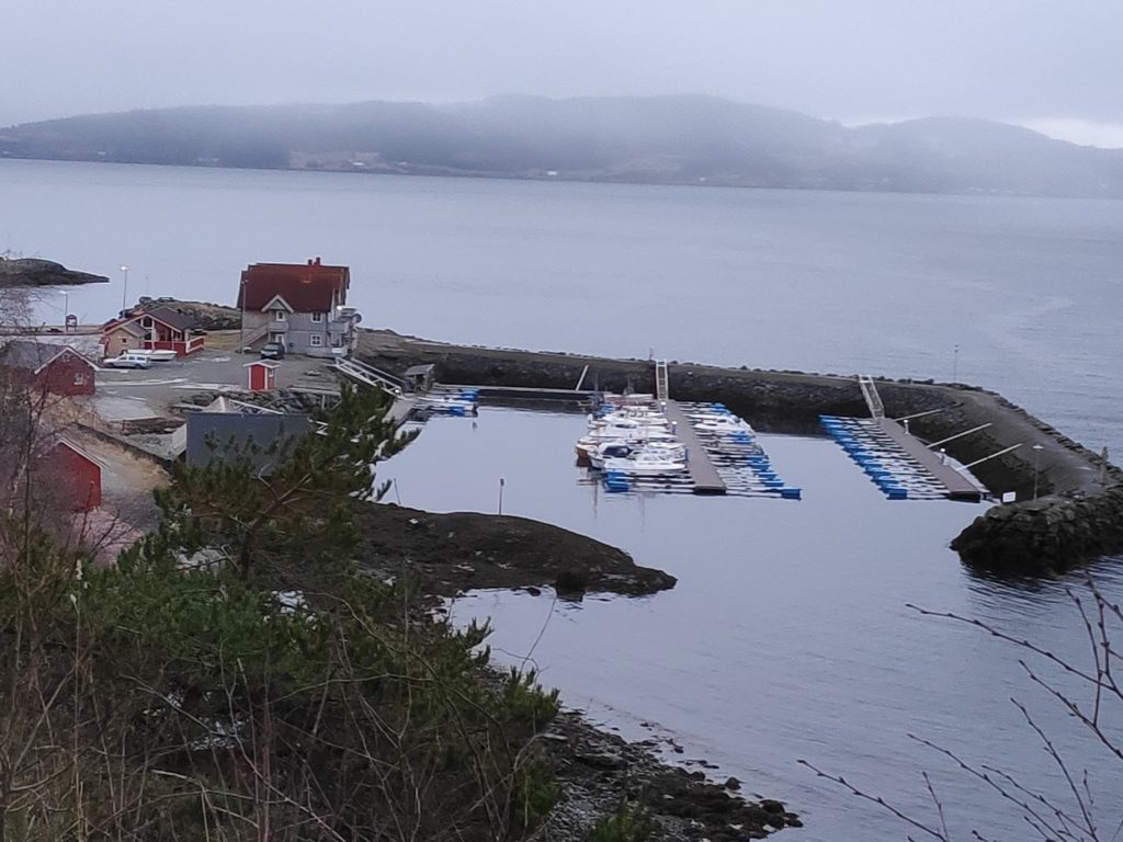
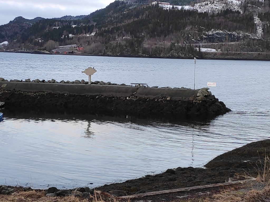
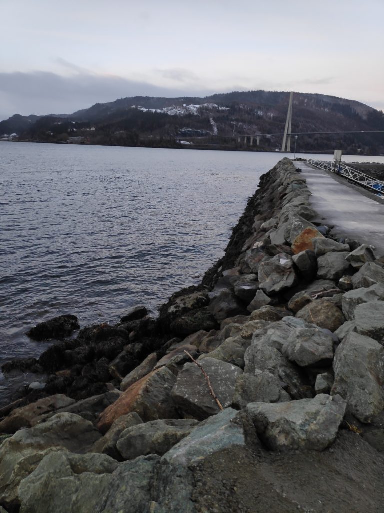
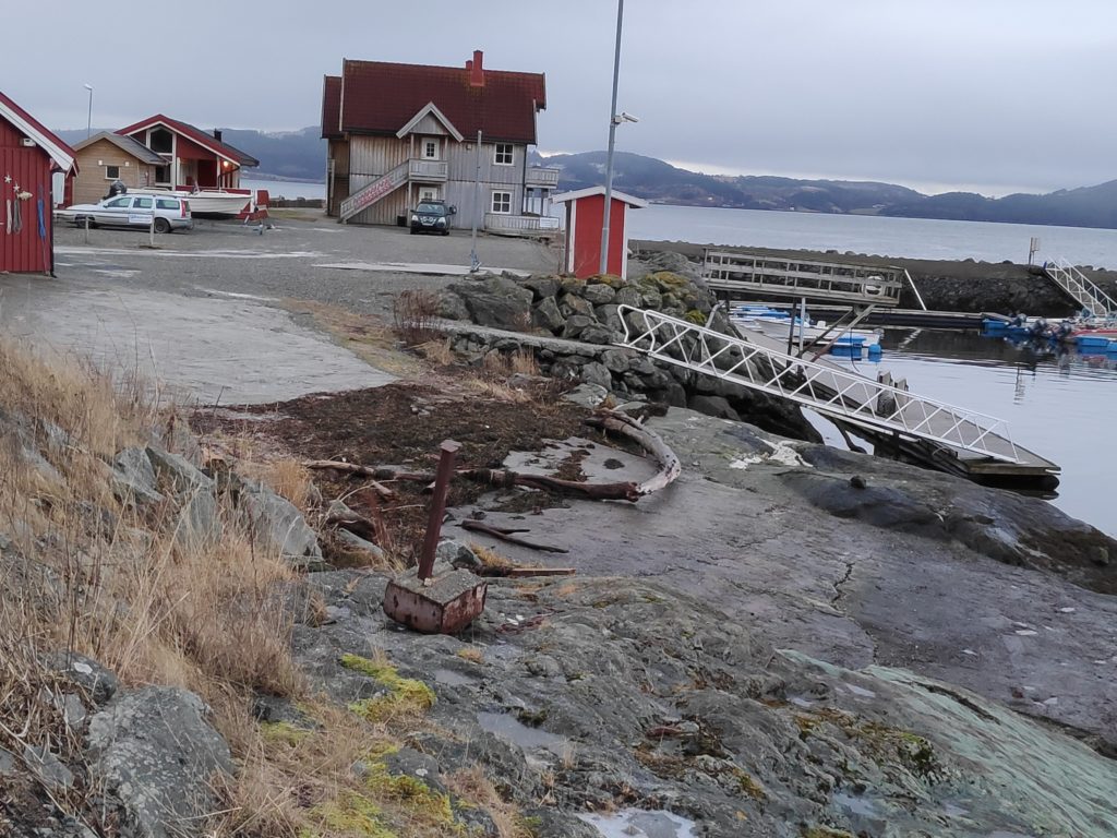
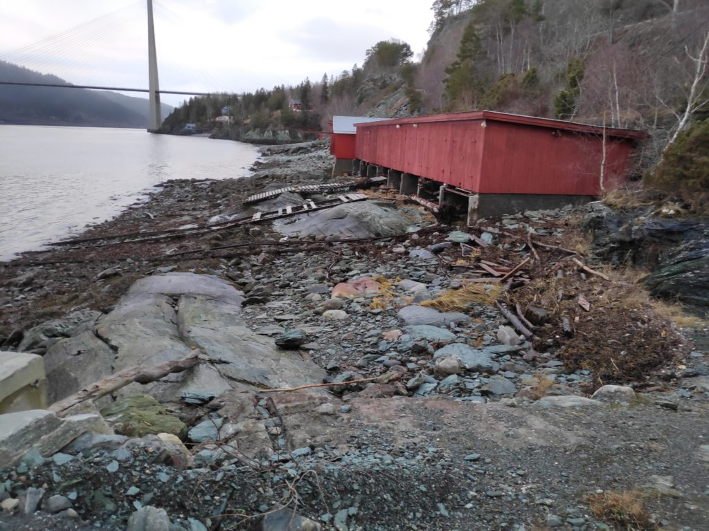
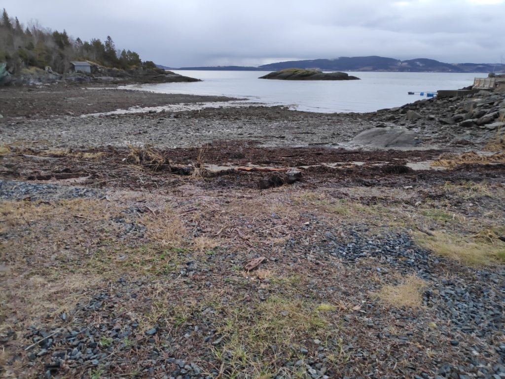
Low water at Vangshylla, Norway, on Thursday, 13 February 2020 at about 8:30 am. Note how narrow the entrance to the boat harbor is when the tide is low. The rock on the left-hand side of the entrance has a marker on it as it would be covered at high tide.Here is the entrance to the harbor from the inside. At high tide recently, only the rocky edge on the far side of the breakwater has been visible. There has been about three meters difference between high and low water. Anything that is very dark in color is covered in seaweed and would be covered almost every time the tide comes in.Here is the outside of the breakwater at low water. The photo shows how steep the sides of the breakwater are. Here too you can see a dark area which would be underwater at every high water.Here you can see the seaweed and logs that have been washed ashore at the high tide and left as the water receded. This gives an idea of how high the water actually came in the last couple of days. Note the steepness of the white ramp down to the floating dock, where yesterday at high water it was actually going uphill.We have often walked along this very rough beach area in front of the boathouses, though at high water no beach was visible. This is an area one must know one’s tides to be able to make use of the beach.“Vangshylla” actually means the shelf at Vang and here the shelf can be seen at low water. It is not a sandy beach, but it stretches out quite a way from the high water level which can be seen by the piled-up seaweed.