
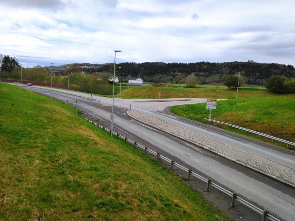
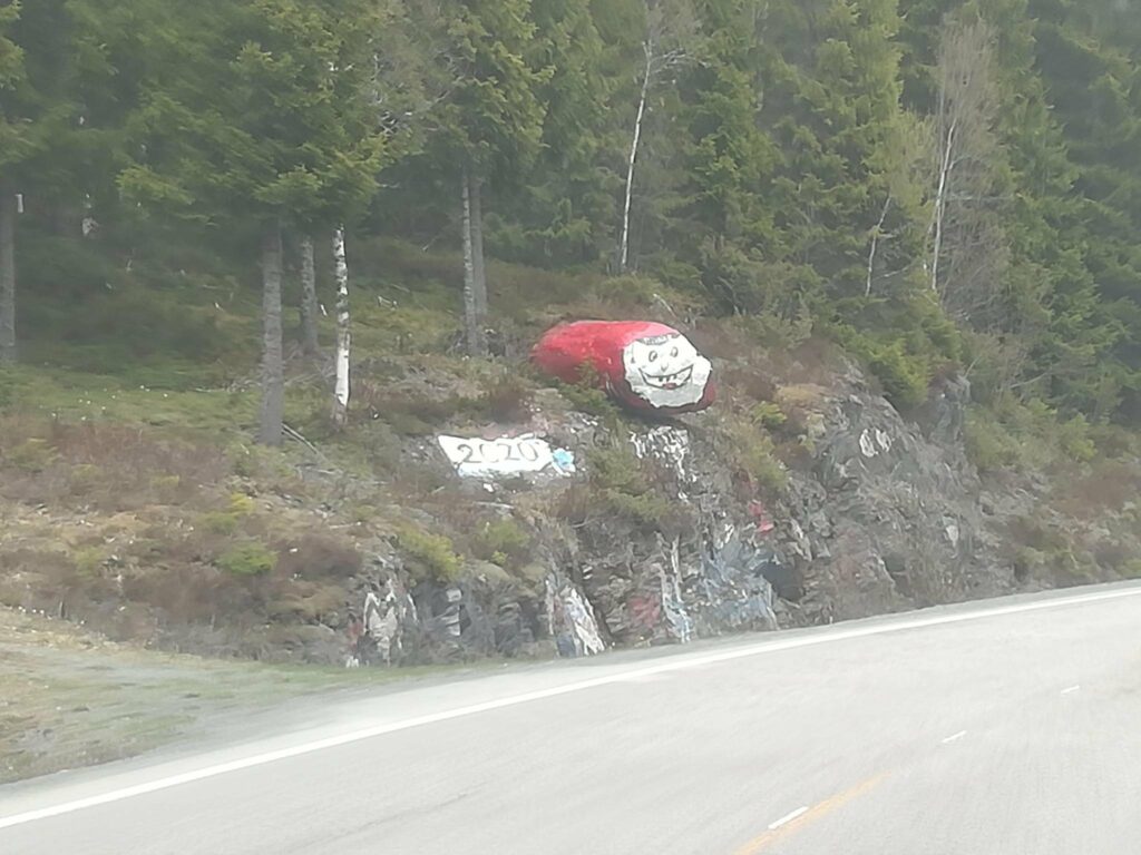
The start of route 755
Route 755 begins at the E6 intersection in Røra, in the municipality of Inderøy. The E6 is a south-north major highway route through Norway, having started at the southern tip of Sweden, running up the west coast of Sweden and continuing north through Norway and ending at Kirkenes, close to the Russian border.
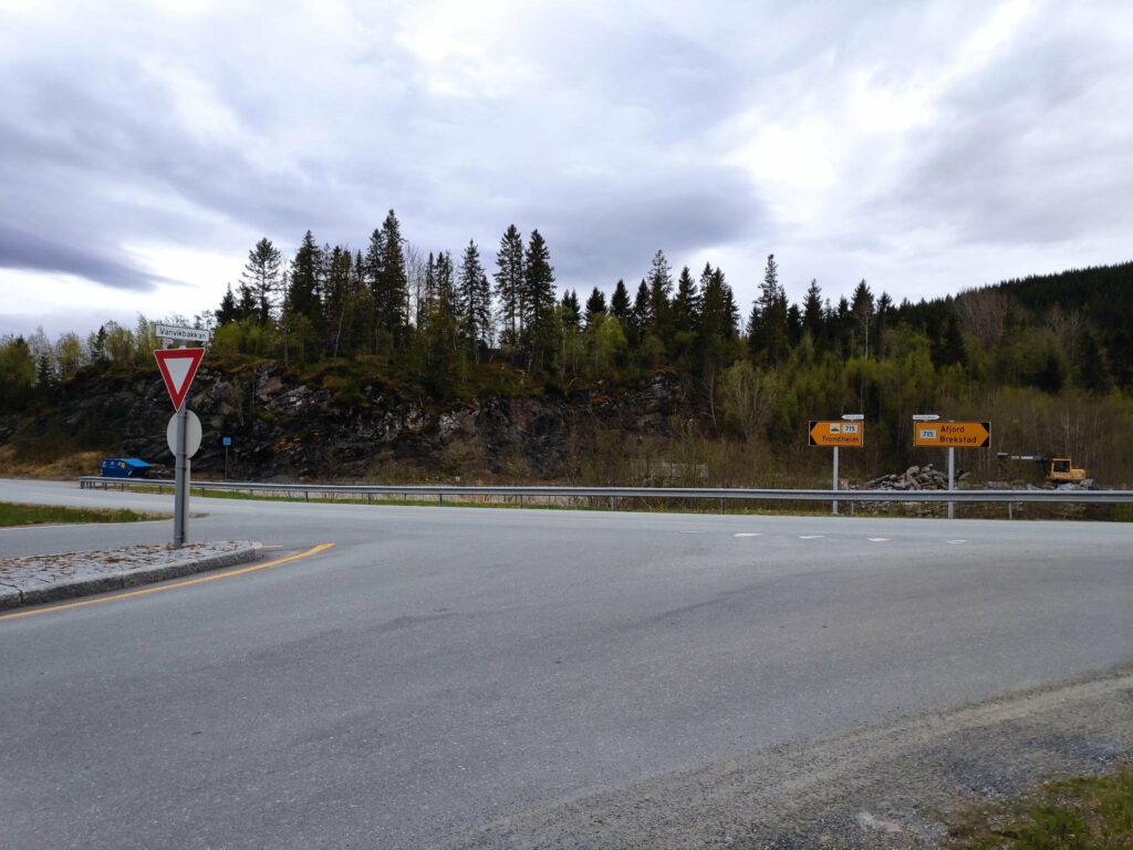
Route 755 runs east to west from the intersection at Røra to the intersection at Vanvikan with Route 715, which is another south-north route.
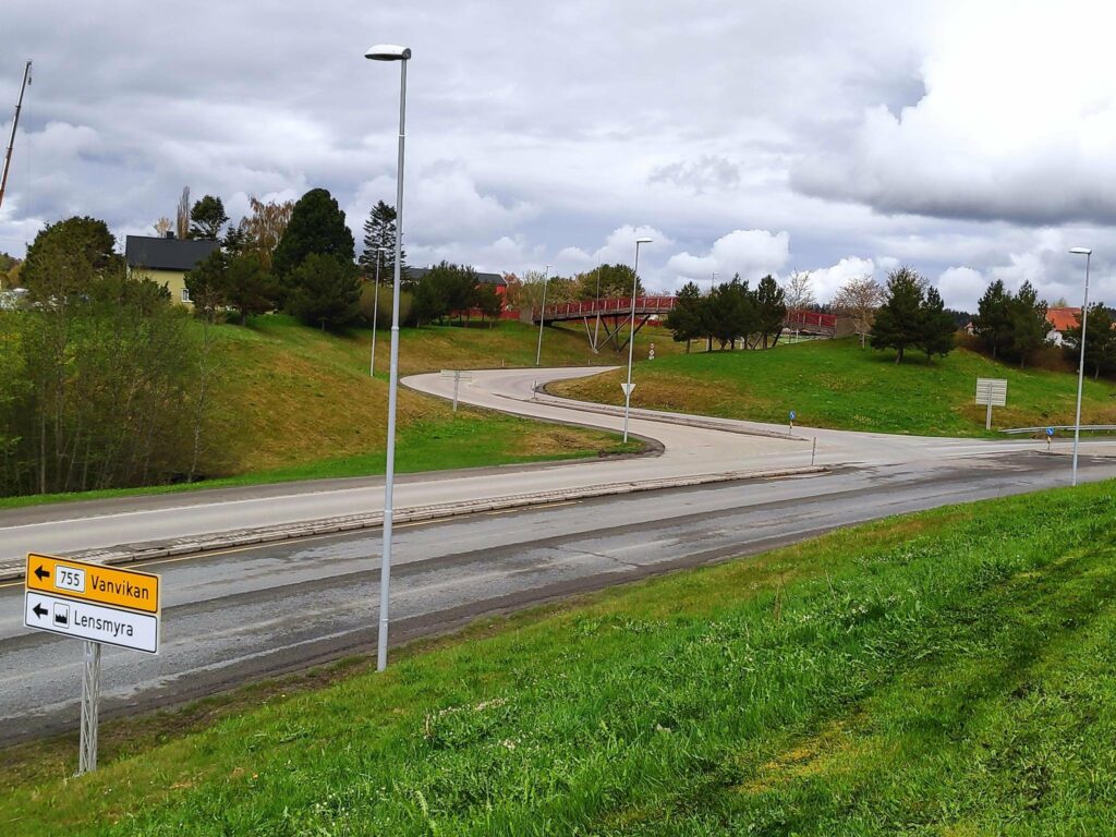
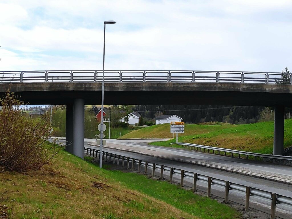
Coming from the south one makes a left-hand turn. In the years while I was working at Verdal Senior Secondary School, I went through this intersection twice a day. However, this is not how the intersection has always been. When I first started working in Verdal in 1988, there was a level crossing of the train tracks here, which created long line-ups in rush hour traffic as trains go by here at least twice an hour on working days. The current intersection opened in 2005 and everyone was glad when there was a bridge for the train and the road went under the train tracks.
Røra to Straumen
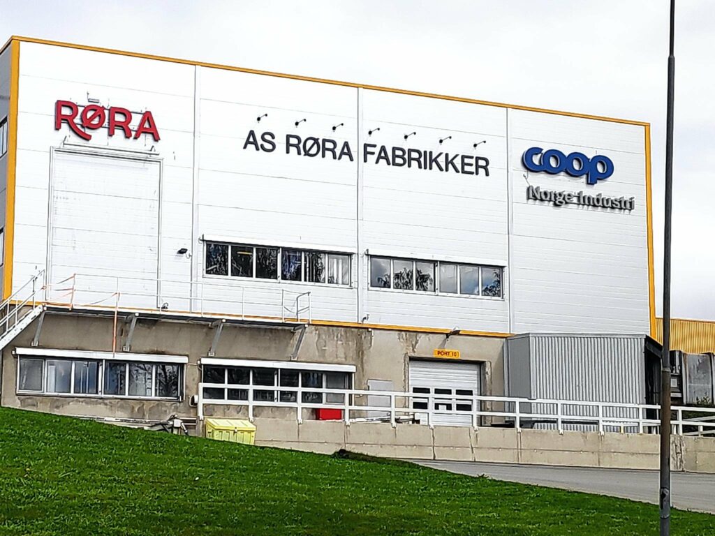
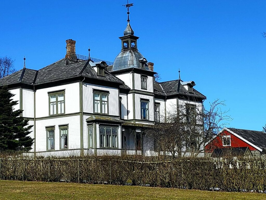
Røra is a housing area in Inderøy municipality and also features one elementary school quite close to this intersection, one railway station on the railway line from Trondheim to Bodø (called Nordlandsbanen). In addition there are several companies that are located here, including a jam and juice company and several construction companies.
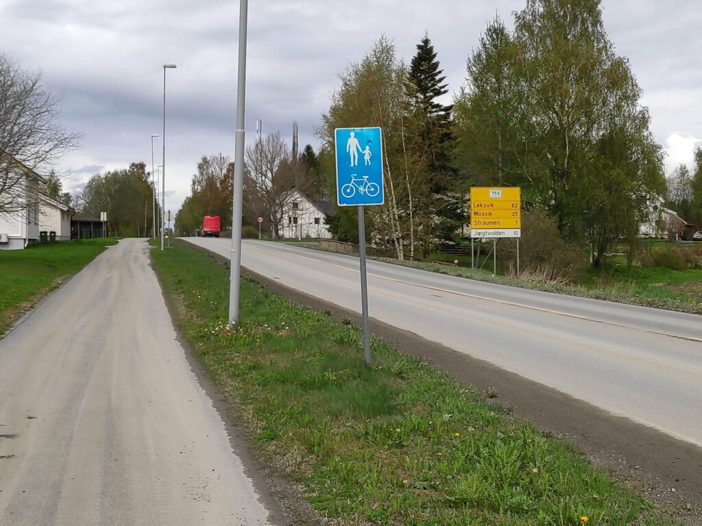
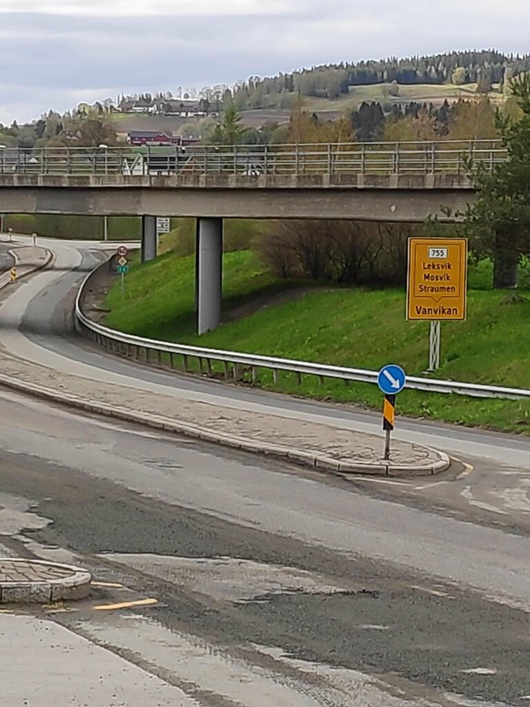
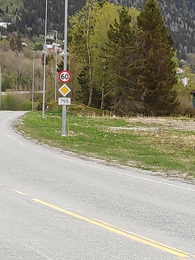
A note about signs in Norway. The blue sign indicates that pedestrians and cyclists are to use the provided path. The yellow sign tells which route you are on (755) and the distances to major places along the route: Leksvik (62 km), Mosvik (25 km) and Straumen (7 km). The white sign indicates a business, in this case a hotel, Jægtvolden which is 10 km from here.
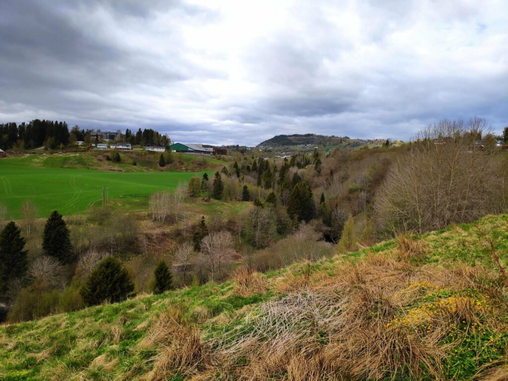
Route 755 is about 91 kilometers long, but it passes through various types of terrain, including farmland, shoreline on fjords, river valleys and forest-clad hills. The road goes downhill and uphill and rarely has straight sections. (See the Wikipedia article in English for other information.) For me, the importance of this route is that I used it for 30 years as part of my commute to work in Verdal. Now we mostly travel from home to Straumen. Every now and then we travel west of Mosvik. My husband worked in Leksvik for many years and he knew that section of the road a bit too well.
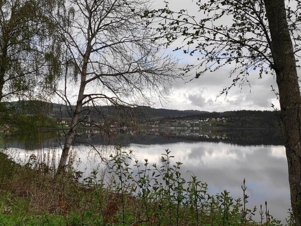
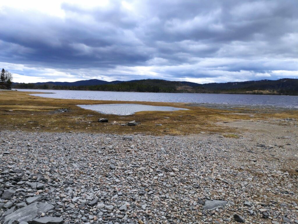
As one drives west from Røra, first the road passes the elementary school and the industrial area. Then it crosses farm fields before it goes downhill to Borgenfjorde, also called Bjørgin. Borgenfjord is tidal seawater and stretches north into Steinkjer municipality and is flanked by farm fields on all sides.
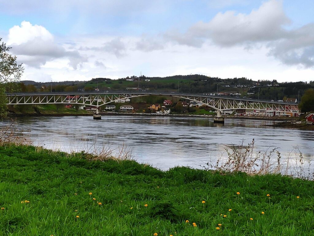
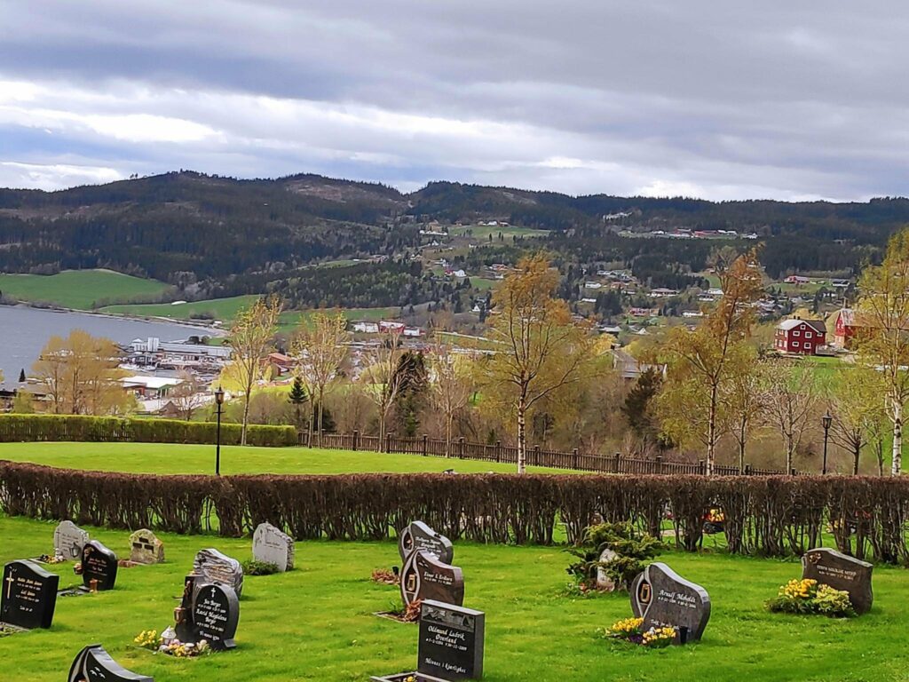
After crossing Straumbrua and the swiftly flowing current under it, one comes to Straumen, the municipal center of Inderøy and 7 km from the start of route 755. Here you find shops, a bank, three levels of schools , an art gallery and a lot of housing, both single family dwellings and apartments. There is also the intersection with a road leading to Steinkjer (route 761).
Straumen to Mosvik
Continuing west along route 755 one sees both the new church and the old church and continues between more farms on both sides of the road.
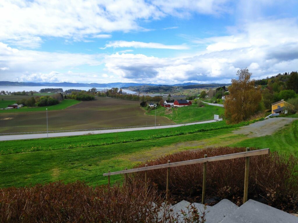
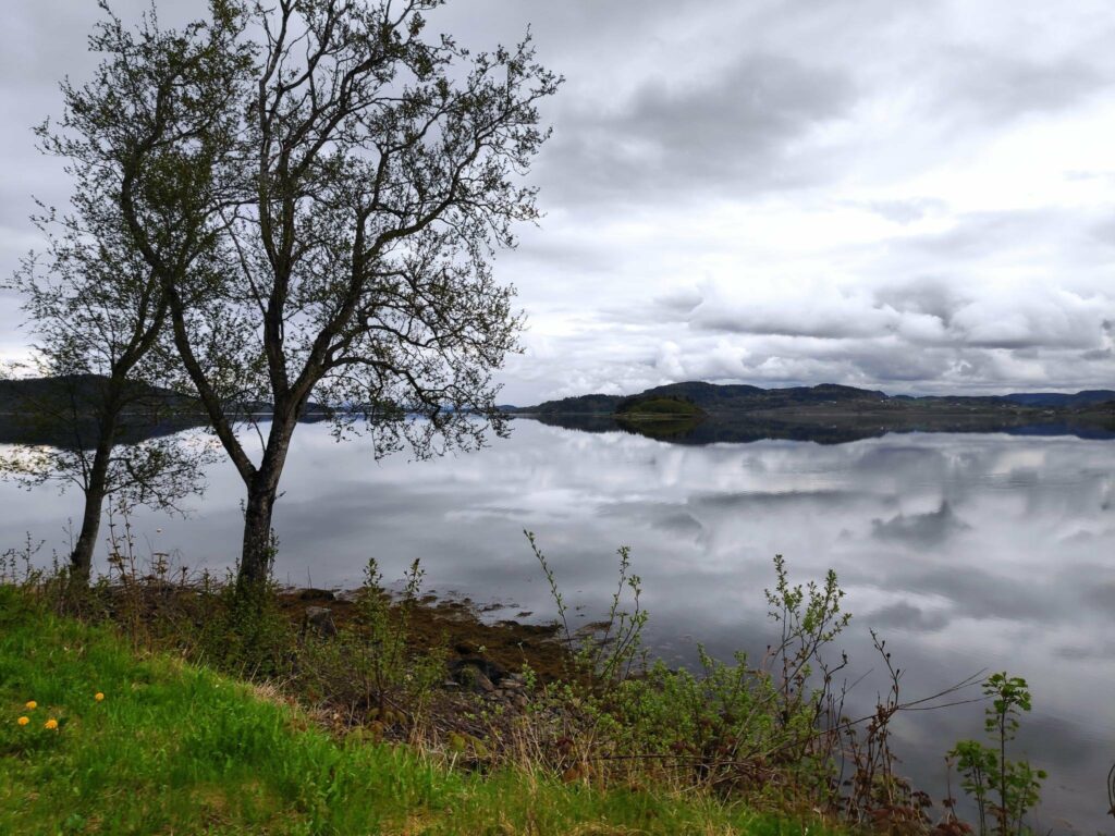
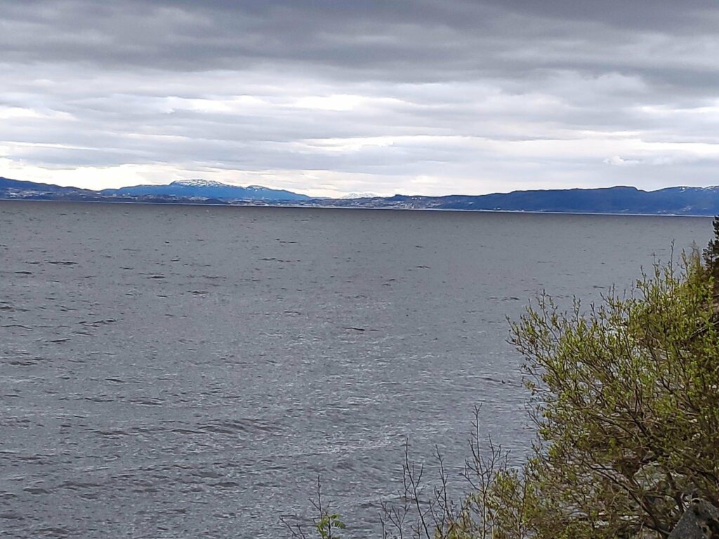
From Straumen, route 755 gives good views over Trondheim Fjord as the road follows the curves of the hillside and takes one through the area called Utøy to Skarnsund Bridge. Driving home from work along this road over the years, I watched the clouds discharging their loads, moving in the winds, or reflecting sunlight. It was never a boring route to drive, unless behind a slow moving tractor.
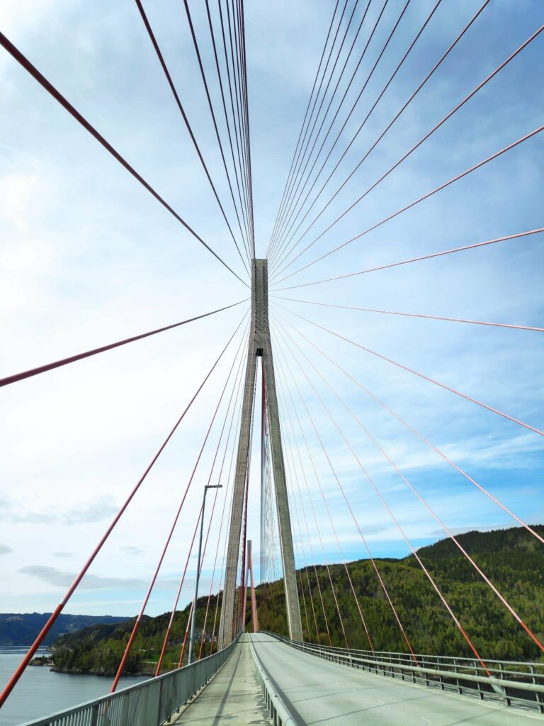
In its first years, Skarnsund Bridge was a toll bridge and we rarely drove over it, though we would walk over it for the exercise. Now that it is free, we drive over it regularly to go to Mosvik.
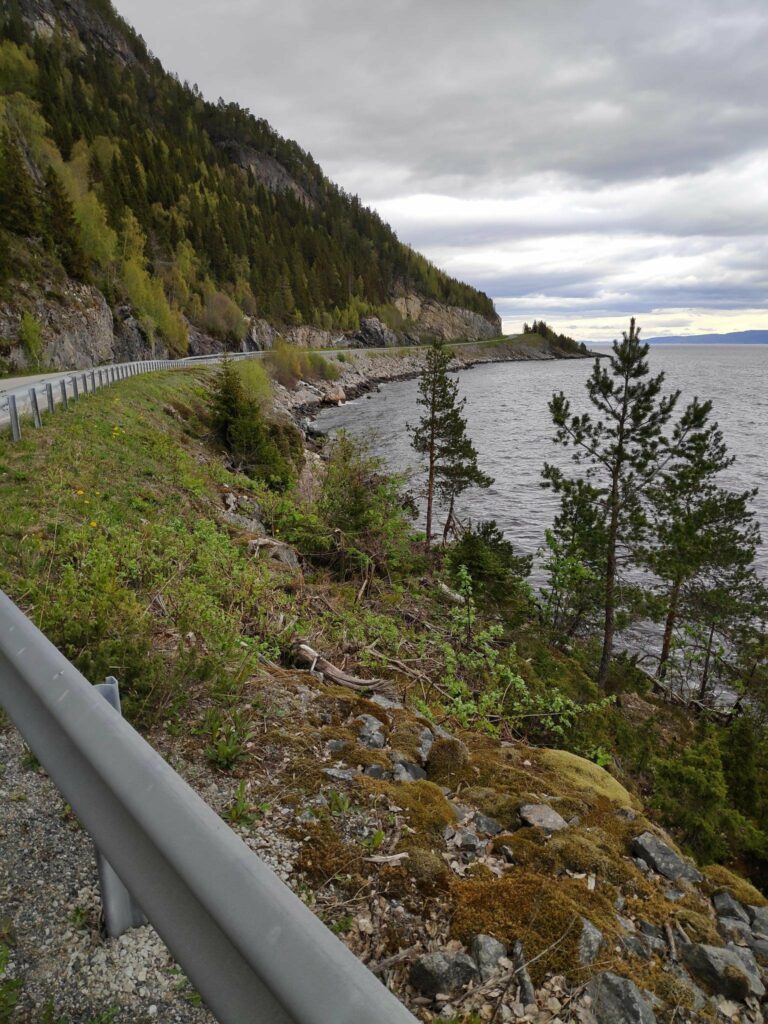
Once you have crossed the bridge the road mostly hugs the coastline along the fjord until you come to Mosvik.. You can see more about Mosvik in a previous blog.
Mosvik to Leksvik
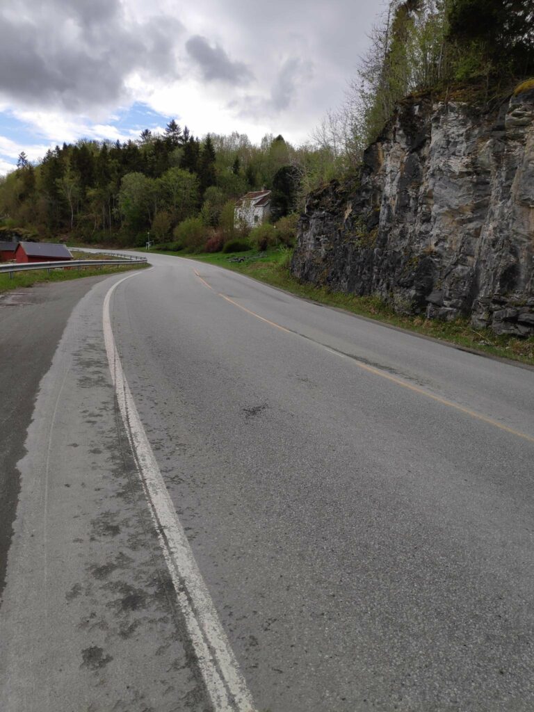
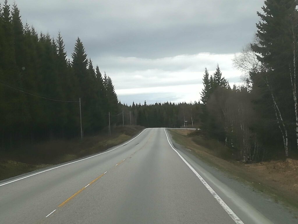
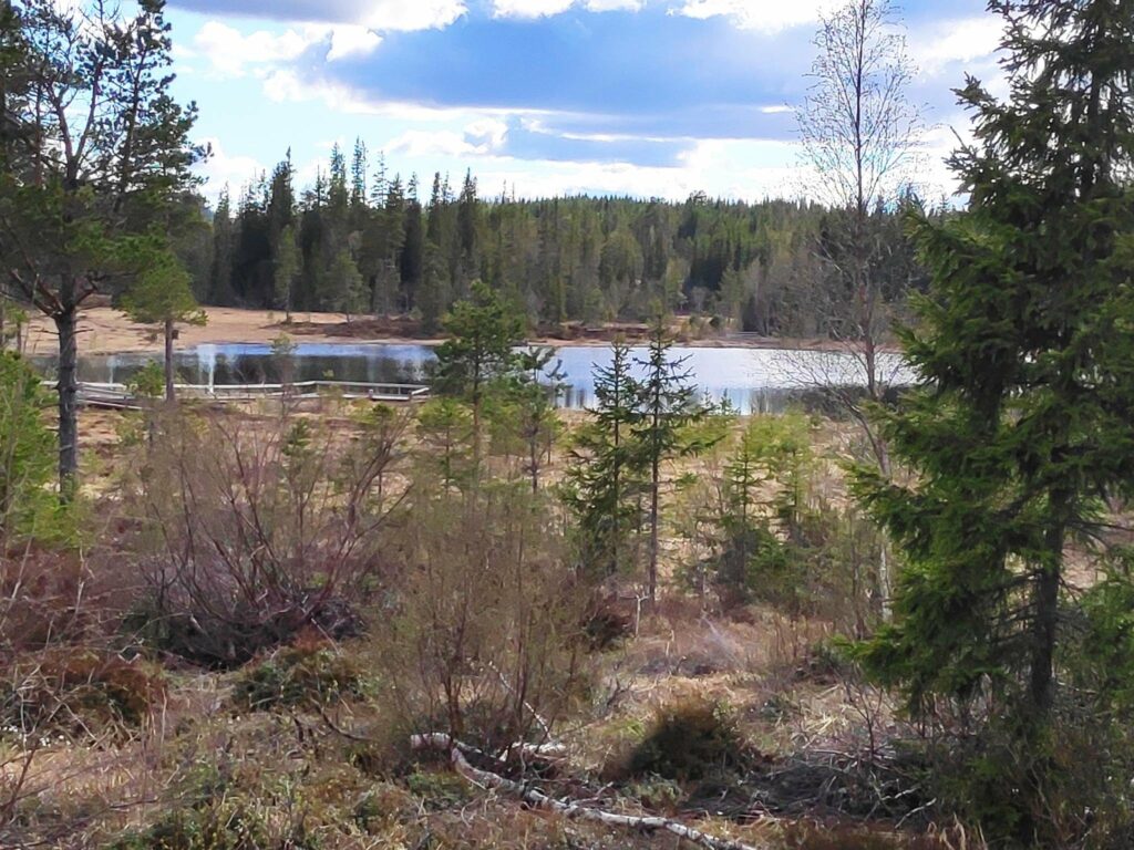
From Mosvik route 755 heads inland, and over the hills, around the lakes and through the forest. There are few farms and a lot of wild areas. The road can be a bit lonely, especially in the winter when it is covered in ice and snow. There isn’t the same amount of traffic on this section of the road as between our home and Straumen.
Eventually the road comes out of the forest and heads downhill through farms to the village of Leksvik which lies on Trondheim fjord. We are now in the neighboring municipality of Indre Fosen.
Leksvik to Vanvikan
As we continue westwards from Leksvik, the road mostly runs along the coastline affording views of Trondheim on the south side of the fjord.
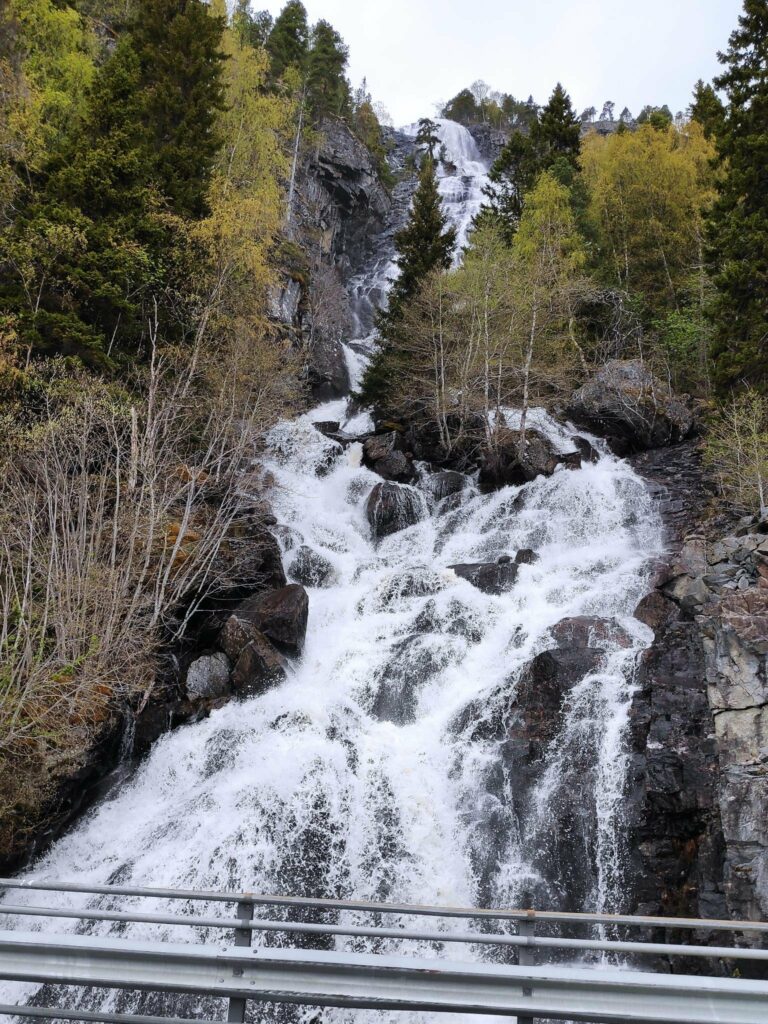
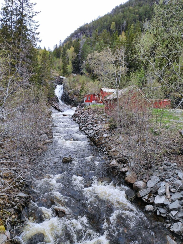
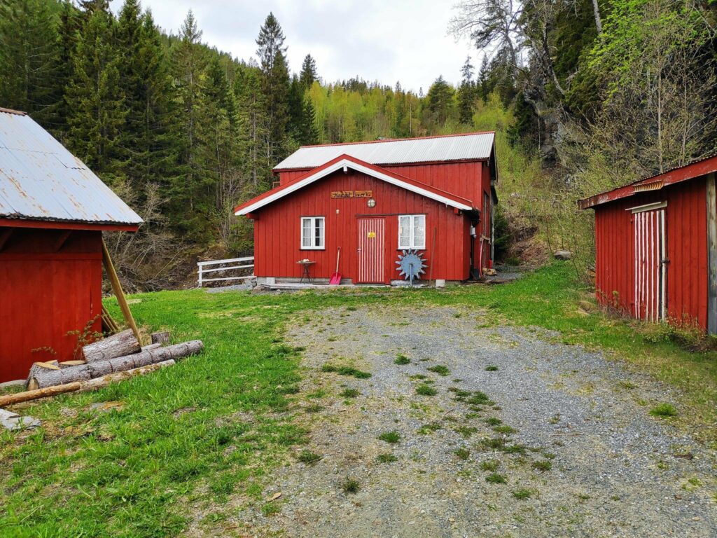
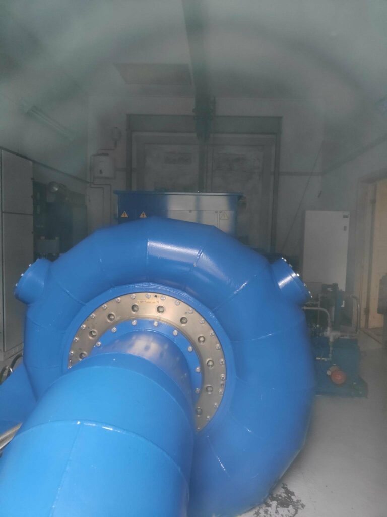
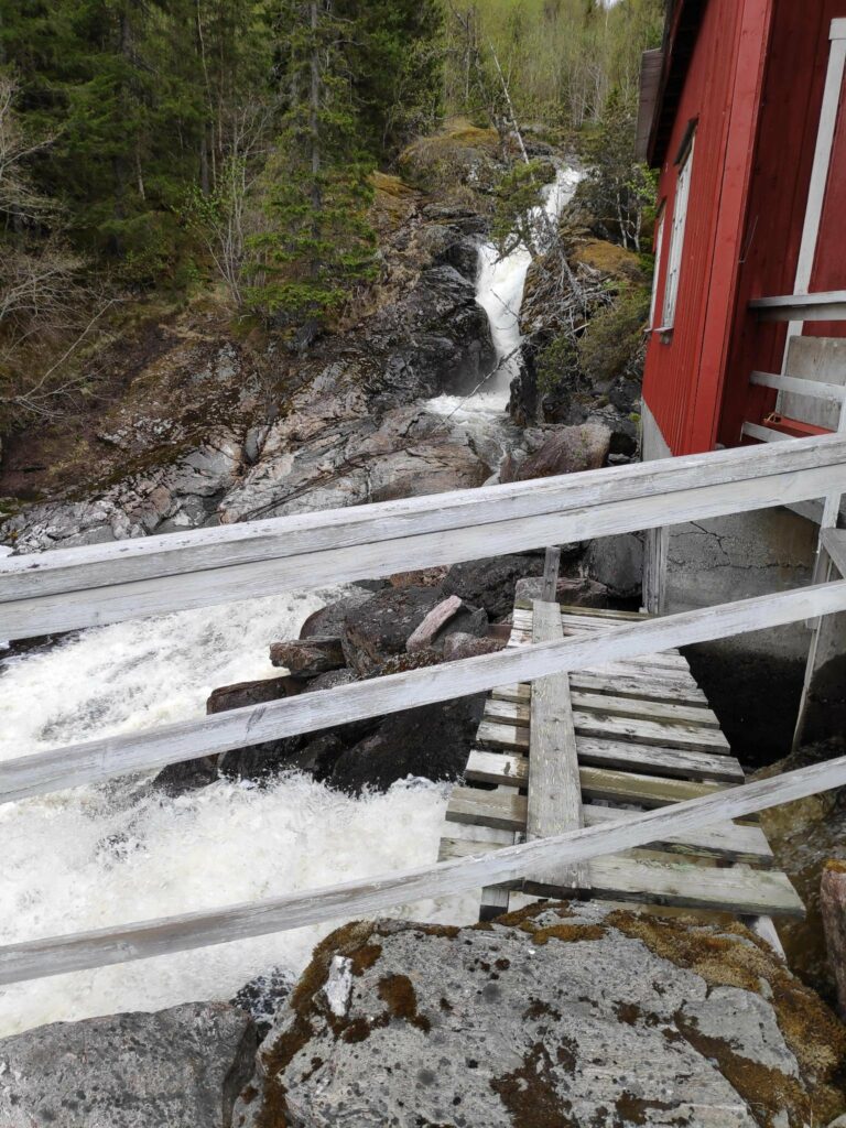
One interesting stop along this route was at Hestdal Hydro Power plant, a small independent electricity production plant.
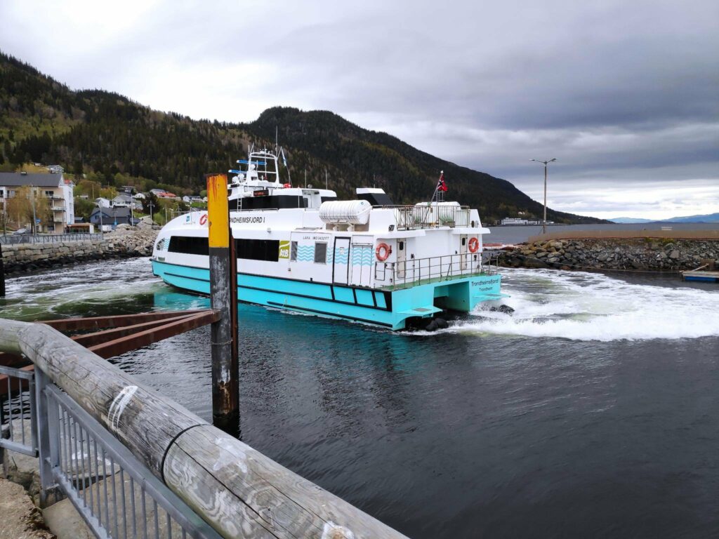
Vanvikan and the end of route 755
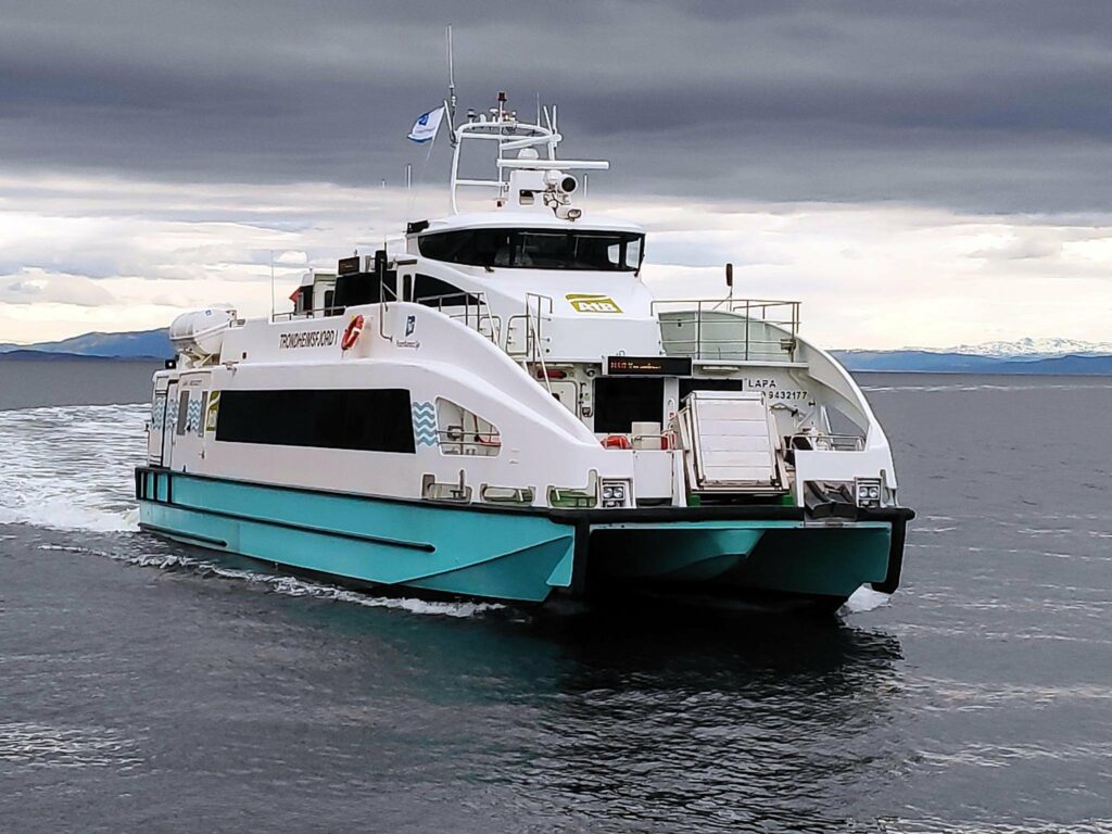
Vanvikan is a very small village of about 700 residents. There are some small industries here and you can get an express passenger boat from here to cross the fjord to Trondheim. We were lucky that one came in just after we had parked to look around.
Finally we came to the end of route 755.
The pictures for this blog have been taken on more than one occasion. We took a drive from our house to Vanvikan one Sunday morning, but with all the stops it took a lot longer than I had been expecting. In the end we drove straight home from Vanvikan with no further stops and it took us about 75 minutes.
The pictures of Røra and Straumen were taken on a different occasion and this section of the road I travel quite a lot.
I hope you have enjoyed this blog article. You will find other blog articles about different things along this route, including a walk at Liatjønna, the center of Mosvik, the tidal walk in Straumen and Skarnsund Bridge (to be coming soon).