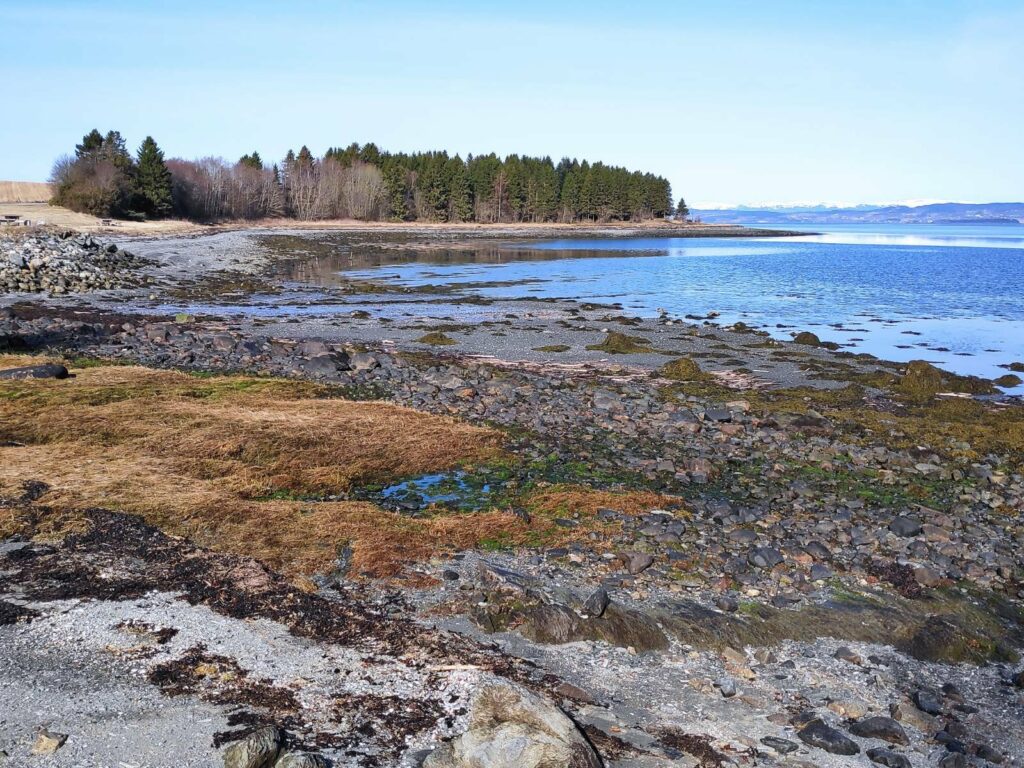
On Monday this week, I met my friend and her two dogs at Skånes in the municipality of Levanger. In Norwegian it is called a “friområde” which translates as a “free area”. This means that it is a public area, owned by the municipality and is free for everyone to use. Skånes is located on the fjord and is mostly treed, though there are open areas where picnic benches and grill places have been set out.
It is not really a beach, though I understand people go swimming here in the hot weather. The tide was very low and it is quite shallow right here. The path we followed took us into the trees.
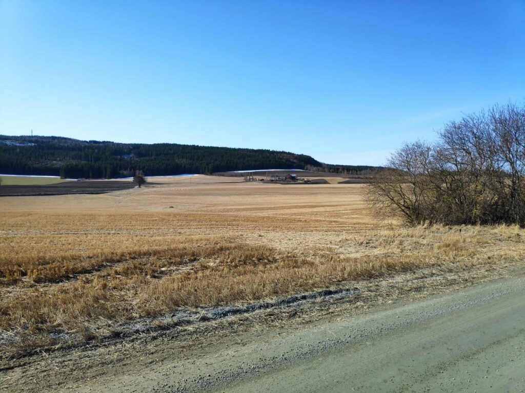
Looking away from the water, one sees the agricultural land. Though there is a bit of a hill, actually a ridge, it is quite flat in this part of Levanger and there are a lot of farmed fields.
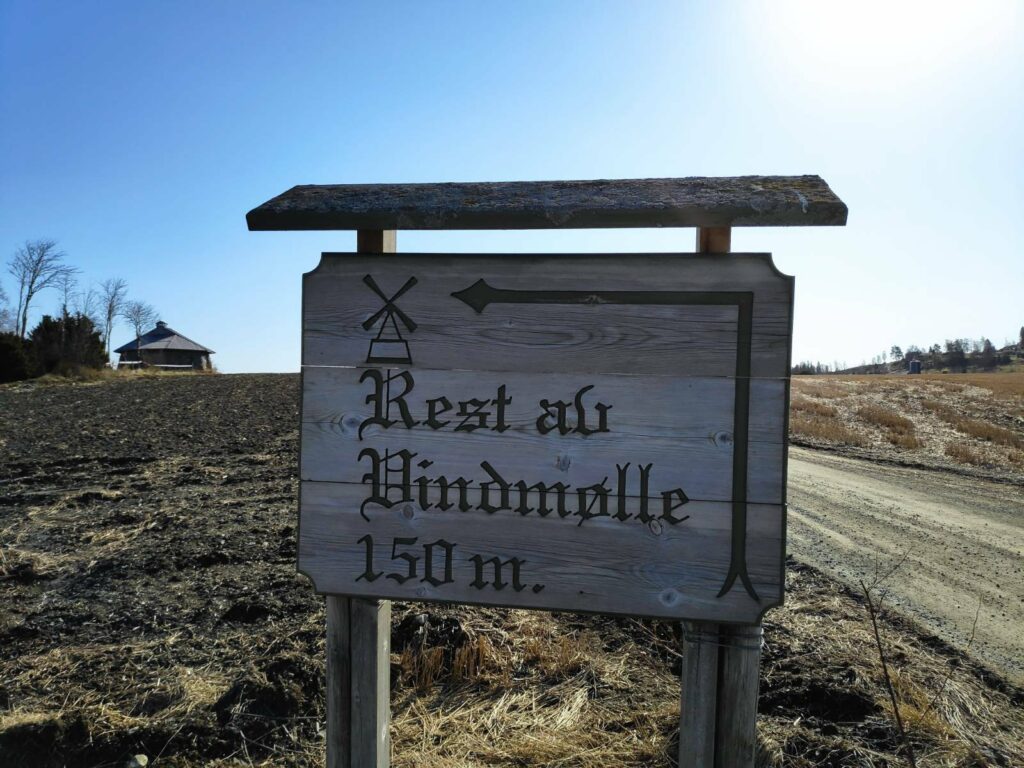
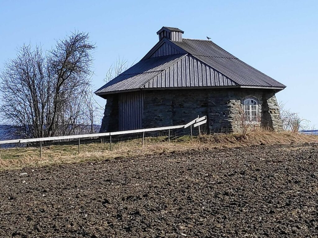
I got here a bit early so I went up to look at the remains of an old windmill, which can be seen on the left in the picture.
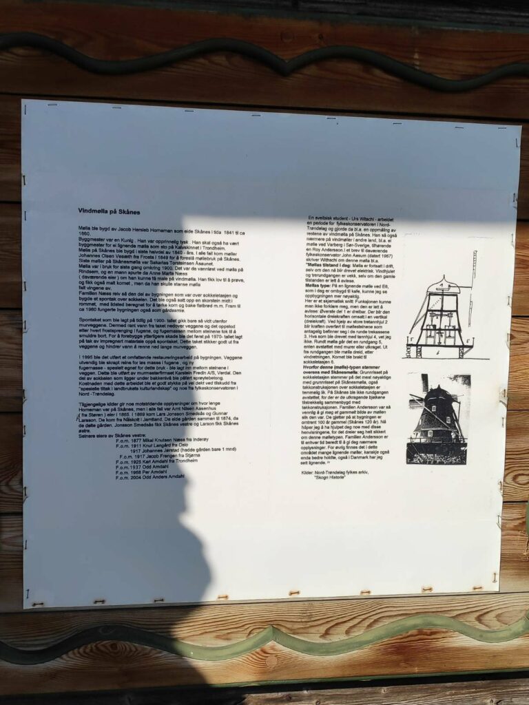
The windmill was built about 1849 and in use for grinding grain until about 1900. Then the wings fell off and the top of the building was removed and a roof put over the base of the windmill. It was used as a smithy until about 1960. In 1995 extensive repairs were made.
The building as it stands now. One has to walk across a field to get to it, but it is not open to the public.
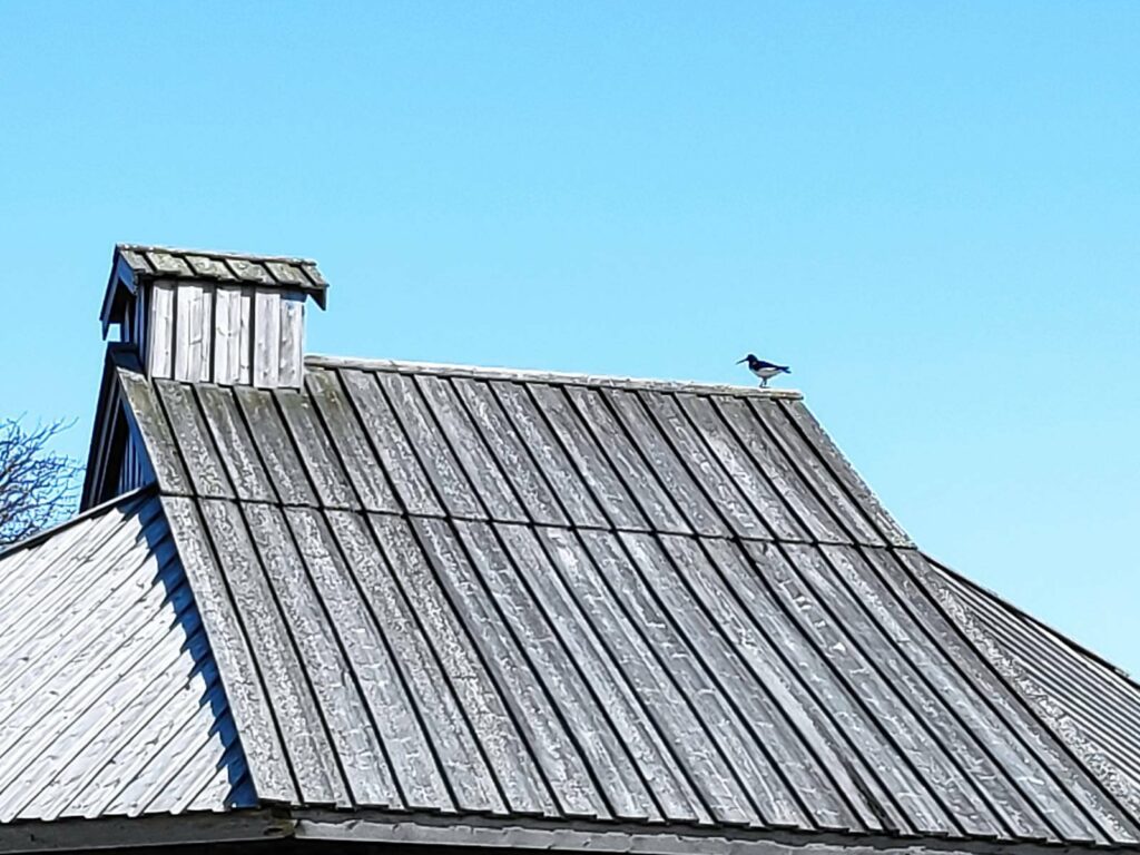
The bird on the roof is an oystercatcher, a bird which is quite common in coastal areas of Norway. It is a wader and would find its food on the beach areas at low tide. It has a very distinctive sound that it makes, and can be quite noisy, especially when defending its nest. This one seemed to have a nest nearby, though I didn’t see the nest. The oystercatcher goes south in the winter and its return is always a sign of spring.
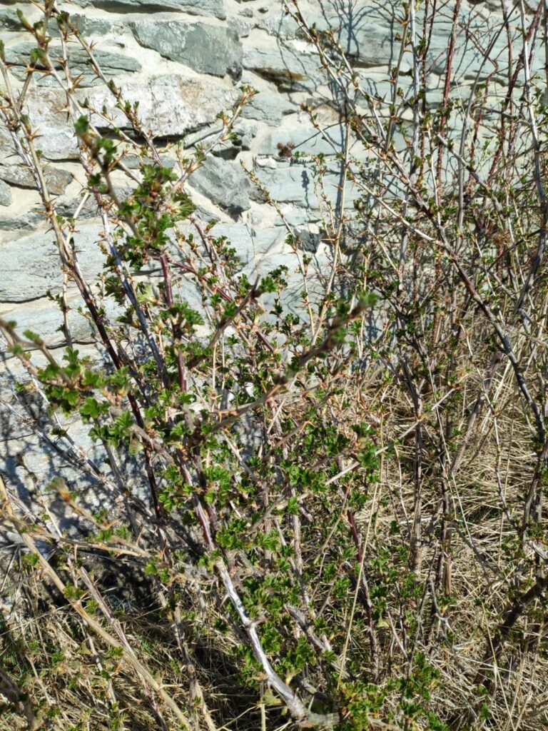
Close to the wall of the windmill, there were even leaves coming out on the bushes. Grass is starting to grow here now, but the trees have not put out their leaves yet.
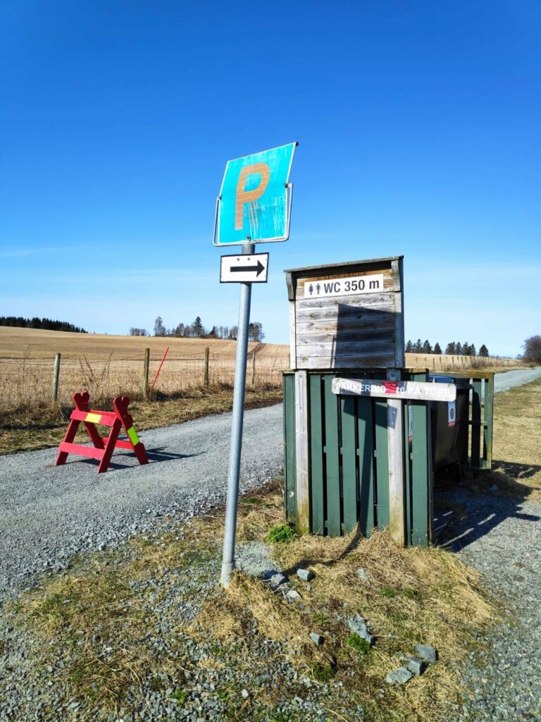
At the entrance to the park, there were quite a few signs. P = parking and there is space for 20-30 cars. There is a toilet in 350 meters along the path. It is not a water closet, even though they use the abbreviation WC in Norwegian. It is a pit toilet with seat, toilet paper and hand sanitizer. We will follow the path past the red barrier which is needed to prevent people from driving along what is meant to be a path, not a road.
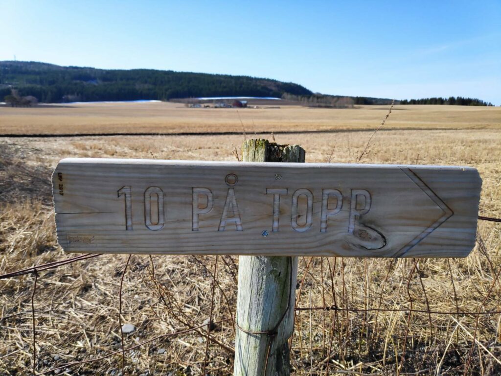
It is very common in Norway for every municipality to have places to walk to. The term “10 på topp” literally means that there are 10 high points that can be walked to. I was very surprised to find this sign here, where the path basically goes along the water. Where was the top/peak?
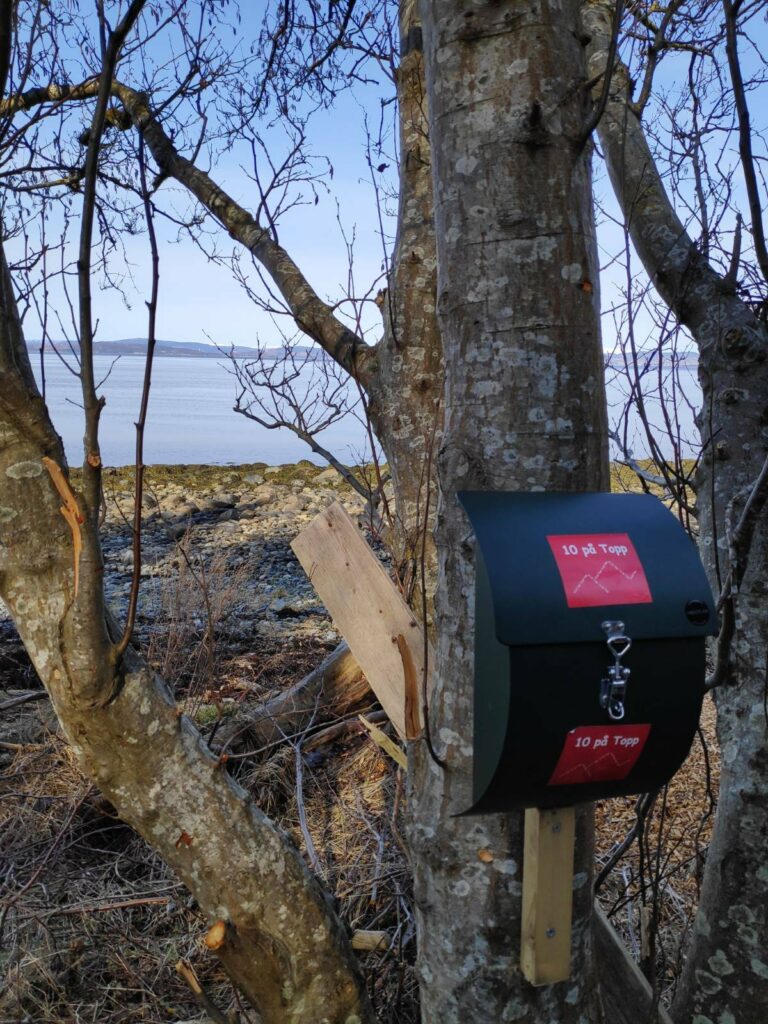
Inside this metal box, fastened to a tree, there would be a book to write your name in. I was very surprised that it was called “10 på Topp” with the drawing of mountain tops. We are maybe 10 meters from the water’s edge and maybe two meters above sea level! There was no “top” here, in my opinion. I think the phrase is used in the sense that people are being encouraged to get out into nature.
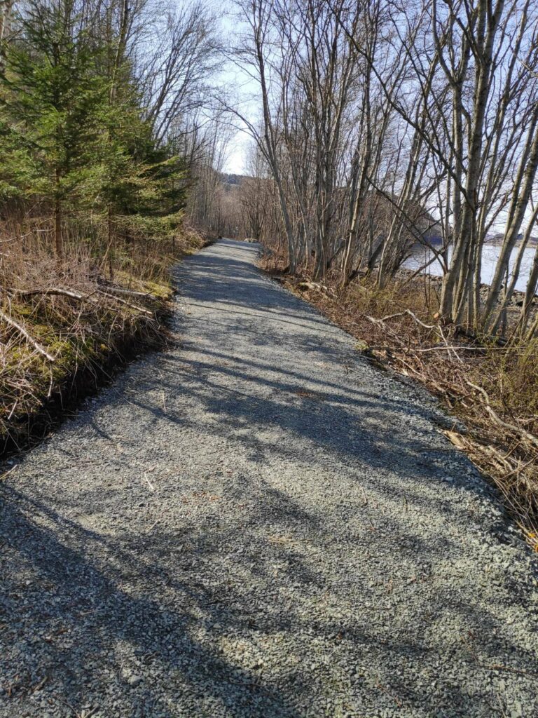
We walked for perhaps 20 minutes, more ambling than a brisk walk as the dogs made several stops to sniff. Since the last time I had been here, they have fixed up the path to a much higher standard. People using wheelchairs would be able to come along this path. There has also been extensive clearing on both sides of the path.
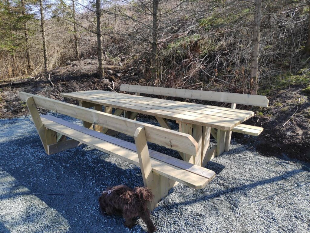
In several places, there were picnic benches put out. This one looks brand new and would easily sit 4 or 5 people on each side, if one didn’t have to sit one meter apart because of the pandemic.
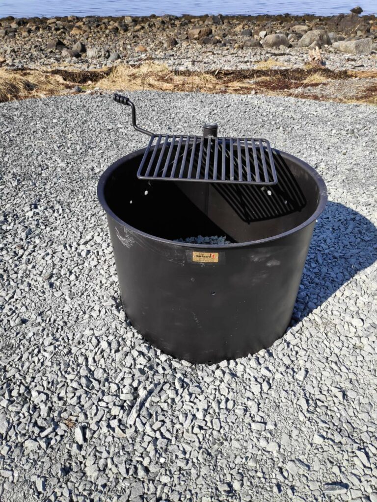
In a different location we came across this brand new grill that had been put out. It had never been used, so it must have been put out just before we came. It had been nice all weekend, so I’m sure it would have been used if it had been put out on Friday.
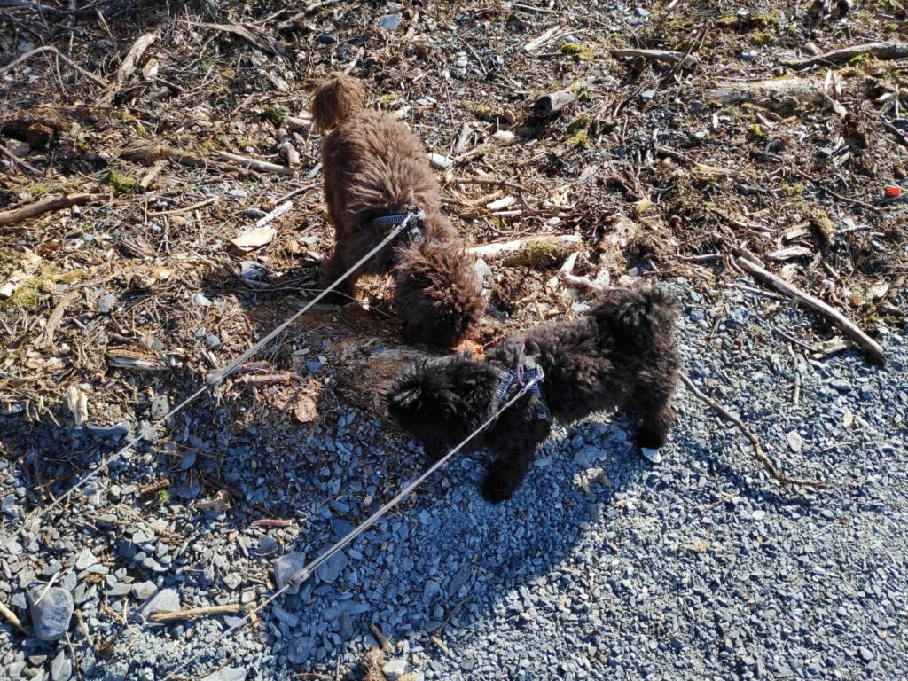
Two of my walking companions, Trine on the left is brown and Trixie on the right is darker, older and slightly smaller.
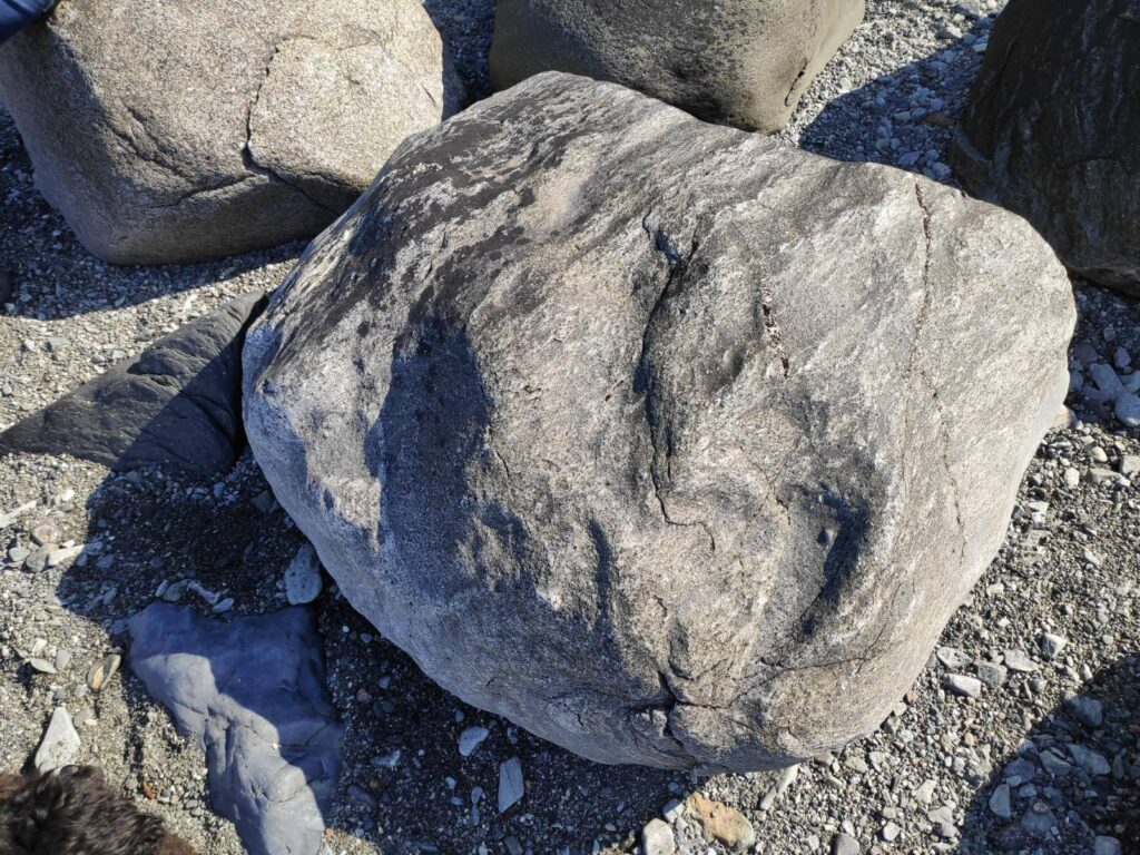
Eventually we found on open spot on the beach which was both in the sun and out of the wind. This is the rock that I sat on. We sat for an hour chatting before returning to our cars.
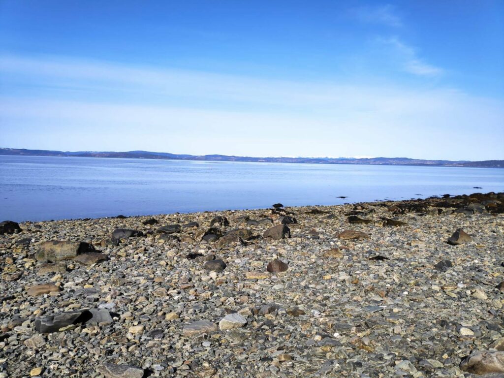
The view from my rock, looking towards home. The tide was low but had started to come in slightly.
It is very difficult to take pictures of the landscape in the distance. Because of perspective, everything becomes just a thin line in the picture. I have driven about 40 km, around the end of Trondheimsfjord to this beach. However, from the right angle, one can see the towers of Skarnsund Bridge. There is an island between me and home, but the distance in a straight line would be about 15 km. What we can see with the naked eye, does not always show up in the picture.
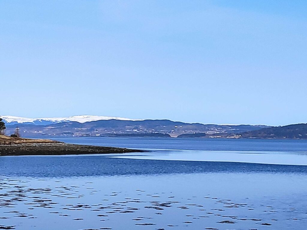
This picture shows various levels of depth. First is a small point in the park that I’m in. Then there are some tree-covered small islands, then the main part of Inderøy with housing and farms located quite high on the hillside. In the far distance are mountains still covered in snow. They are in the municipality of Steinkjer and across another fjord on the other side of Inderøy, probably about 40 km in a straight line.
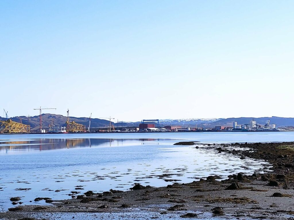
This picture was taken from the parking lot and is looking north-east towards the industrial area of Verdal (the municipality between Inderøy and Levanger). On the left are yellow-painted steel supports for oil rigs in the North Sea. To the right is a limestone processing plant.
This is a park that I come to frequently as my girlfriend lives nearby. However on this visit, I got there about 15 minutes before her, so had ample time to take pictures of the area before we met up. It had been several weeks since we had seen each other, so we had no problems filling in two hours chatting, both while walking and while sitting on the beach.