On the 10th of August we went for a walk to the island called Storholmen. Today we again parked at the Recycling Center in Utøy and walked the same path down to the fjord as we had on the previous walk to Storholmen (see the previous blog here). But instead of walking out to the island we continued along the path towards Undersåker.
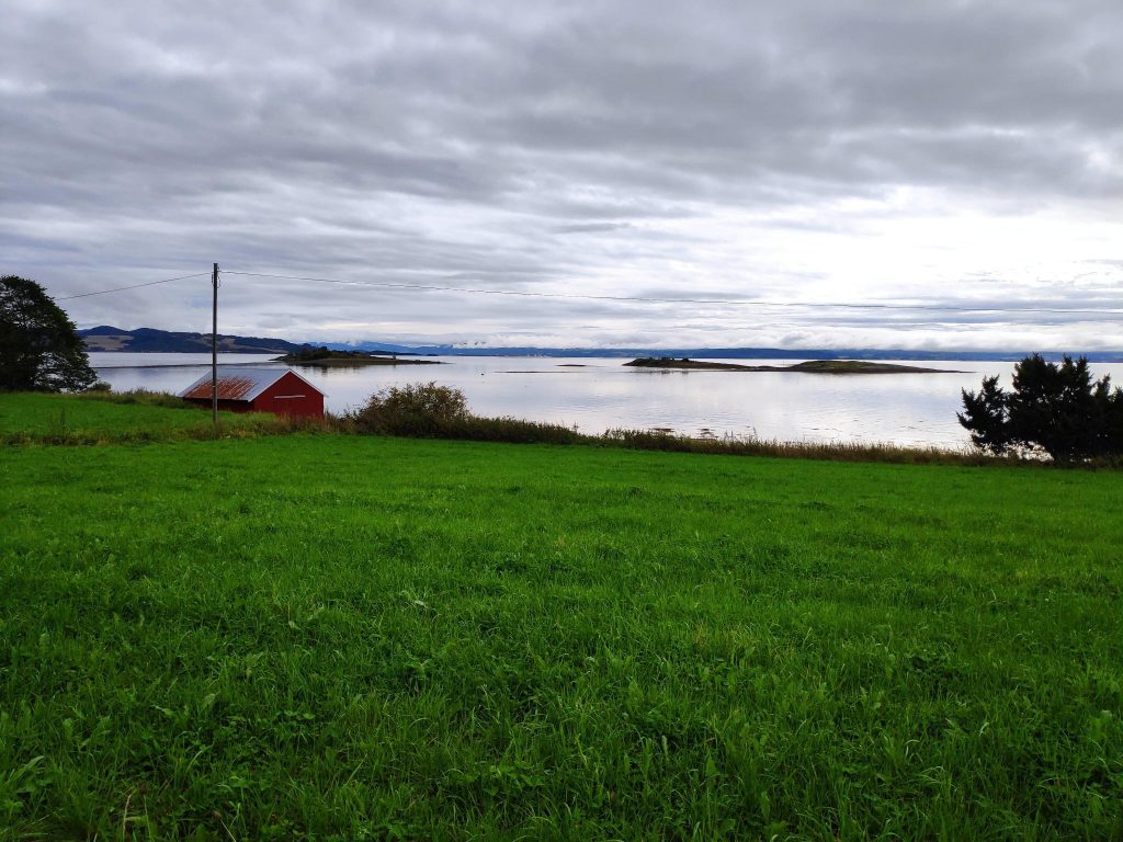
Storholmen is on the left, still just attached to land and the other islands are now isolated. It was an incoming tide, so the causeway out to Storholmen had much less above the water on our return trip to the car than had been the case on our outward walk.
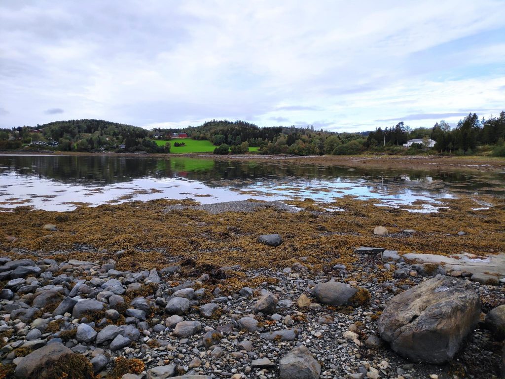
As you can see from this picture, the sky was quite cloudy. Though we usually go for our weekend walk on Sundays, we chose Saturday this week as the weather forecast was better for Saturday morning. I noticed that just as we arrived home again, it started to rain so it was good that we weren’t out any longer or any later in the day. The temperature was about 12 degrees Celsius, which I find a nice temperature for walking. There was no wind, not even down by the water.
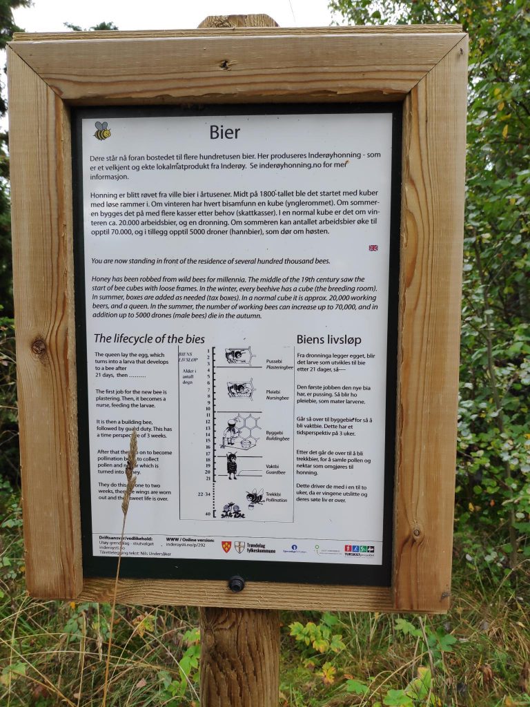
It didn’t take us long to come out of the woods and follow a road towards the honey farm at Kvamsholmen. One of my son’s classmates grew up here, but the farm has now been taken over by Tonje Kvam.
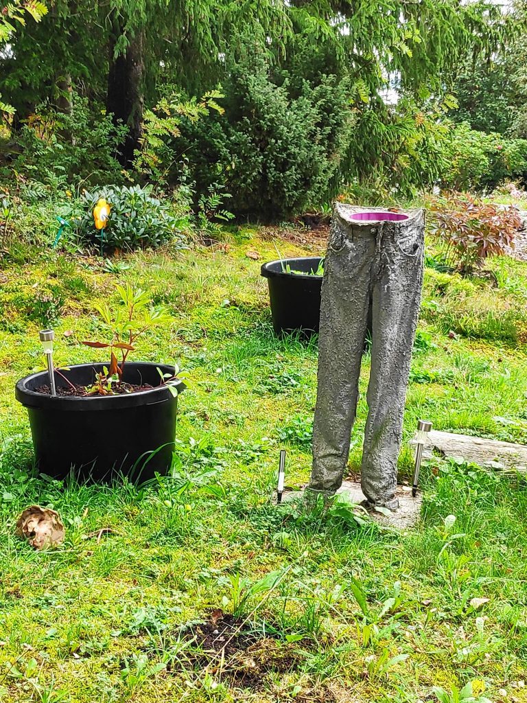
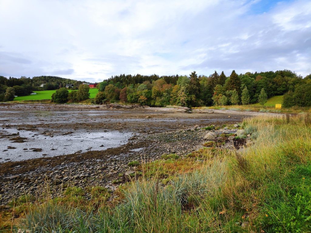
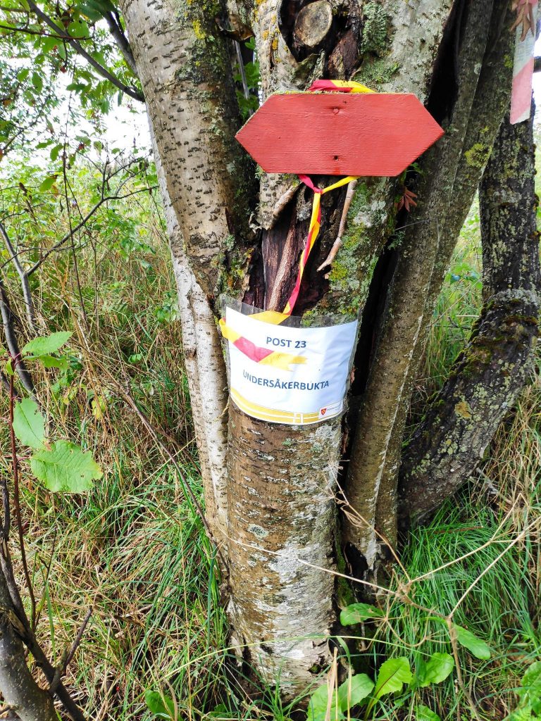
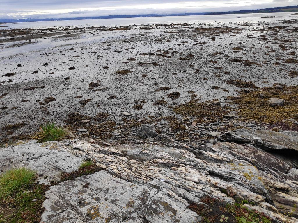
This sign is in both Norwegian and English and explains the life cycle of a bee, who lives approximately 40 days. In the summer there can be up to 70 000 bees in a hive.We passed one house, or perhaps it is a cabin/summer house, and this pair of jeans was left out in the garden. I don’t think I would want to wear them again.Undersåker Bay – My daughter was friends with the girls that grew up on one of the Undersåker farms. The tide is out. We walked around this bay, crossed a stream and sat down at a picnic table on a rocky outcrop just to the left of the center of the picture.
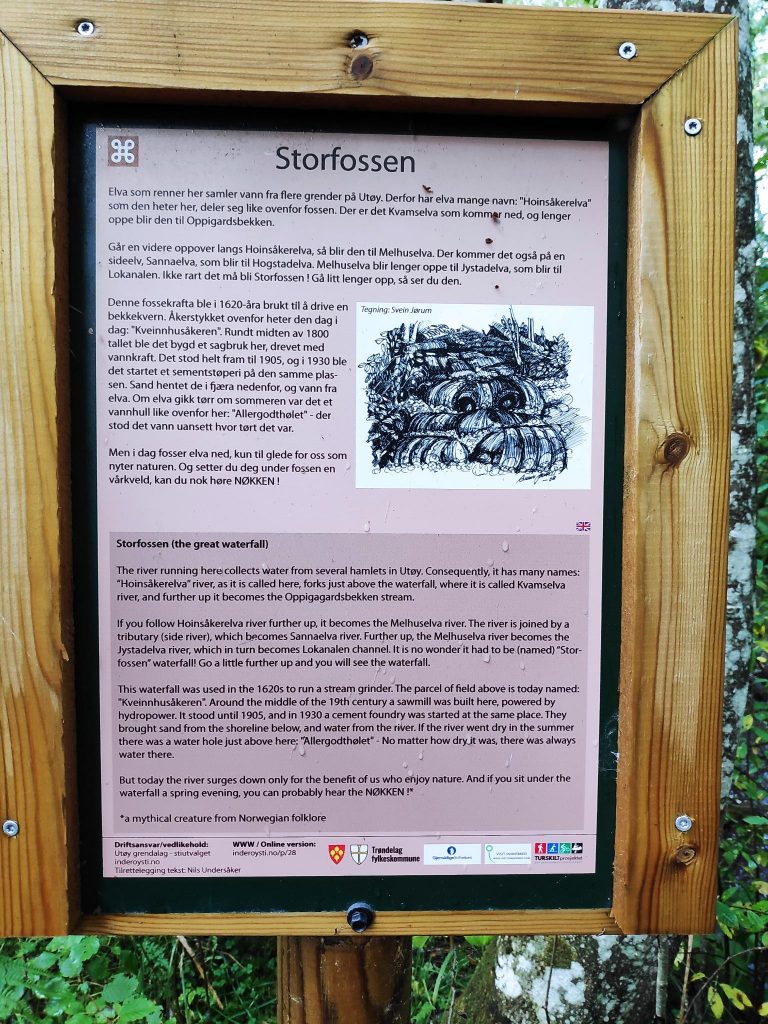
We came to a stream that drains several hamlets in Utøy and the stream seemed to have different names depending on which farm it is closest too. The sign below explains that the stream has been used for various purposes over the centuries: in 1620 it was used to power a stream grinder; there was a sawmill in the 19th century and a cement foundry in 1930 which used sand from the beach as well as the water from the stream.
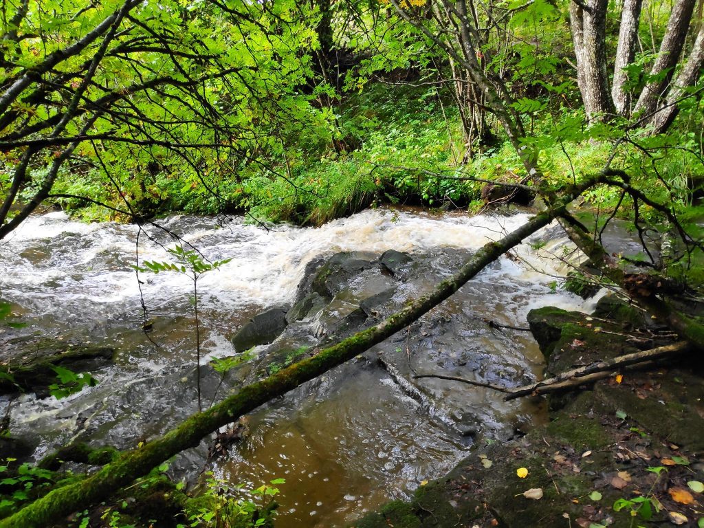
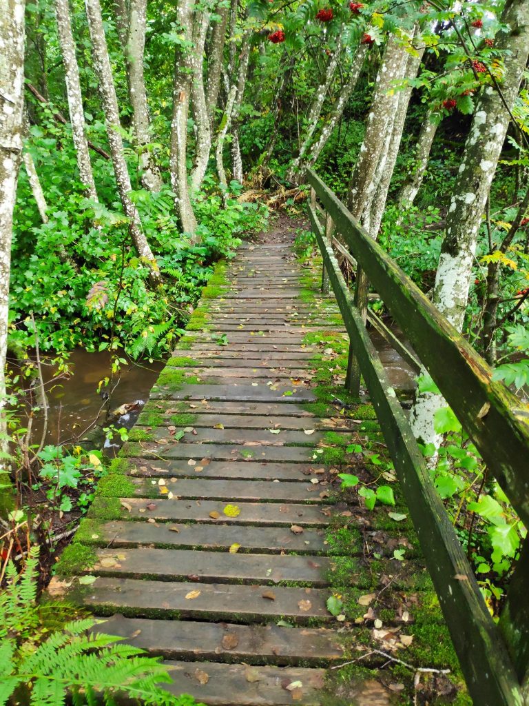
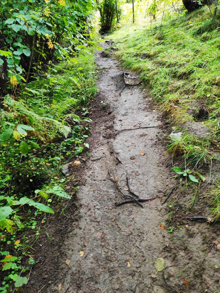
I reacted to the name on the sign, “Storfossen”, the great waterfall. Yes, we have had a lot of rain this week so there was a lot of water in the stream and it definitely was noisy as it journeyed down to the fjord. But I didn’t think it was so very large.Though I wasn’t able to measure the height of the falls, it seemed like about one or two meters at the most. After a week of rain, there was certainly lots of water in the stream.The wooden bridge felt quite slippery, but thankfully there was a railing to hold onto. The bridge is under the trees so it probably never dries out. There was certainly a lot of moss growing on it.A week of wet weather also made the paths a bit muddy. It was narrow here so I felt I had to walk quite cautiously.Suddenly I came out into the open and we were at our goal for our walk for today – Undersåker Bay.There was a picnic table to sit at while we took a well-deserved pause. The tide was out. Low tide had been at 9:12 about two hours before this picture was taken. So the water had already begun to rise.
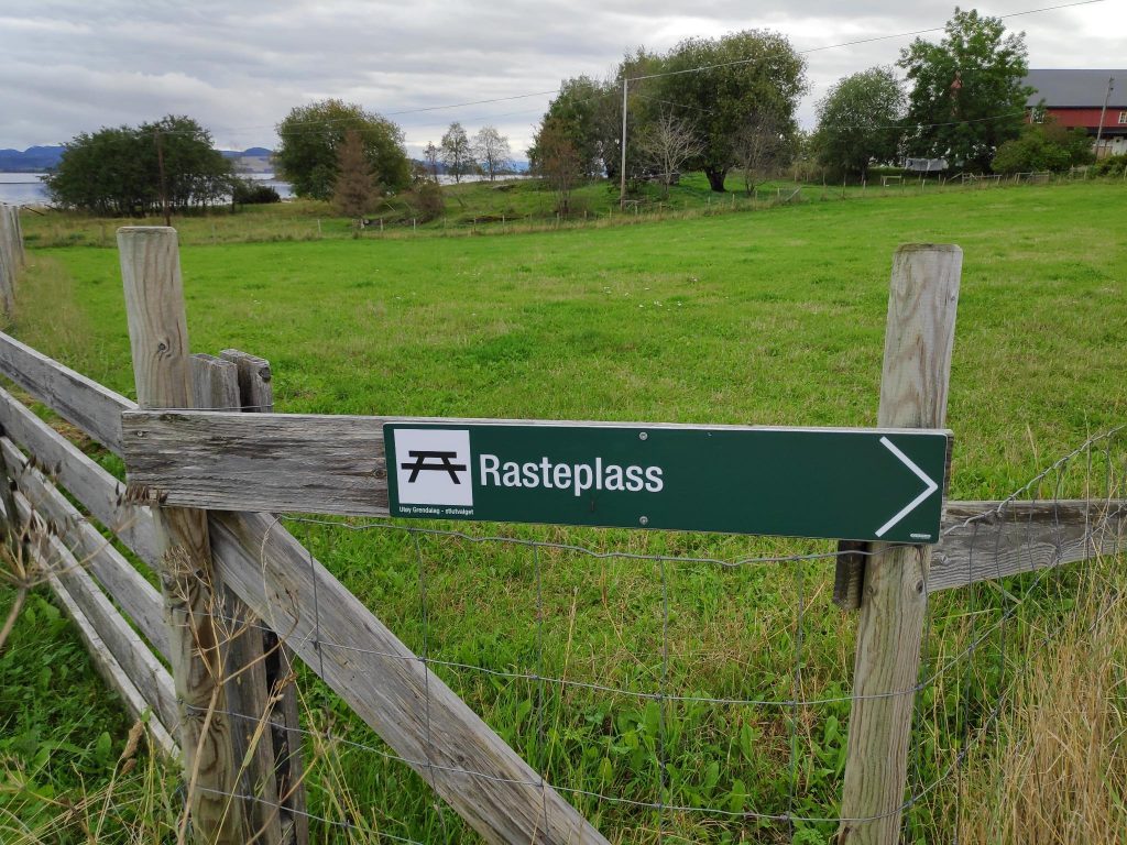
The walk back to the car was just to turn around and go the same way back. We did make one little detour to a picnic place to see what the site offered.
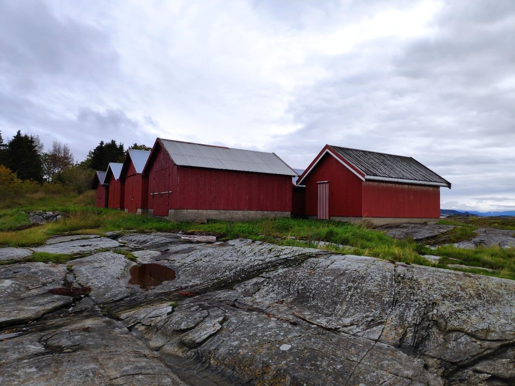
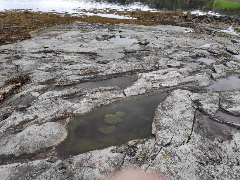
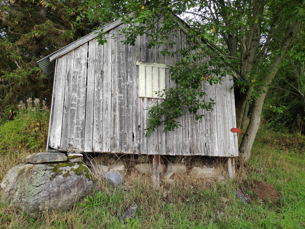
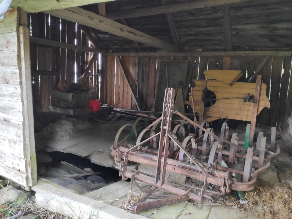
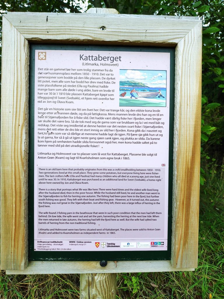
In the background is the farm Kvamsholmen, and we decided to see what the “rasteplass” or picnic site had to offer.At first I thought these buildings might be boathouses, but they did not have easy access to the water, except at high tide. A boat would have to be carried down to the water. As my son explained, the building would be used for storage of things needed for a day down at the water’s edge, a grill, chairs, perhaps a table, and a small boat that could be carried by two people to the water’s edge. They all looked relatively new and in good condition.Undersåker Bay from a different angle. The goal of our walk had been on the far side of the bay, between the green fields on the left and the white house on the right.There were some interesting rock formations here as well.On our way back to the car, I noticed this older building. I notice the combination of stone foundations and wooden piles. The lower edges of the siding were showing signs of having been around for a while. I went around to the side of the building.The side of the building was open and I could see what was been stored inside, though I couldn’t put names to much.But then I found a sign about the building, that is probably from 1850-1910, so well over a hundred years old.
We had a good walk and used about 2 hours from leaving the car to getting back to it. But this also include a sit-down pause at Undersåker Bay and exploring a bit at Kvamsholmen farm. Because the car is parked at a higher elevation, the best exercise on the walk is getting back up the hill at the end of the walk. We were lucky with the weather and that made the walk all the more enjoyable.