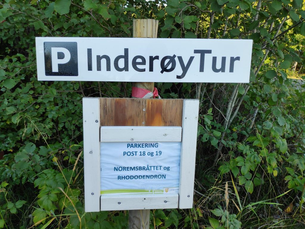
Today’s walk with a girlfriend took us to a place neither of us had been to before. It took a bit to find the parking spot and we then started off from the car in the wrong direction, which just gave us a little bit more exercise.
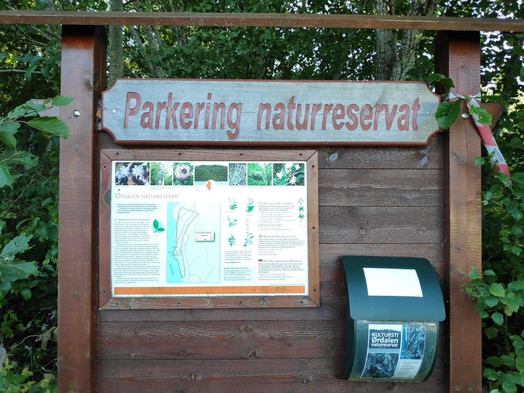
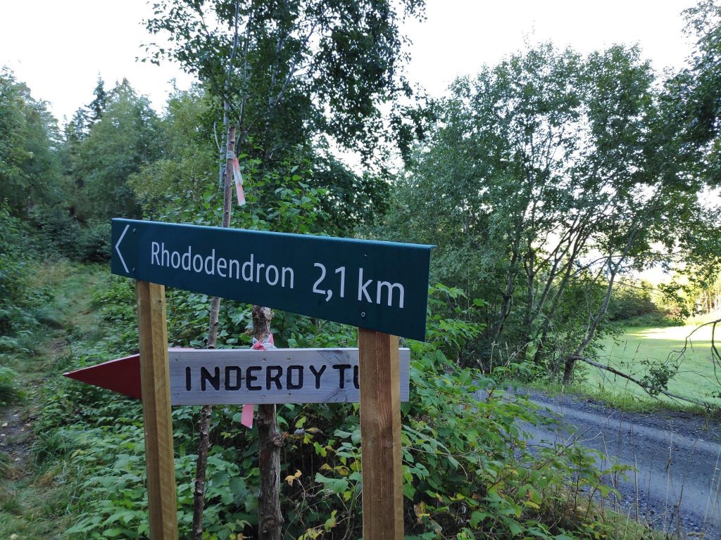
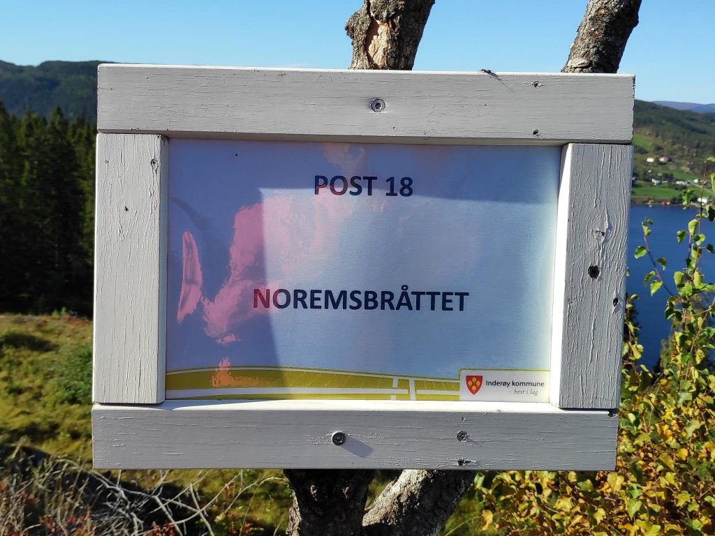
The parking spot for two posts was well-marked once we were there. We will only do post 18 today. Post 19, a large rhododendron is best done at the end of May or June, when it is blooming. You will find that I have written a blog about it in 2020. http://trish.mclellan.no/2020/06/17/inderoy-walk-ordal-nature-reserve/The information board gave information about the Ørdal Nature Reserve which includes the famous rhododendron. We did not walk into the nature reserve but ended up just before the boundary into it. Looking at the map on the board, we are walking at the top end of the map.
The Norwegian word “bråttet” or “brottet” refers, I think, to an area that has been recently cleared of trees. These two spellings would be pronounced similarly, depending on one’s dialect. These terms have been used on the names of two walks this summer, both of which take the walker to a high point with a view as there are almost no tall trees in the way.
We were lucky today with a morning with sunshine, though the temperature was about 10 degrees Celsius in the shade. When we got to higher elevations and were in the sun, I was walking in just a t-shirt.
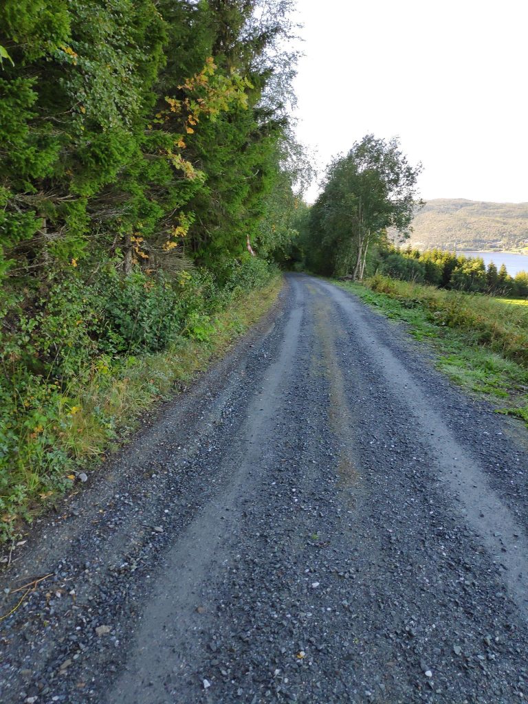
The first part of the walk was along a gravel road. We were walking downhill at the beginning of the walk, which means you get a bit of an uphill climb just before getting back to the car.We were walking in the shade so it was cool. We could also hear the farmer out cutting his grass and we had actually seen him when leaving the car.But we didn’t walk that far downhill before we came across signs telling us to head into the woods. Another time I would like to go the whole way to the Rhododendron, just to see how to get to Noremsbråttet from the other side of the hill. My telephone tells me that at home, Noremsbråttet is only 3 km away, though that would be in a straight line and trails never go in straight lines.
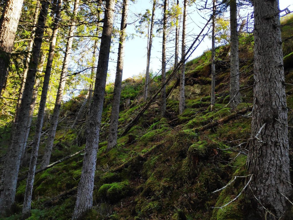
The walk, as usual, took us up and down slopes. Though on the trip to Noremsbråttet it was primarily uphill, we both experienced that there were uphill sections on the way back to the car as well. The area we were walking in today is on the side of the hill on the east side of Skarnsund where the slopes are quite steep.
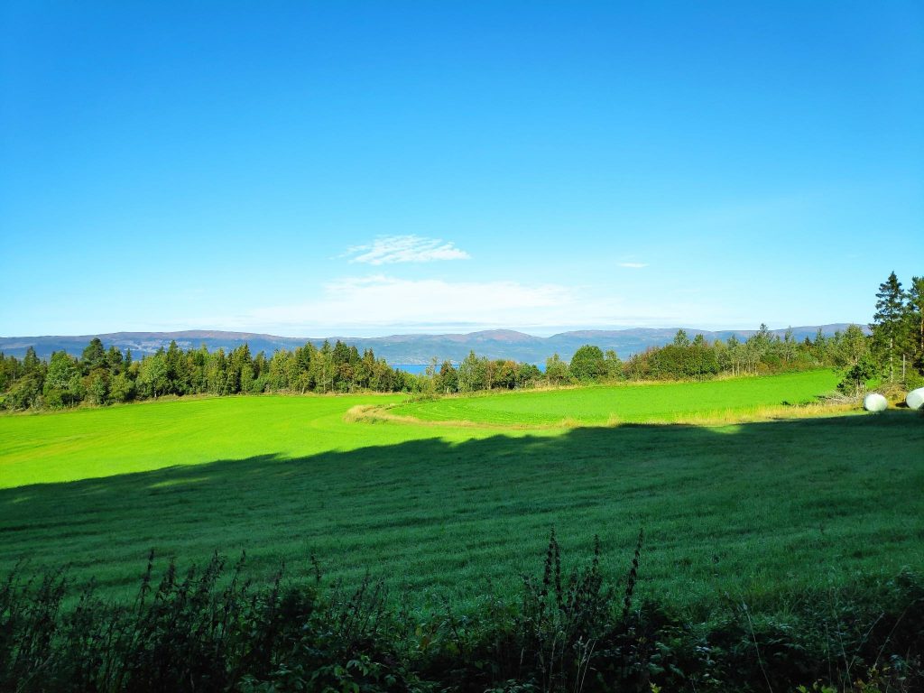
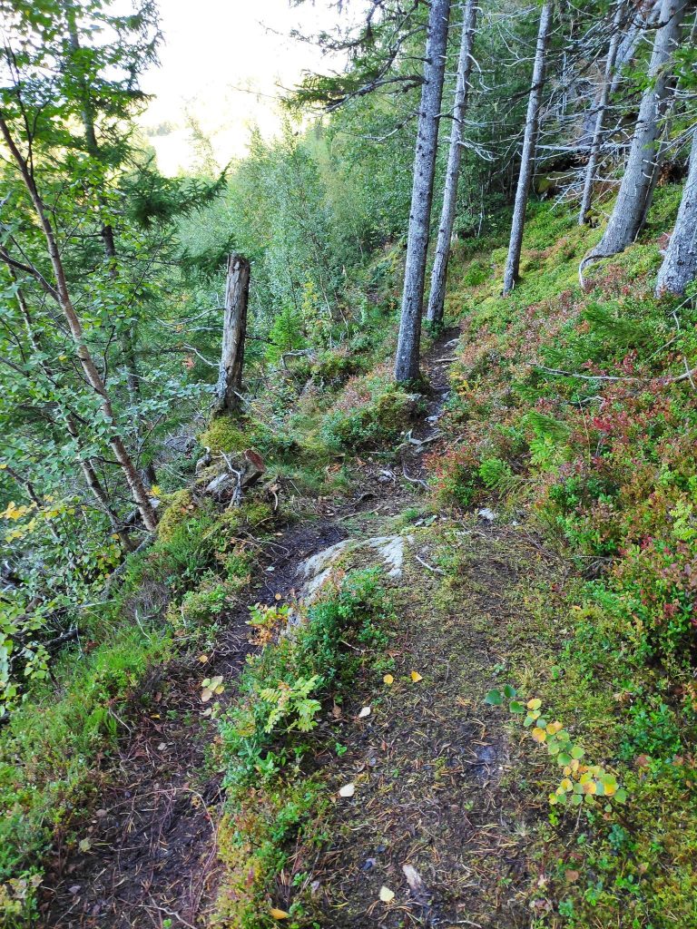
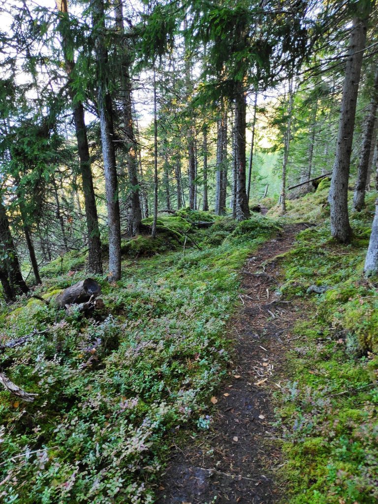
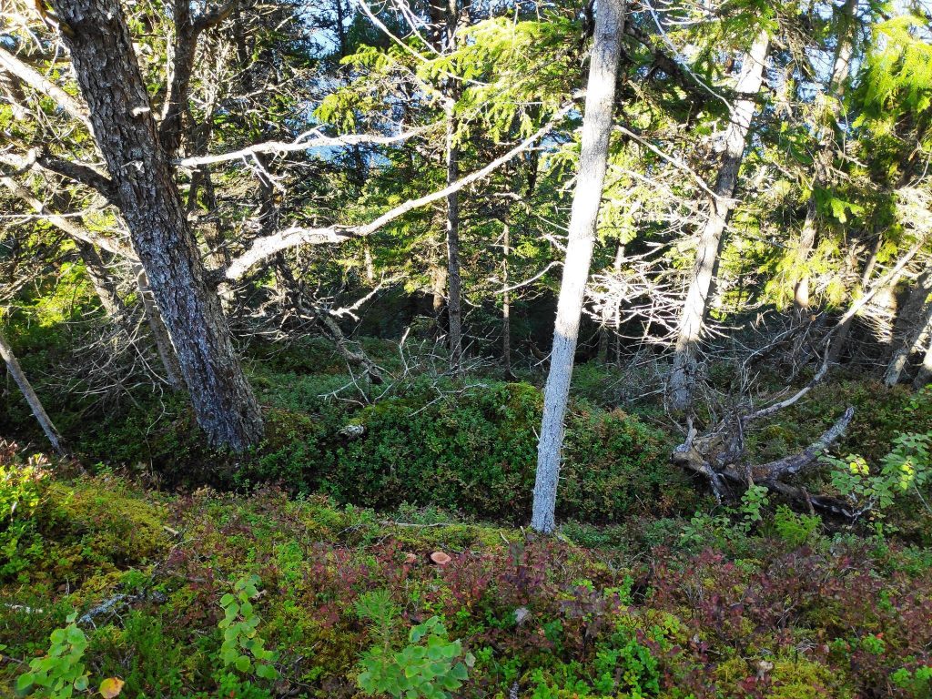
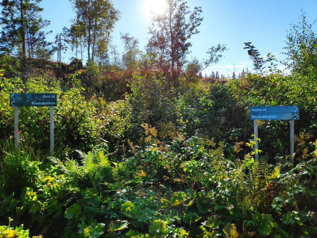
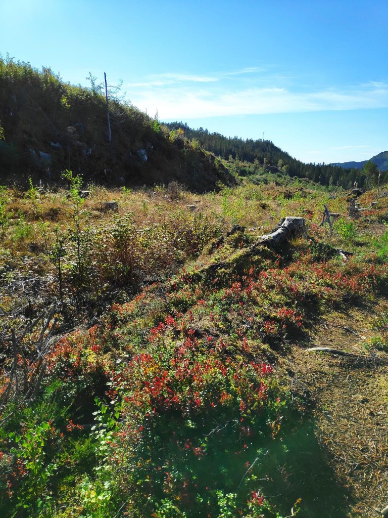
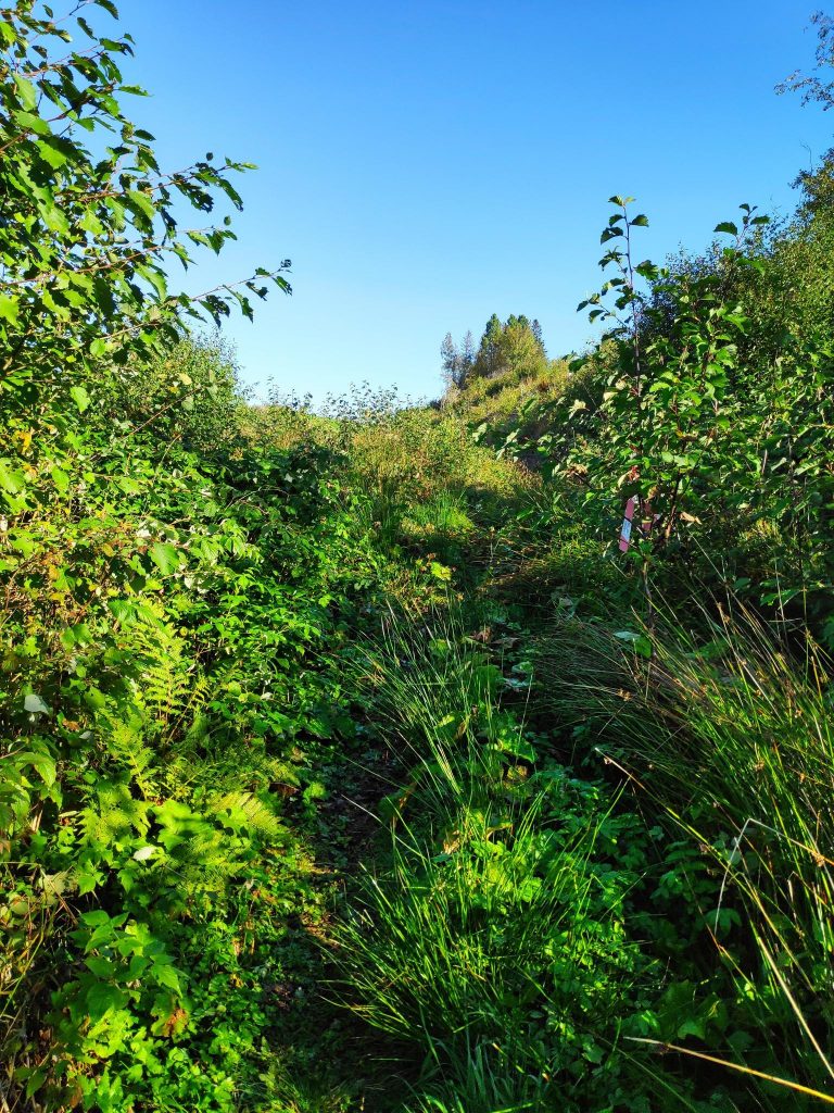
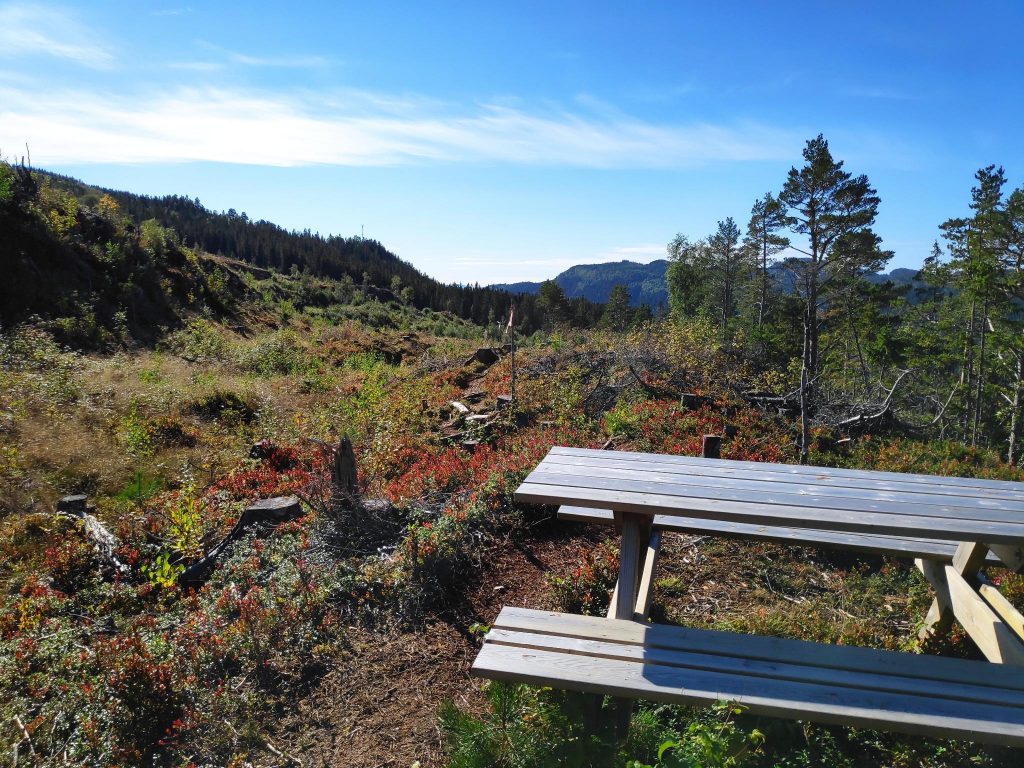
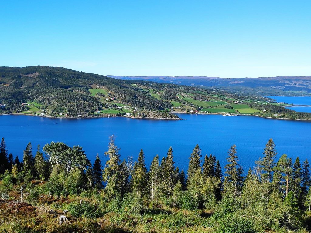
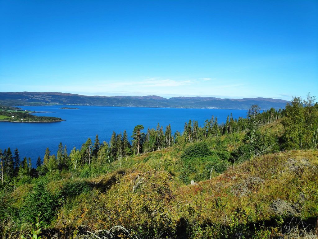
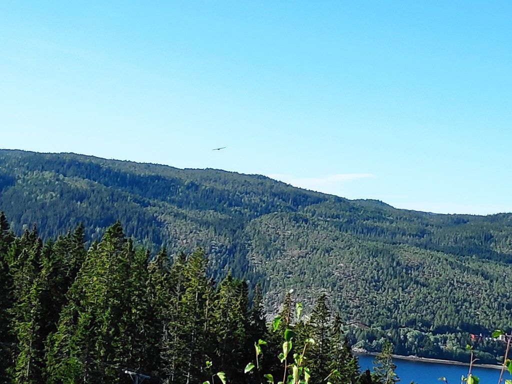
Here is an example of the trail we were following. It is narrow and in places it was quite damp. We had a lot of rain last week and most nights there is quite a bit of dew. This picture is taken looking back from where we came.Though the trail was easy to follow and was marked well, it was not a very well-worn path. This trail is a bit out of the way, even for people living in Inderøy. Most of the human traffic would be in May or June when the rhododendron was blooming. By September, there are signs that many plants are getting ready for the winter ahead.Looking up the slope, you can see how steep it is on this side of the hill.Looking downhill the slope looks even steeper. But at this point along the trail there were lots of trees clinging to the side of the hill.We were now up high enough to get a bit of a view, but there were still quite a few trees obstructing the view. Here we see Framverran on the west side of Skarnsund.I knew that there were two trails to the rhododendron and this was the divide. We took the upper trail (“øvre sti”). The lower trail (“nedre sti”) to the right looked very unused and overgrown.Then suddenly we came out into the open and got some sunshine. Here you can see that the blueberry plants are going red and loosing their leaves. There were still lingon berries (“tyttebær”) to be found. Now it felt like there was a bit more level ground and the path continued straight ahead and we stayed in this open area the rest of the way to our goal.Then we climbed a bit more.We came across a picnic table. It looked quite new, but this wasn’t our goal. We still had to cross another few hundred meters and on another rise we found our goal. The dark band of trees in the distance would be primarily spruce trees and I think that they would be in Ørdal Nature Reserve. We didn’t go that far on this walk.We made it! Another 30 points on our app. My friend and I walk about the same amount so it is fun to find out how many points she has. She is a little ahead of me at the moment.The view was spectacular. We are looking across to Framverran on the Mosvik side of Skarnsund.Looking northwards to the hills of Steinkjer. No snow yet, but those hills will be some of the first ones to get snow in our area.The highlight of the pause at Noremsbråttet was watching the eagle soaring in circles and almost never having to move his wings. I didn’t feel that there was any wind where we were, but the steep slopes will give up-drafts that allow birds to soar. It was very difficult to get a good picture of the eagle as he was just too far away. At one point he came a bit closer to us, and a small flock of small birds hastily moved from one group of trees to another group considerable farther away from the eagle.
This is a walk that I would recommend. There are steep bits where one needs to hold on, but they are quite short. The view at the top is beautiful on a sunny day. There was a picnic table to sit at while taking a pause before heading back. We used about half an hour each way, so about an hour’s walking.