Today, my girlfriend and I went for our usual Wednesday walk and we chose a walk we had not taken before. The walk up to Åsbrottet was a new Inderøy walk this year and neither of us had taken it before. I enjoyed the walk and we had some surprises along the way.
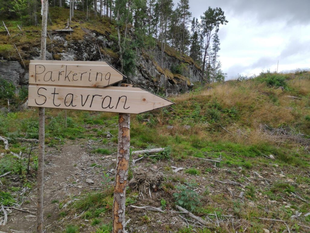
The information about the walk told us where to park our car and that the walk was 3.5 km long and would take us in a circle. We used about one and a half hours which included time to enjoy the walk, take lots of pictures and enjoy the views. We parked at Stavran, near farm buildings.
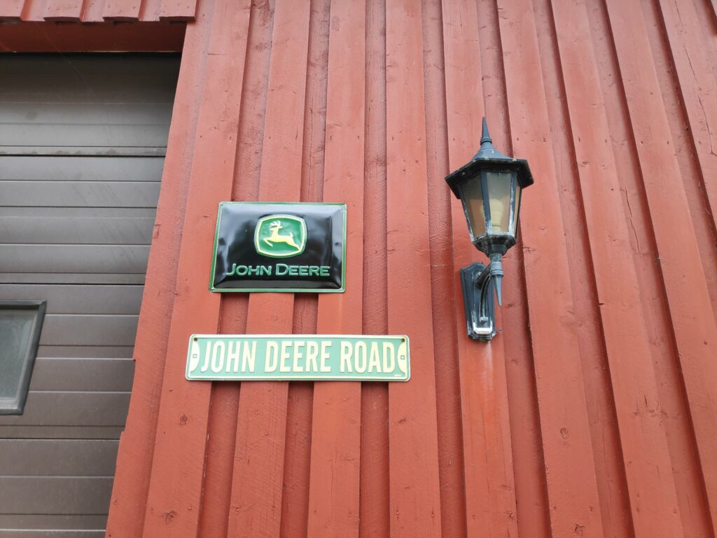
I think the farmer at Stavran uses John Deere tractors.
The trail
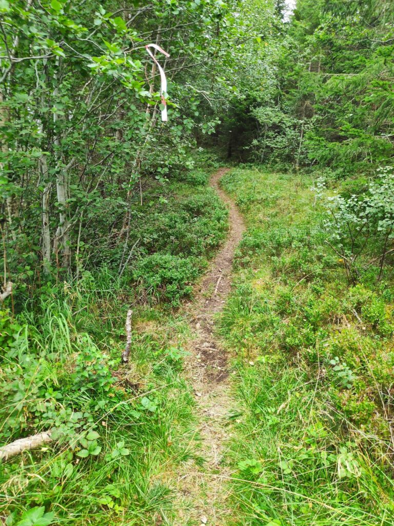
This was a newly marked trail this year and was well marked. There were only a very few places where we wondered where the trail went. There were many trails leading off the main trail, and I discovered that this was because we came back a different way than we went up the hill. (Of course, we were climbing a hill!)
I am going to show you some of the pictures from our walk, but not always in the order that they were taken. There were some very steep climbs, as we climbed up about 100 meters to the check-in point at Åsbrottet. There were pleasant areas in the trees and therefore out of the wind. There were a few areas where my hiking boots got damp, though that could have been mostly dew from the grass, but there were obvious signs that some areas would get quite muddy when it has be raining.
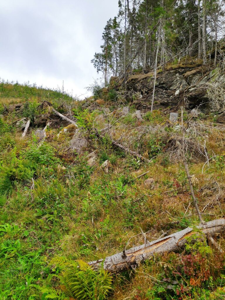
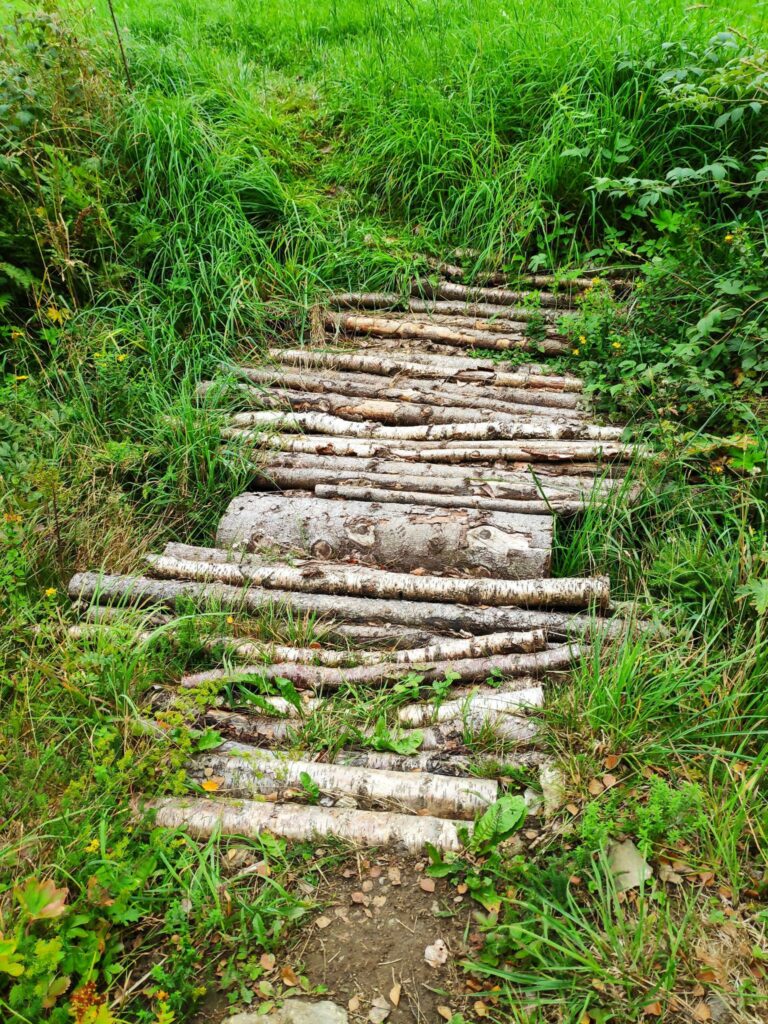
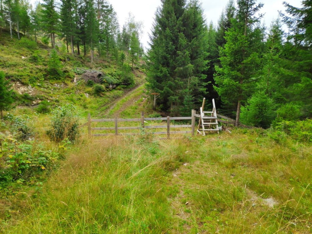
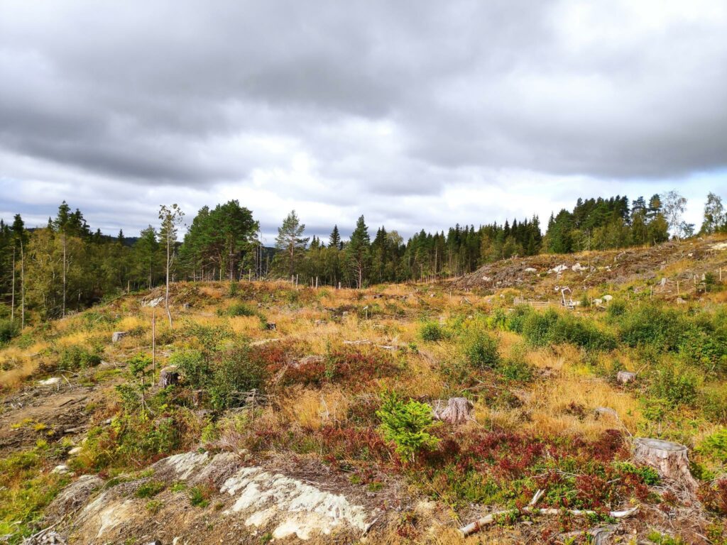
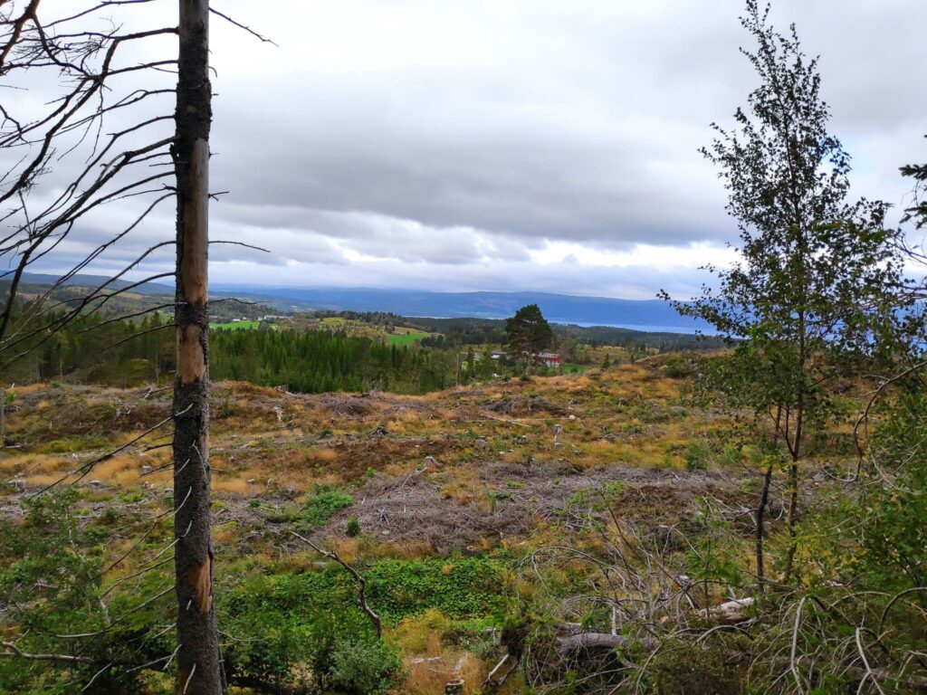
A lot of the walk was in fairly open areas, relatively recently logged. On this section of the trail we had quite a steep climb.Someone (or perhaps many people) had done quite a bit of work to make it a good trail, especially where there were damp or muddy sections.Some parts of the trail were through woodland.Most of the trail was quite easy to follow. This section looked like it had been around for quite a number of years, so not all sections of the trail were new.Twice we had to cross a fence and both times there were very good stiles to cross. The advantage of a stile is that the farmer doesn’t have to worry about hikers leaving gates open and cattle and sheep getting out of their pasture area. My girlfriend said that stiles over fences were quite new in Norway and certainly not very common. On the far side of the fence in the picture there had been large animals grazing, though we didn’t see any today.
The views
I always love walks where we get up high enough that there is a view over the trees. Living in a farming area, there is always the challenge of figuring out which farms one sees in the distance.
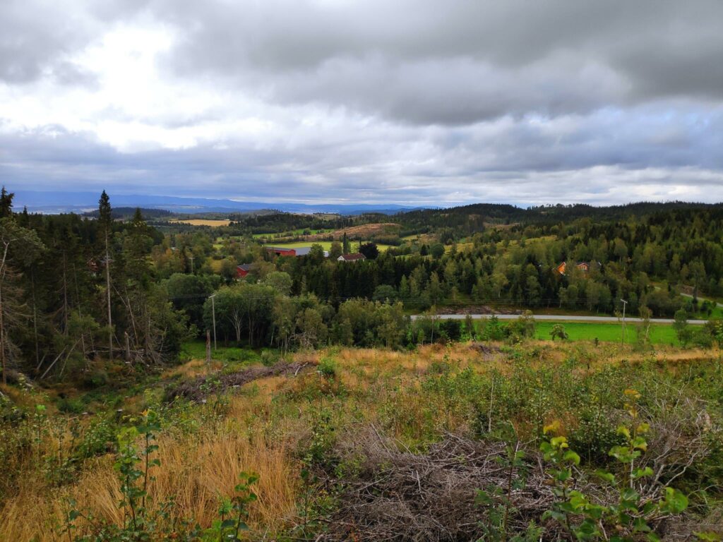
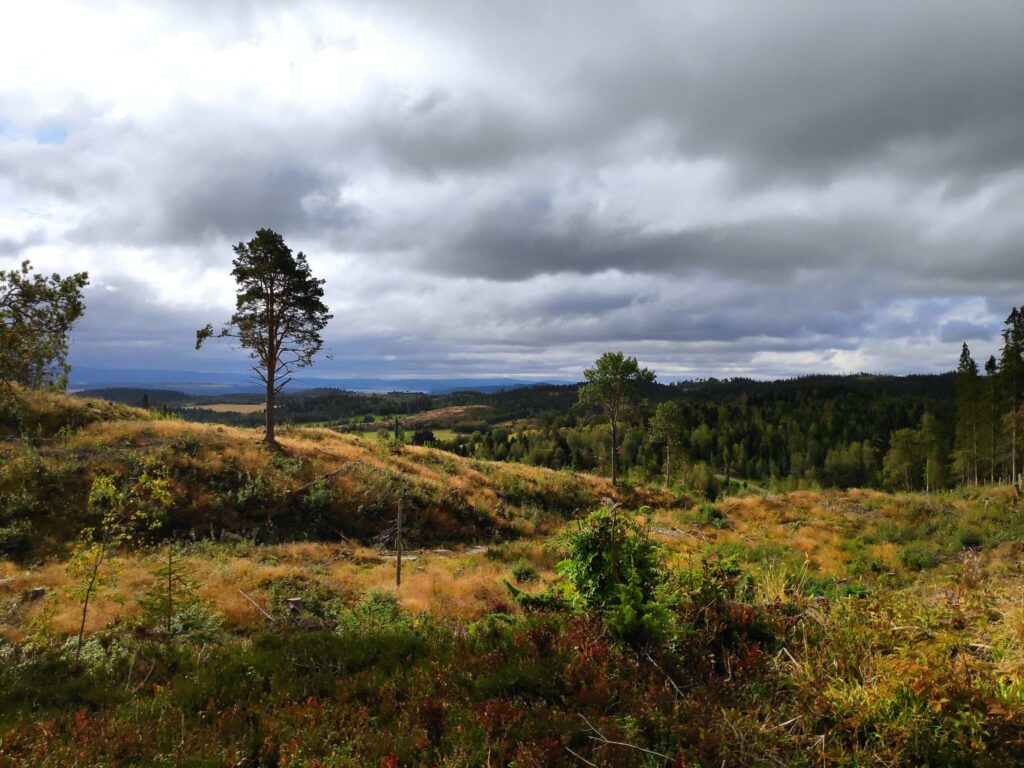
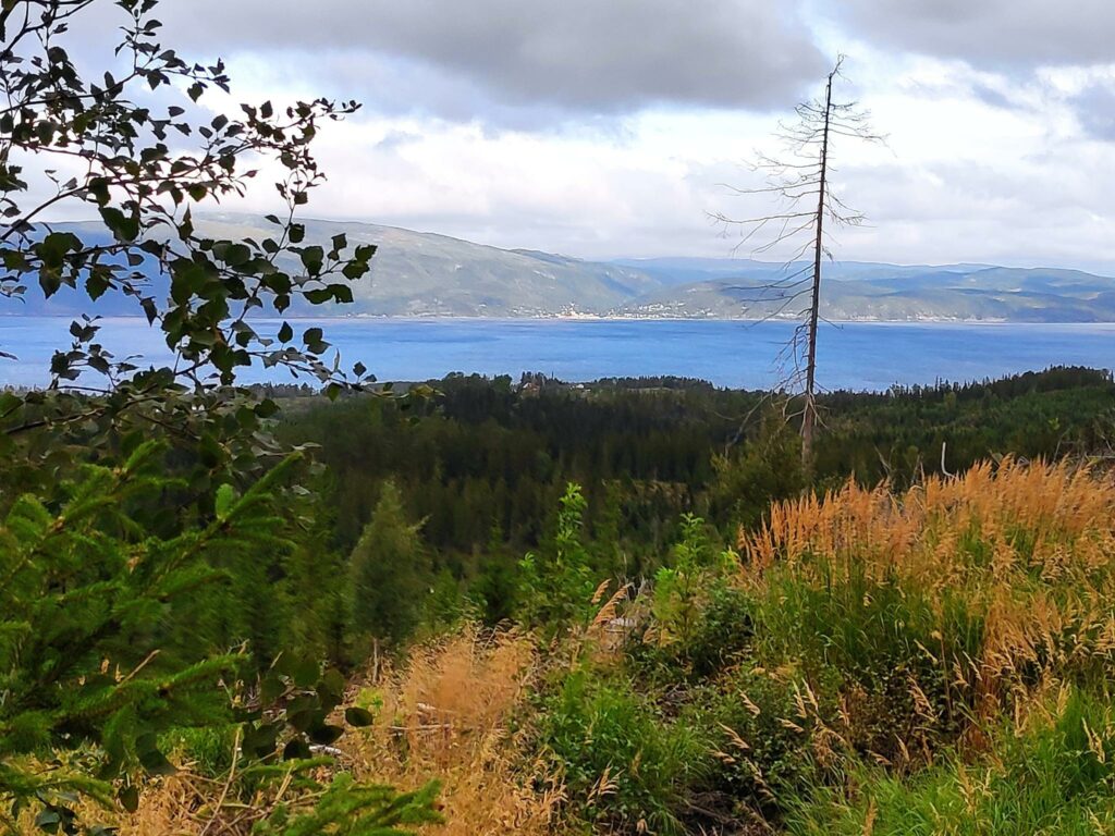
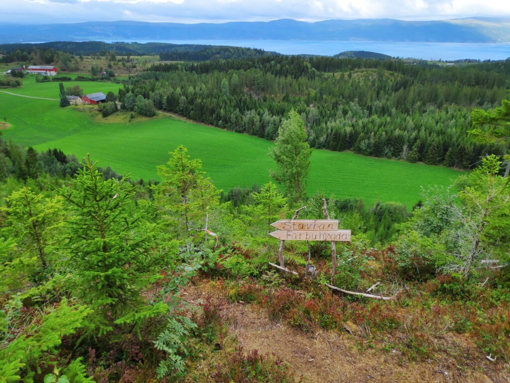
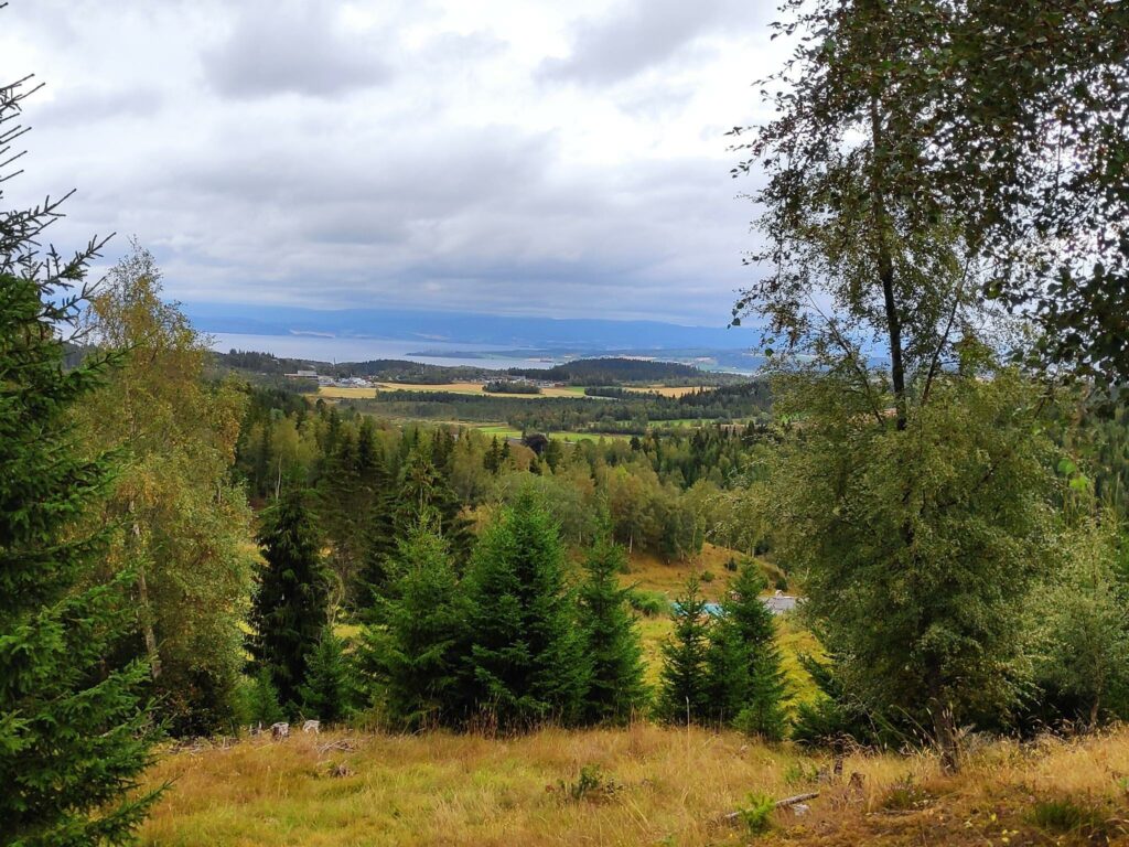
Having started at Stavran and having climbed the first steep section, we could see back to the road, farms in the distance and even farther away would be Levanger.A lot of the area we were walking through was quite open. The sky looked threatening in this picture, but we had no rain on our walk. In some places it was a bit windy, especially when out in the open, or on a hill top.This area had been logged a few years ago, but I’m not sure how long ago. Small plants and trees were starting to grow again. In the background you can see the forest that still exists.Eventually we got up high enough to see northwards towards Beitstad Fjord. The walk was getting very promising at this point.Follafoss on the far side of Beitstad Fjord, taken from Åsbrottet, the highest point of our walk.Looking towards Stokkan with Beitstad Fjord in the background. Notice the signs that tell us what is in that direction. We decided to walk to Farbuhøgda on our way back to Stavran.Looking south towards Trondheim Fjord, Utøy, Ytterøy and Levanger
The signs
When getting around an area one has not been hiking in before, one has to rely on the markings and good signs. On this walk, the signs were new and the different directions were marked at critical points.
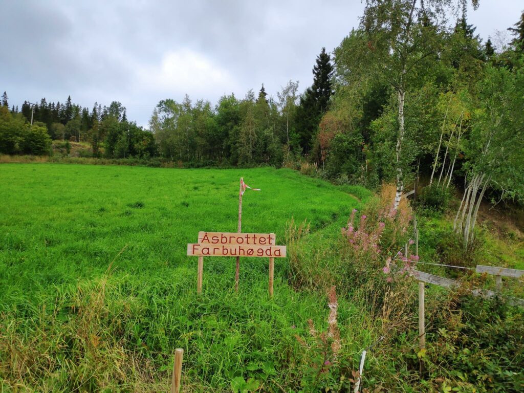
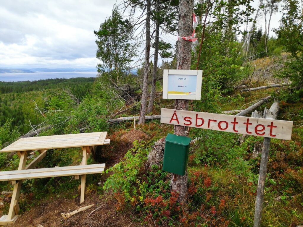
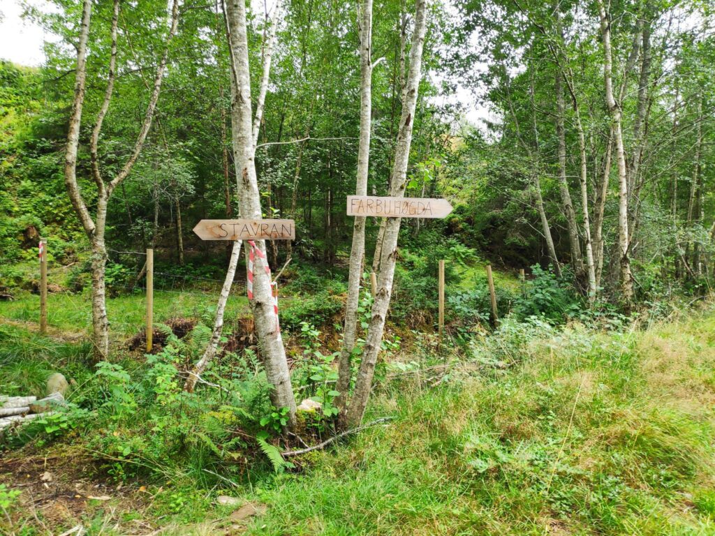
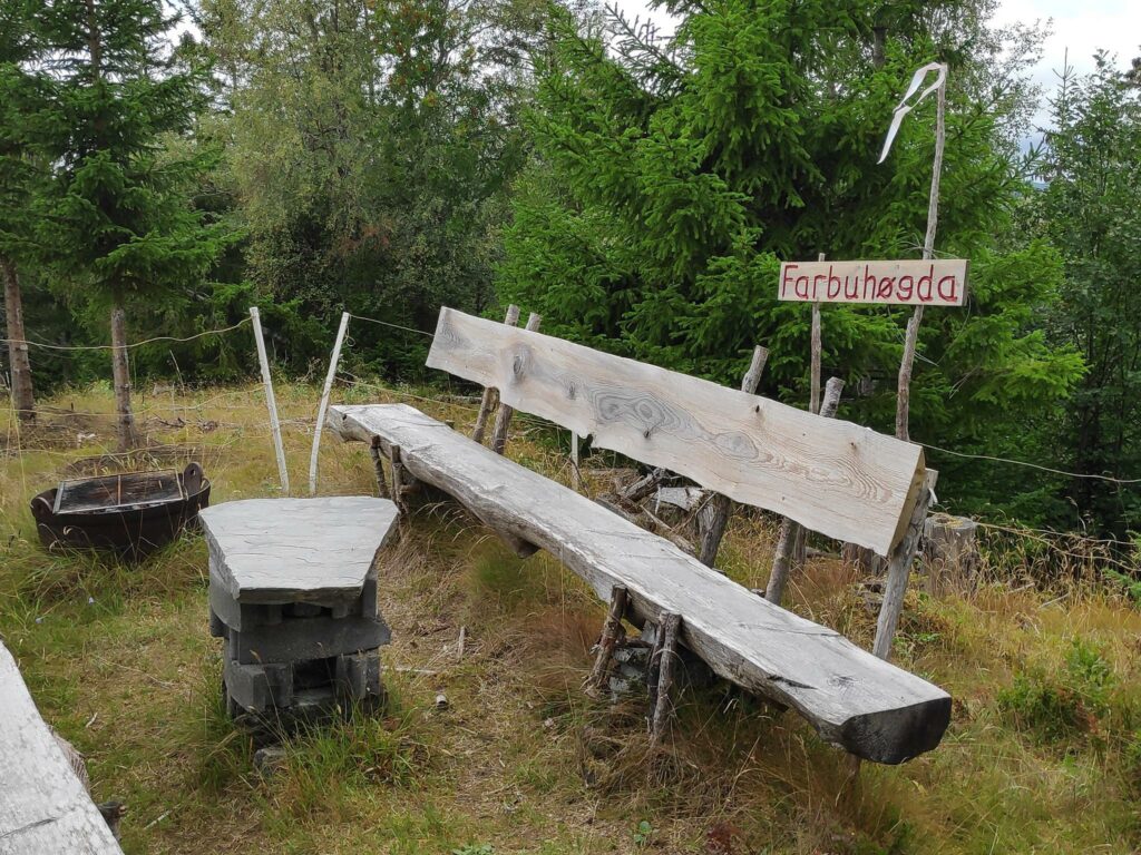
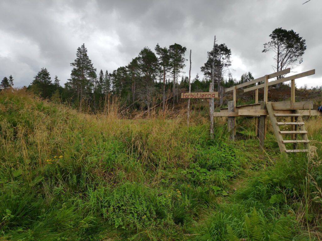
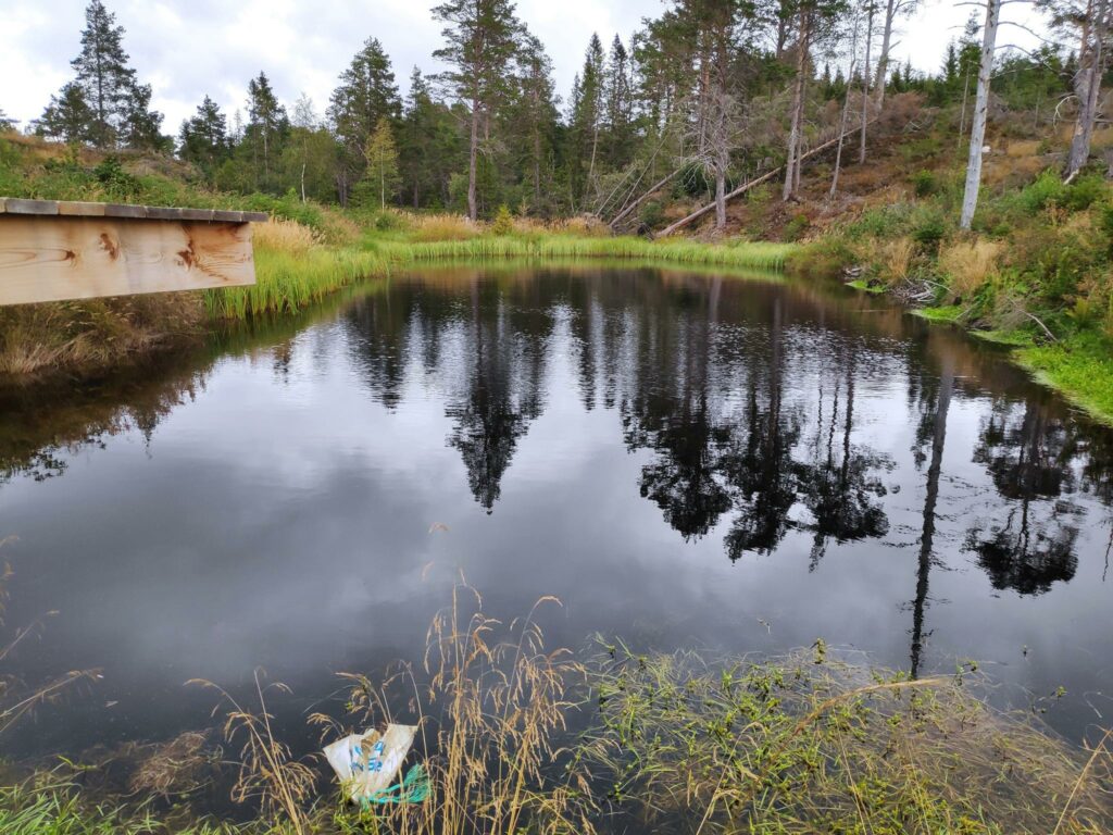
The first sign tells us that there are two places we can get to on this trail, Åsbrottet, which is where we get points for a walk, and Farbuhøgda. (Høgda = high point)Åsbrottet was well marked and this is where we got our points. There was even a table to sit at to enjoy the view. It wasn’t really warm enough to sit today and there was also a wind blowing at the top that, though it kept the insects away, also encouraged us to keep on walking.As always, there are choices. We chose to go to Farbuhøgda, before returning to the car at Stavran. One could have a shorter walk by going directly to Stavran from here.Farbuhøgda had a grill, table and two benches to sit on. There was a fence around it, presumably to keep grazing animals and their excrement away from the picnic area.We came across this diving board into a little tern, Farbutjønna.It wasn’t a very big tern, but it must have been deep enough to dive into. Note the plastic bag in the foreground, which is tied to a rope which could be used by a swimmer to pull themselves out of the tern. The edge of the tern did not look like it was easy to find solid footing.Now it was time to go back to the car, though by following the path in the direction indicated, we walked farther than if we had just gone straight ahead which is where we had come up. It was longer, but not nearly as steep.
We both enjoyed the walk. It was cool enough (14 degrees Celsius) to enjoy the climbs without attracting a lot of insects. The breeze kept us cool and the insects away too. We used about 90 minutes and felt we had had some good exercise. This is a walk I would like to do again, but I have to do it early in the day when I have lots of energy.