
On Wednesday, the 28th of July, the three of us got out of the house for the day. We left at 10 am and got home at 7 pm. We drove about 300 km and enjoyed a warm sunny day, mostly in our air-conditioned car. However we did get out of the car several times and a couple of walks were included.
First we drove to the city of Trondheim (a two-hour drive) where a piece of used computer equipment was purchased from a private person. We then used the rest of the time to drive home a different, very indirect way.
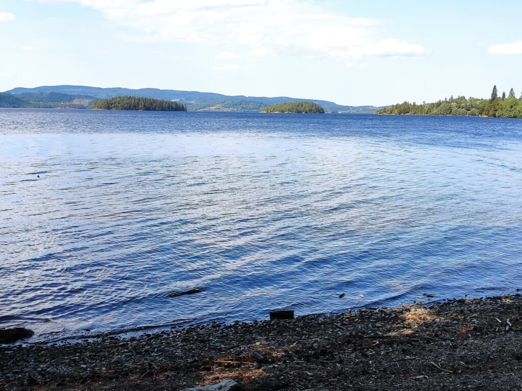
Jonsvatnet, Trondheim
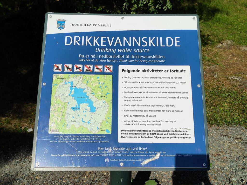
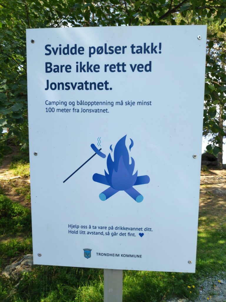
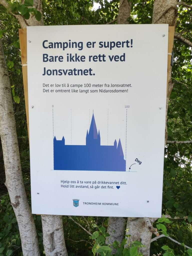
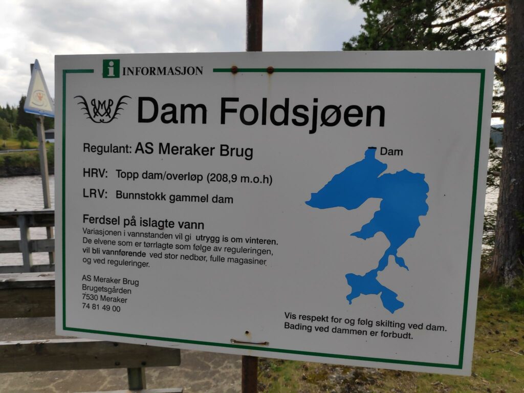
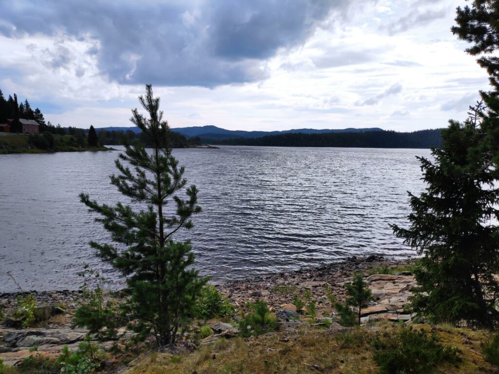
Trondheim is a city of about 205,000 people and is the third most populous city in Norway. It’s main source of drinking water is a lake called Jonsvatnet which is 8 km long and has a maximum width of 4.5 km. It’s surface area is 14.3 square km and its surface elevation is 150 meters above sea level. Maximum depth of the lake is 94.4 meters, and the volume is 505 268 million cubic meters of water. (Source: NVE Atlas). The lake is also used as a source of water for the production of electricity for the city of Trondheim.
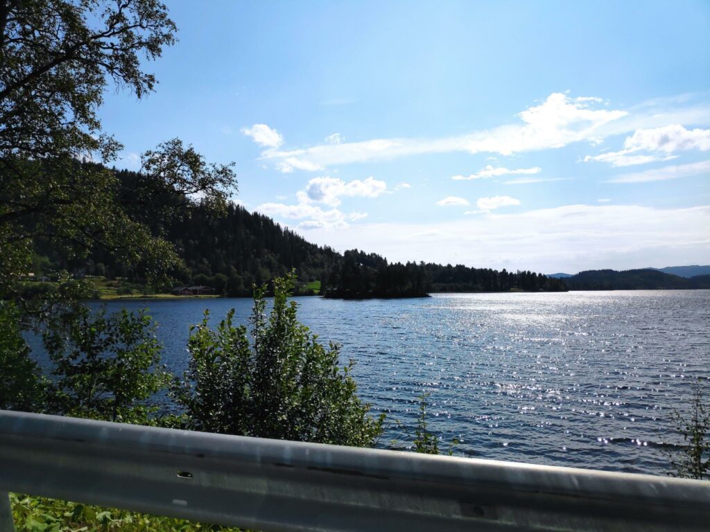
The lake lies in a north-west to south-east direction and we followed the road along the north-east side of the lake. We made one stop on the lake to get out and stretch our legs. The weather was sunny and the temperature was about 26 degrees Celsius. As this lake is a source of drinking water, it was interesting to see the signs posted at this lay-by.
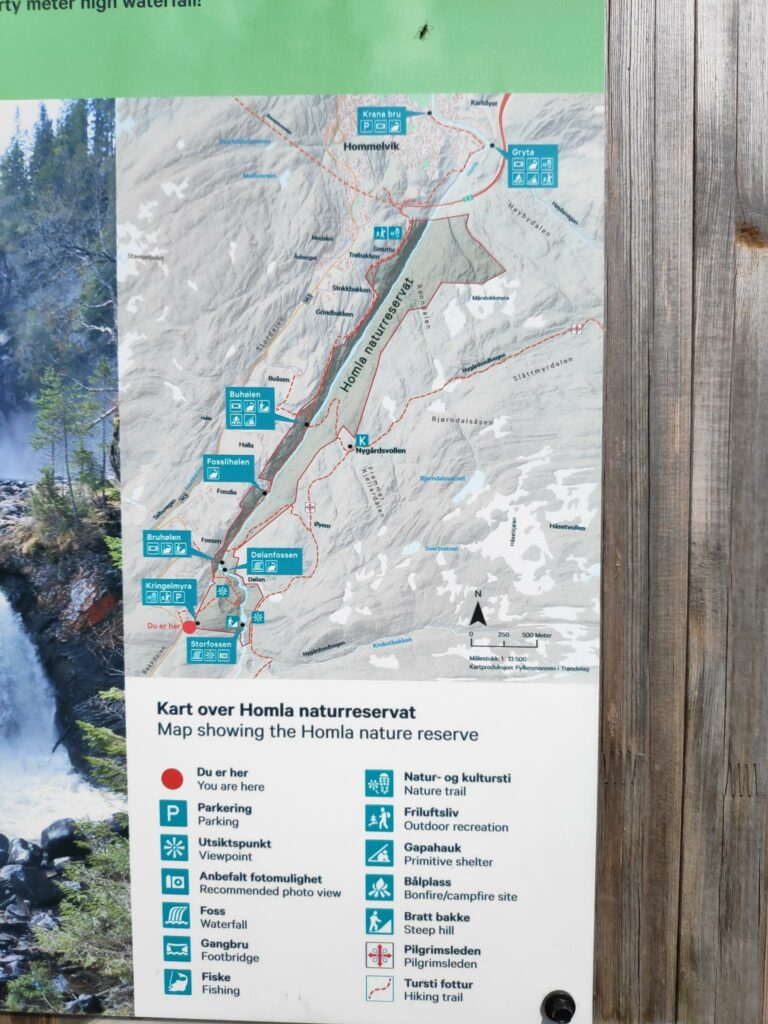
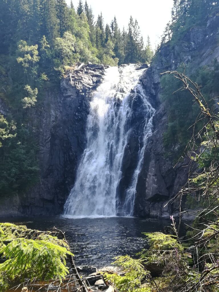
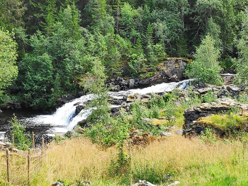
Storfossen
The Homla River, which flows from Fold Lake to Trondheim Fjord, has several waterfalls on it as it descends to the fjord at Hommelvik. We found a parking place for walkers to access one of the waterfalls, Storfossen (literally, the large waterfall) which has a fall height of 40 meters. This waterfall is located in a nature reserve, Homla Naturreservat, which was set aside in 2015, to protect the river’s valley and the nature within the valley.
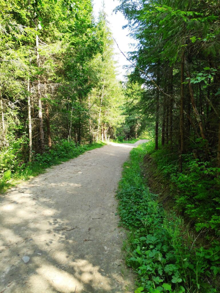
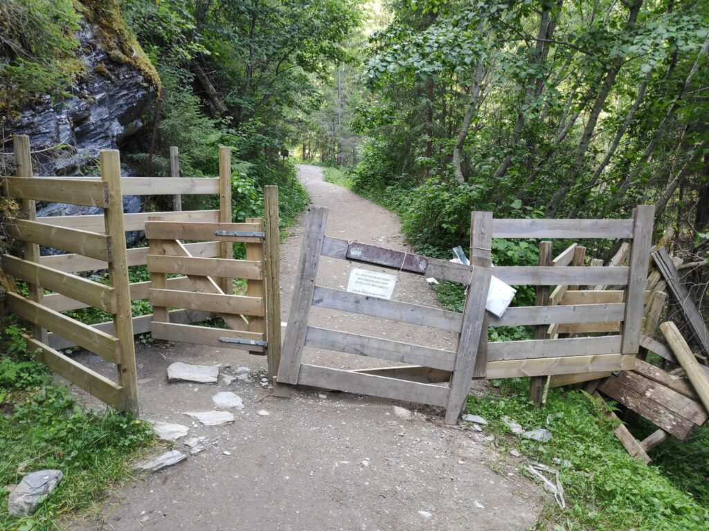
The two older people on the walk, found that it got a bit difficult after a bit, partly because of the heat, but the younger person was able to get to the viewing point of the falls.
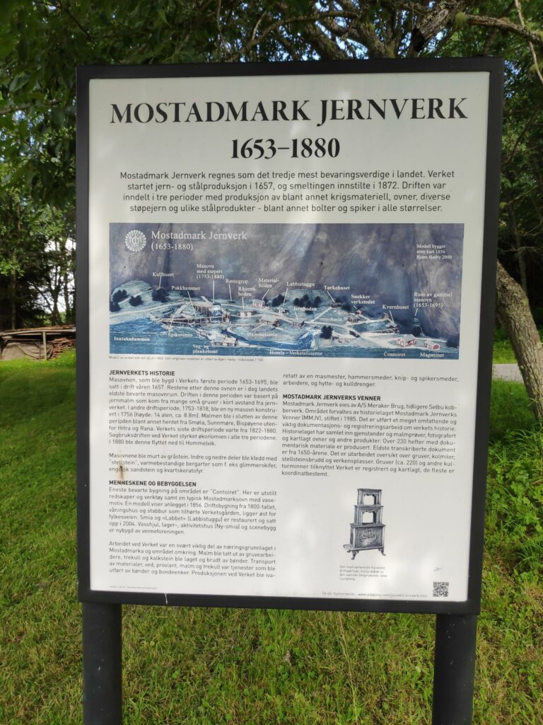
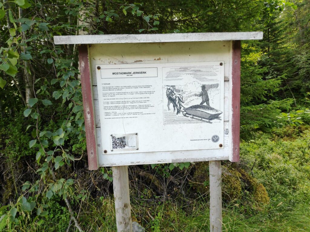
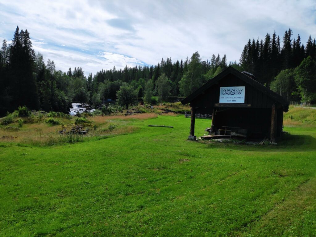
Mostadmarka Jernverk /Iron works
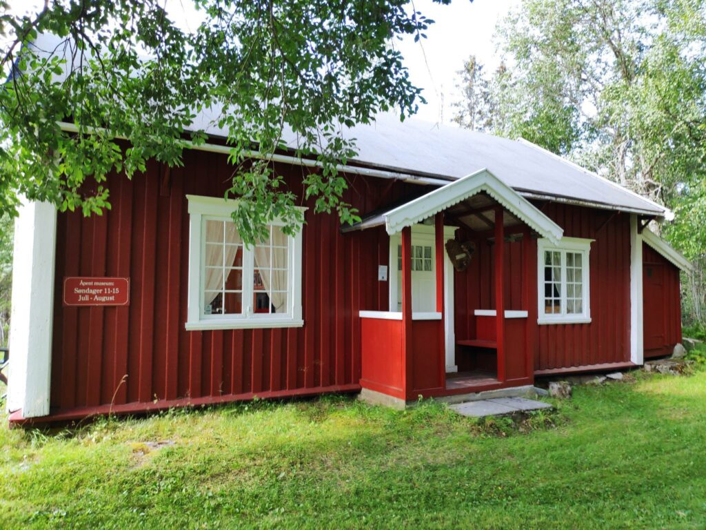
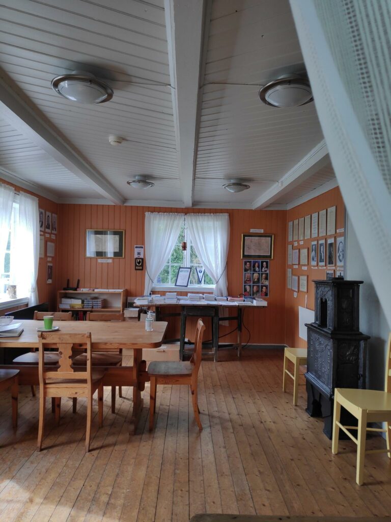
We went back into our car and continued our car trip. The next stop was Mostadmarka Ironworks which existed from 1653 to 1880. Initially the Iron Works would have used iron ore found locally, though in later years it would have had to been brought in from other parts of Norway. They produced iron and steel products including wood-burning ovens, war materials, bolts and nails.
The museum was not open the day we were there, but we were able to wander around the area and peek into windows. More information about the Mostadmark Iron Works can be read here in English.
As we walked around the museum area we saw the Homla River, tumbling down the hillside. This would be the same river as falls down Storfossen.
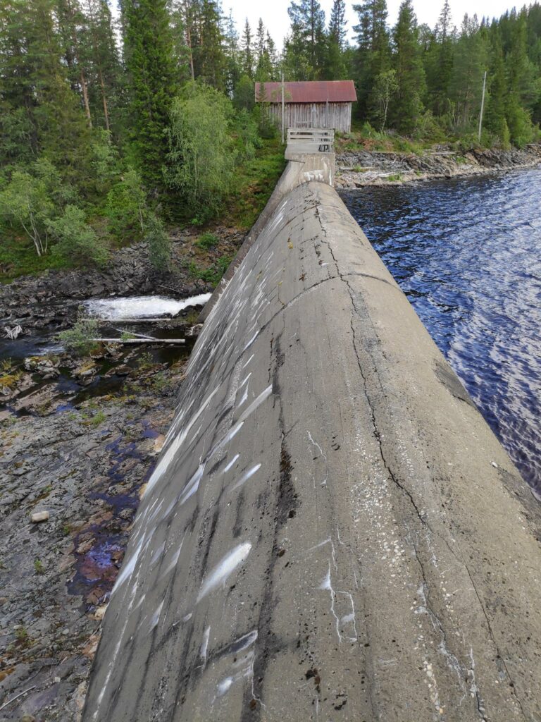
As we walked up the hill behind the museum area we came to a dam and a lake. The dam was built in 1900 and is used to create the lake.
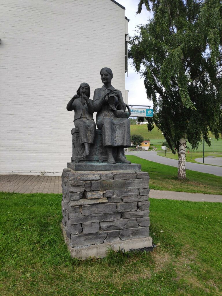
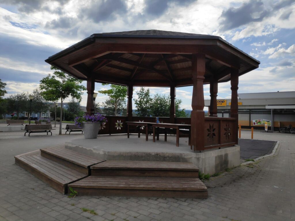
Selbu
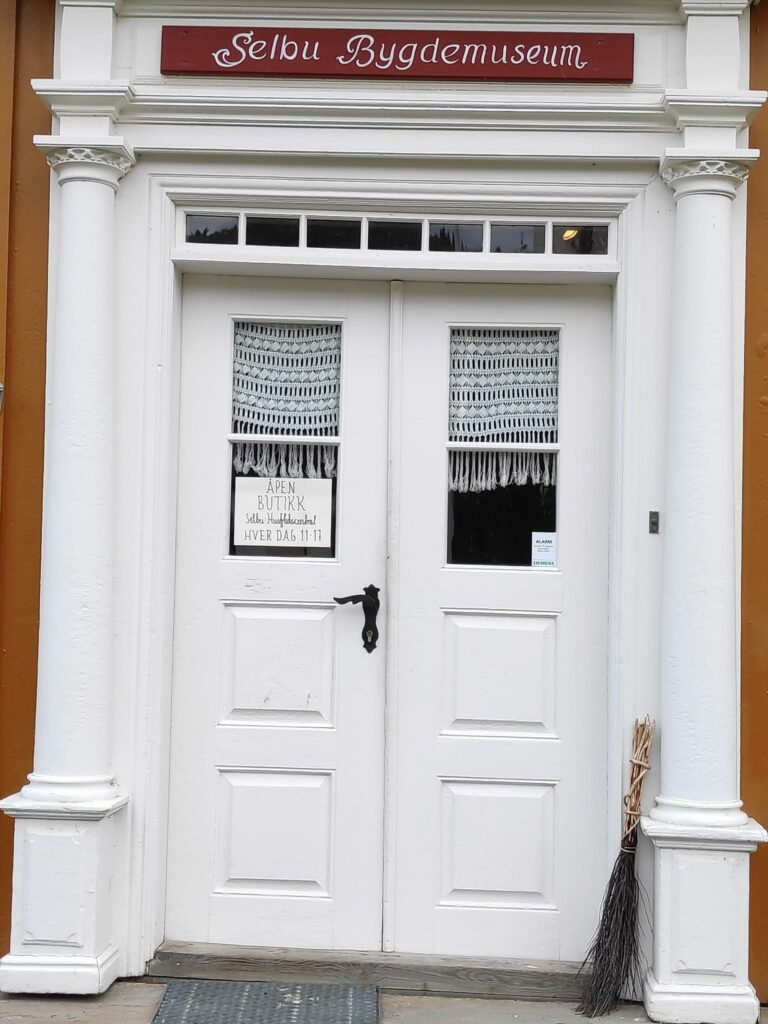
From Fold Lake we drove to Selbustrand where we drove along Selbu Lake to the center of the municipality of Selbu. It was now about 3 pm and time for us to have a meal. The village has a nice center with everything within easy walking distance. We found a restaurant and had two pizzas for dinner. After dinner we walked around and found the old people’s home, the municipal hall, the church and the museum.
Selbu is known for pre-built wooden houses, called Selbuhus, made in local factories and then assembled on-site. We drove by the factory as we were looking for a place to eat.
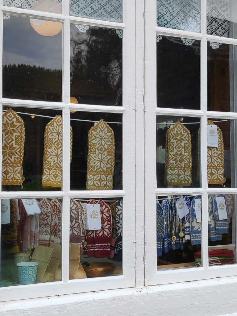
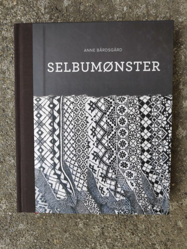
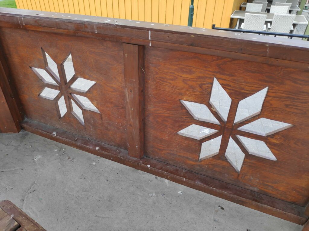
Selbu is also known for its two-color knitting patterns and here I was particularly interested. There was a small store in the local museum and I was fascinated by the displays in the windows.

I have only been able to show you some of the pictures that I took on our trip. It was interesting for us to get away from the house for a day. We were out for nine hours and saw quite a few new places. I am always glad to get home after a lot of driving, but I felt we had had a good day. I hope you have enjoyed seeing some of the things we experienced.