
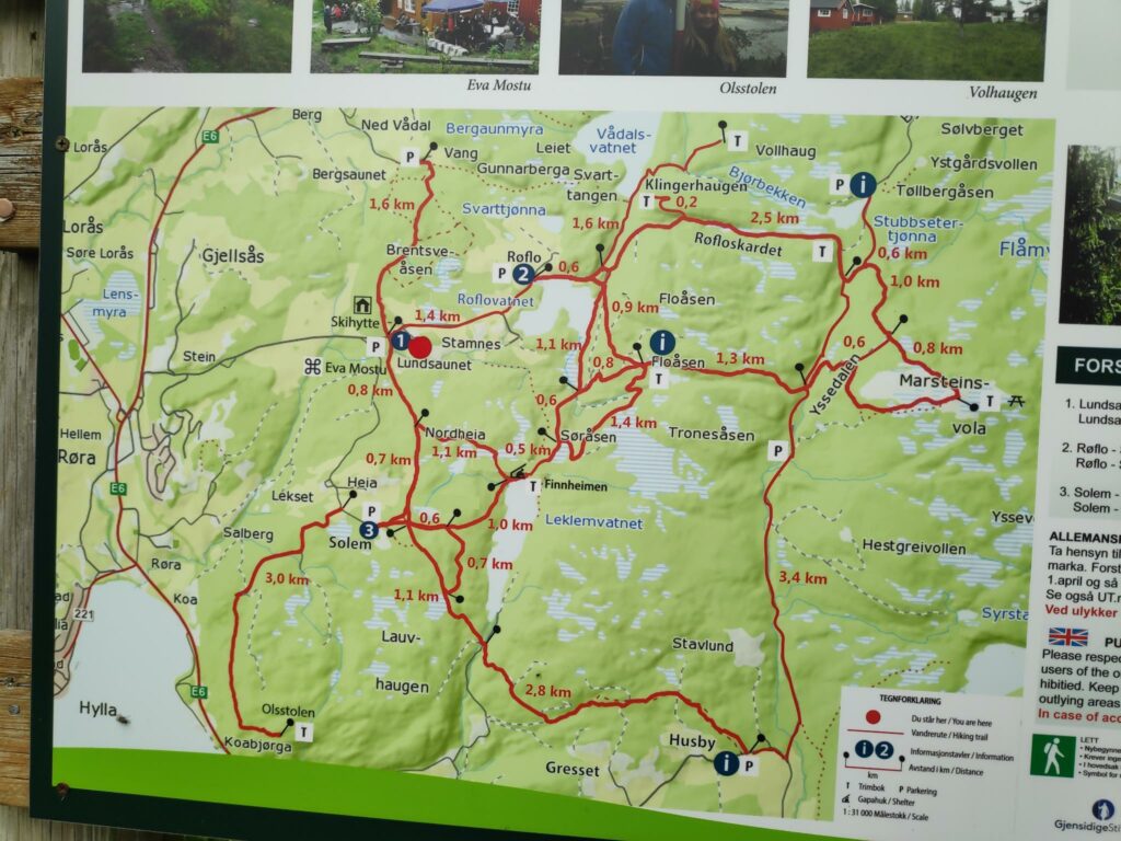
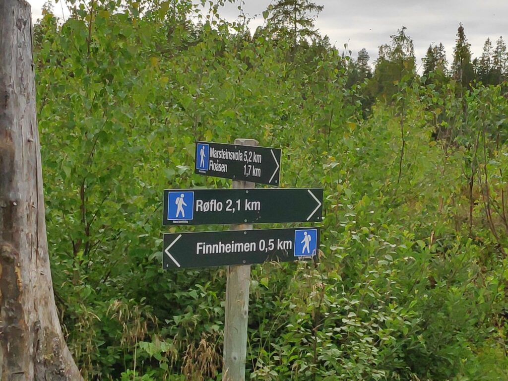
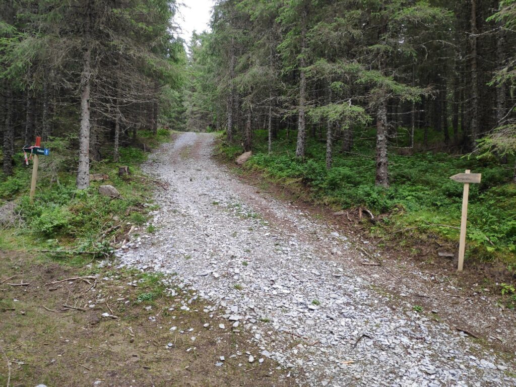
On Friday this week, my girlfriend and I went for a walk in the hills of Røra. The first goal of our walk was Finnheimen, which I have already written about (here), so this blog will be about the second section of our walk, from Finnheimen to Søråsen, which took about another 15 minutes.
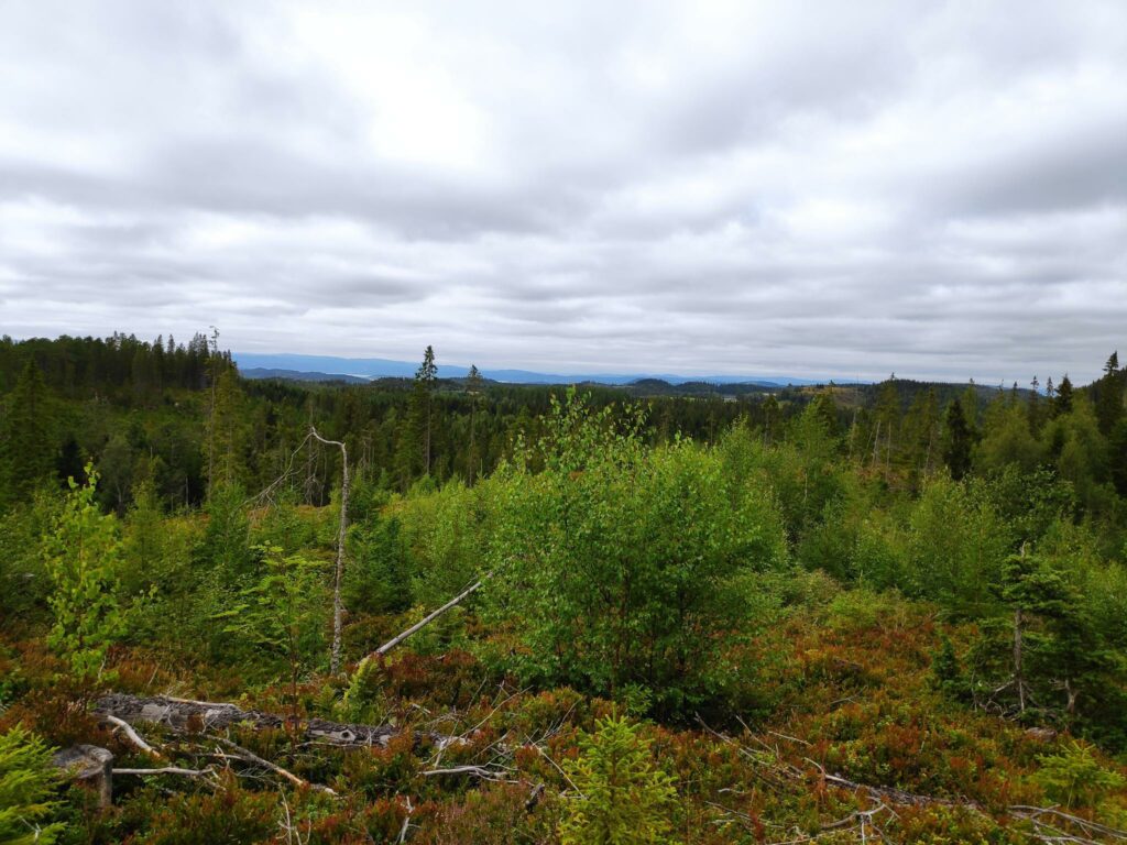
Most summers I take one or two walks to Finnheimen as it is a nice walk, but not too long a walk. This time we started our walk at about 4 pm, so a walk later in the day. The temperature was pleasant, about 15 degrees Celsius. There was light cloud and no wind. It has been cool the last week so we were not bothered by insects either.
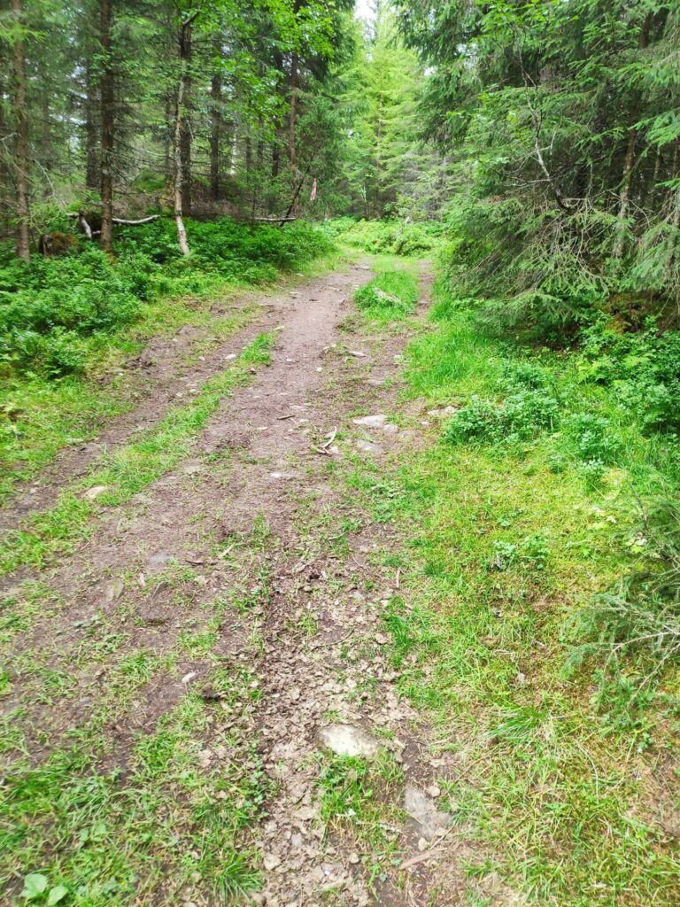
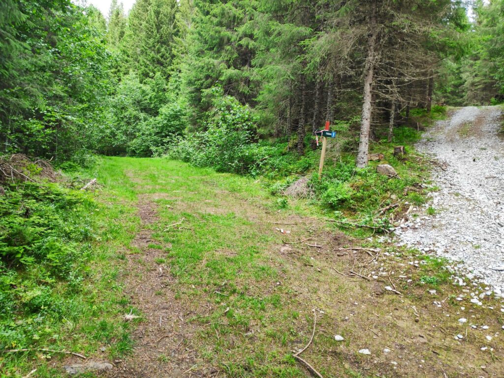
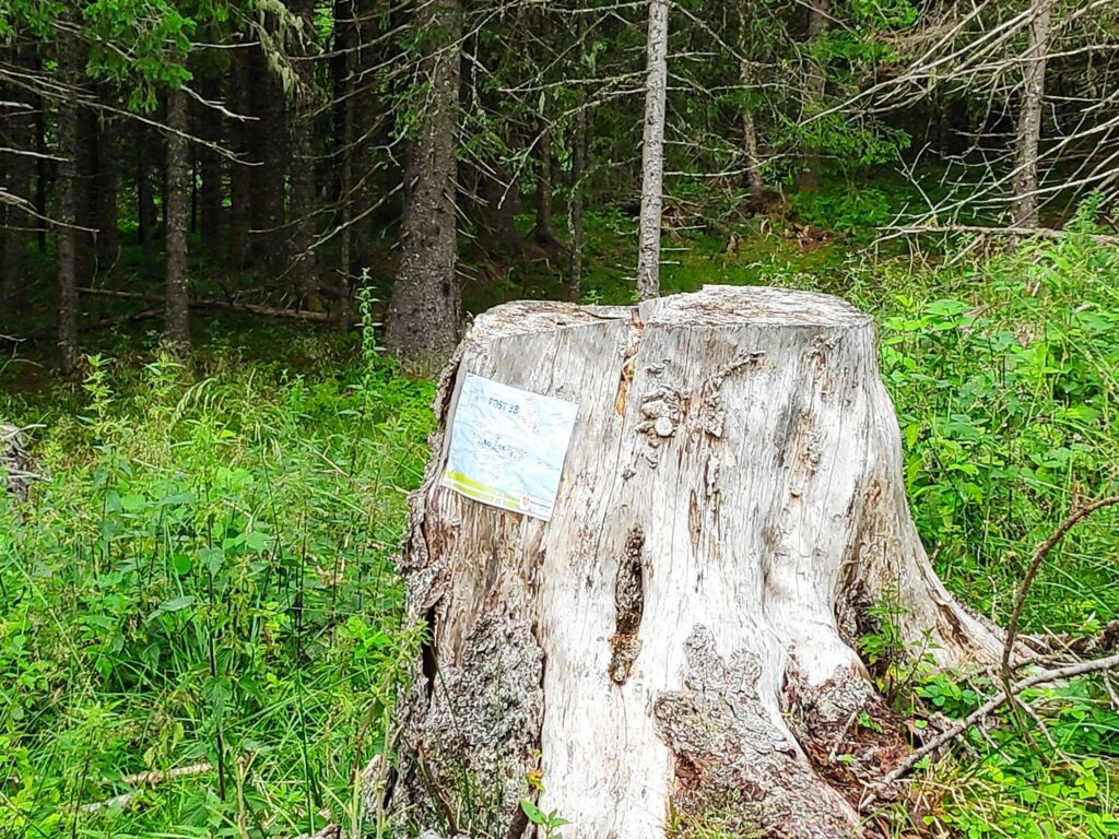
One of the things that I noticed while walking this section of the trail was how wide it was. It has obviously been a tractor road at some time in the past, but the “road” seems to end at Finnheimen. Much of what we walked between Finnheimen and Søråsen would still be accessible by tractor, but one would have to come in from the parking area at Røflo, not the parking area at Lundsaunet where we parked today.
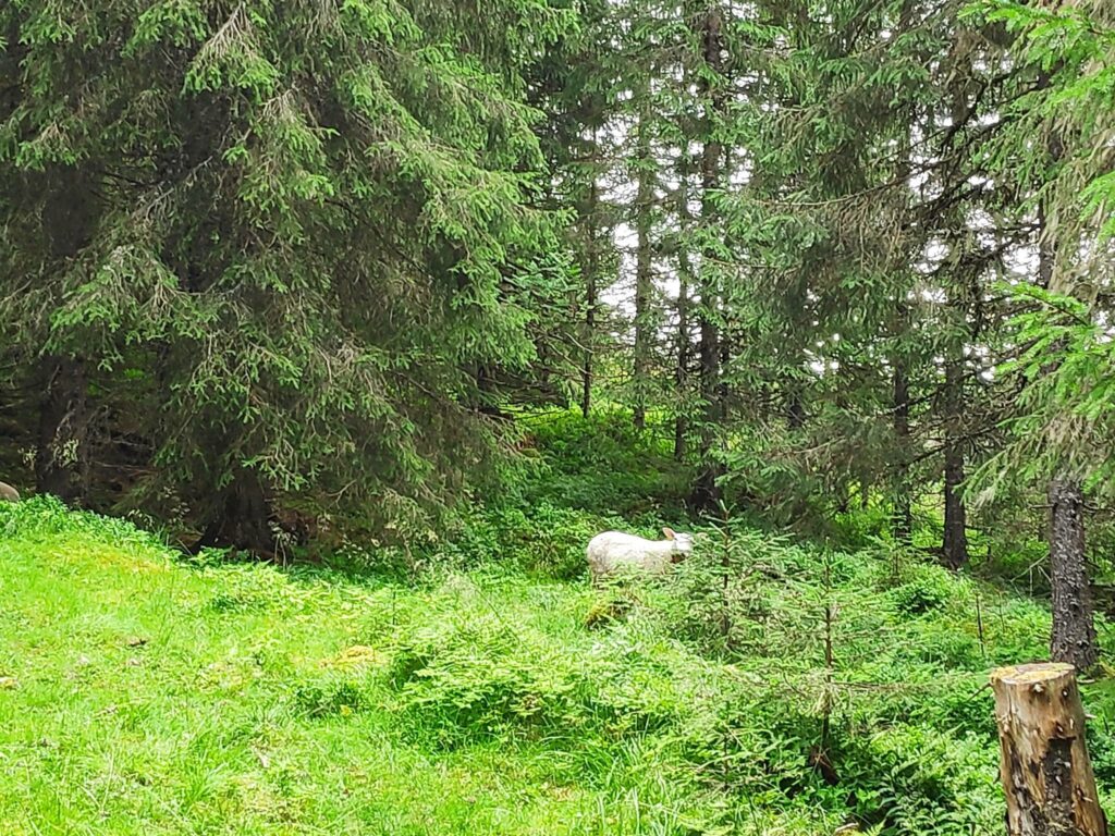
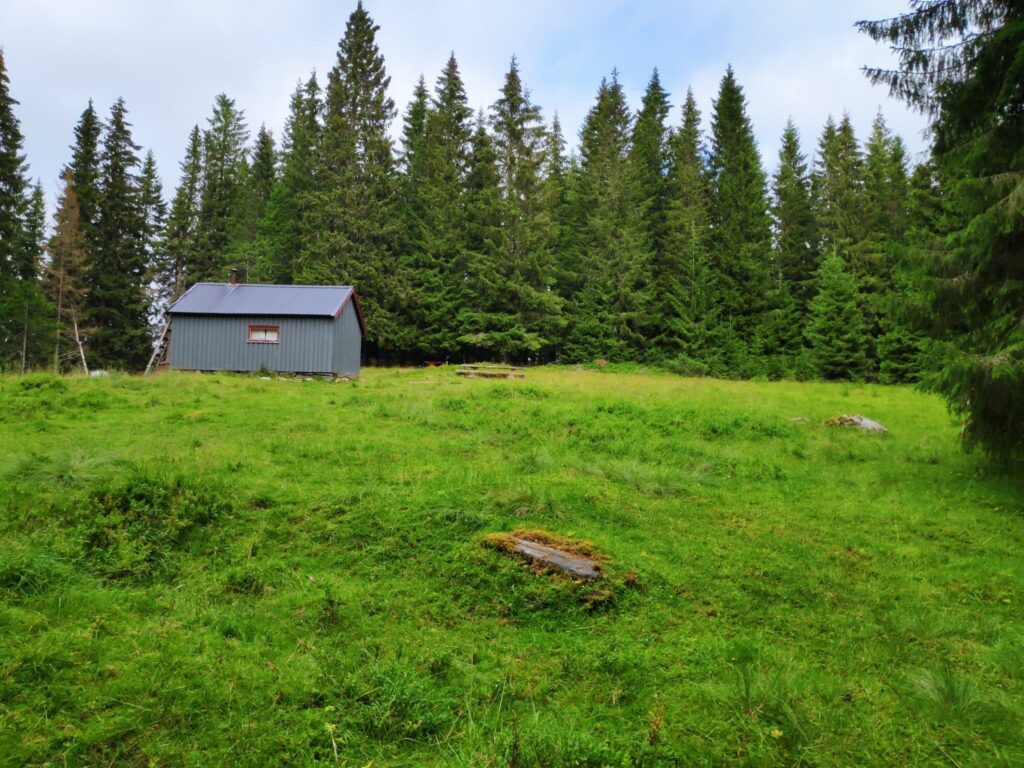
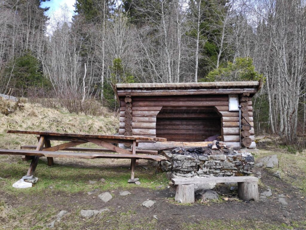
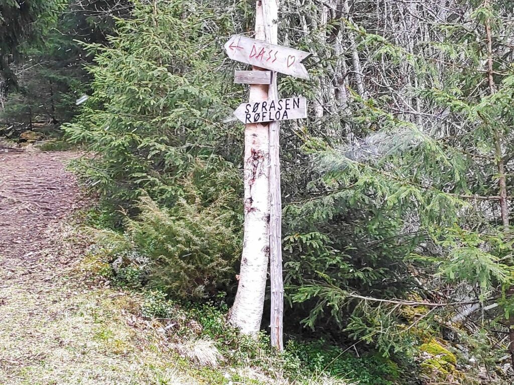
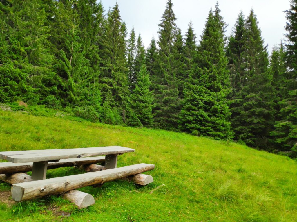
In past centuries, farmers would put their cows up in the mountain pastures during the summer. Cows need to be milked every day, so young women would live up with the cows in the mountains. This sort of building would be what they lived in. Søråsen (which literally means the south hill) was an open meadow with a building in it. There was also an outhouse and a couple of picnic benches. There was no particular view from here except trees, mostly a spruce forest. Today the meadow would be kept open by the sheep that we had seen.
Søråsen was an interesting place to see, but it is probably not a place I would go to regularly. I prefer to have a view out over the landscape or come to a lake.
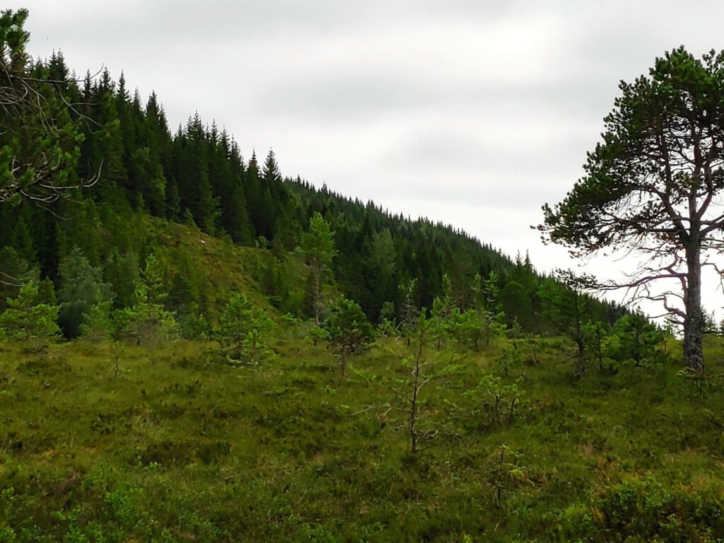
We used about 2 hours on our walk, so one hour each way, and had only a short stop at Søråsen. The walking was easy. There were no particularly muddy or wet areas. It was good to get out for a longer walk after we have had a rainy period. It was also good to get out with someone other than those I live with.