Today was a beautiful sunny day, eventually getting up to over 20 degrees Celsius sitting in the sun. But during the morning, my son and I took a walk in Mosvik, starting at the small boat harbor.
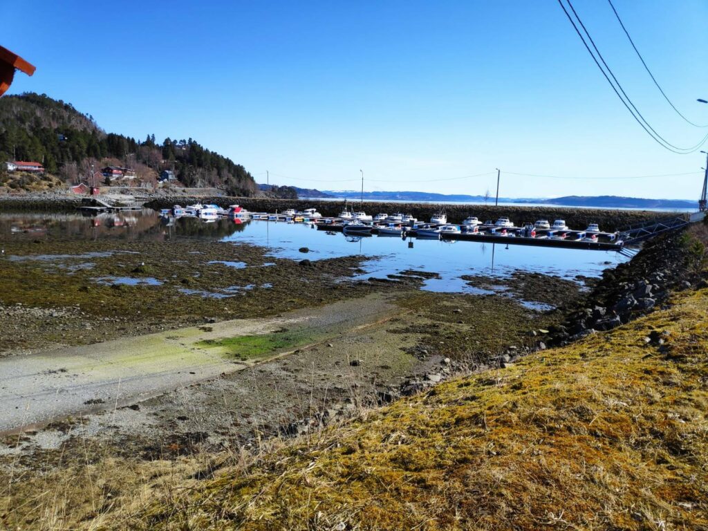
The small boat harbor in Mosvik is very well protected. Today while I was out walking it was very low tide. This was not the time to launch your boat from the ramp that is visible in the lower left of the picture.
There is a very small exit from the boat harbor, which makes the harbor very protected no matter which way the wind is blowing from. However at very low tides, it might be a bit awkward to manoeuvre the boat.
When we first moved to Vangshylla 32 years ago, Mosvik was its own municipality, but in 2012 it became part of Inderøy, having been its own municipality since 1901. There is a school, a kindergarten, a training center, a fuel pump and a food store in the village. It also has a new old-people’s home which was just completed this last winter. The village of Mosvik is 8 km from where we live and so we are there regularly. Today my son and I agreed that we wanted to be primarily in the sunshine so we chose a walk that took us along the fjord, then up into the housing area before heading back to the car.
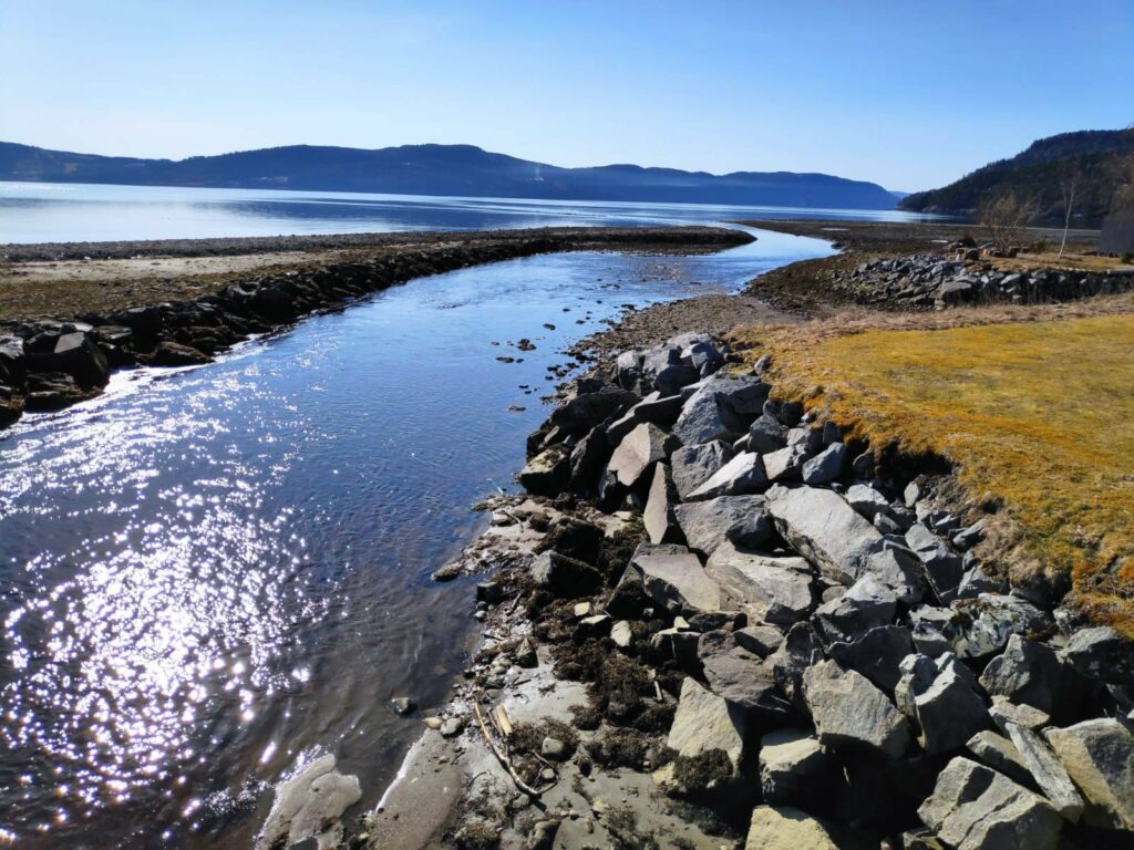
It was very interesting that we came at a very low tide today, as one can see what is normally covered by water. Low tide this morning was at 9:19 and these pictures were taken between 10:30 and 11:30, so the tide was already coming in.
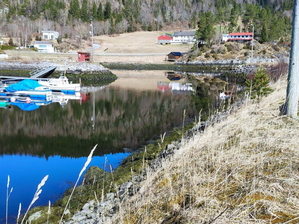
We walked along the water’s edge, past most of the houses that you see in this picture before heading up a slight hill.
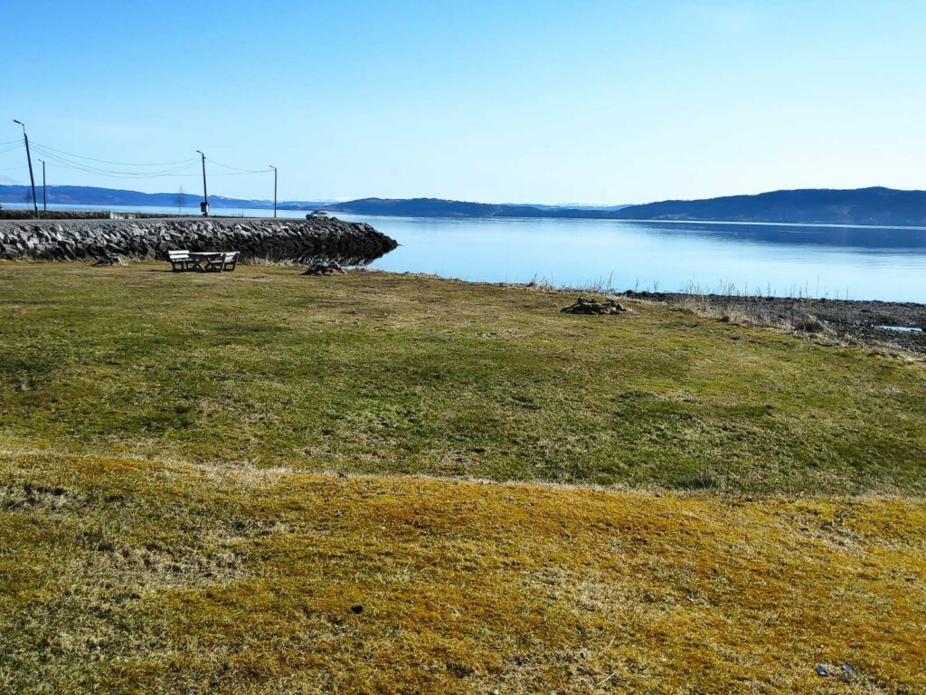
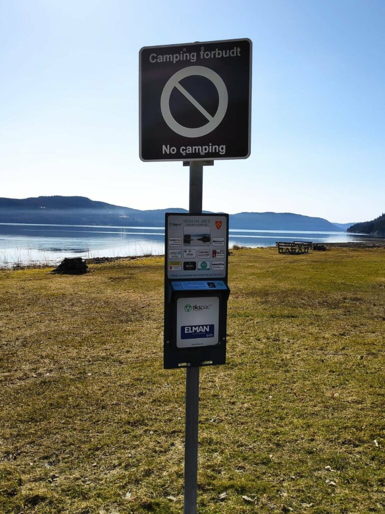
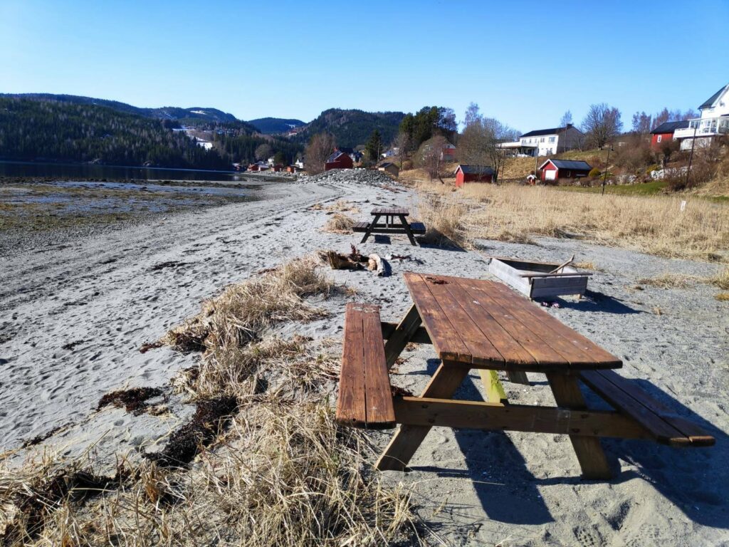
Between the road we were walking along and the water, there were several areas with picnic tables and places to be outdoors when the weather was nice.
However, there are restrictions and these areas are not to be used for camping. They are for daytime use only.
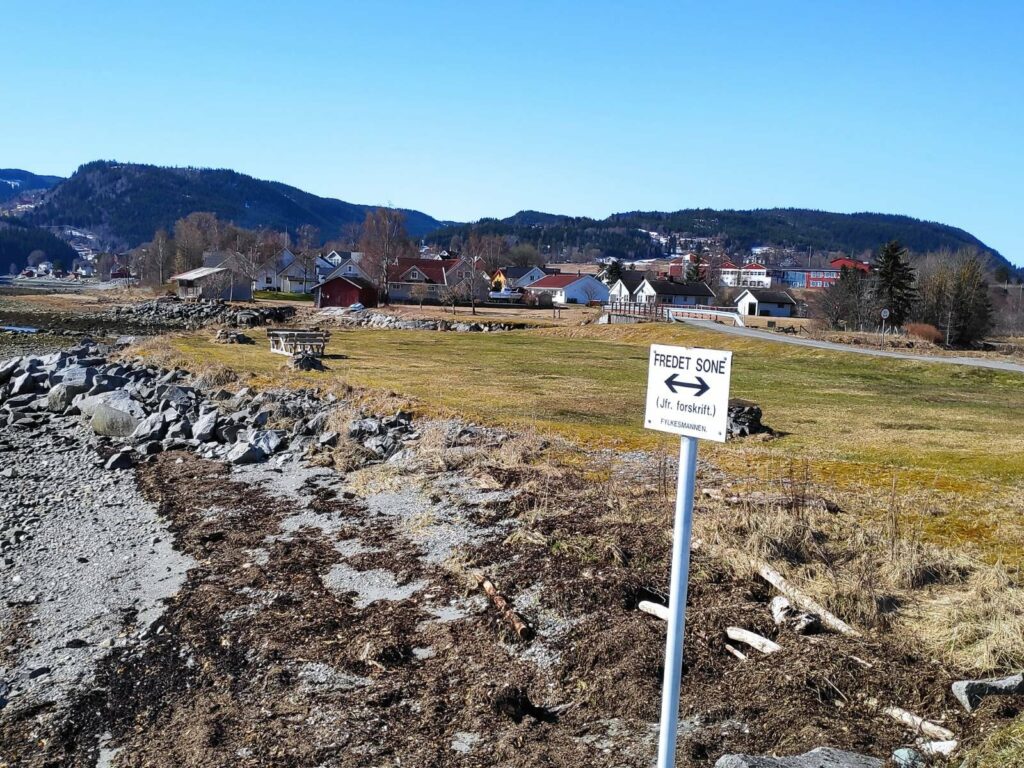
“Fredet sone” = means that this area belongs to the birds. Notice the road that we walked along at the upper right of the picture. It leads to a small bridge over the stream and on to the center of the villlage.
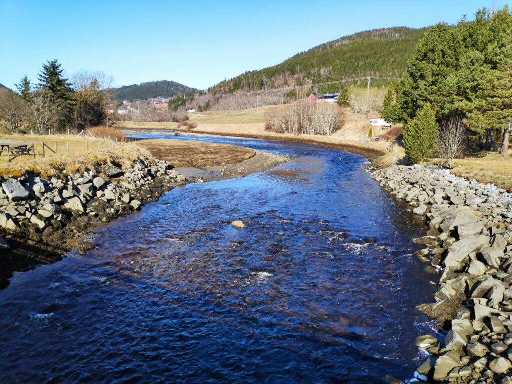
This stream has collected run-off water from the hills and flows out to the sea here. Note that this part of the stream is tidal.
Looking the other way from the same bridge, one can see the channel that the stream has cut for itself. At high tide, the bank on the left would be mostly covered.
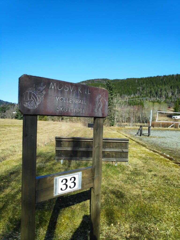
A playing field for sandvolleyball lies beside an area for playing “skothyll”, which is an old throwing game which seems to be most popular in Trøndelag in Norway (this is what the region where we live is called) . Note that the playing field even has been given an address number, 33, so that emergency services can find it on their GPS.
Another picnic area. A local resident that we stopped to chat to said that this was a very popular swimming beach. When the tide comes in over the warmed up sand, the water is very pleasant for swimming in the summer months.
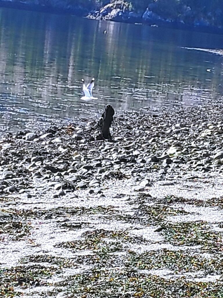
One of the local residents took off just as I was trying to get his picture.
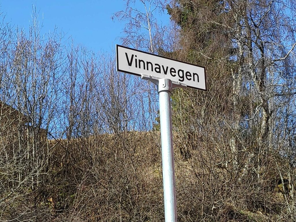
All roads are now named and buildings are given number addresses. This is primarily to aid emergency services finding locations, but it also helps people figure out where they are and how to get where they are going. Having addresses is useful when using GPS systems.
At this point we left the road going along the water and headed up a small hill to the residential area. Traditionally, Mosvik was one large wooded property owned by one family. This large property still exists, but, today, in addition, there are some small farms and a residential and small business area. The farm has beef production, grains and forestry as its main sources of income.
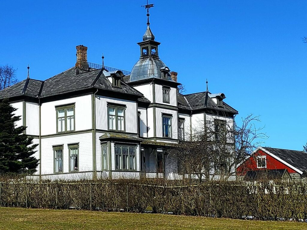
The main farm in Mosvik is called Vinje Bruk, and the owners have a rather large house which was built in the 1890s.
Mosvik Church lies just a few meters from Vinje Bruk and was built in 1884.
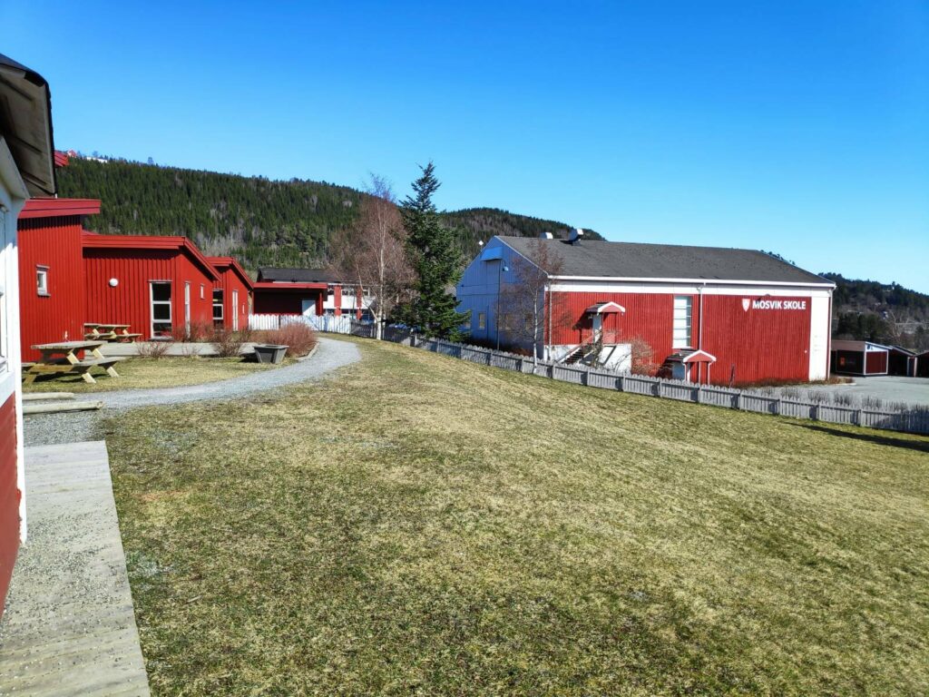
From here the walk was downhill, past the school and down to the water again.
The kindergarten is in the left-hand building and the elementary school on the right.
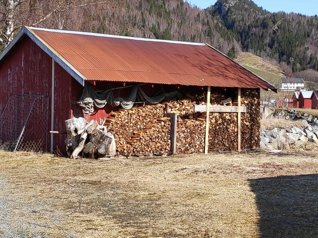
When you turn around and take the same road back again, you see different things. Here there was firewood stacked for drying and for use next winter as well as fishing nets under the eaves.
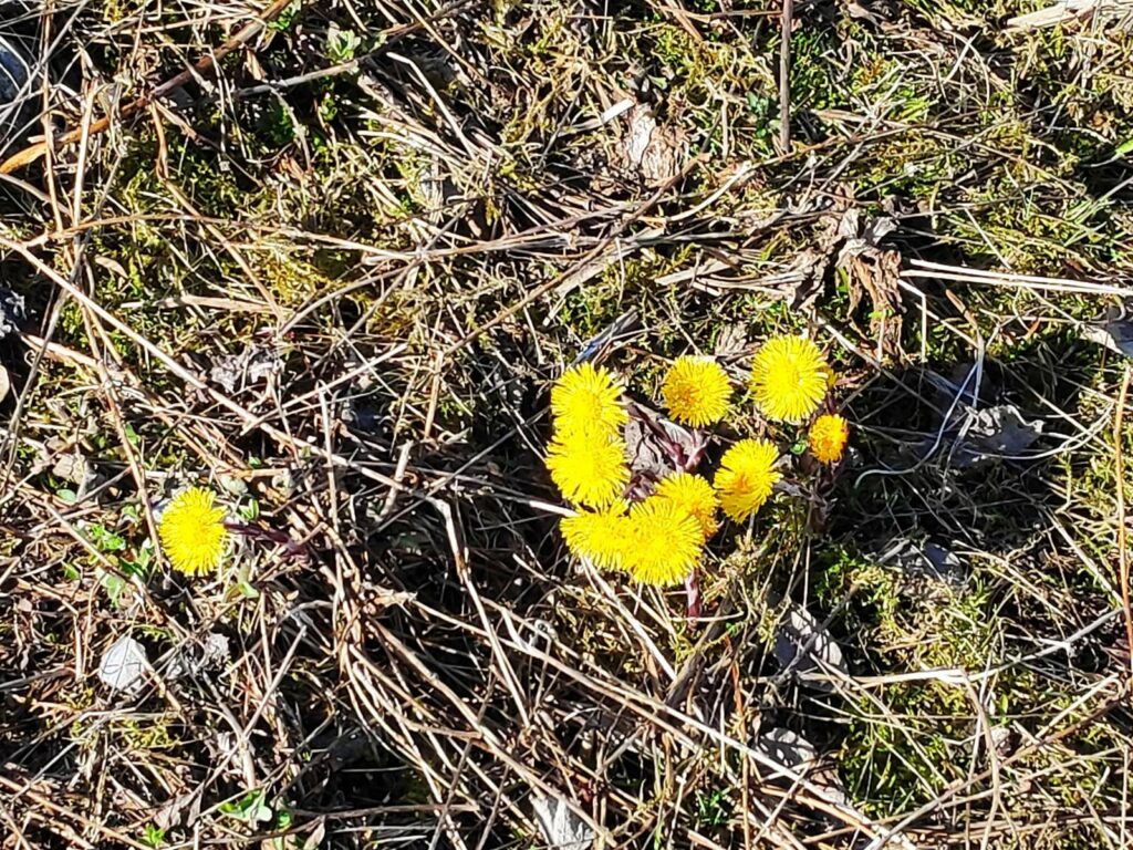
There aren’t many wildflowers blooming yet, but colt’s foot (Tussilago farfara) was everywhere. The sun brings out the bright yellow flowers. This plant has a very large leaf which comes out after the flowers are finished.
The last time I took this walk, I was with a girlfriend and we got soaked in a rain shower. Today it was beautiful. This is a walk I will do again. It takes about an hour to do a circle tour and there are several alternative routes one can take, especially through the residential area.