
It’s over two months since I last wrote a blog, but the summertime is not a time for me to write. Now that we have come to September, I am hoping to get back to writing regularly. I have taken many walks over the summer, so you will get to know some of the other places in Inderøy.
I have a friend that I walk with regularly and today’s walk was a new one for both of us. The starting point is a designated parking area beside the main road between Skarnsund Bridge and Mosvik. The given information indicates that the walk is about 2 km and that one can go around in a circle. We used about 45 minutes on our walk, so we walked more than 2 km. We followed the trail around in a circle and also took one side trail that we decided wasn’t going to take us back to where the car was parked. There were a lot of trails, though I imagine many of the trails are made by the deer and the moose and only some of them have been improved by humans.
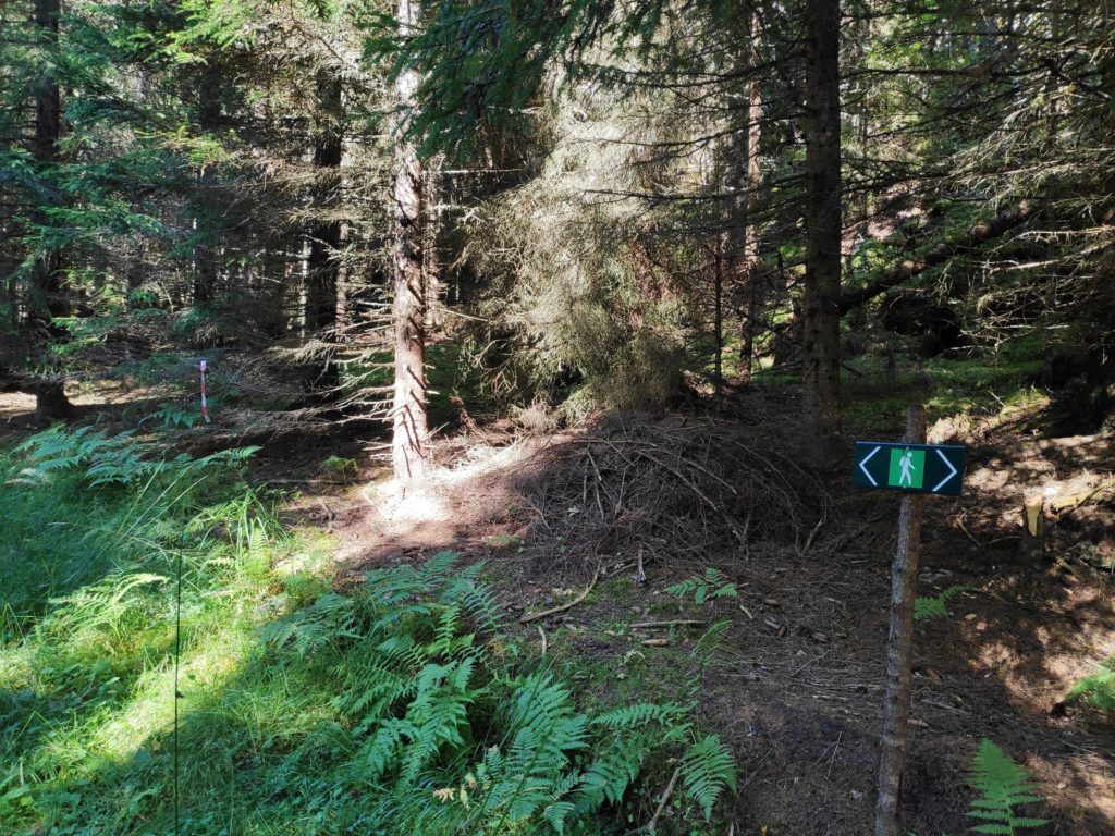
The first bit of the trail is quite steep, but it is all under the trees and once one is up about 25-30 meters above sea level, then the rest of the trail is gently up and down. The post itself is about 50 meters above sea level, according to the map I was using.
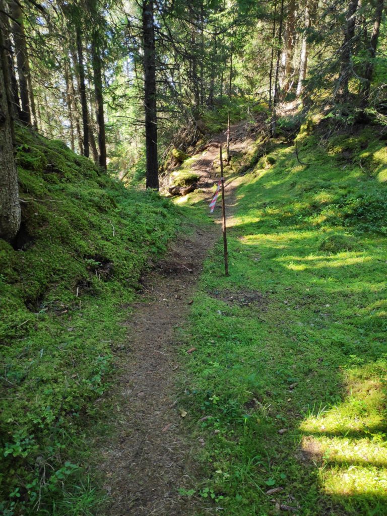
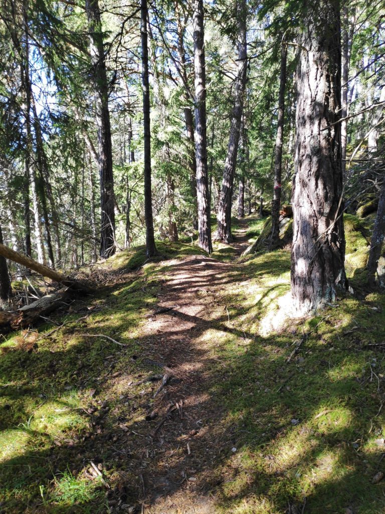
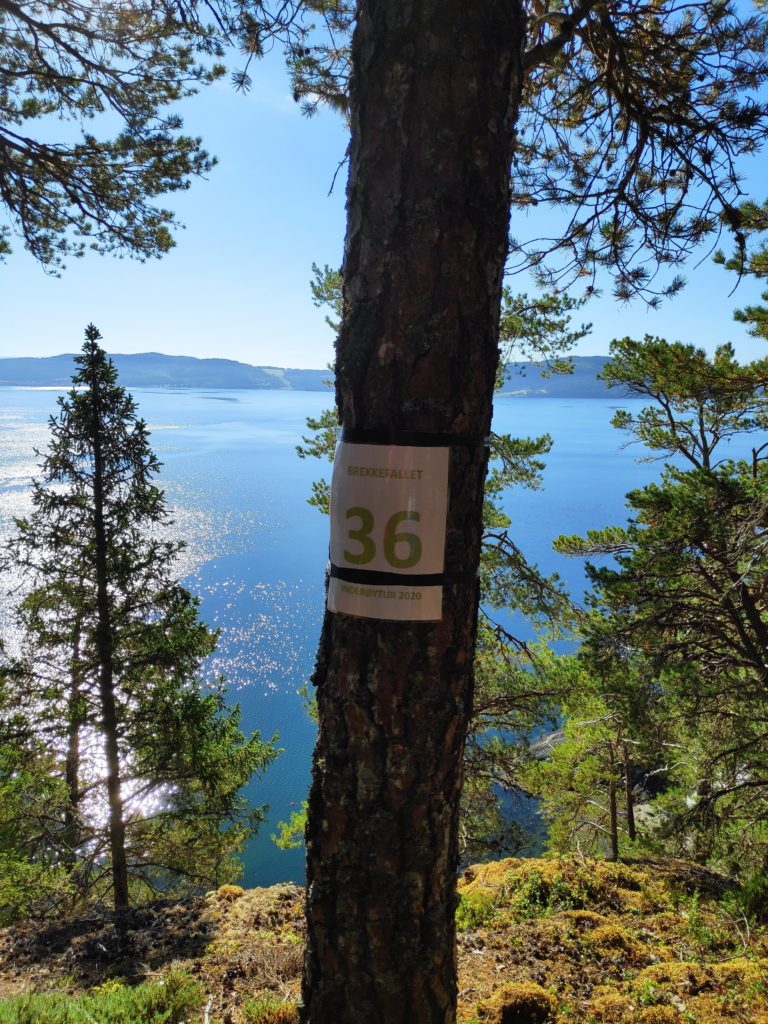
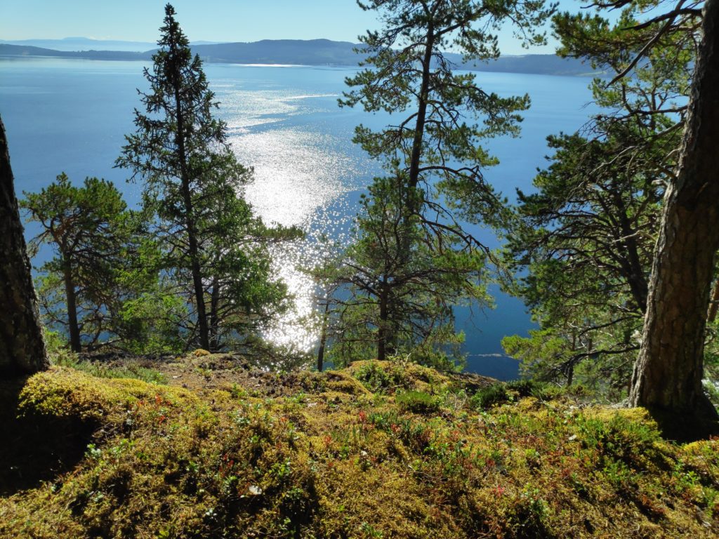
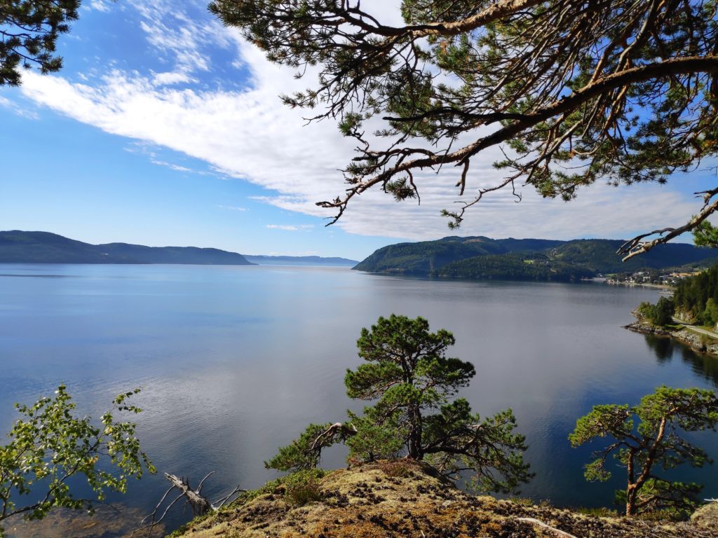
This is a recommended walk. The steep bit gives one good exercise for the heart and lungs when going up, and the knees when going down. It would not be recommended when it has been raining heavily as the steep bit could be slippery. However, most of the trail is not steep and very enjoyable walking through an older forest.