“Storlia” means “big hill” and so the reason for doing this walk is for the views from the top. One drives part way up the hill and then walks the rest of the way on a trail that is quite steep at times. We were three walking together and everyone was walking at different speeds on the steepest bits. I stop quite often to make sure my heart beat gets back to normal before continuing.
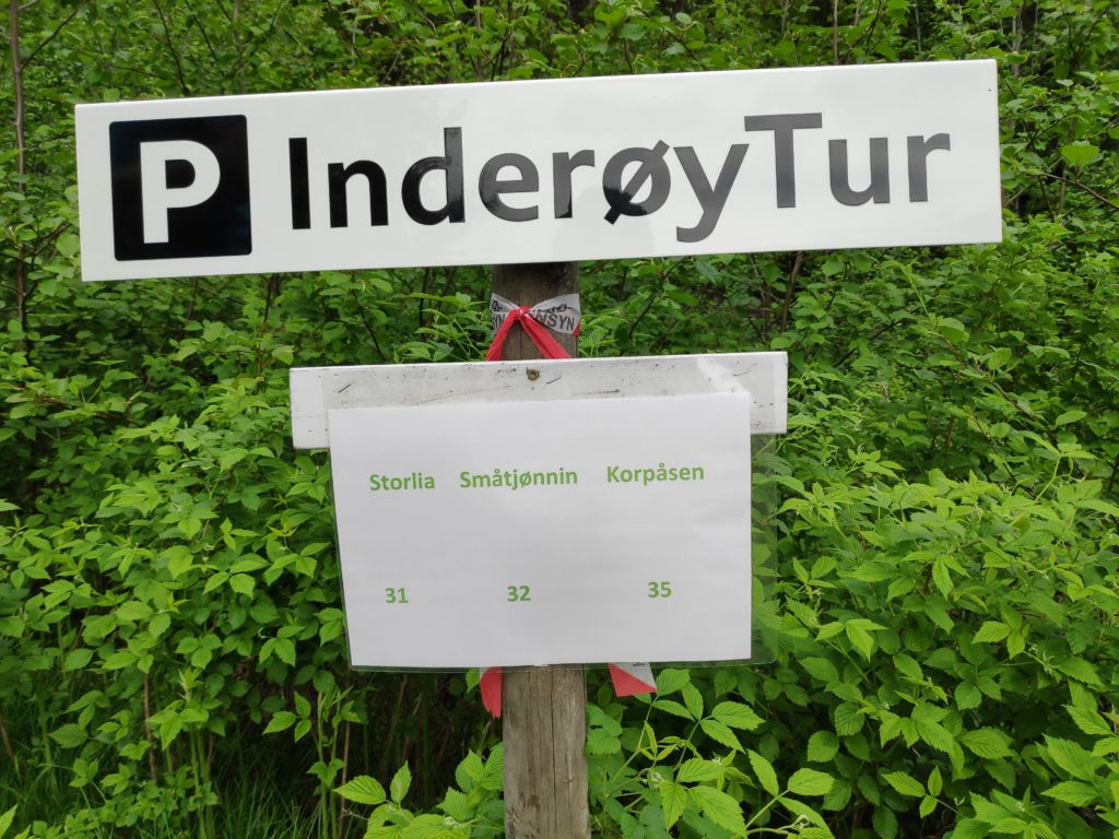
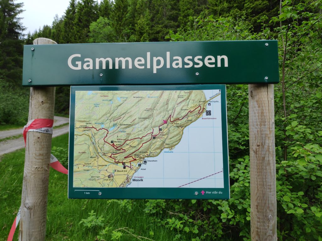
From the parking place at Gammelplassen (“the old place”), there are three walks available. This blog is about Storlia. A later blog will come about Korpåsen.There is the usual map of the area. It can be a good idea to have a picture of the map on one’s smartphone so you can check where trails go. The app we use to check-in to posts also comes with a map that shows the trails.
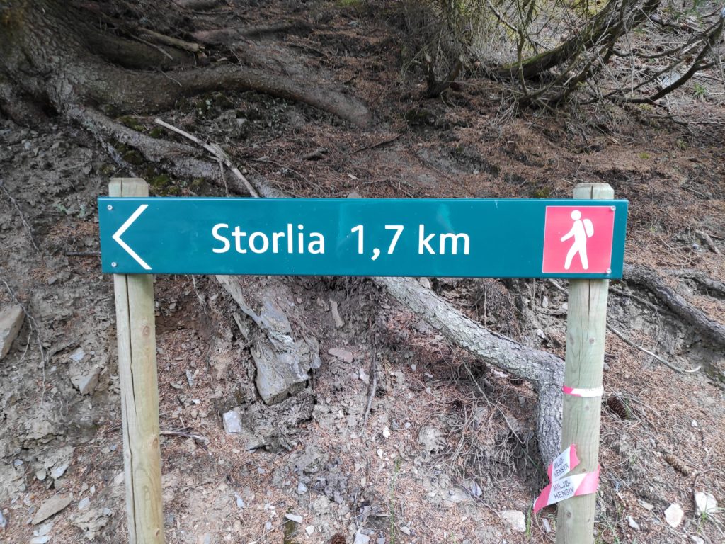
Storlia, according to the map, is 380 meters above sea level, and we have parked at about 140 meters above sea level, giving us still a climb of about 240 meters.
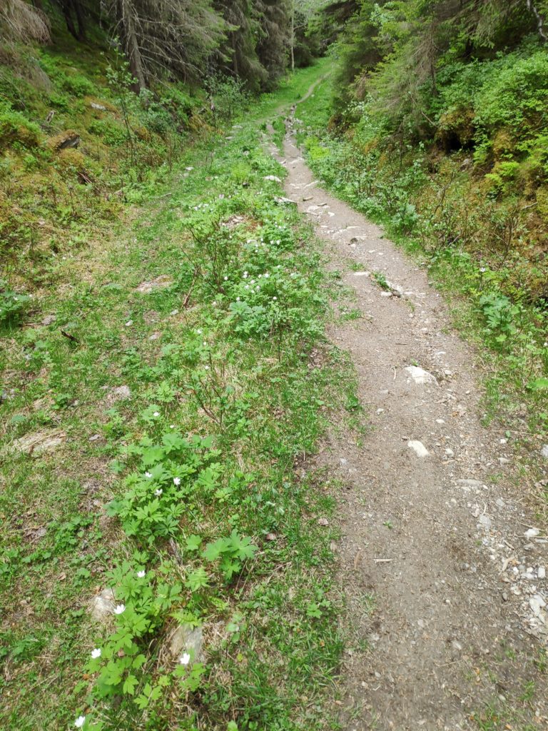
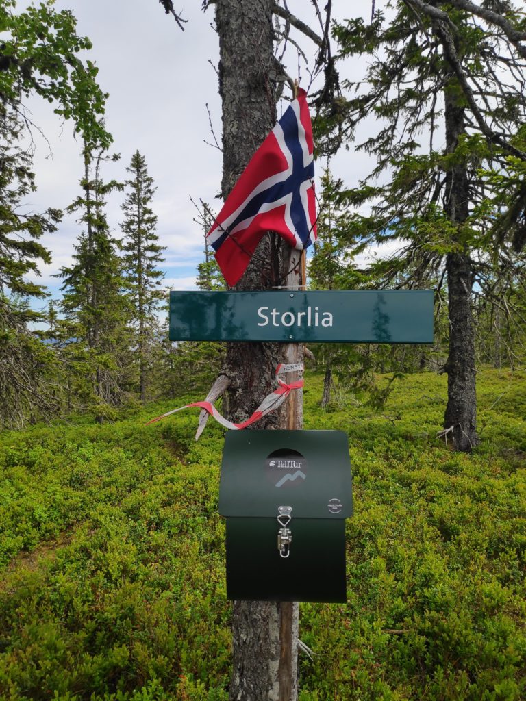
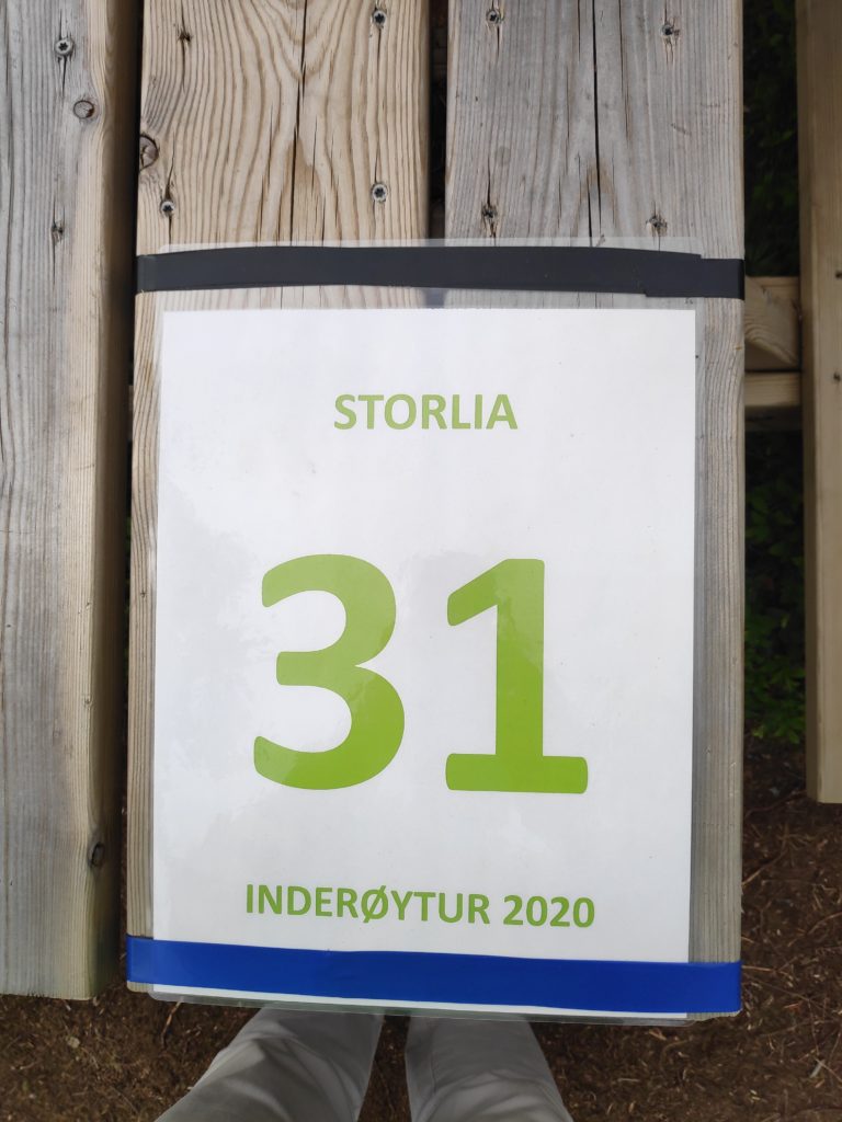
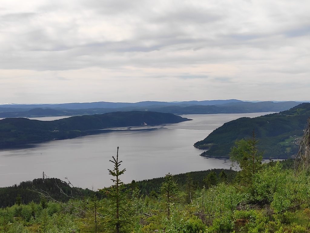
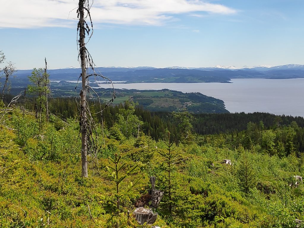
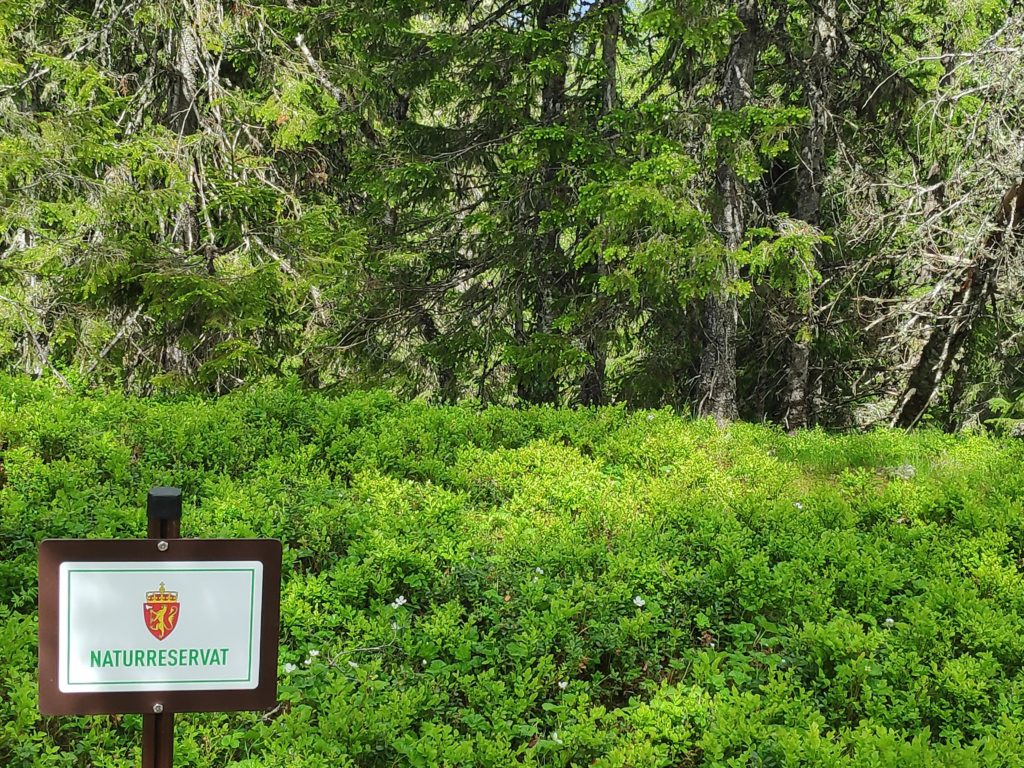
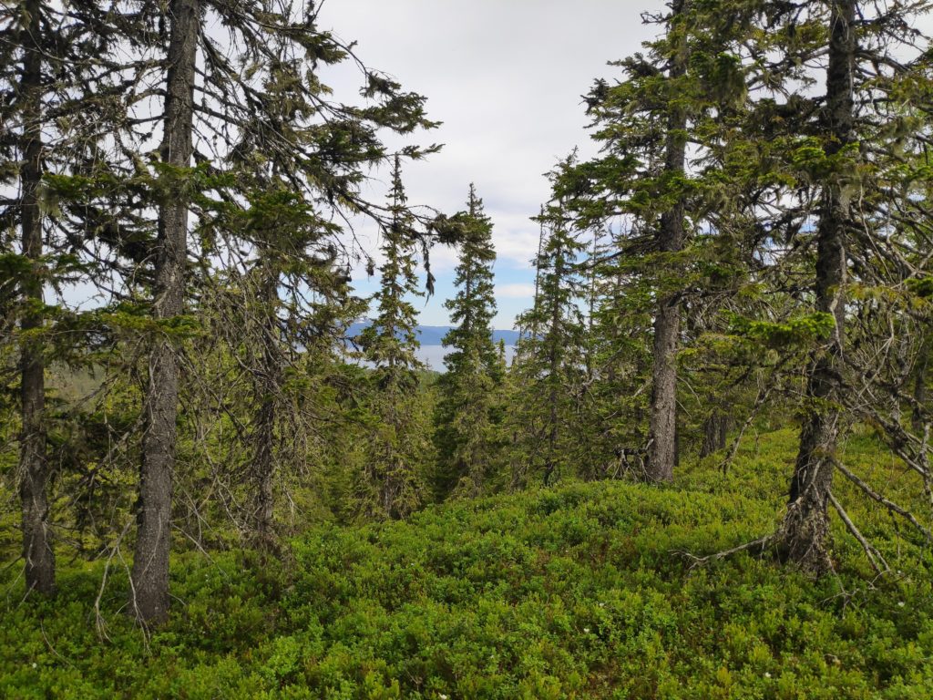
This is a red trail, meaning that it is difficult. Uphill getting there and downhill back to the car.The trail, looking downhill. Pauses to take photos are a necessity for me. We made it to the top. There was even a Norwegian flag to welcome us. In the box is a book to write your name in. Not everyone uses an app on their smartphone to check-in with.On the picnic table at the top, there was a notice for those who use the app.The view looking south-west, with Ytterøy (an island) on the left, Norviksund straight ahead. All the water is considered Trondheim Fjord.Looking south-east towards where we live, though our house is not visible. In the background is Verdal and even father behind, the mountains with snow on them would be in Sweden. At the check-in point, we are at the edge of Skavdal Nature Reserve, which is to protect an old spruce forest and boreal rain forest. Skavdalen Nature Reserve, looking north-east towards Beitstad Fjord.