Twilight

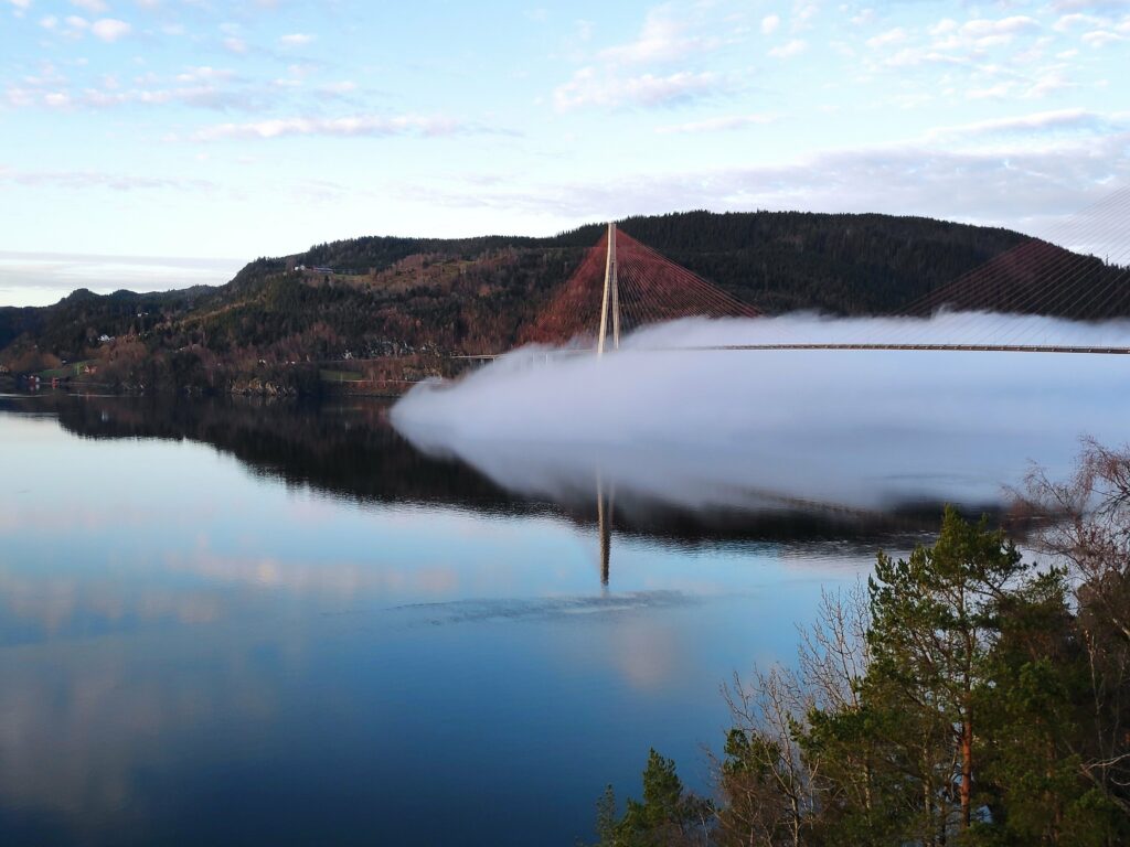
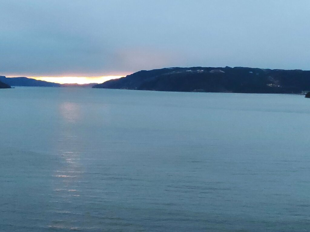
If I think of the meaning of the word, twilight, I think of the time when it is getting light, just before sunrise, or the time after sunset when there is still light in the sky.

2020.12.22, 09:15 Civil twilight in the morning

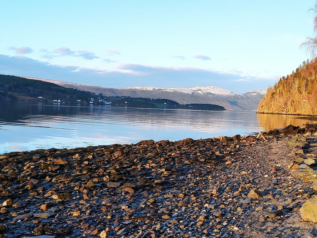
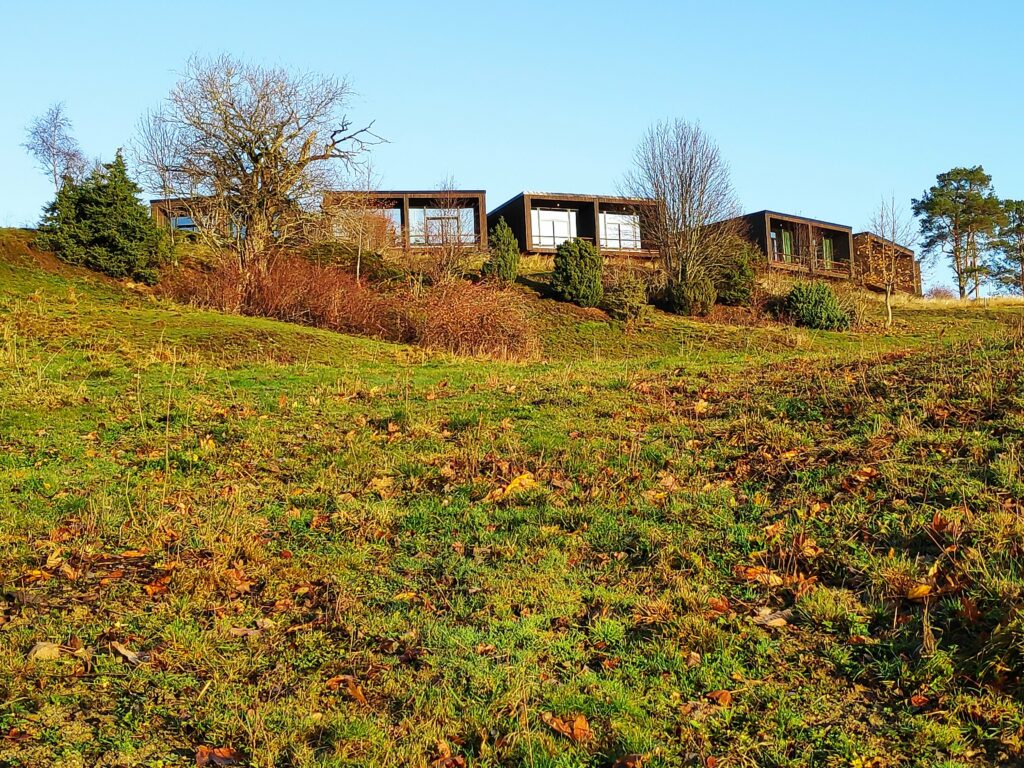
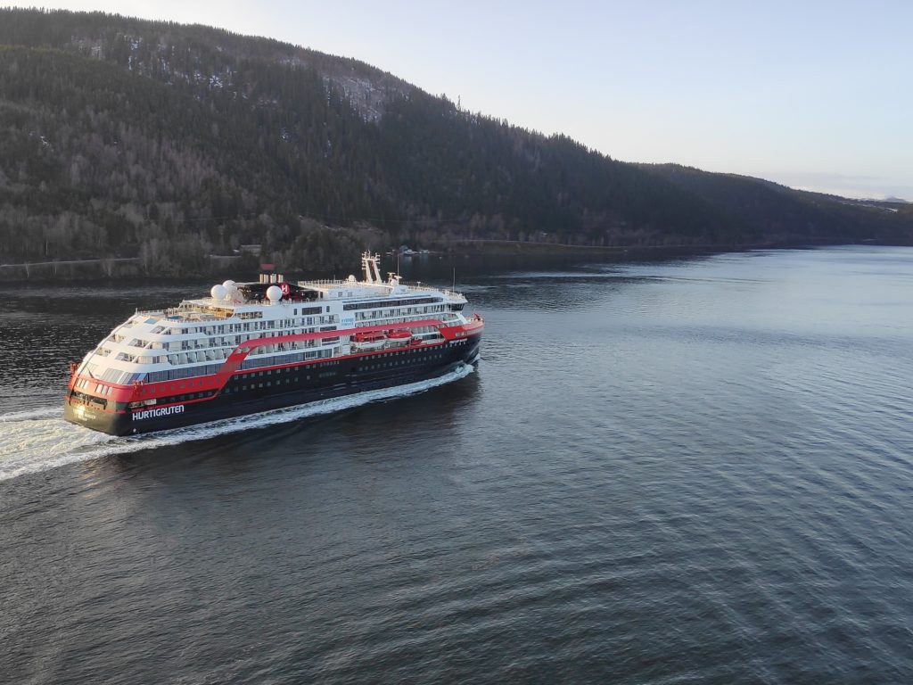
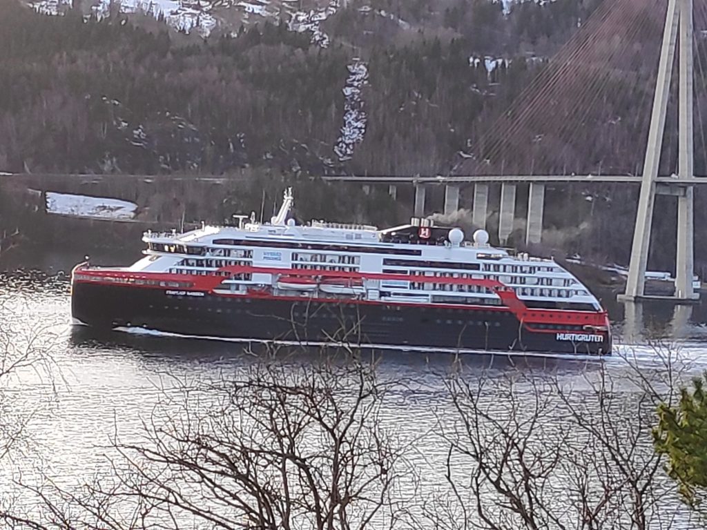
If you look at what astronomers calculate, there are three definitions of twilight. I’m going to give the times for today, 22 December 2020, and my location at Vangshylla, Norway as well as definitions and where possible a photo.

According to my source at www.timeanddate.com, twilight is the time between day and night when there is light outside, but the sun is below the horizon. The morning twilight is often called dawn and the evening twilight is called dusk.

The astronomical definitions of the three stages of twilight are based on the Sun’s elevation, see the diagram below. Sunrise is when the sun comes over the horizon. For calculation purposes, it is the geometric center of the sun that is used.

If we think of what is happening in the morning, civil twilight starts when the sun reaches 6 degrees below the horizon and lasts until sunrise. The actual point in time when the sun reaches 6 degrees below the horizon is called civil dawn. Nautical twilight is when the sun is between 6 and 12 degrees below the horizon and astronomical twilight is when the sun is between 12 and 18 degrees below the horizon. In the morning, astronomical twilight comes first, then nautical twilight, then civil twilight. In the evening, civil twilight comes first, then nautical twilight, then astronomical twilight.

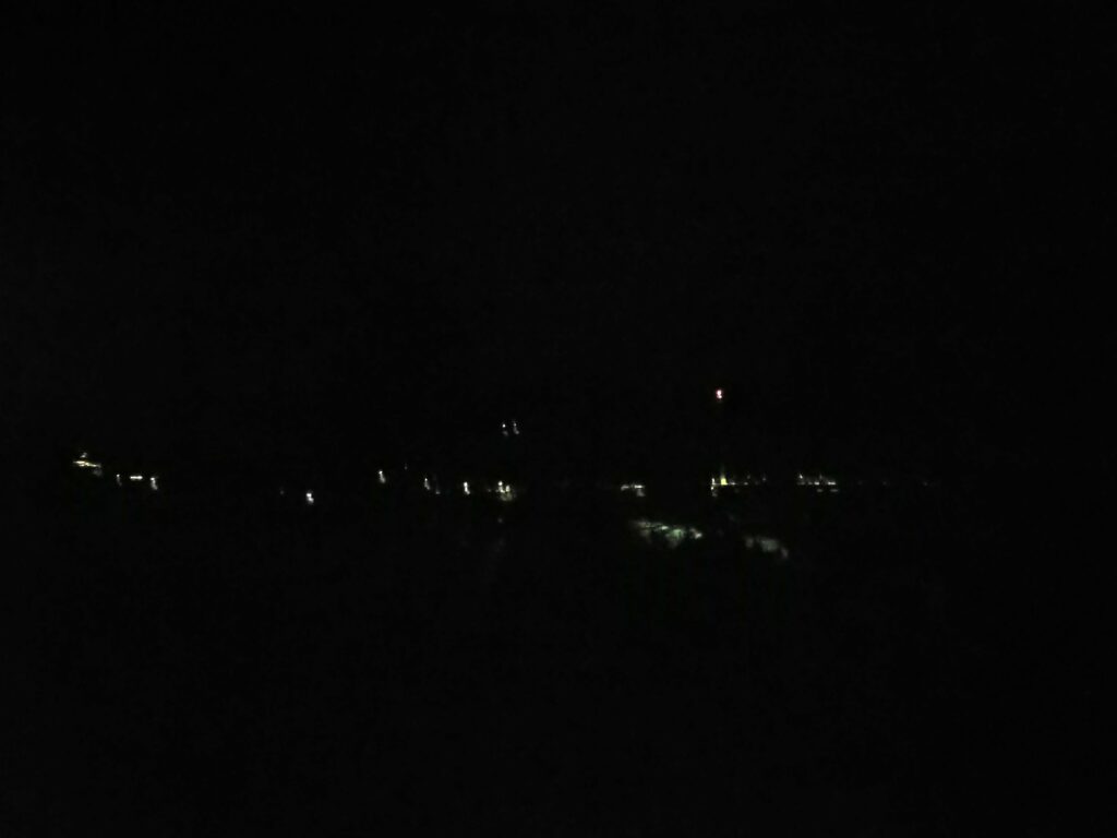
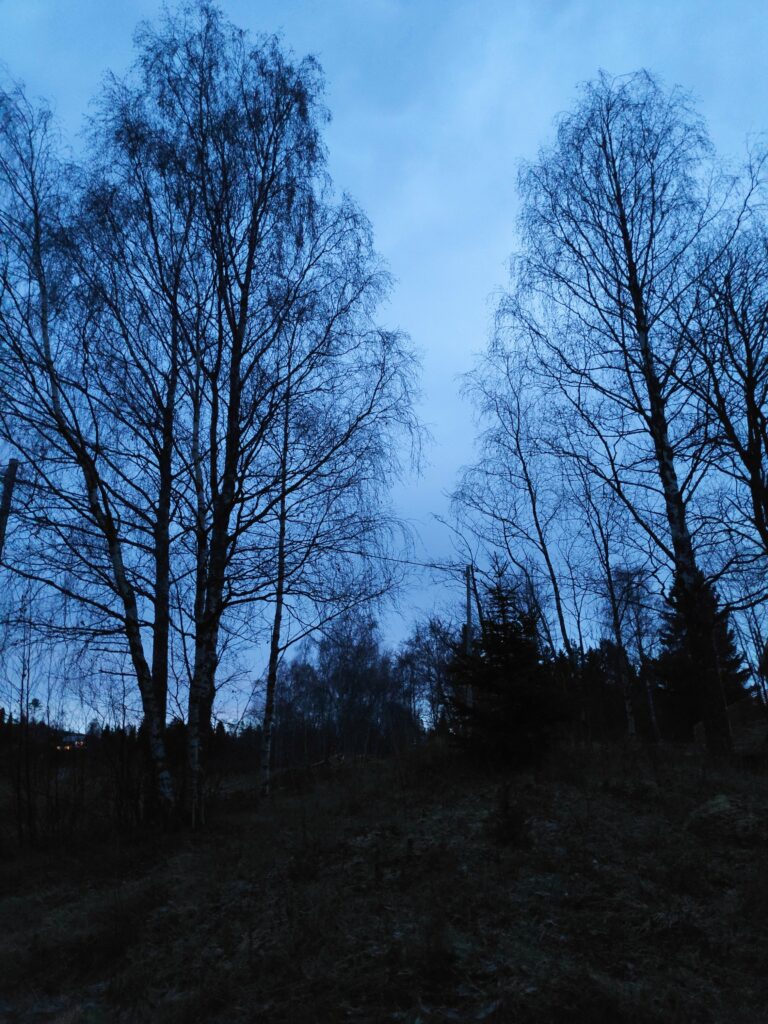
1 Astronomical Twilight

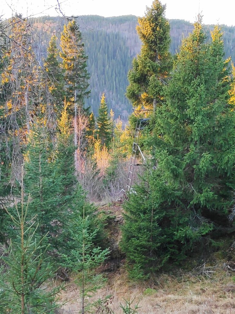
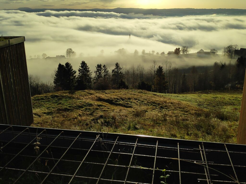
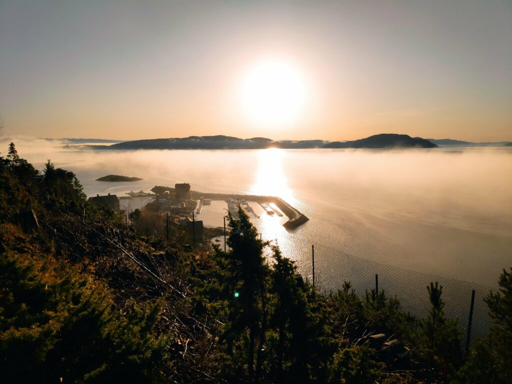
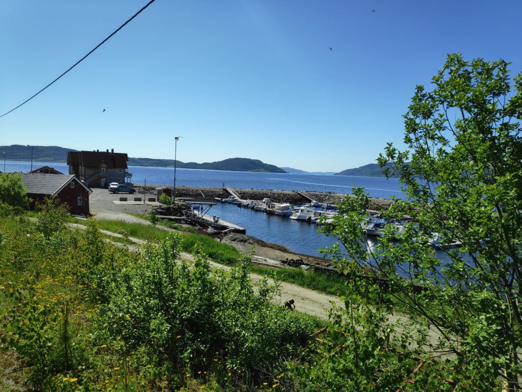
At Vangshylla today, astronomical twilight was between 6:41 – 7:40 and 16:48 – 17:47. This is about an hour in the morning and an hour in the evening. Before 6:41 and after 17:47, the sky is completely dark and celestial bodies that can be seen with the naked eye will be visible (in a cloudless sky). Lights in houses and city streets will be quite visible even at a distance. I have no photos during these times as it is too dark for me to get a picture. When I looked out a window during this period this morning, I could just see the outline of the hill in the direction where the sun would eventually come up.
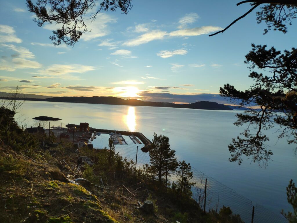
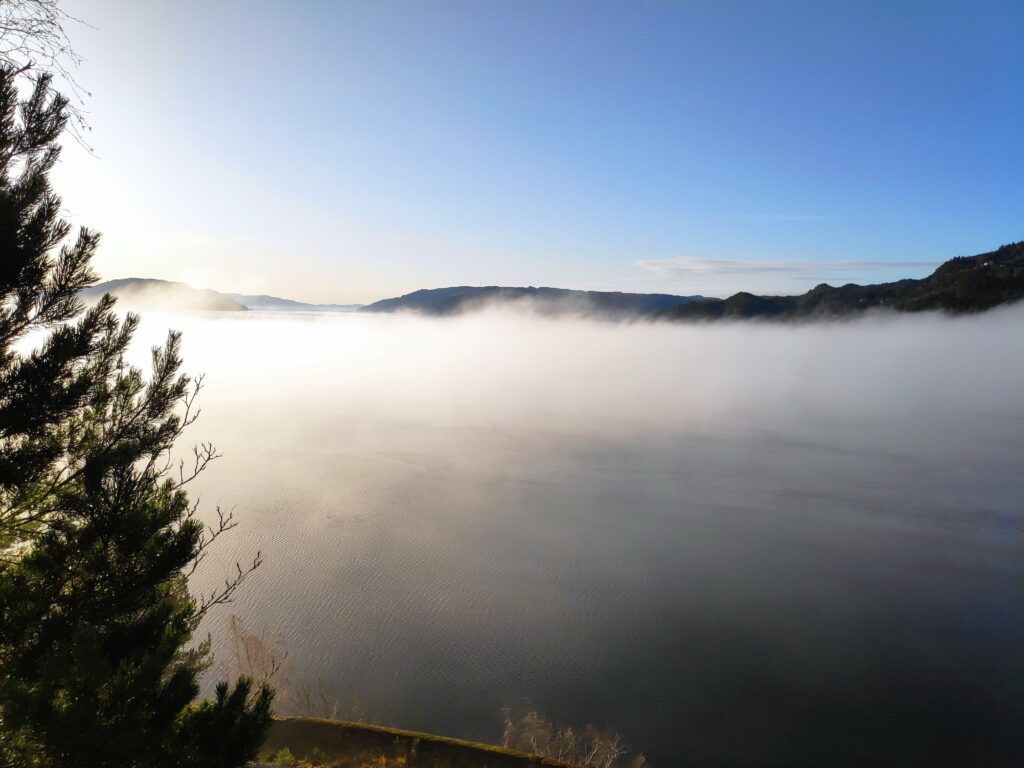
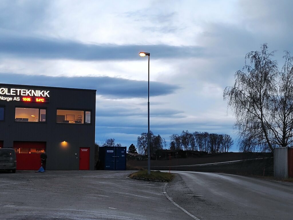
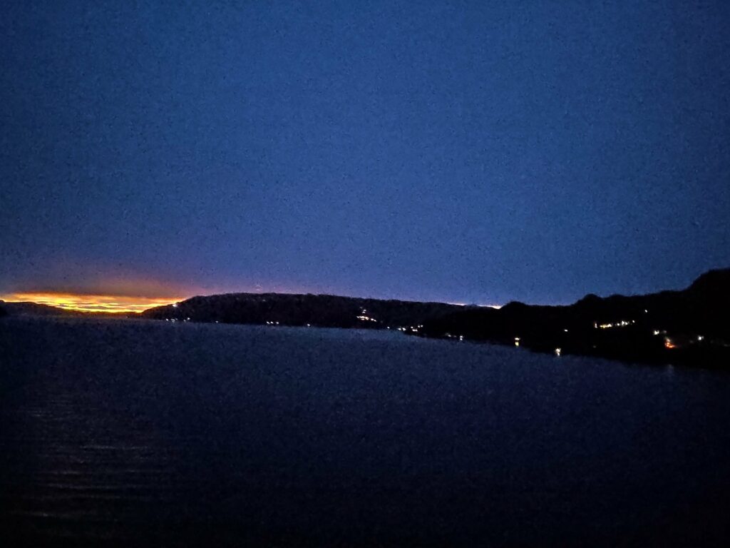
2 Nautical Twilight

2020.12.22, 07:45 at the beginning of nautical twilight. It is still pretty dark and only artificial lights are visible in the photo. I live out in the country, so there aren’t many lights at this time of day.

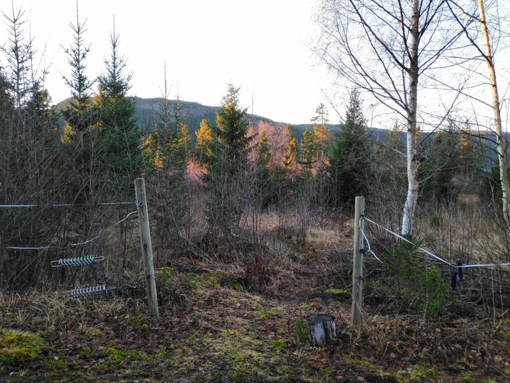
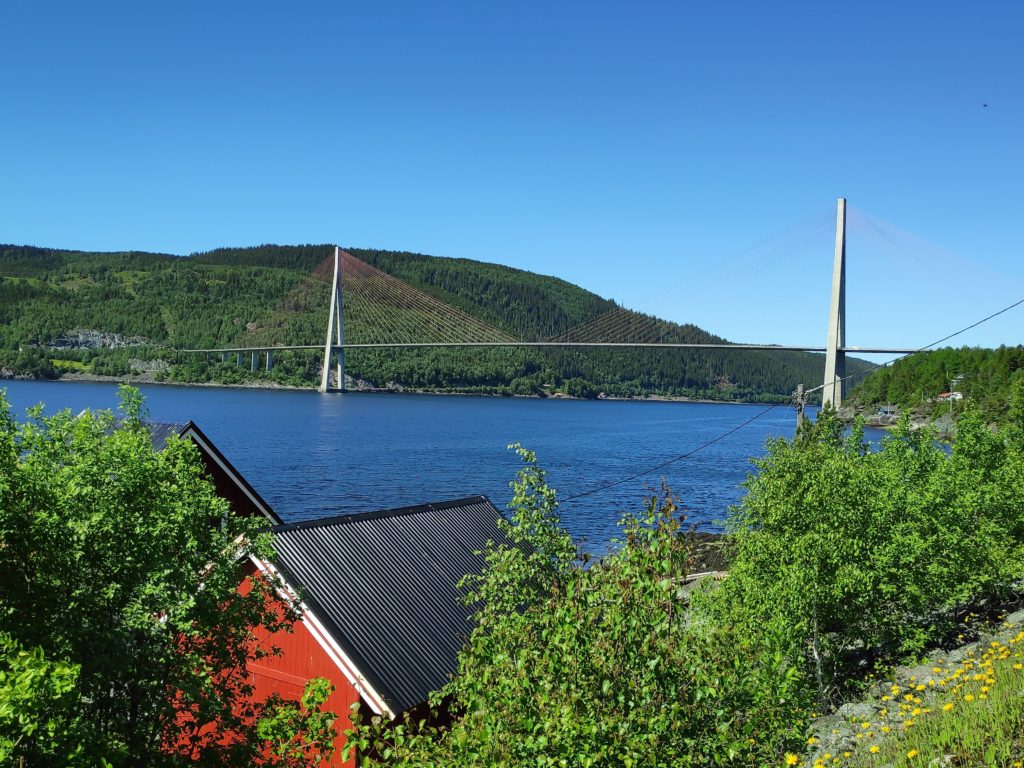
At Vangshylla today, nautical twilight was between 7:40 – 8:48 and 15:40 – 16:48. Again, this is approximately an hour for each period. In general, artificial light will be required to do activities outdoors. In times past, when sailors navigated using the stars, most stars would still be visible to the naked eye. I feel that it is still quite dark. Today was a cloudy day, but perhaps on a clear day, there could be a bit of light just coming in the sky.
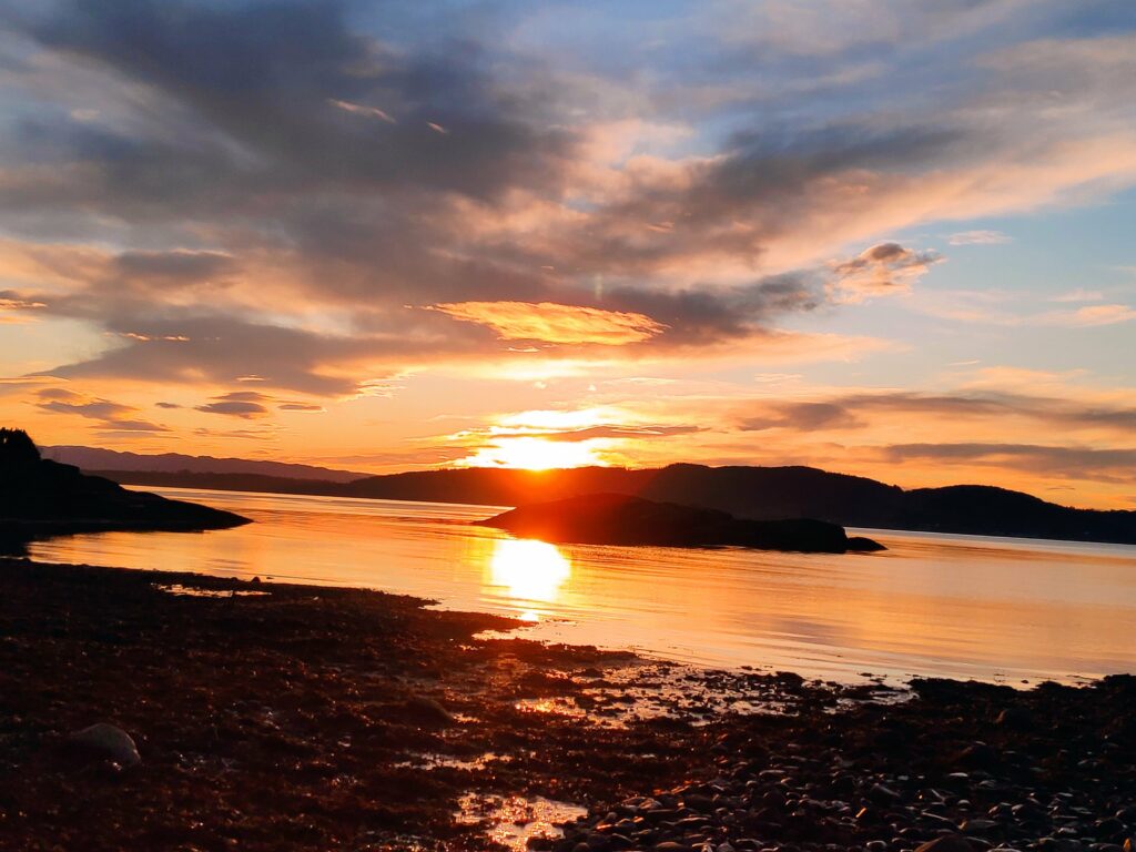
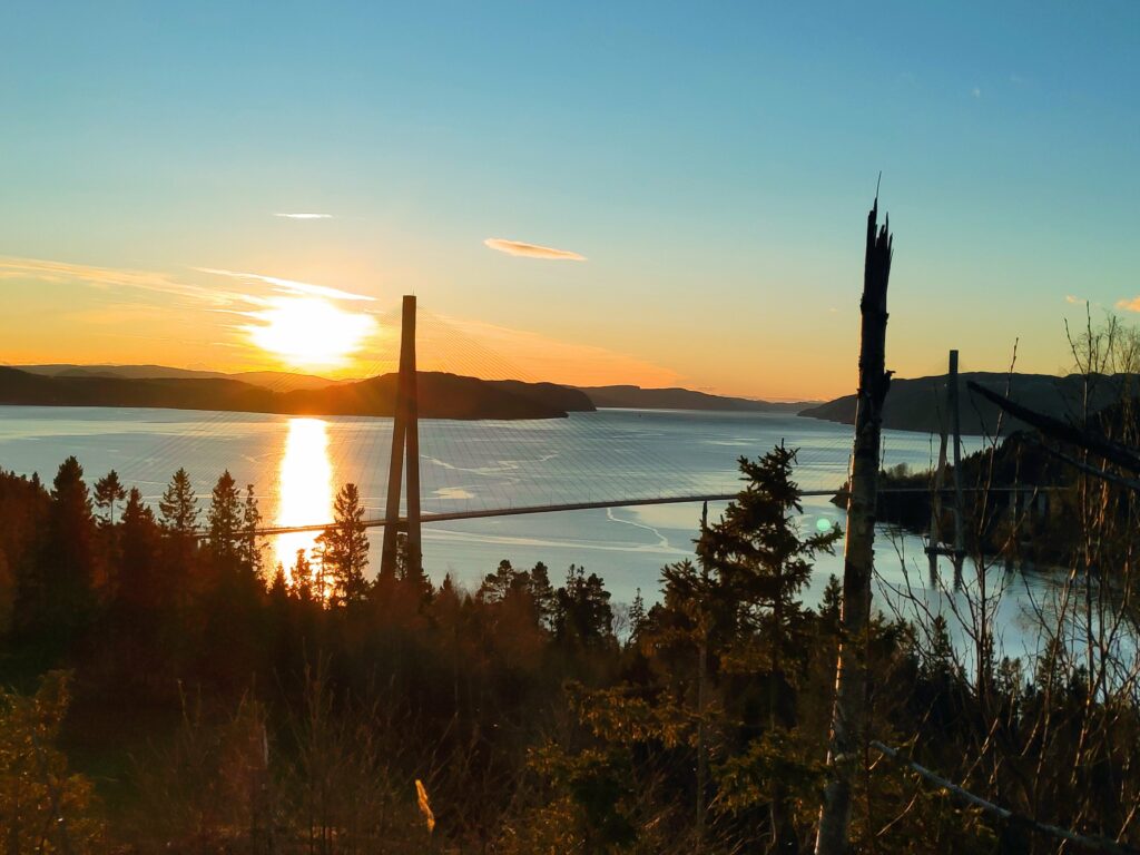
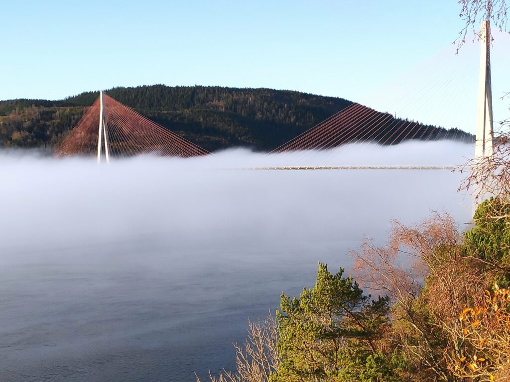
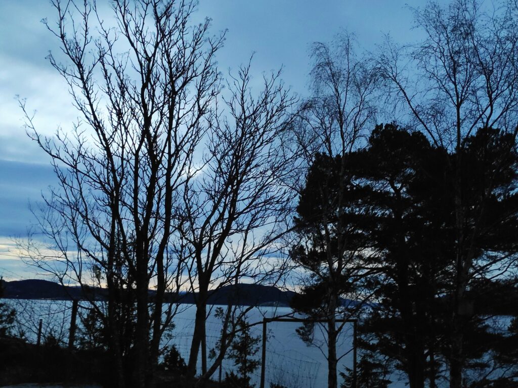
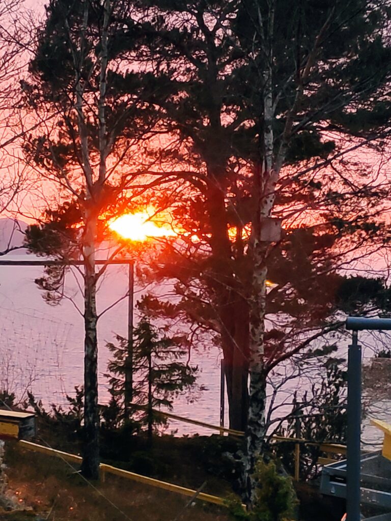
3 Civil Twilight

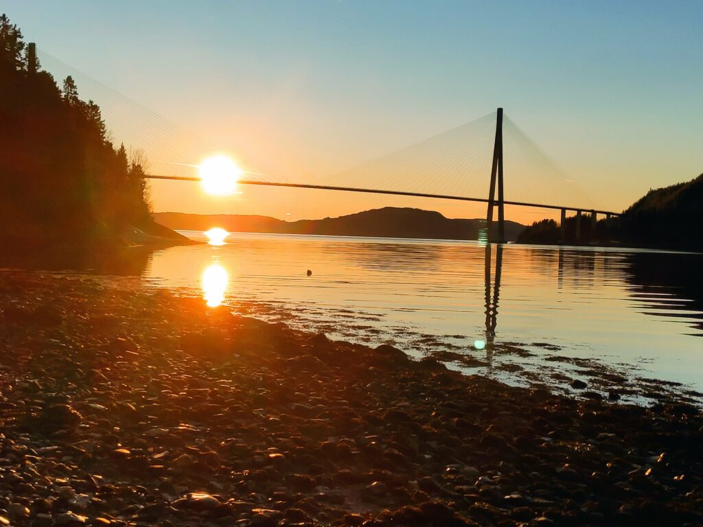
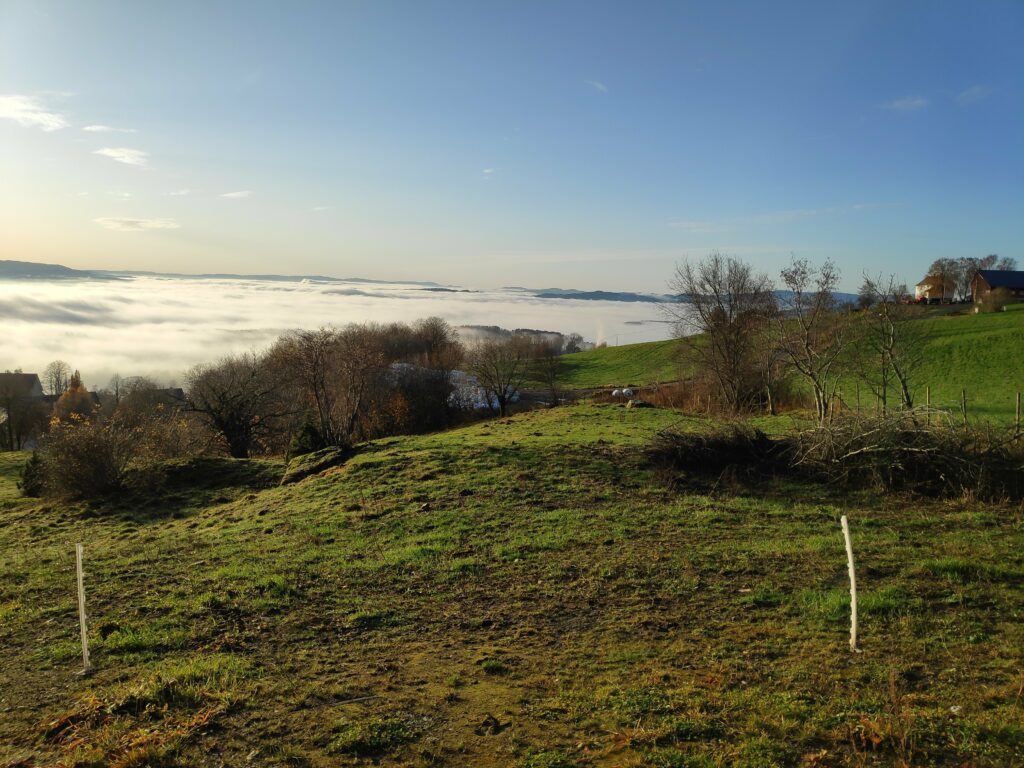
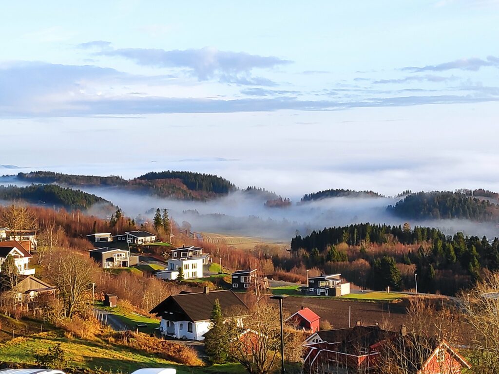
At Vangshylla today, civil twilight was between 8:48 – 10:05 and 14:23 – 15:40. This is about an hour and a quarter for each period.

2020.12.22, 9:14, taken looking towards where the sun will rise, during civil twilight. Today it was cloudy all day. If there had been a clear sky, there would have been more light. It still feels dark and lights are needed indoors to function. Outdoors one can do things without additional light.

This is the brightest form of twilight. In the morning, civil twilight begins when the sun is 6 degrees below the horizon and ends at sunrise. In the evening, civil twilight begins at sunset and ends when the sun is 6 degrees below the horizon. During these two periods there may be enough natural sunlight that it is not necessary with artificial light to do things outdoors. Some countries use this definition to make laws regulating the use of headlamps and street lamps and can also be used in rules affecting aviation and hunting.

Sunrise in Straumen, Inderøy at 10:05. Heavy cloud means that the morning is quite dull.
2020.12.22, 14:10, 13 minutes before sunset. The ball of the sun is just going behind the hill in the distance. There is still a lot of cloud, and it was raining where I was taking the pictures, but the sun’s rays shine under the clouds.
2020.12.22, 14:58, 35 minutes after sunset, so civil twilight. There is still a bright glow in the sky in the direction the sun has set. There is still enough light to do things outdoors.
2020.12.22, 15:46, so at the beginning of nautical twilight. There is still enough light to get a picture, though I had to put my cellphone on night mode. There is still a bit of a glow in the direction that the sun set over an hour ago. The lights in houses in the distance are showing up in the picture.

Twilight in the summer

The length of twilight is affected by a location’s latitude, so that places closer to the equator have shorter periods of twilight than those places that are at higher latitudes. During the summer months at higher latitudes, such as northern Norway or northern Canada, there may not be any difference between astronomical twilight after sunset and astronomical twilight before sunrise.

So let’s look at my location. From 2021 April 11 until 2021 September 2, there is no official “night”. There is only twilight. From 2021 April 28 until 2021 May 20, there is no astronomical twilight, only nautical and civil twilight. From 2021 May 21 until 2021 July 22, there is only civil twilight. From 2021 July 23 until 2021 August 14, there is both nautical and civil twilight. From 2021 August 15 there will again be astronomical twilight and from 2021 September 2 there will be night as well.

I like the period between the end of April and the middle of August as it never really gets dark at night. Knowing that there will be lots of light in this period, helps me get through the short, dark days in November, December and January. At the summer solstice, on June 21, we get 20 hours and 53 minutes of daylight and the rest is civil twilight. This is quite a contrast with the winter solstice on December 21 (see the blog I wrote yesterday) when there is only 4 hours and 17 minutes between sunrise and sunset.

My source

Winter Solstice 2020 in Inderøy

The winter solstice in the Northern Hemisphere is the summer solstice in the Southern Hemisphere. One should more accurately call this the December Solstice as there is also a solstice in June, which in the Northern Hemisphere indicates the longest day of the year, i.e. the day with the most daylight hours. The December solstice is a particular time on a particular day, when the sun is exactly over the Tropic of Capricorn. In 2020 this happens on the 21st of December at 10:02 UTC, or at 11:02 local time where I live.

The sun was just clearing the hills in the distance at 11:02 local time. The picture was taken from sea level, at the high water mark on the beach. Note how orangey the colour are just after sunrise when the sun is still very, very low in the sky.

For those of us living in the Northern Hemisphere, this is the shortest day of the year, i.e. the day with the least amount of daylight.

Because of latitude and the way we keep time, the latest sunrise and the earliest sunset will not occur on exactly the solstice. The earliest sunset will occur before the winter solstice and the latest sunrise will occur after the winter solstice. (See explanation here)

How much of a coincidence is it that Christians celebrate the birth of Christ (Christmas) a few days after the winter solstice in the Northern Hemisphere? Here in Norway, Christmas becomes a festival of lights as the number of daylight hours is at a minimum and people like light.

So let’s look at some of the numbers for my location in Vangshylla, Inderøy, Norway

DateSunriseSunsetHours of daylightSolar Noon
Dec 1810:0314:214 hours, 18 minutes, 37 seconds12:12
Dec 1910:0314:214:17:5612:12
Dec 2010:0414:224:17:3112:13
Dec 2110:0514:224:17:2412:13
Dec 2210:0514:234:17.3312:14
Dec 2310:0514:234:17:5912:14
Dec 2410:0614:244:18:4312:15
Notice that I have given the sunrise and sunset to the nearest minute, but one actually needs to include the seconds to show the exact number of minutes of daylight and to see the changes from day to day. There isn’t much difference between Dec 19 and Dec 21, only 32 seconds .

The latest sunrise is on December 24th and 25th at 10:06. The earliest sunset in on December 16th, 17th, 18th and 19th and 14:21. There are very small changes each day around the solstice. However, with exact astronomical calculations, the day with the shortest number of daylight hours is December 21st with 4 hours, 17 minutes and 24 seconds.

I have also included in the table when the solar noon is, that is, when the sun is at its highest position in the sky. This varies slightly from day to day, because the day is not really 24 hours long. Around the December solstice, solar noons are a little bit farther apart each day.

This photo was taken at 12:13, showing its highest position in the sky on the December solstice. Note how there is less orange in the photo and more blue, partly because the sun is higher in the sky, but also it is partly covered by cloud.

My source for information is: https://www.timeanddate.com/calendar/ten-things-december-solstice.html. By going to Sun & Moon, you can write in your location and get the relevant times.

Today I found another spring flower blooming, spring phlox. In my garden, this plant is often eaten by deer in the winter, so it often blooms later than it should. This year it is still growing well, even in December and has put out two flower buds. Is it hoping to bloom before the deer come to eat?

Inderøy Walk – Skarnsund

Today’s walk started from home at about 11:30. We have a very short period of daylight at this time of year and as today was sunny, it was important to get out in the sunshine. My husband and son were my walking companions today and our goal was a small beach on the east side of Skarnsund.

As we walked down our driveway, I saw the first “spring” flowers blooming. I normally buy primroses in January in a store, so these plants are used to blooming in the middle of winter. This plant got moved last summer to a new location and it seems to have done very well to be blooming in December. They often will continue to bloom under the snow.

Our walk continued across farm fields, around the neighbouring farm and across another field. We have no snow on the ground and the temperature today was about 7 degrees Celsius.

Here we are following a tractor road along the hillside. There were icy bits and it was very rough as the farmer’s cows have been out grazing in this direction. Skarnsund is just visible to our left and in the distance.
When one sees the viewing platform in the woods, it is time to look for an opening in the fence as the trail goes down past the viewing platform The hill in the background is on the other side of Skarnsund. You would need to cross the bridge to get to it.
The hole in the fence which can be blocked off in the summer when there are animals out grazing. In the winter the gap is usually left open.

The slope down to the water is quite steep and one needs to walk carefully. I prefer to do it now when I am with others, in case of mishap. There are other trails in the woods here, most of them would be made by the deer. This area has not been logged recently, so it is nice old forest.

Here is the trail we are following which will take us down to two cabins and a beach. Note the green rope on the right which is a guide line down the slope. It is mostly just laying on the ground, sometimes covered in vegetation and not necessarily safe to grab, but it does show that you are on the right trail.

At this time of year, there are a lot of dead leaves on the path, which can make it slippery. However, there was no ice on the path as we are under the trees. It is hard to take pictures that show how steep the slopes are here, but one does not want to wander off the trail.

A deer trail taking off from the main trail we are following. We live in a temperate rain forest with primarily spruce trees. Where the trees stand tight together, little light gets to the floor of the forest so very little else grows. Here there are mosses and lichens under the trees.

Eventually we came to the stream that drains this hillside. There is even a little bridge to help cross it and a sturdy handrail.

A small stream tumbles downhill. There are also two waterlines that will take water from the stream to the cabins below.
We continued to follow the trail that now also had a waterline on it. This is a very common sight in the cabin areas around here. The lines may freeze in the winter, but people mostly use their cabins in the summer half of the year.
Skarnsund Bridge from the north east. This photo was taken at 12:14, so approximately when the sun is at its highest in the sky for today.

It was lovely to just be on the beach for a while. The sun was shining and there was no wind. The water was calm. There was snow on distant hills, but nothing close by. We were also far enough away from the bridge that the noise of the traffic was almost not heard. There were no fishermen out today. Everyone here is busy getting ready for Christmas celebrations.

Looking north. One’s location in relation to hillsides will decide if you get sunshine or not at this time of year. We live on the right side to get sunshine. The housing area on the other side of Skarnsund is Framverran.

The beach is not sandy at all, but in relation to many places along Skarnsund, there is a place to walk for a couple of hundred meters before the next impassable section of rock comes. At high tide, most of this beach would disappear under water. We were there when the tide was about halfway between low tide (at 9:17 and 122 cm) and high tide (at 15:36 and 290 cm), so an incoming tide.

A view of the bridge on our way back home, from the part of the trail that is possibly at the highest elevation. A check on the map on my cellphone tells me that we are at about 140 meters above sea level. It’s been a glorious sunny day.

I don’t take this walk very often, but today was a good day to do it. Sunshine, no wind, plus degrees in the air and two good companions. We used a little more than an hour and a half on our walk.

Inderøy Walk – Fog and Øyna

Wednesday is my usual day to go for a walk with a girlfriend. The weather forecast was for sunshine so I was looking forward to today’s walk. As I went out to the car, I noticed fog rolling across the water, coming out of Skarnsund. As I stood watching for a few minutes, the fog rapidly moved out over Trondheim Fjord.

Picture taken at 9:38 looking towards Skarnsund Bridge.

I had agreed to meet my friend at her house in Straumen and I was anxious to see where there was fog and where there wasn’t fog. As I had hoped, the fog was mostly on the water and if we walked uphill, we would be in the sunshine.

We choose to walk up to Øyna, a hotel and restaurant located near the top of a hill in Straumen. (See their website for more information about them. You can also get information about them in English here.)

Øyna, a commercial enterprise having hotel accommodation and a restaurant serving locally produced food. It lies at the top of a hill and lies low in the terrain.
The newest hotel units also lie low in the landscape but each room has a beautiful view over Straumen, Trondheim Fjord and the surrounding area.

Even on a foggy day, the views from here were good though, of course, not as good as on a sunny day. In the picture below you can just see the top of the spire of Sakshaug Church, sticking up from the fog. This picture is taken looking between two of the new units of the hotel, so this is the sort of view there would be from the hotel rooms themselves.

Looking down the hill from Øyna towards Straumen, most of which is hidden in the fog. In the background are the hills of Levanger.
Looking westwards towards Trondheim. We are now high enough above the fog to get an interesting picture of how the fog covers the fjord. Where you see white, it should be mostly fjord underneath the fog.
I always find it interesting how patchy fog can be, especially when looking at it from above. Here I am looking eastwards towards two of the housing areas of Straumen. Not everybody has sunshine.
Back home and this picture was taken at 12:00. There is more fog on Skarnsund, but it is still lying low over the water.
The fog is wispy over the water, but not rising particularly high above the water, so I am still in the sunshine.
Looking towards Ytterøy with the small boat harbour at Vangshylla in the center. The sun is low in the sky, even at noon.

I had a most enjoyable walk, including a good climb up the hill in Straumen, an exploration of an area I hadn’t seen for several years, and lots of sunshine. We used about 75 minutes on our walk today.

Local food

I made a decision a while ago to buy locally produced food when it was conveniently available at a competitive price. I don’t buy everything that might be available as it must be things that we use.

Two of the products that are produced on local farms in our neighbourhood are eggs and milk.

I started buying eggs quite a while ago now. It is a short walk up to the neighbouring farm. We get 30 eggs at a time and we can also buy double-yoked eggs or cracked eggs at differing prices. I buy just the regular eggs.

In addition to eggs, I can also get cucumbers at the egg farm, though the cucumbers are produced at another farm in Inderøy. Though I don’t purchase it, I can also buy honey here, produced by the farmer’s wife. I find their price a bit high, so have only purchased it once.

I also buy my whole milk in a bottle at a farm that is just a little bit farther away, but still within walking distance. I usually get two liters of milk at a time. One pays a deposit on the bottle on the first purchase and after that one returns the empty bottle and only pays for the milk itself.

In both cases I use a small backpack to carry home the food. Eggs are put into 12-egg cartons which nicely fit in the backpack. Two or three liters of milk also fit nicely into the backpack, though not both eggs and milk at the same time.

To pay for what I purchase, I can use my telephone to send the money while I am at the farm. No invoices or delayed payment. I pay when I take the food. I often meet the farmers and it is nice to chat to them for a few minutes.

This is one way that I can contribute to farmers trying out new marketing ideas.

Inderøy Walk – Utøy trail

The nature trail that starts in Vangshylla goes all the way to Straumen. What can be driven in a car in 12 km, will be 19 km if you decide to walk along the trail. I have never done the whole trail all at once, but I have done most of the trail, in easier portions.

Vangshylla used to have a ferry in order to cross to Mosvik. Now it is mostly a small boat harbor and there is a building where you can rent accomodation or a small fishing boat. There are about 30 cabins in the area and about 10 houses with full-time residents.
In 1991, the ferry was replaced by a bridge that spans Skarnsund. The bridge is just over one kilometer long. We moved to Vangshylla in 1988, just as they were starting to build the bridge.

As usual, there is an information board, with a map and some information about things along the trail.

The information board at Vangshylla about the culture trail from Vangshylla to Straumen.

The term “culture trail” (kultursti) indicates that there will be information along the trail, either about the animals or plants that are there, or human buildings that are still there or used to be there. There can be information about how the place got its name. The idea is that you are supposed to learn something as you walk along the trail.

This sign is at the beginning of the trail and you can just see a cabin behind the sign. The main part of the trail is 13 km, but since this sign was made an additional 6 km have been added at the Straumen end of the trail.

When starting at Vangshylla, the trail first follows a road that goes both to full-time dwellings and cabins that are only occasionally lived in. The trail is considered to be of medium difficulty.

This picture was taken a while ago, after a rain shower, and before the trees had their leaves out.
Much of the trail goes through the woods and is pleasantly shady on a warm June day. Notice that the trail is well-used and the tree roots make the surface very uneven.
This shows a close-up of the map showing the section from Vangshylla to Forr. I usually walk to Bjønnbrøttet which this year is a check-in point for Inderøy walks. The red dotted line is the trail and the small black squares are the houses or cabins. There are quite a few cabins in this area, in the woods and overlooking the fjord.
The trail can be quite steep at times. Here it goes quite steeply down into a ravine.

The goal for today’s walk was a shelter that has been there for many years. I have been taking this walk for most of the thirty years that we have lived here. Things have changed during this time, but I continue to enjoy the walk that is partially through these shady woods.

The shelter for post 25, the goal of today’s walk.
This sign inside the little shelter explains how the place got it’s name. The story is in both Norwegian and English.
The view from the shelter, looking across Trondheim Fjord, towards Ytterøy, which is in Levanger municipality.
The sign indicates which post one can check-in to here, and the dark box has a book in which you can write your name. The book is out all year and some people like to count how many times they visit this location.

Surprise at Vangshylla

While walking across Skarnsund Bridge yesterday, this ship came into view.

Ship approaching Skarnsund Bridge.

Ships from the company, Hurtigruten AS do not usually sail up Trondheimsfjord as far as Vangshylla, though Trondheim is one of the regular stops on the coastal route between Bergen and Kirkenes. The name on the ship is Fridtjof Nansen.

MS Fridtjof Nansen, owned by Hurtigruten AS having sailed under Skarnsund Bridge

The ship sailed under the bridge and continued towards Steinkjer. At home I looked up information about the new ship which didn’t seem to have any passengers on board. It soon sailed back under Skarnsund Bridge and headed towards Verdal.

MS Fridtjof Nansen, having just sailed south under Skarnsund Bridge

Looking up the ship on www.marinetraffic.com, I found out that the ship was on a “sea trial”. The ship was built at Kleven Yard, located in Ulsteinvik, Norway and it had been delivered to Hurtigruten AS on 2019.12.20. The ship is scheduled to have its inaugural voyage in March 2020.

The ship uses hybrid battery powered propulsion to reduce fuel use and CO2 emissions. It appears that the ship will be used for Antarctic cruises. Its sister ship, MS Roald Amundsen, is currently cruising between Chile and Antarctica.

More information about the company, Hurtigruten AS, can be found at: https://global.hurtigruten.com/ including the cruises that they offer.

More information about their newest ship, MS Fridtjof Nansen, can be found at: https://global.hurtigruten.com/ships/ms-fridtjof-nansen/