Today’s walk started from home at about 11:30. We have a very short period of daylight at this time of year and as today was sunny, it was important to get out in the sunshine. My husband and son were my walking companions today and our goal was a small beach on the east side of Skarnsund.
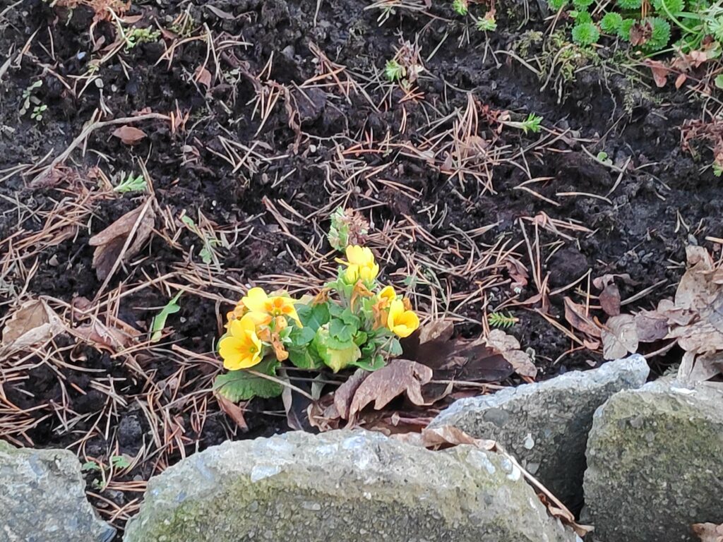
As we walked down our driveway, I saw the first “spring” flowers blooming. I normally buy primroses in January in a store, so these plants are used to blooming in the middle of winter. This plant got moved last summer to a new location and it seems to have done very well to be blooming in December. They often will continue to bloom under the snow.
Our walk continued across farm fields, around the neighbouring farm and across another field. We have no snow on the ground and the temperature today was about 7 degrees Celsius.
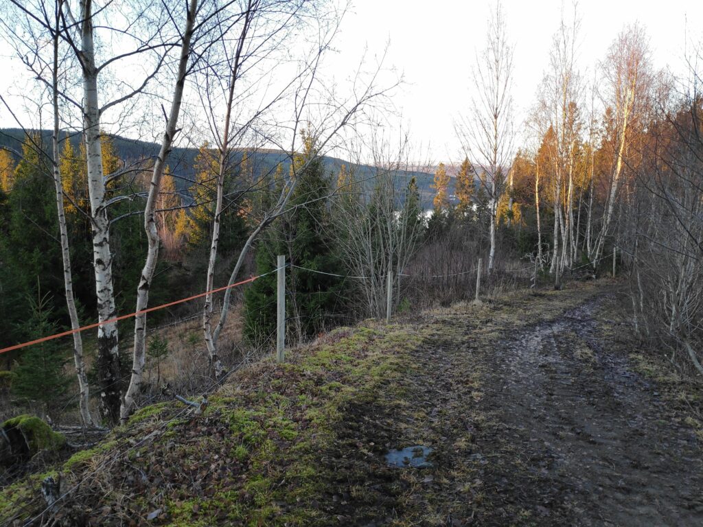
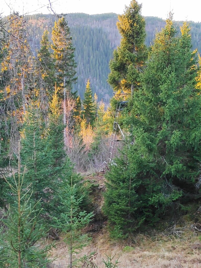
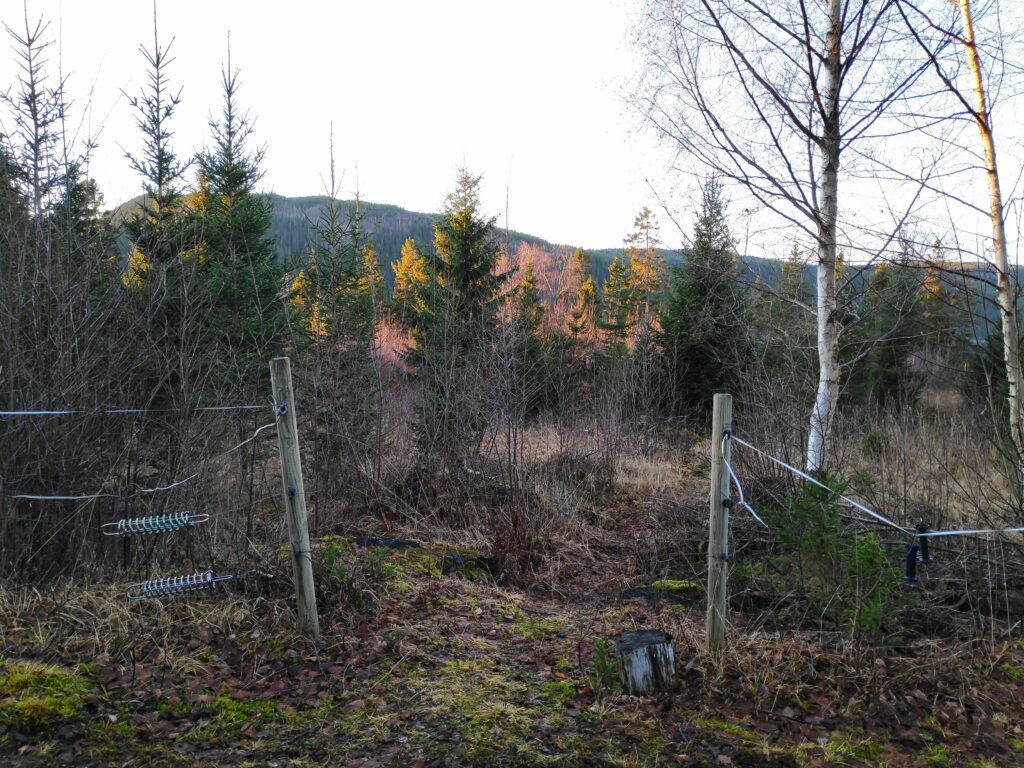
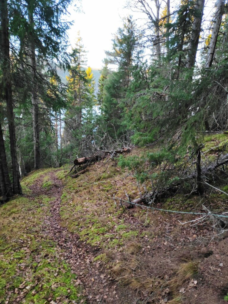
Here we are following a tractor road along the hillside. There were icy bits and it was very rough as the farmer’s cows have been out grazing in this direction. Skarnsund is just visible to our left and in the distance.When one sees the viewing platform in the woods, it is time to look for an opening in the fence as the trail goes down past the viewing platform The hill in the background is on the other side of Skarnsund. You would need to cross the bridge to get to it.The hole in the fence which can be blocked off in the summer when there are animals out grazing. In the winter the gap is usually left open.
The slope down to the water is quite steep and one needs to walk carefully. I prefer to do it now when I am with others, in case of mishap. There are other trails in the woods here, most of them would be made by the deer. This area has not been logged recently, so it is nice old forest.
Here is the trail we are following which will take us down to two cabins and a beach. Note the green rope on the right which is a guide line down the slope. It is mostly just laying on the ground, sometimes covered in vegetation and not necessarily safe to grab, but it does show that you are on the right trail.
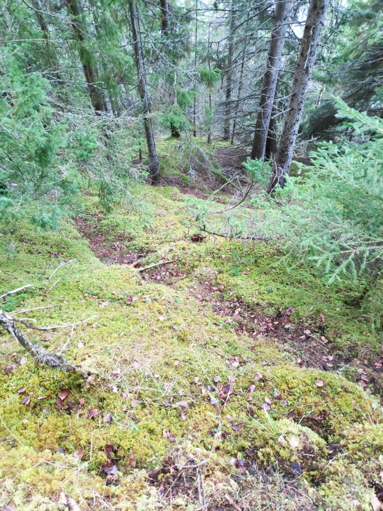
At this time of year, there are a lot of dead leaves on the path, which can make it slippery. However, there was no ice on the path as we are under the trees. It is hard to take pictures that show how steep the slopes are here, but one does not want to wander off the trail.
A deer trail taking off from the main trail we are following. We live in a temperate rain forest with primarily spruce trees. Where the trees stand tight together, little light gets to the floor of the forest so very little else grows. Here there are mosses and lichens under the trees.
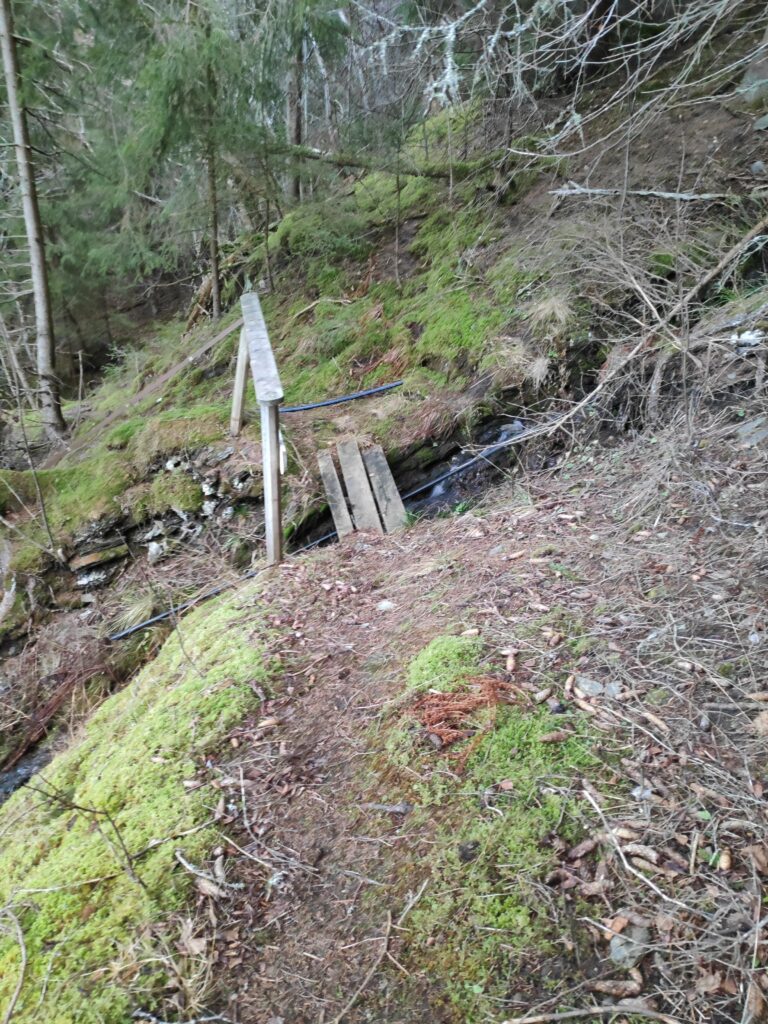
Eventually we came to the stream that drains this hillside. There is even a little bridge to help cross it and a sturdy handrail.
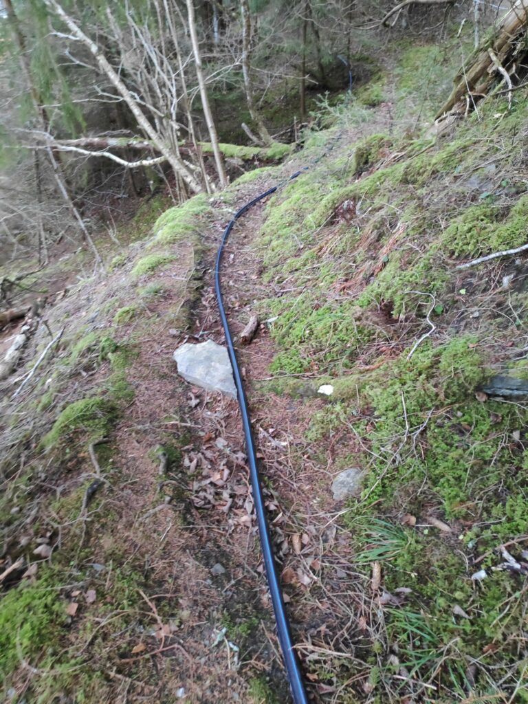
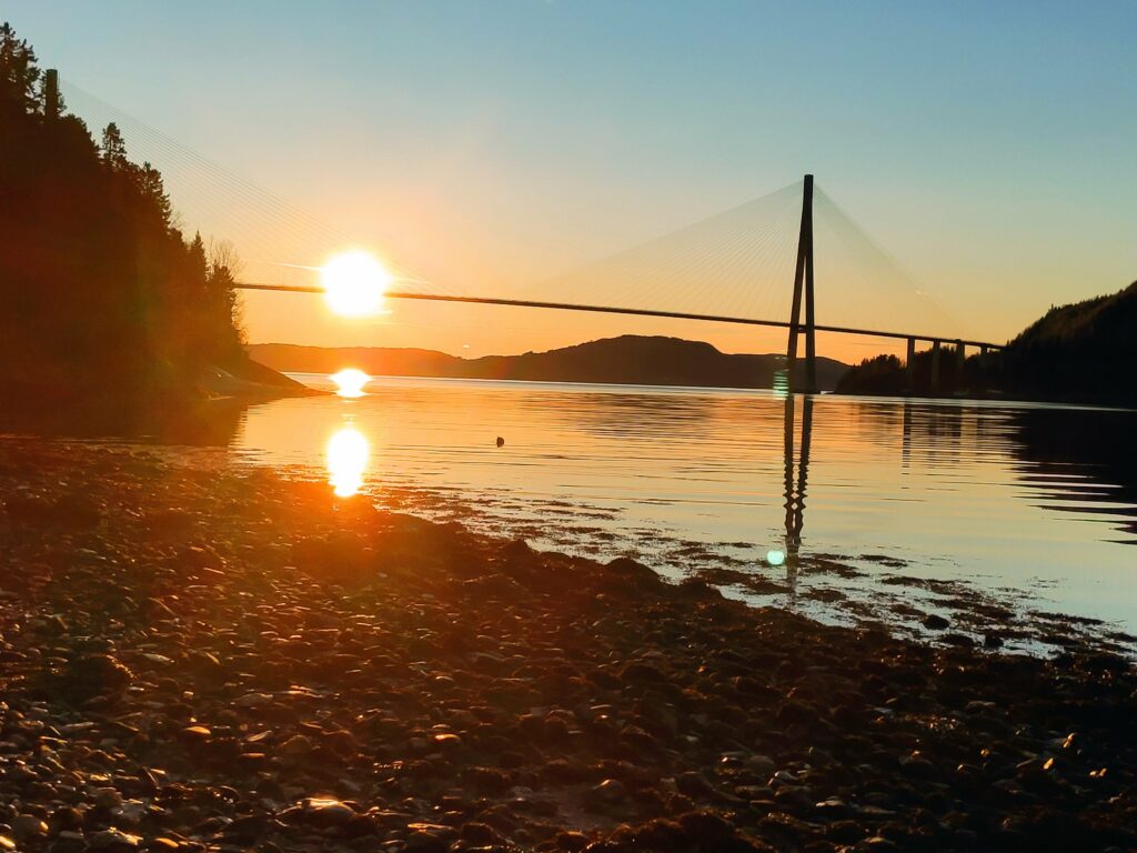
A small stream tumbles downhill. There are also two waterlines that will take water from the stream to the cabins below.We continued to follow the trail that now also had a waterline on it. This is a very common sight in the cabin areas around here. The lines may freeze in the winter, but people mostly use their cabins in the summer half of the year.Skarnsund Bridge from the north east. This photo was taken at 12:14, so approximately when the sun is at its highest in the sky for today.
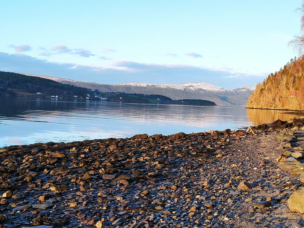
It was lovely to just be on the beach for a while. The sun was shining and there was no wind. The water was calm. There was snow on distant hills, but nothing close by. We were also far enough away from the bridge that the noise of the traffic was almost not heard. There were no fishermen out today. Everyone here is busy getting ready for Christmas celebrations.
Looking north. One’s location in relation to hillsides will decide if you get sunshine or not at this time of year. We live on the right side to get sunshine. The housing area on the other side of Skarnsund is Framverran.
The beach is not sandy at all, but in relation to many places along Skarnsund, there is a place to walk for a couple of hundred meters before the next impassable section of rock comes. At high tide, most of this beach would disappear under water. We were there when the tide was about halfway between low tide (at 9:17 and 122 cm) and high tide (at 15:36 and 290 cm), so an incoming tide.
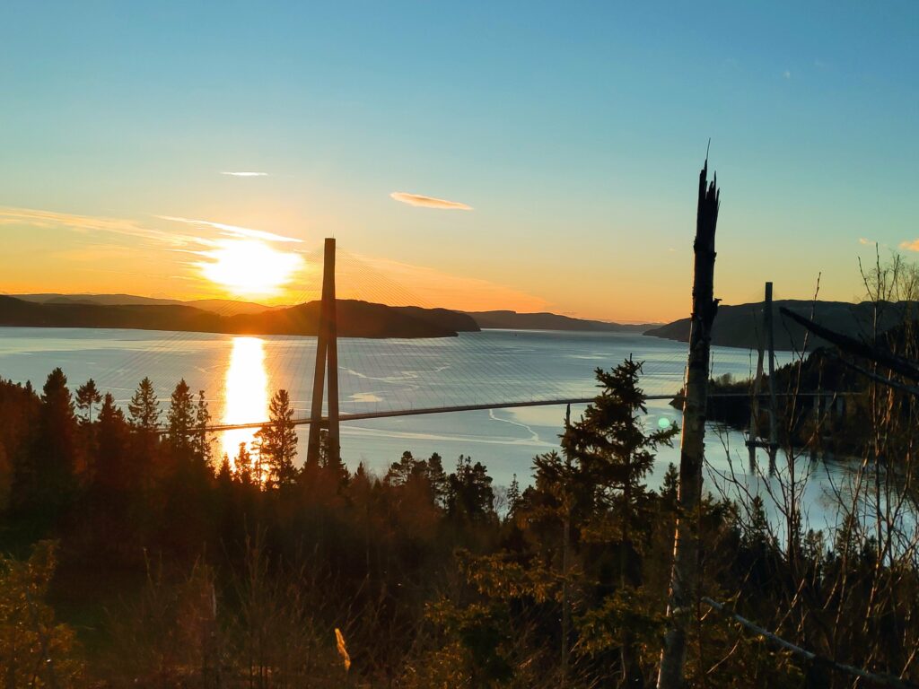
A view of the bridge on our way back home, from the part of the trail that is possibly at the highest elevation. A check on the map on my cellphone tells me that we are at about 140 meters above sea level. It’s been a glorious sunny day.
I don’t take this walk very often, but today was a good day to do it. Sunshine, no wind, plus degrees in the air and two good companions. We used a little more than an hour and a half on our walk.