Sunday’s walk, with my husband and son, was to a hilltop not that far from where we live. I like the walk to Storlia (The Big Hill) and it is a walk I like to do about once a year as the views are spectacular from the top. However, it is quite a climb and I suggested we do the walk today while the temperature wasn’t too hot and there was a bit of a breeze.
We parked the car at about 120 meters above sea level and the hilltop we were heading to is about 380 meters above sea level, so this was a walk with a climb. Some parts of the path are quite steep, but I’ve done this walk several times and was prepared for it. The view from the top is worth the climb and the weather looked like it would be a good day to do it.
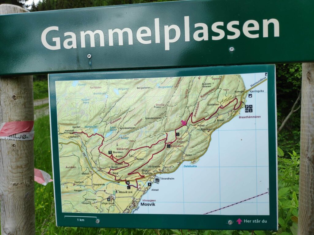
It can always be wise to have a picture of the map on your telephone so you know where the major trails will go. We are at the point with a red arrow
We parked at Gammelplassen where there is a map of the trails in the area and sufficient place for several cars to park. We have passed a closed gate so one can expect sheep on the hill.
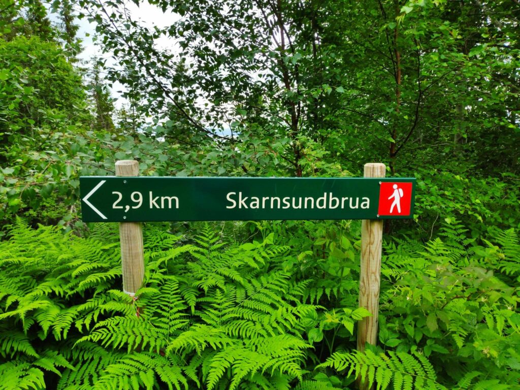
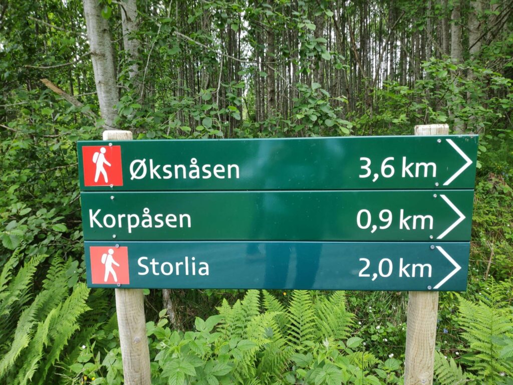
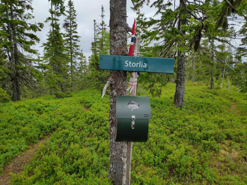
We are not that far from home, three kilometers to the bridge and one and a half kilometers over the bridge and through the woods to home. Note the ferns are growing well around the signposts.We have a two kilometer walk to Storlia on a red trail which means moderate difficulty with steep sections.
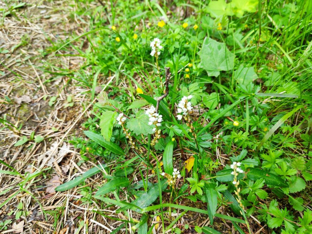
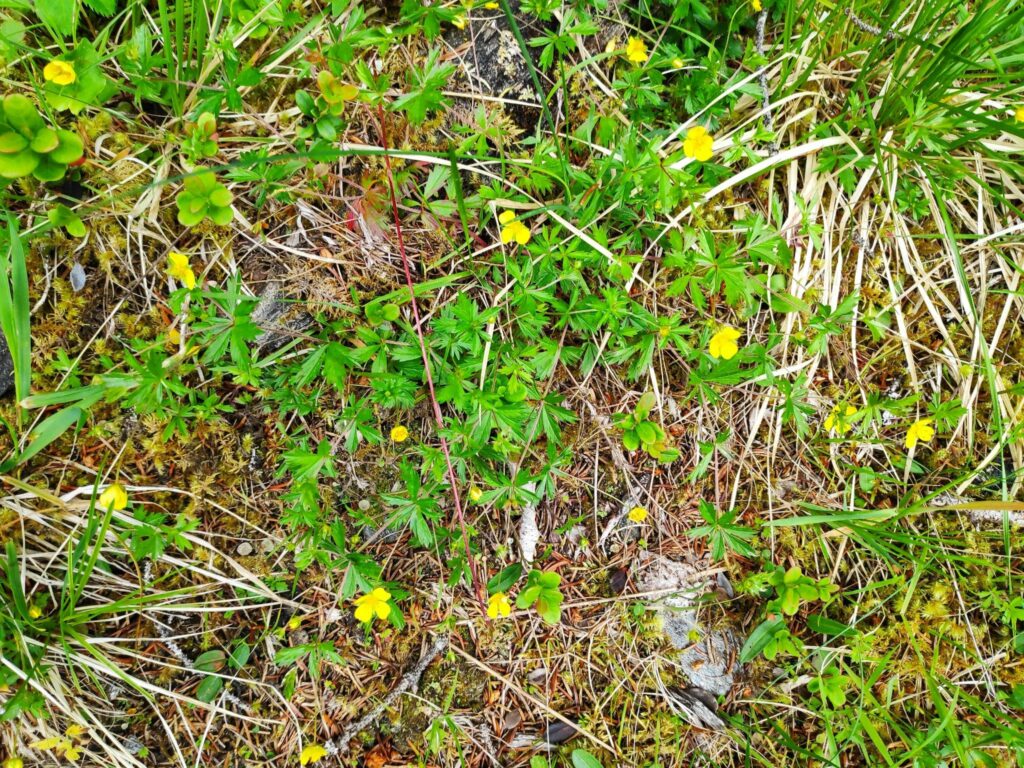
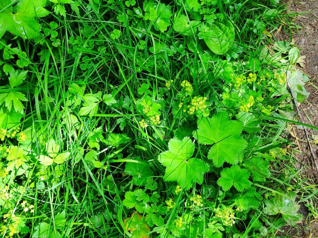
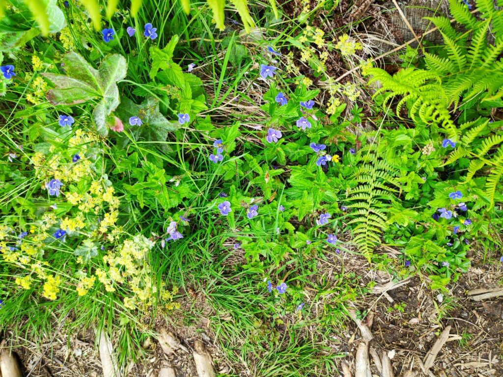
While walking uphill, I often stop to either look at the view or take pictures. Today I was mainly looking at the wild flowers that were blooming, many of which can be found in the wild areas of my own property. Taking pictures is a good way to get a pause while walking up steep trails. On looking at the pictures afterwards, I realize that it may be difficult to actually see the plant, however you will see the combination of plants that grow in the wild here.
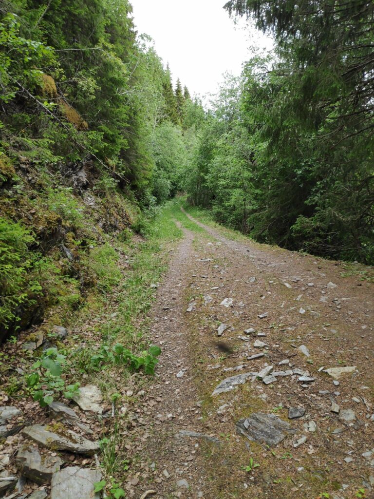
Today’s walk starts on a gravel road then climbs the hill, often on a trail that must have originally been a tractor road, probably made for harvesting the trees. Today the trees in this area are quite tall and it is many decades since they have been harvested.
Looking back down the trail after climbing for a bit. The others are ahead of me. I always like an excuse to stop in the middle of a steep section.
I’m no expert with plants but here are some of the common ones I saw on today’s walk. I have tried to find the Latin and English names as well as the Norwegian names.
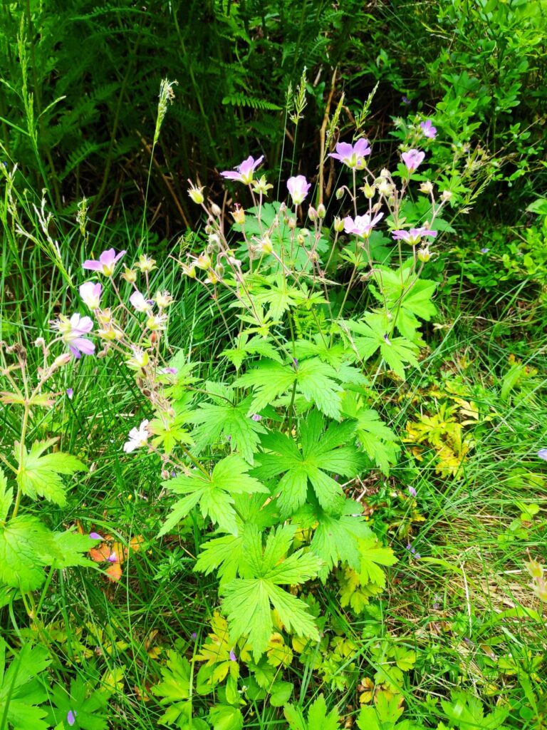
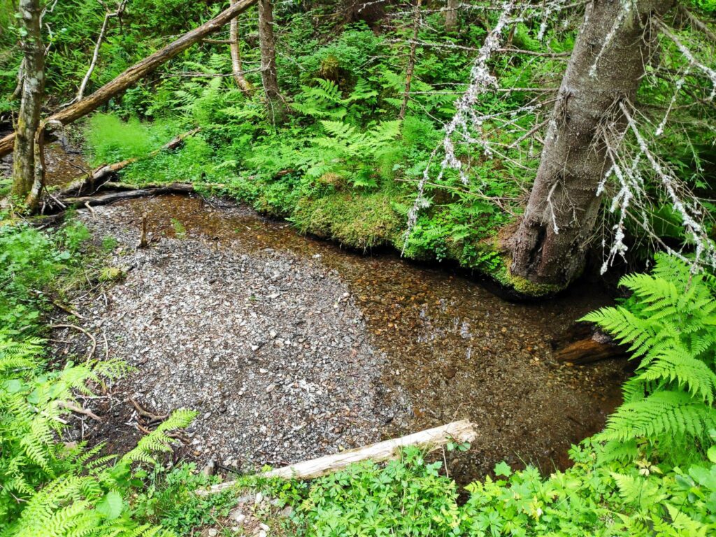
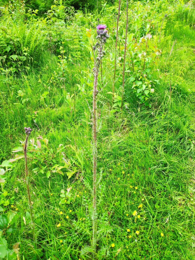
Vaccinium vitus-idaea is a member of the heather family. Called “tyttebær” in Norwegian and “cowberry in English, it produces a red berry that makes a nice jam to eat with meat. For those who live in North America, it would be used instead of cranberries.Ranunculus repens is a member of the buttercup family. It is called “krypsoleie” in Norwegian and creeping buttercup in English.Geraniaceae, sylvaticum is a member of the geranium family. It is called “Skogsstorknebb” in Norwegian and crane’s bill in English. It is a very common wild plant in our area, growing along roadways and open meadows.There was a little water in the stream, but we haven’t had much rain recently so there was little flow to the water. May and June have been dry months this year.Alchemilla family. This is a very common plant and I found it difficult to figure out exactly which plant this is. In Norwegian it is called “marikåpe” and I think it is called “Lady’s mantle” in English. It grows as a weed in our lawn and is difficult to remove. Along the edge of a road, it is a pretty plant with very large leaves. The thistles were just starting to bloom.I’m not sure what these blue flowers are, but they are a pretty blue when there are lots of them.
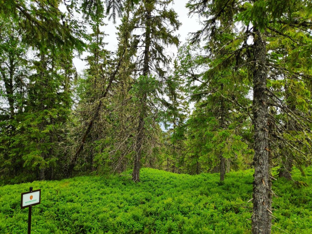
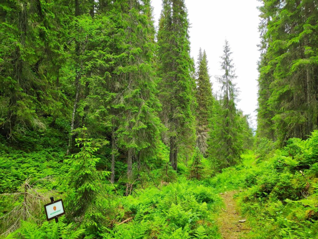
The top of the hill, and the goal of the walk is at the edge of a nature reserve called Skavdalen. This nature reserve was created in 2017 to protect old forest and covers 1012 decares (about 250 acres). (My source is only in Norwegian.)
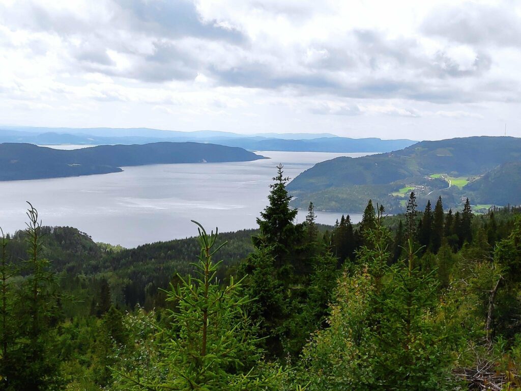
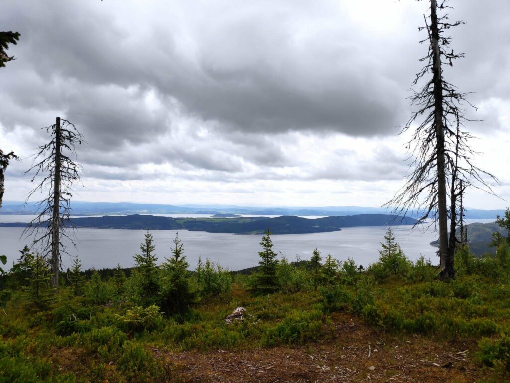
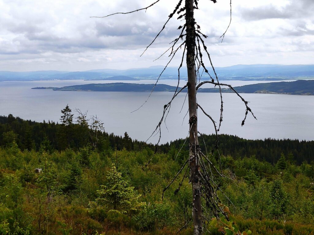
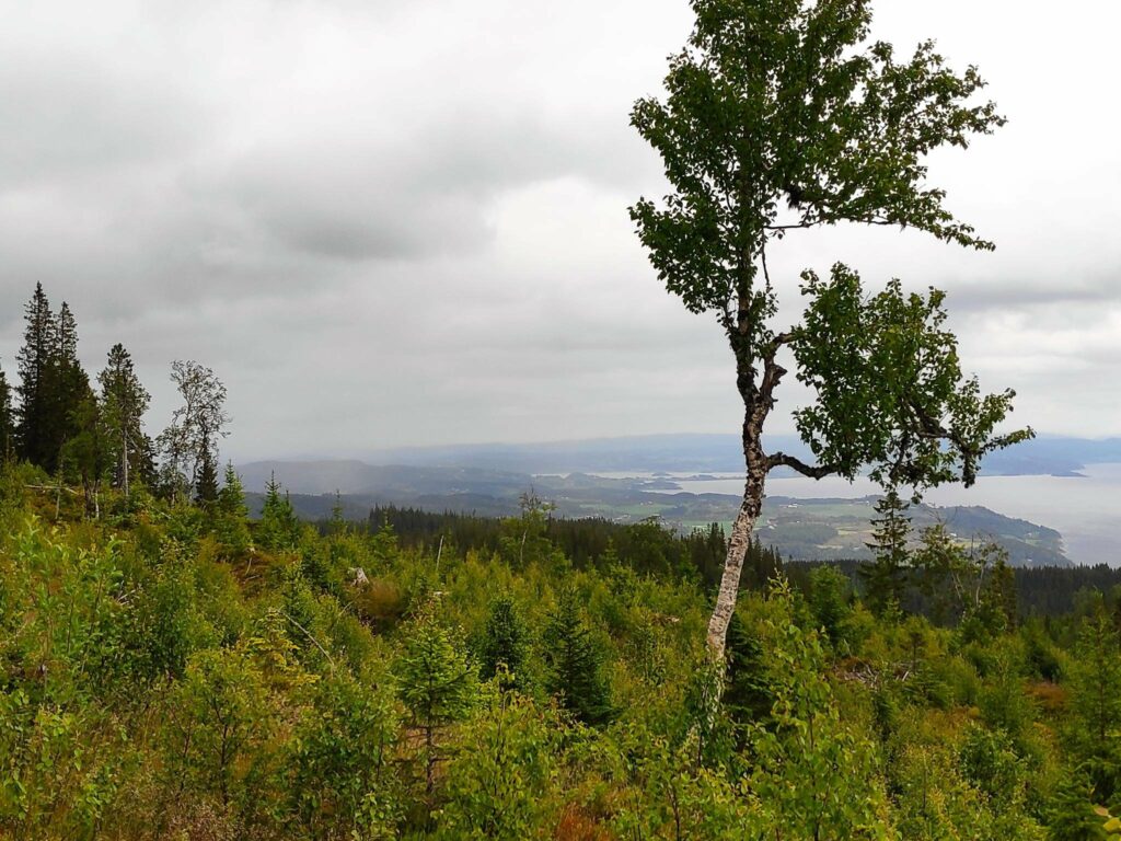
The top of Skavdalen nature reserve which covers 1012 decares of old forest. Here there were primarily spruce trees. On the forest floor there are cowberries and blueberries.We reached the goal of our walk. It was time to check in and get 40 points. There is a picnic bench to sit on and enjoy the view while one rests before heading downhill again.The view from the top is the reason for the walk. Even on a cloudy day, the view was spectacular. This picture is taken looking west with Mosvik center on the right and the island of Ytterøy on the left. We are at an elevation of about 380 meters above sea level.The western half of Ytterøy with Levanger in the background.The eastern half of Ytterøy with Verdal and Levanger in the background.Looking towards Straumen where it looks like it is raining. The agricultural area is Utøy.
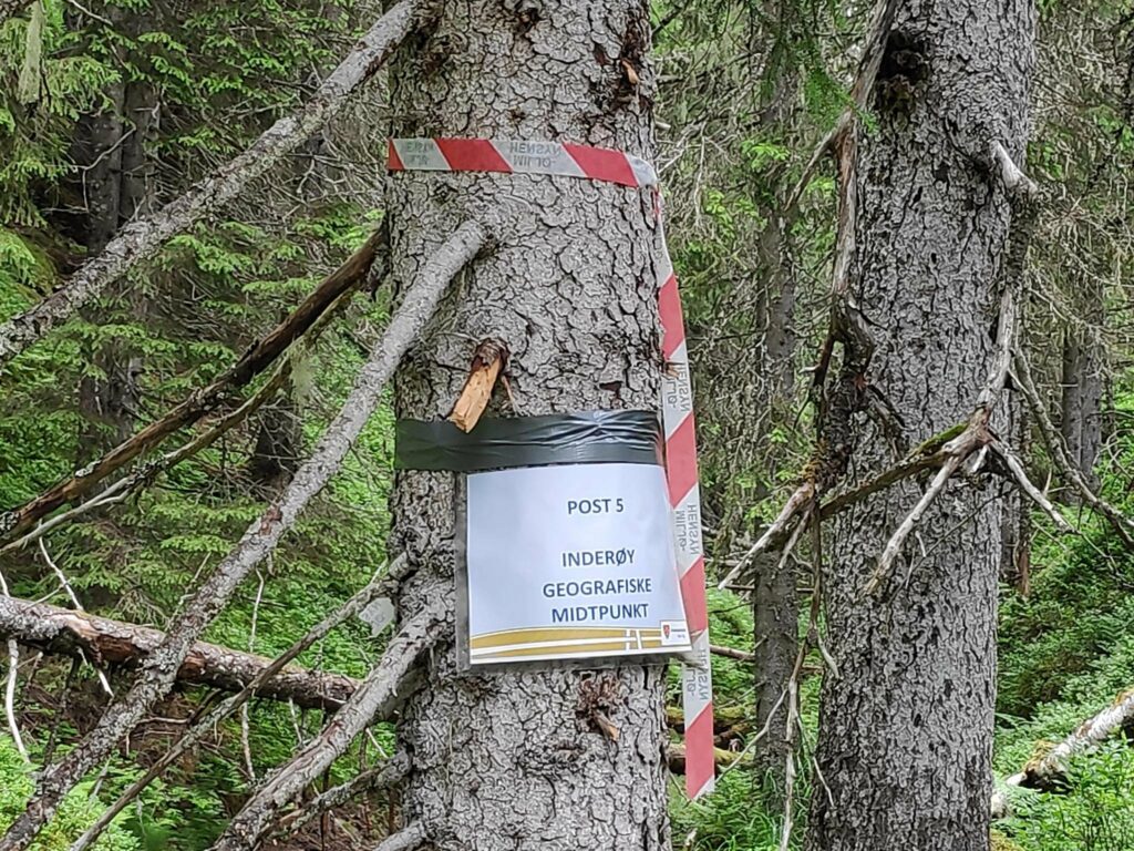
Today we gave ourselves a longer walk by also going to the post labelled “Inderøy’s Geographic Mid-point”, which is located in Tungdalen. It was about 700 meters from the trail we had taken up to Storlia, so we decided to find it as well. Though the trail went downhill at first, much of it was on a relatively level elevation. We entered Skavdalen nature reserve and with only one missed marking, found the post on the hillside.
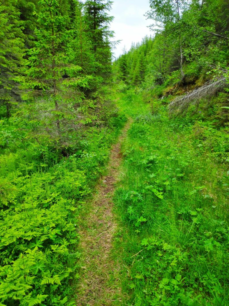
The path to the geographic center of the municipality of Inderøy is not very well-travelled. This is a new post this year and it is still early in the season.Here we entered Skavdalen nature reserve. We are walking along a narrow valley with a small stream at the bottom, though there was no great amount of water in the stream at this time of year.We found it eventually, on an old tree, up a slightly muddy slope.
Then we turned around and headed back to the car where we were all glad to sit down. We had been walking for about 2 hours.
I like to take the walk up to Storlia once a year, but I did not feel the need to go to Inderøy’s geographical mid-point again, though it was interesting to do it once.