“Næss” is a very common surname in Inderøy. An alternative spelling is “Ness”. One of the major farms in the Straumen area of Inderøy is called Næss and so there are quite a few places with “Næss” in the name, including this forested hill in between different housing areas in Straumen. “Berg” is a mountain or rocky hill.
I regularly go for walks with a girlfriend who lives in Straumen, and we often include climbing this hill on our walks. However, yesterday, I took the walk with my husband and in the opposite direction from what I normally do. That made it a bit more interesting too.
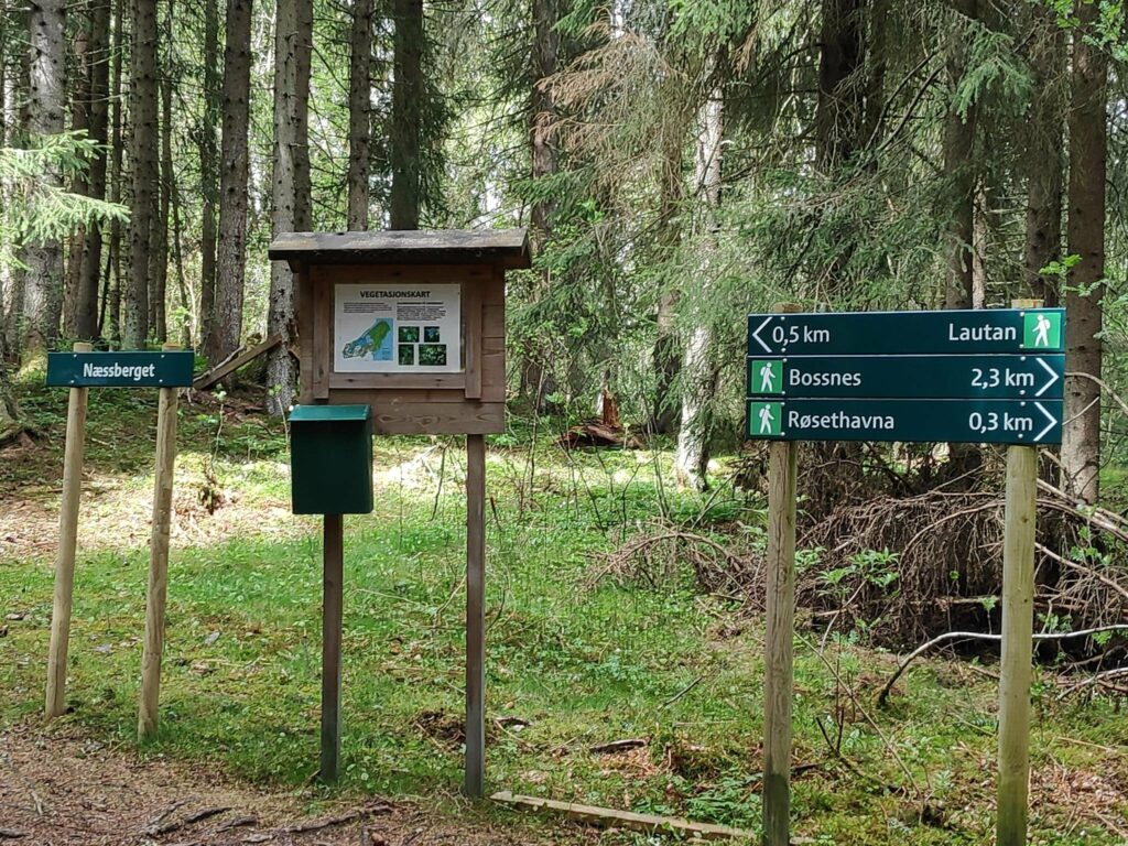
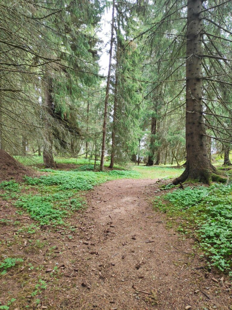
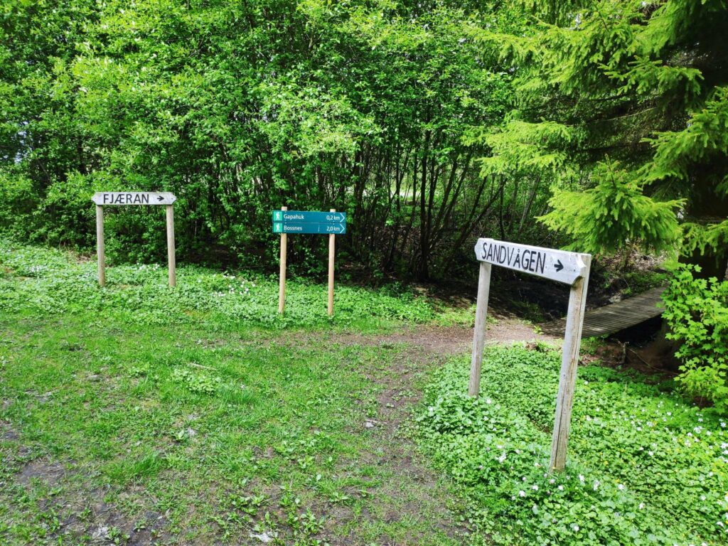
This is the top of Næssberget and from here you can go in three directions from this intersection in the woods. To the left one comes out at a housing area. To the right one comes out to a small harbor on Borgenfjord. If you continue in that direction another 2 km you can get to a farm called Bossnes. We came from Sandvågen which is behind me as I took this picture.
The post box will contain a book to write your name in to say that you have been here. Because of the pandemic, fewer people write their names in these books that are scattered in many popular walking areas.
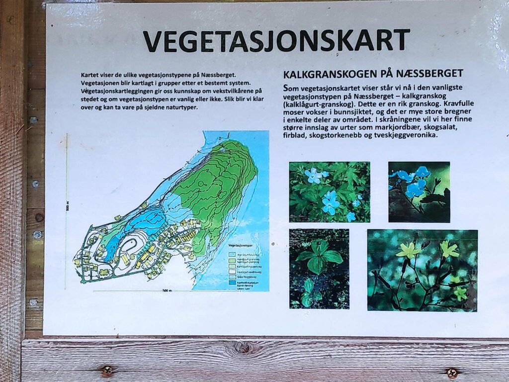
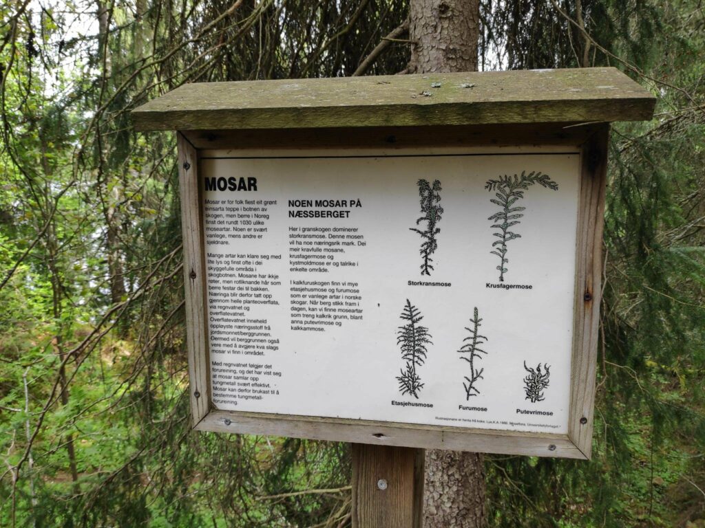
The information sign is about the vegetation in the area. The map shows the area called Næssberget and we are in the forested area indicated by green. This is a limestone based soil which gives a rich soil and a thick spruce forest. The yellow rectangles are houses and the dotted lines are where the trails go.
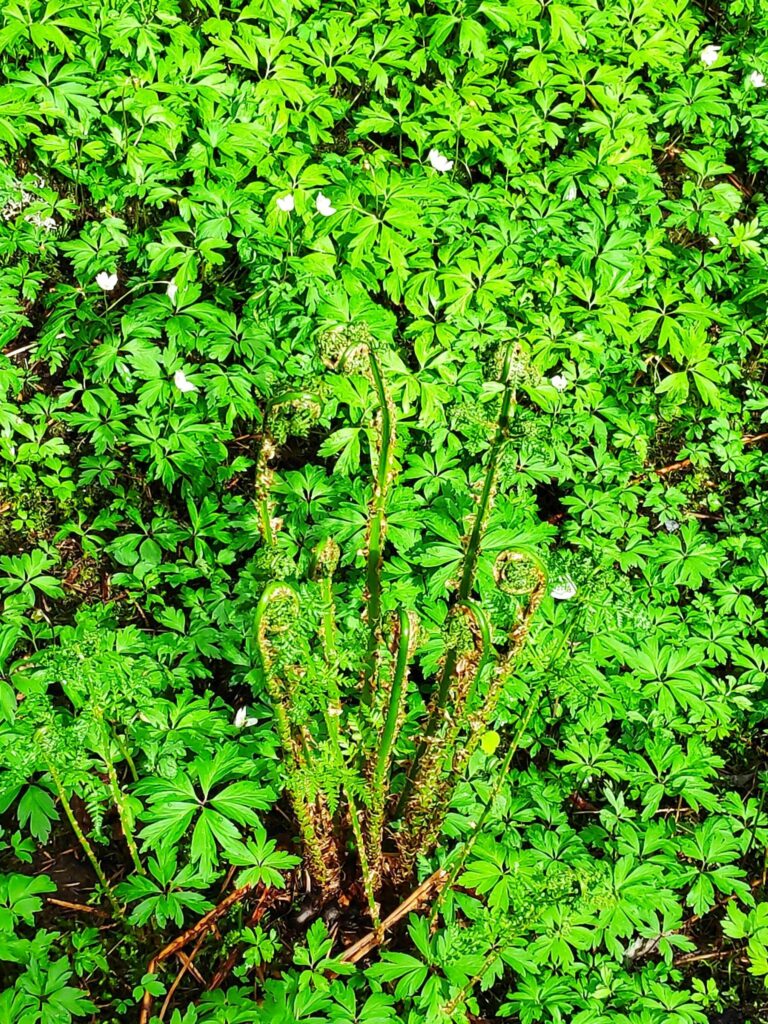
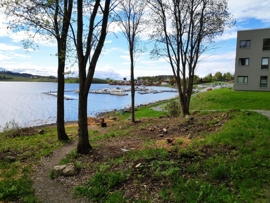
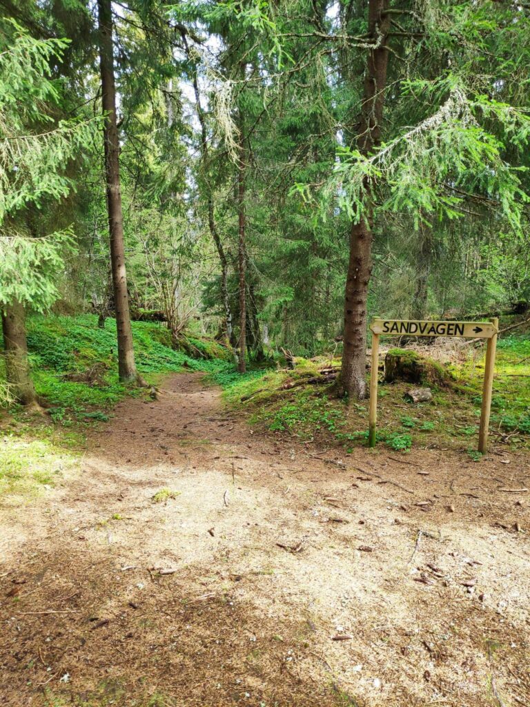
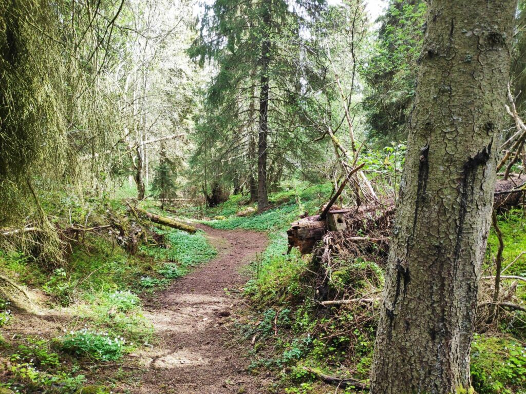
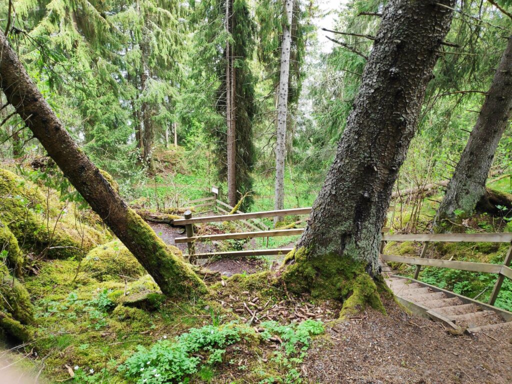
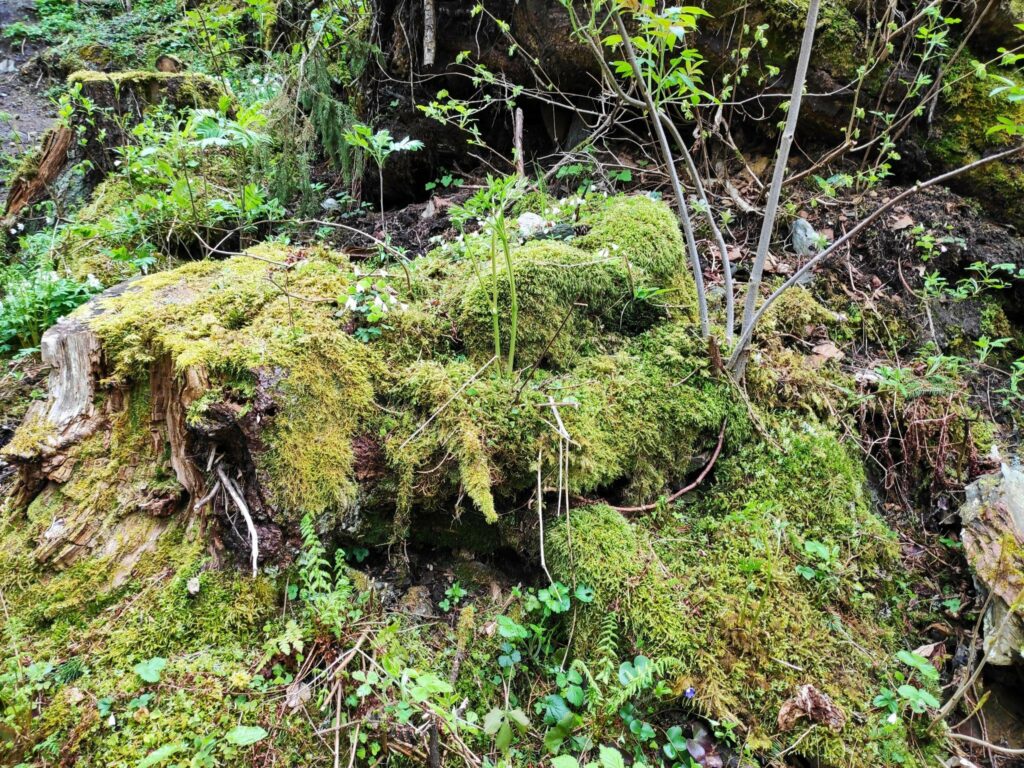
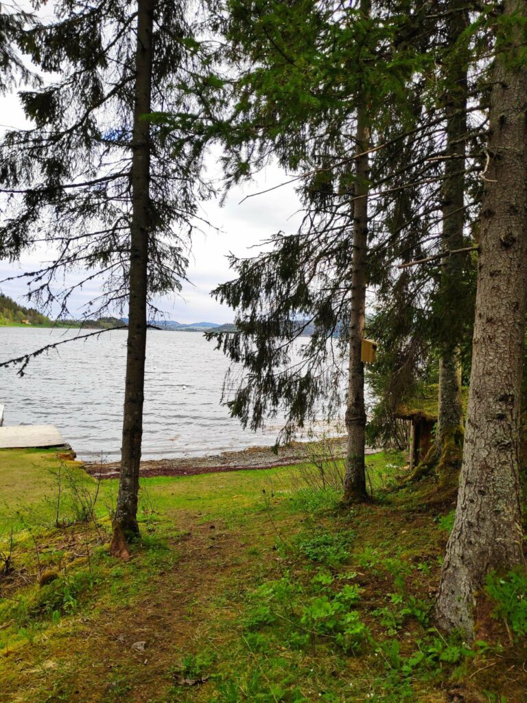
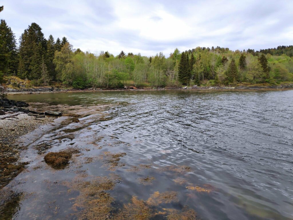
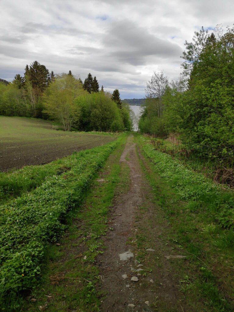
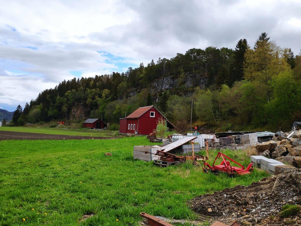
In the open areas under the spruce trees, white anemone and ferns grow. Here is a fern just unravelling its fronds.We started our walk in Sandvågen and the path on the right can be used by wheelchair users, though it only goes part way up the hill. Ahead is a small boat harbor on Borgenfjord and at the right you can see one of the new apartment buildings that have been sprouting up in this part of Straumen.The trail up the hill from Sandvågen is wide and easy to follow.We came from the right and are going to continue straight ahead to Røsethavna, half a kilometer of walking away and mostly downhill.This is old forest with fallen trees and old bird houses. Can you find the bird house in the picture?At this point the trail downhill gets very steep and there are stairs and a handrail. I usually walk up these stairs which is really quite a climb. It was pleasant to go down them this time.Half way down the hill there is an information sign about several different types of mosses that are found in this area.So I turned around and looked at the mosses on the ground behind me. Moss survives very well in shady areas, but like it where it is quite moist. These are on the slope as we went downhill.Røsethavna, with a small beach and a place to tie up a boat. This is part of Borgenfjord and Steinkjer municipality is in the far background.. It was very quiet and peaceful here on a Friday morning.The cove at Røsethavna at low tide.Choices, choices and you better know where you actually want to go. “Fjæran” is a beach at low tide. There are a lot of trails in this areas often leading to different housing areas.The path up from the small harbor to the housing area. Note that the leaves are out on most of the trees now and the grass on the field has just sprouted and showing green. Warmer temperatures and several days of rain encourage plants to get growing.Næssberget from the northwest. Røsethavna is to the left past all the red buildings.
We walked from Næssberget to the yarn shop and then through the residential area back to our car and so avoided climbing up the hill. This was a very pleasant walk away from the busy shops on a Friday morning.