
As I was going for a walk on my own, I thought that this Inderøy walk would suit a cloudy Wednesday afternoon. However, I read the information wrong and it was a lot longer than I was expecting, over 6 km. In the end I used an hour to go up the hill and an hour to come back to the car a slightly different, and slightly easier way. I usually figure 5 km is an hour and a half walk when in the woods. So 6 km ended up being two hours.
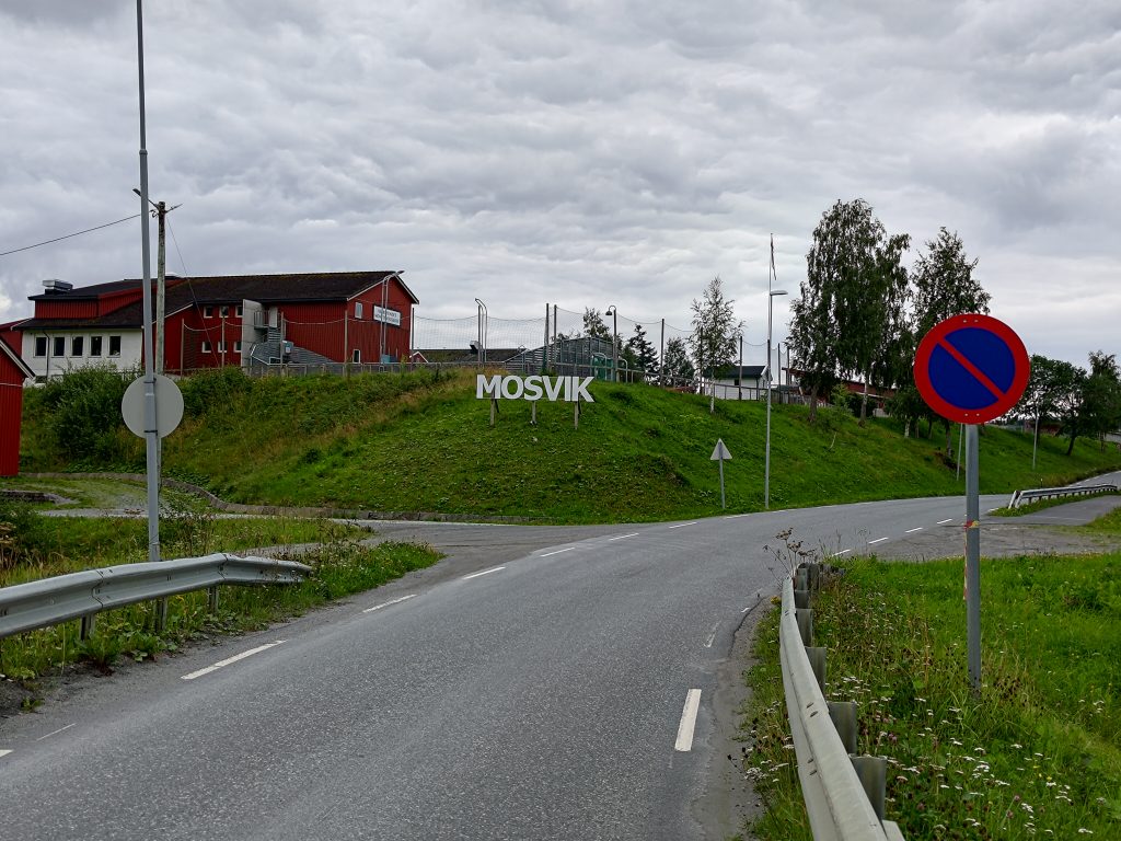
Mosvik is a very small village, with one food store with post office, a restaurant open mostly in the summer and not much else anymore. Even the main access to the village is across a one lane bridge. The elementary school has become a private school. The kindergarten has just closed down at the end of the school year after 40 years of existence. The residents are just not having enough children to even keep a kindergarten open.
But I’m not going into the village. ‘m going to walk into the treed hills. It’s a walk I’ve done before, though I don’t remember all of it. Memories came back as I walked along, first a tractor road and then a forest trail to find a picnic table.
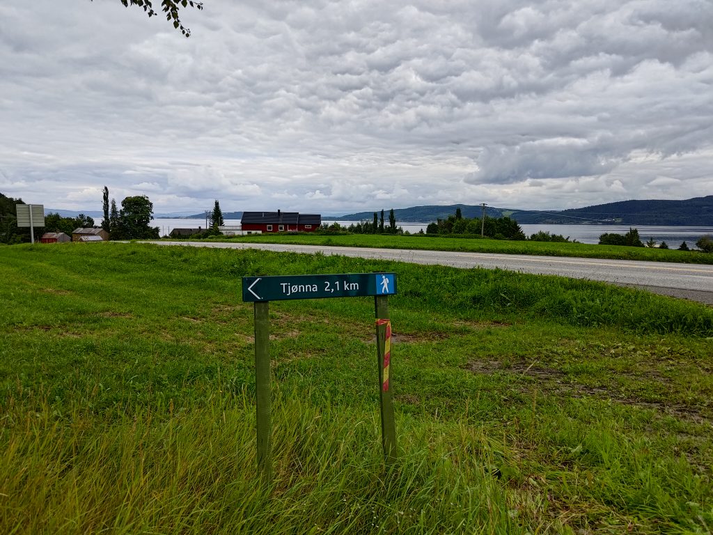
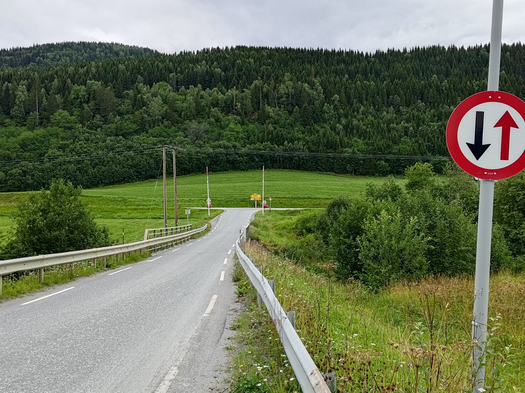
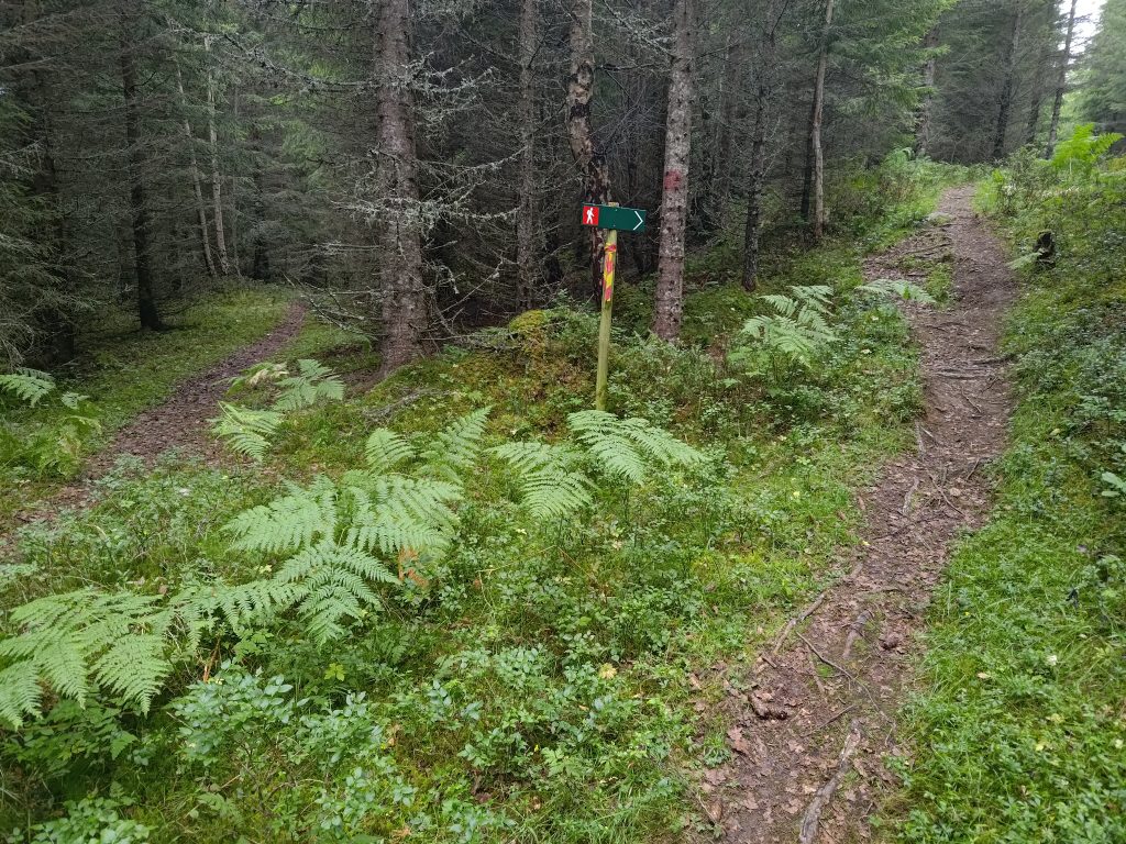
The red and yellow marker on the pole indicates a marked Inderøy walk. I’m headed in the correct direction. The blue man indicates an intermediate trail that should be relatively easy walking for me. It is a little over 2 km to a small pond (tjønna), though that is not the goal of my walk. I will turn off before the pond and go farther uphill.
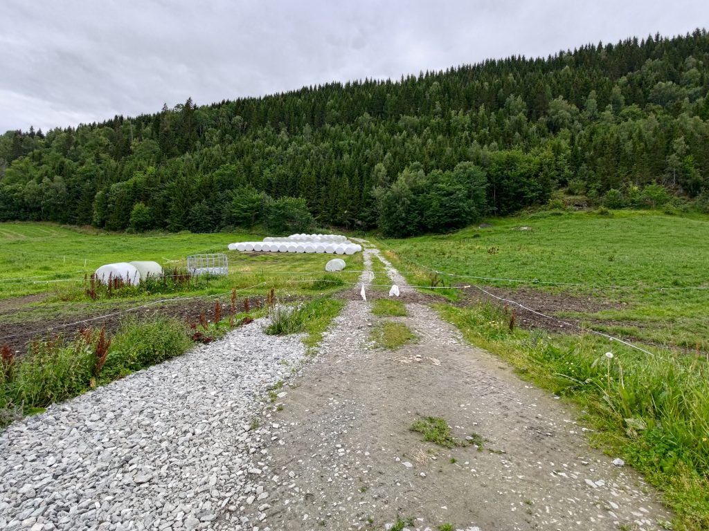
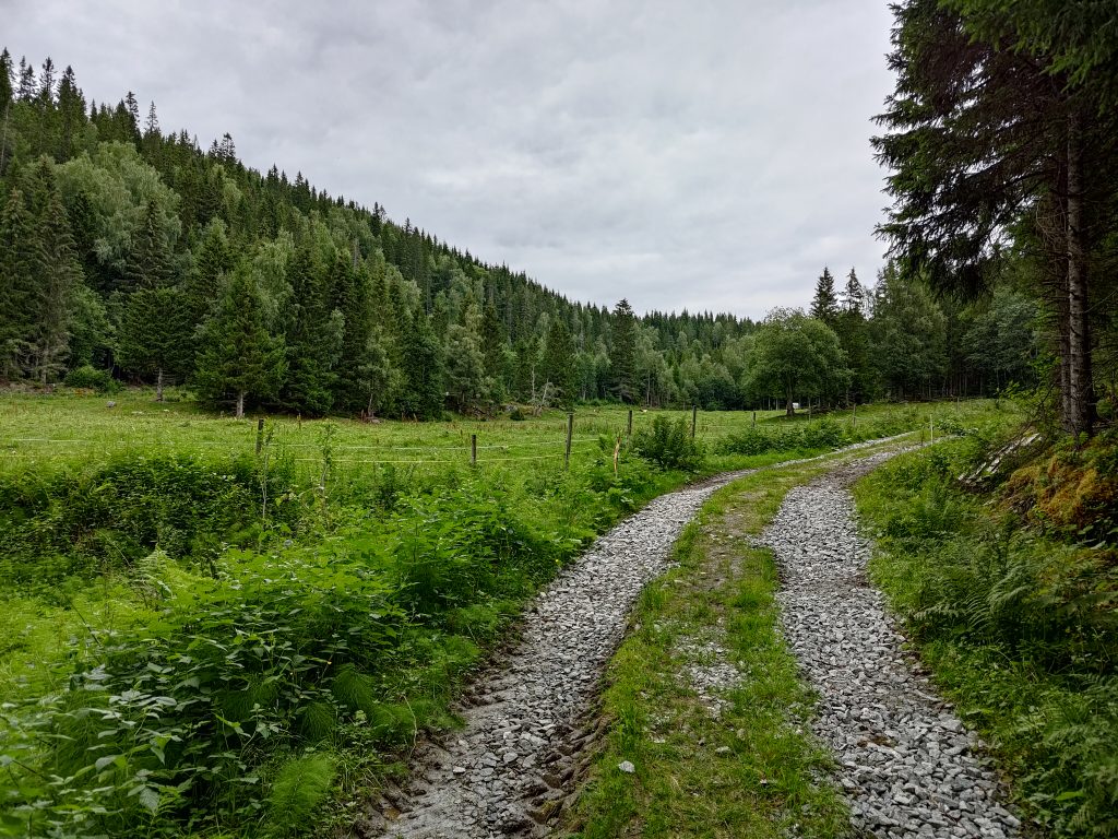
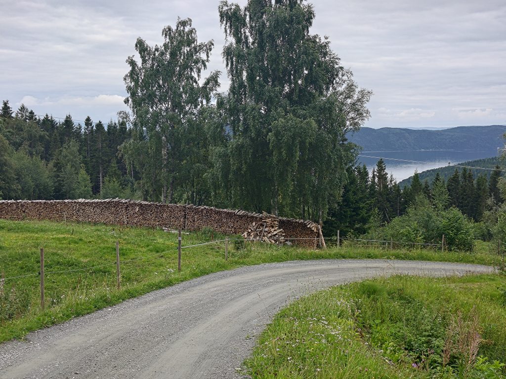
This is summer time and there were animals in the field on the right. There are two electric wires across the road I want to follow. I’m used to opening and closing such wire fences after living 35 years in a farming area. The animals were curious, but let me cross . This is July, so the farmers have already cut their grass fields once, hence the tractor eggs, or what I think of as marshmallows, lined up beside the road. That will be food for the animals in the winter time.
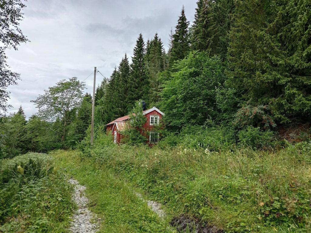
I followed the tractor road up the hill. There was lots of new gravel on it, especially in the bits that might have been muddy. I saw evidence of a tractor having driven on the road recently and I wondered why the road was kept in such good condition. What was up the road? Suddenly I saw a building on the left as I climbed the hill. When I got closer, it didn’t look particularly used.
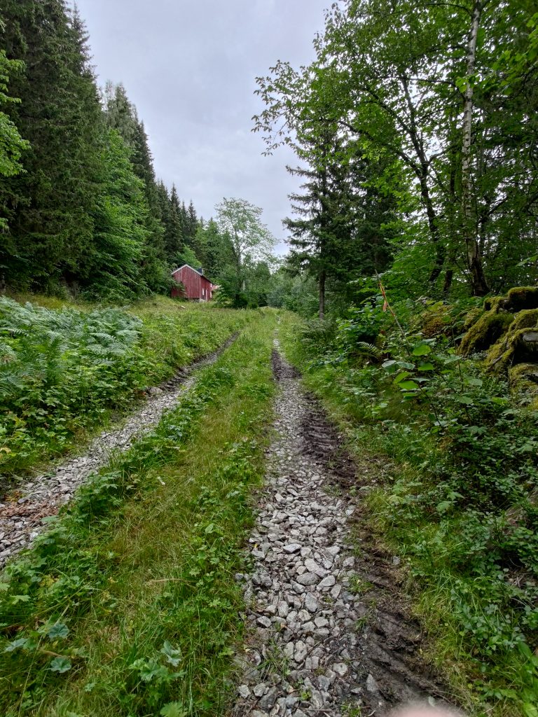
I continued on up the hill, still following the tractor road that had definitely been maintained and used.
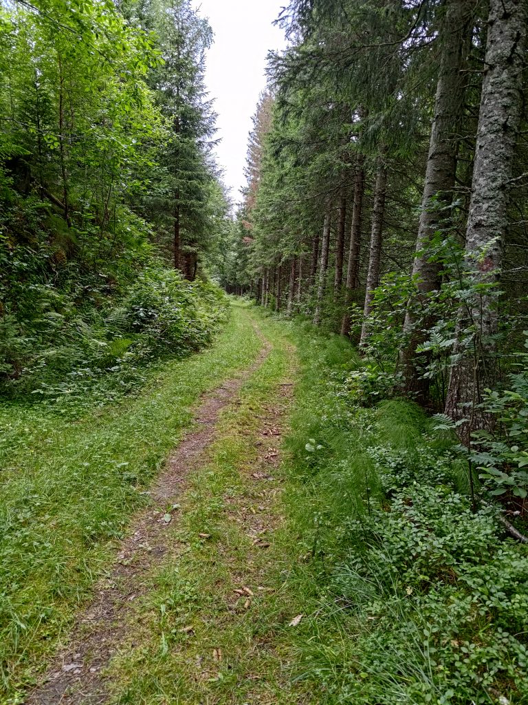
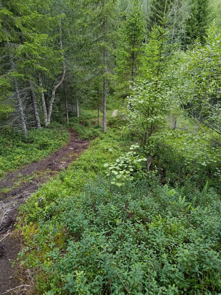
Suddenly the reason for the road became obvious. A fenced-in meadow with grazing cattle. The cattle don’t show up in the picture, but they are there. At the far end of the field is a large container of water for the animals. When I got to that container, the maintained road changed into a more common forest trail. Though once a tractor road, possibly for taking out lumber, it was now only used for walkers and wild animals.
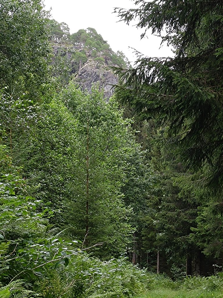
In a previous blog I have written about Furufjellet (The Pine Mountain) and here I caught a glimpse of it in the distance.
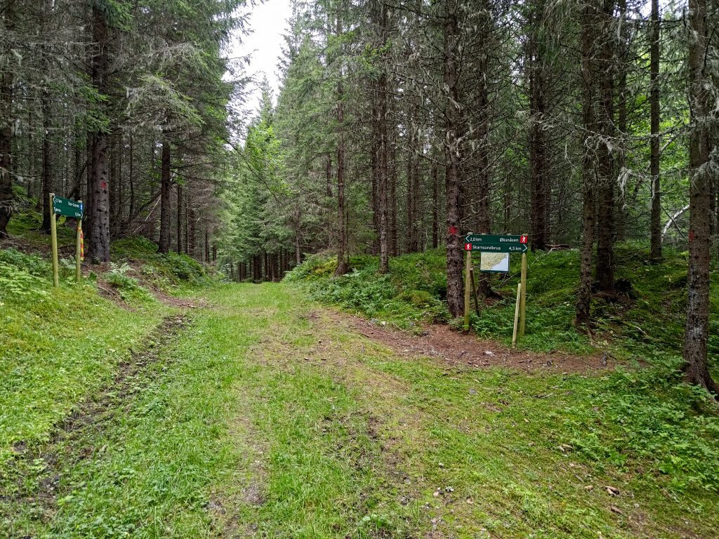
Then I had to make some choices. Going straight ahead is the small pond that was mentioned as I left the road at the bottom of the hill. It would be about 300 meters ahead. If I went to the right, I could get to Skarnsund Bridge and home, the bridge being about 4.5 km away and home another 1.5 km from there. Note also that the blue man at the bottom of the hill has become a red man on these signs, indicating that the trails are going to become more challenging. They may be steeper as well as narrower. The sign on the left indicates that I have walked a bit more than 2 km, but I’ll have at least another 0.5 km before reaching my goal. I chose the path that goes up the hill to the left. The trail definitely becomes more difficult. It has rained quite a bit lately, so parts of the trail are muddy and I have to be careful about not slipping on the wet rocks.
I now remember this part of the trail from before, and I don’t really care to walk on such paths anymore, especially when I’m walking on my own. I want to reach the goal, but I start thinking about alternative ways to get back to the car. I know there are a lot of trails in these woods.
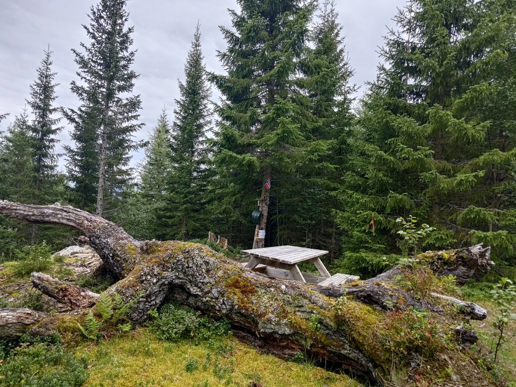
I made it to the post, where there is a picnic table to sit at. The name of the post, “Skoleposten” translates as the “school post” as this walk was specially marked so that the pupils at the elementary school at the bottom of the hill (seen behind the sign “Mosvik”) could have a walk and get points for their walk. This point is actually as high as the trail goes, at about 230 meters above sea level. If one continued on the trail it would go down again from this point.
It was good to be able to sit for a few minutes while I checked into the post on my app, and wrote my name in the book in the green box on the tree. Shall I continue on and find a trail that goes downhill? Shall I go back the way I came? The app on my phone has a good map which shows trails in the woods. There are at least three alternatives. I decide to go back to a trail that I noticed and see if I can get to the nearest farm and from there onto a road which is safer to walk along.
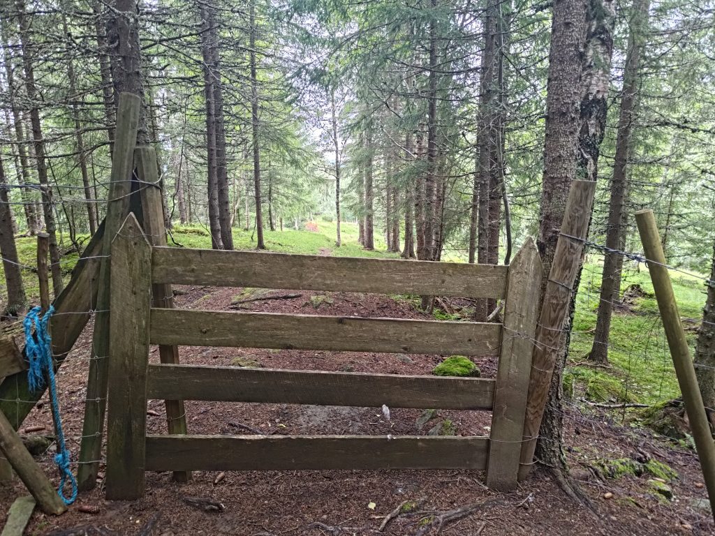
As expected, the trail came out to a farm field. I had to go through two gates, plus an electric fence, before I got out to a car road. In one field there were some calves. They eyed me but didn’t bother me. I sighed with relief when I got out onto a car road. It had certainly been shorter and easier than the trail that I had taken up the hill. I still had a long walk to get back to my car, but now the walking was on a gravel road.
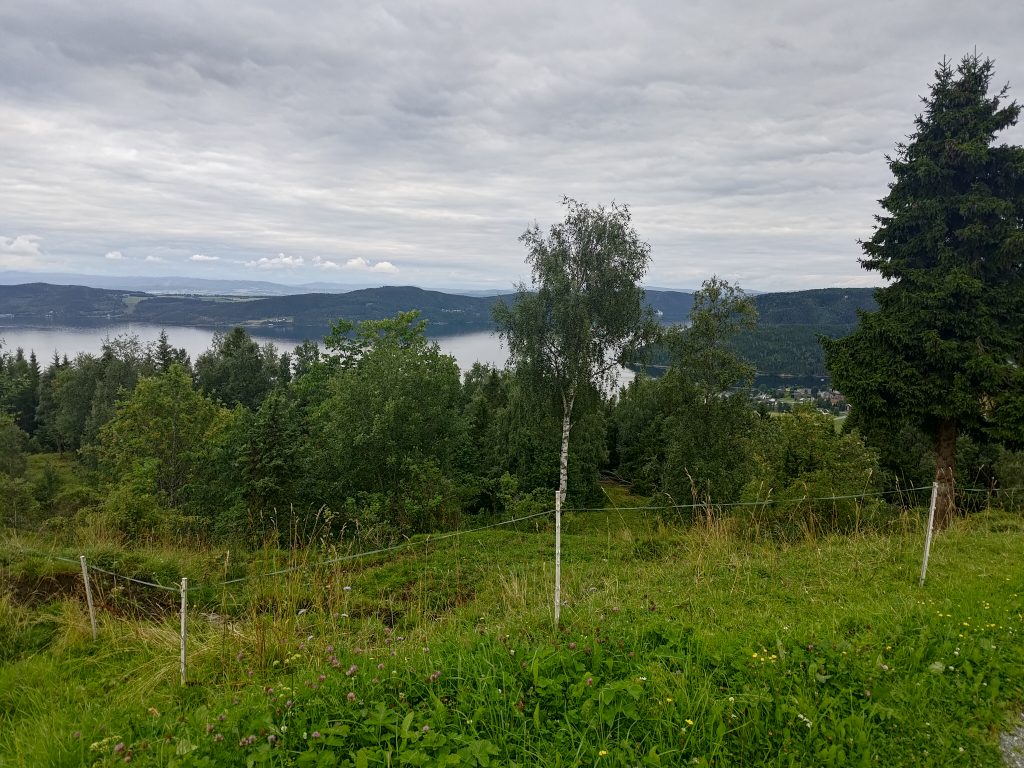
Looking out over the fjord, I felt happier being where the walking was much easier. In the distance is Ytterøy again. The small clump of houses in the middle on the right of the picture is the village of Mosvik. At this point I am about 200 meters above sea level, which gives a good view.
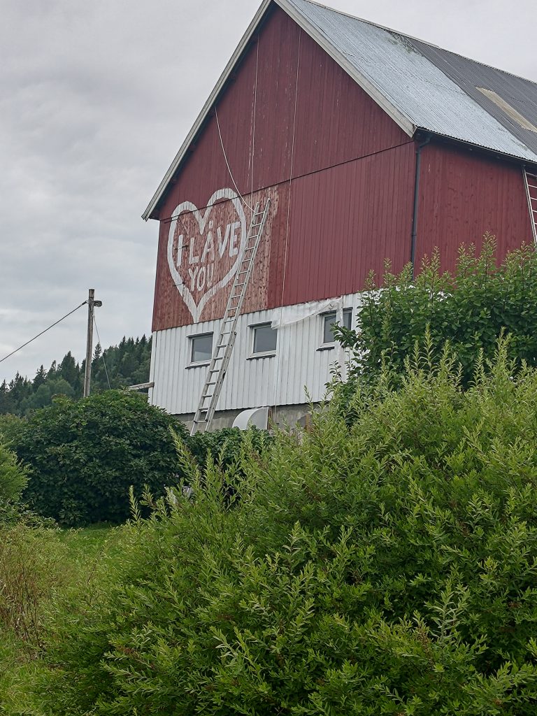
In Norwegian, a barn is called “låve” and this one was being repainted. There were several long ladders and I’m glad it wasn’t my job to do the painting. I noticed that there were ropes attached to the roof as well, I presume as a safety measure for whoever was on the ladder. But the heart with its mixture of English and Norwegian caught my attention. “I LOVE YOU” had become “I LÅVE YOU”. Just one letter was changed!
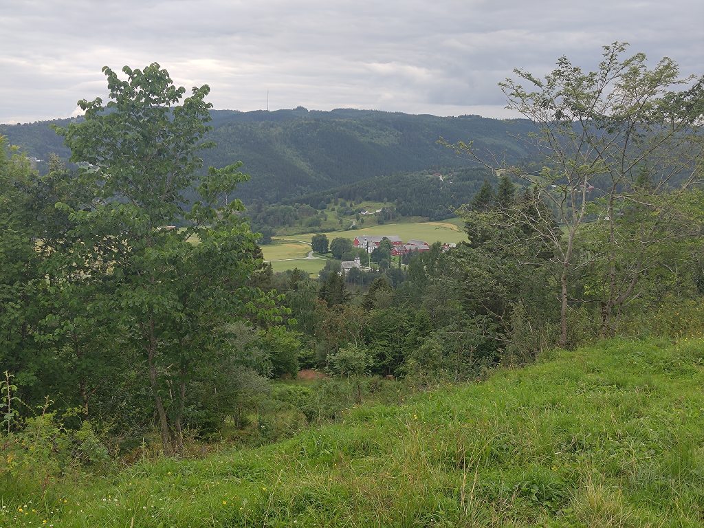
Mosvik, in the past, was dominated by one major land owner, who would have had a social status above most others in the community. You can just see their house and farm buildings in the center of this picture. All the green fields around it would belong to that farm. The church is located within a few meters of this large holding which would originally have included much of the forested areas for miles around. The farm is now used for raising horses, but cutting down trees would still be a major source of income.
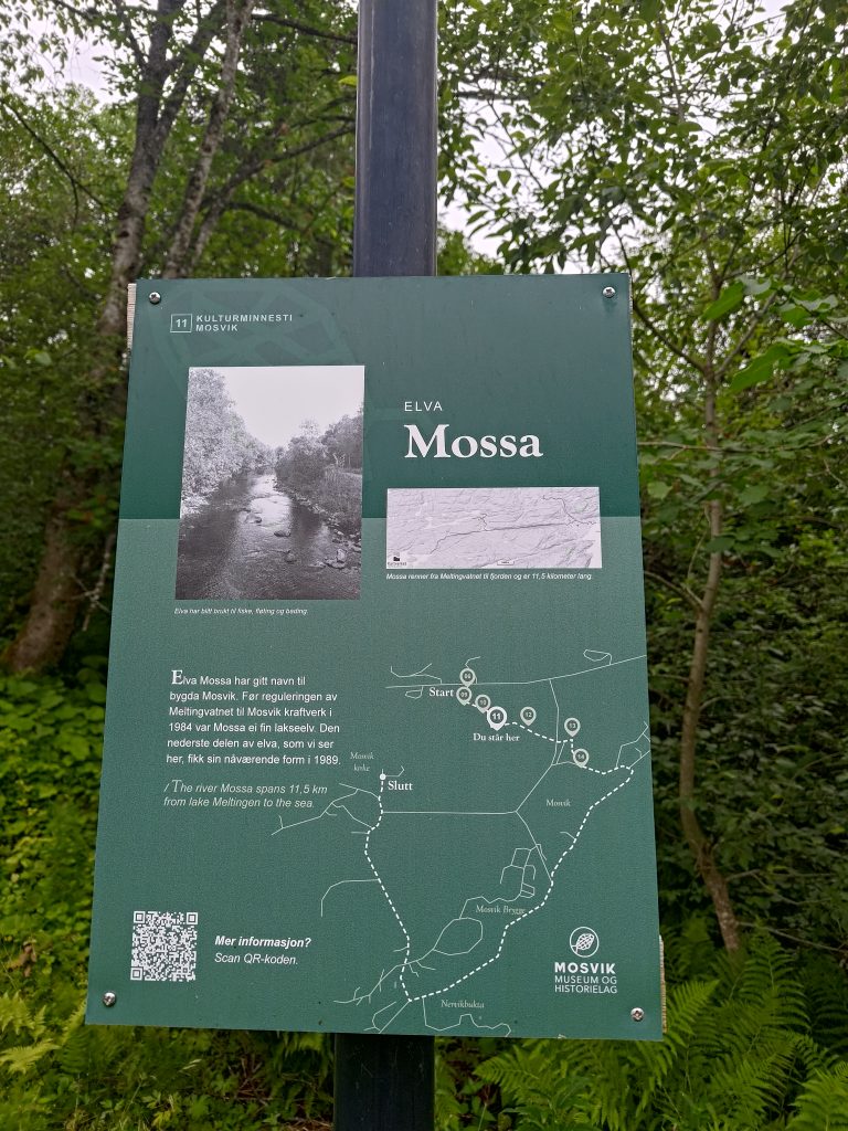
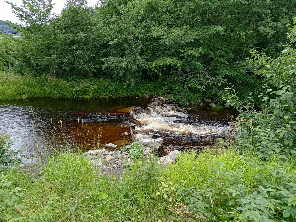
I’m back down the hill and take a slight detour to get back to my car, mostly to stay off the main road where there was quite a bit of traffic. It was now about 5:30 pm, so quite a few people on the go somewhere. I follow a trail along the river that has given its name to the village of Mosvik. The river, Mossa, drains a large lake, Meltingen, which is about 11.5 km up into the hills and is a water reserve for a power plant. This lower section was fixed up in 1989 as part of the maintenance of the power plant.
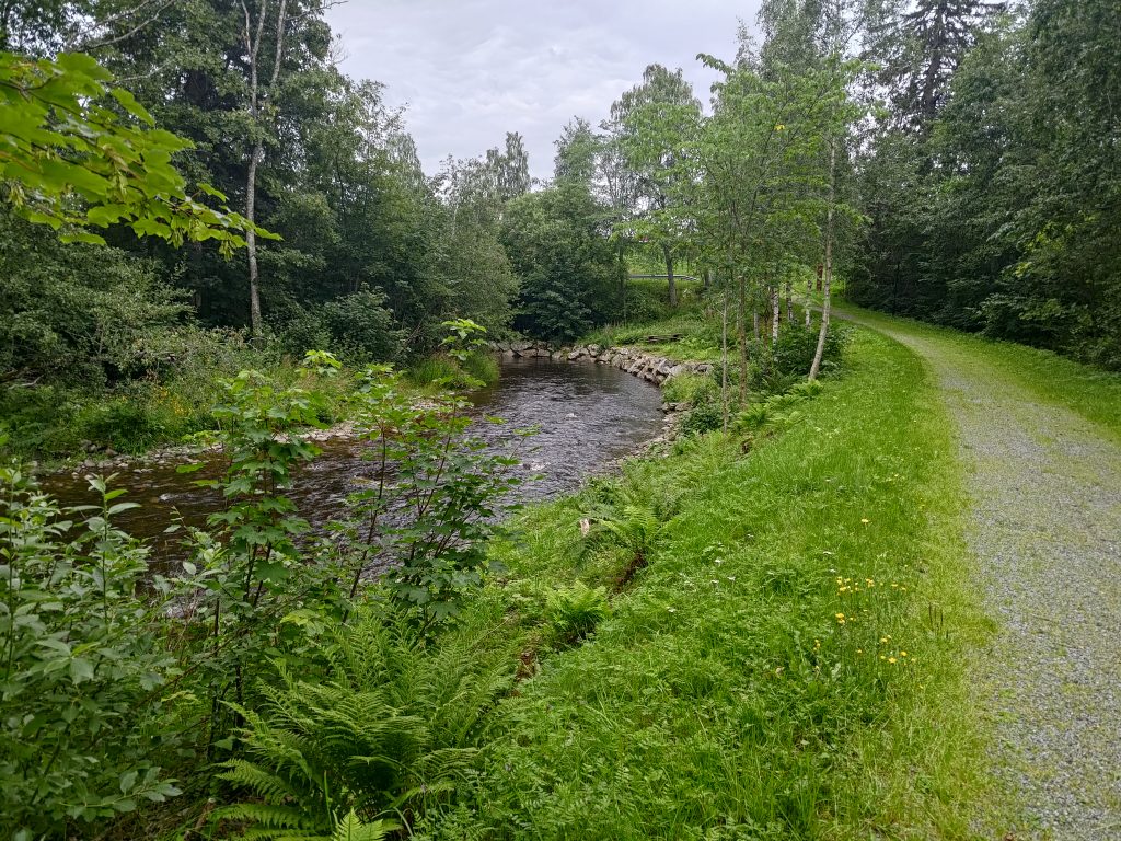
If you look carefully, you will see that the right-hand side of the river has been carefully edged with stone so that the bank is reinforced and less likely to be damaged. In the winter, this portion of the river can freeze. I am following a very pleasant path beside the river which will take me back to my car.
I used two hours for my walk, which was more than I had actually planned. It was a cloudy afternoon and 16 degrees, so that part was pleasant. I was exhausted once I got home and I made the decision that I didn’t need to do that walk again. There is no view at the top. The views came once I was out at the farm and walking along a car road. I need to remember that when planning walks in the future. There are other nicer walks I can do in Mosvik.