
It was a sunny Saturday and we had chosen to go for our weekly long walk in the hills up from Røra, in Inderøy. There are several Inderøy Walk posts here and we weren’t sure how many we would get today. Four were possible, but two was more likely. It was already about 15 degrees when we started walking and the day was promising to get warmer. I don’t like walking too much once the temperature is much above 15 degrees, as the heat saps me of energy. We’ve had a lot of rain lately and more forecast for tomorrow, so we picked the day with sunshine for our walk.
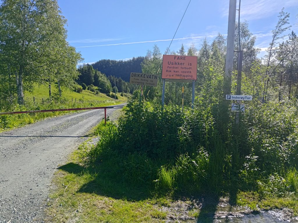
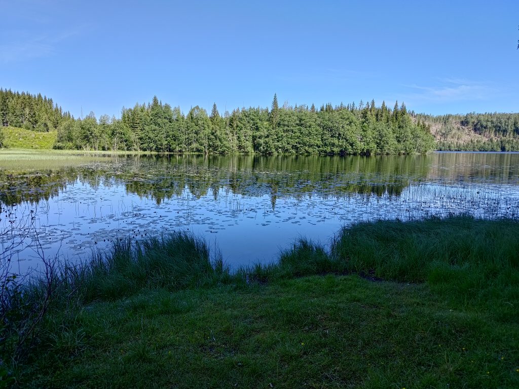
We parked at Røflo Lake, which is Inderøy’s main drinking water source, so there are all sorts of signs to let one know that. No fishing or bathing is allowed, and you are not allowed to camp near the lake. In the winter there can be a problem with unsafe ice where water is taken for the water supply system. Inderøy has a major factory for producing jams and juices, so the water that is supplied has to meet critical standards. In recent years, there has been a problem supplying sufficient processed drinking water to the residents. This is not because there isn’t water, as I’ve never seen the lakes here low on water. The problem is the capacity to purify the water. Inderøy is now spending a lot of money on connecting itself to the neighboring municipalities of Steinkjer and Verdal, who don’t seem to have the same problem. I often wonder if that is a good use of investment funds, rather than investing in increased capacity within the community.
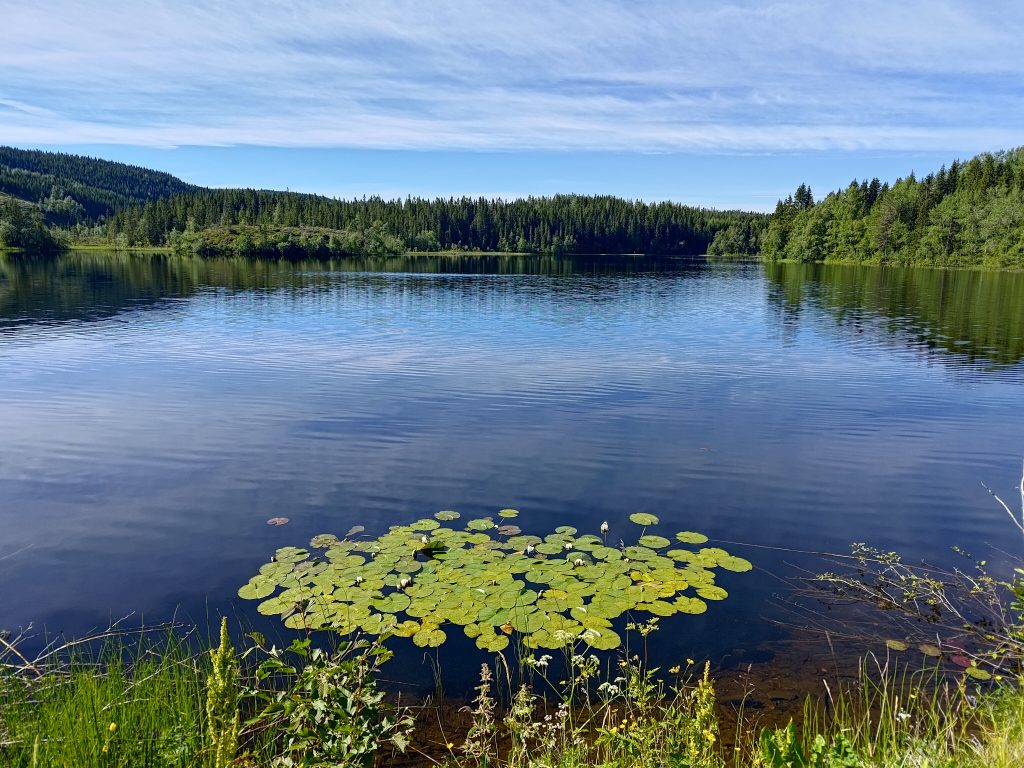
On Røflo Lake there are water lilies, which were almost ready to bloom. The flowers will open out in a couple of days, perhaps even later in the day. We started our walk about 10 am, so there would be lots of time as the day warmed up for the lilies to open up later. This lake is at about 188 meters above sea level.
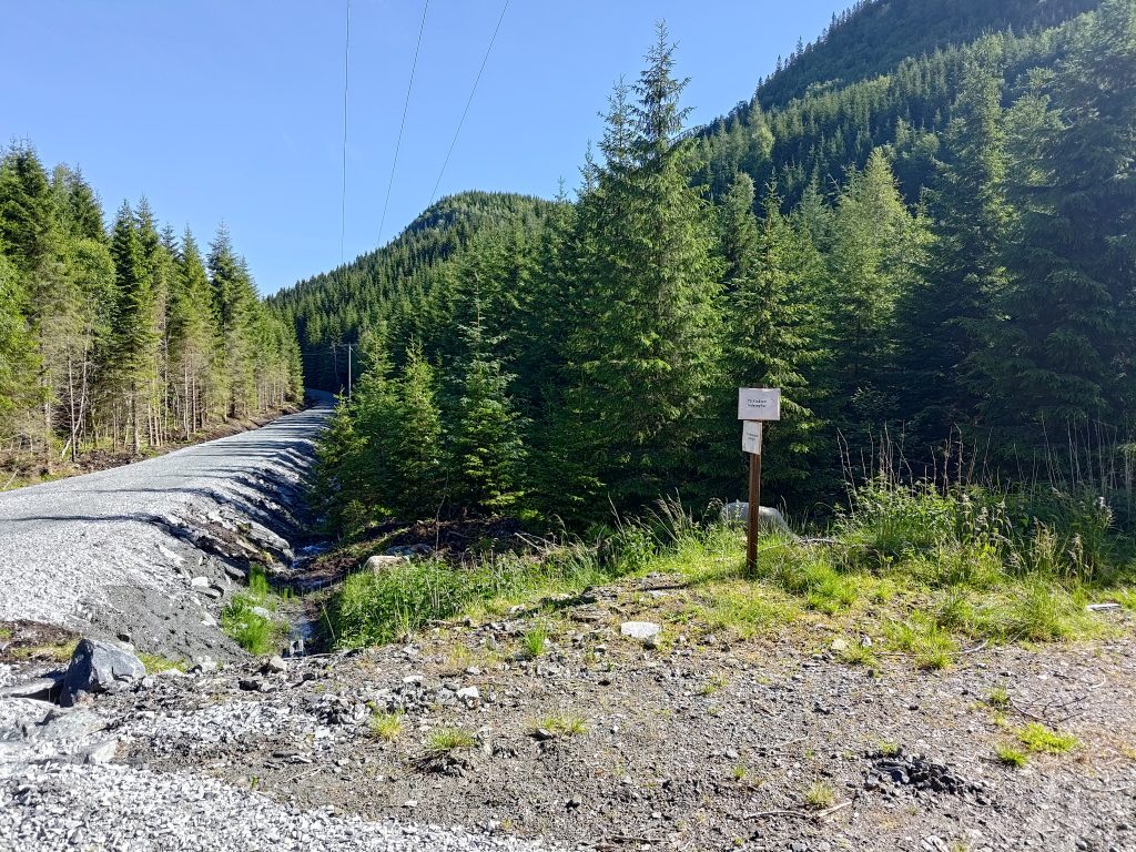
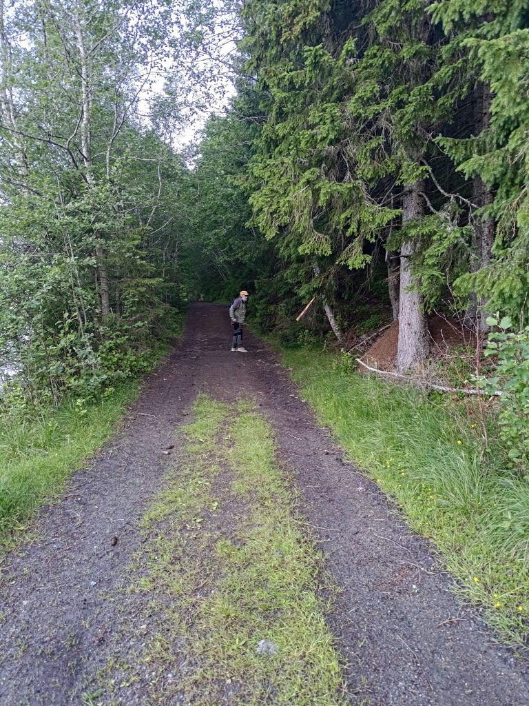
We wanted to walk to Vådal Lake first, which is the road off to the left. This has always been a gravel road, but they have much improved the road in the last year. This is the first time this year that we have been at this location. The road to Vådal Lake is restricted access for vehicles, but anyone can walk along it. They have improved the ditches on either side of the road and put down a lot of new rock to both raise it above the old road bed and to give a better surface.
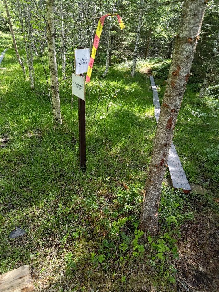
Because we were going to a new post this year, we also saw some new signs, indicating which choices one has. The old signs were still there, but now there were some additional ones that are probably only temporary. From this point, there are actually five posts that one can access. They all require a steep climb uphill, except for the first one on Vådal Lake, which is actually at only 158 meters above sea level, so at a lower elevation than Røflo Lake.
We used about 20 minutes to get to this first post as I stopped to take pictures along the way. I don’t put all of the pictures I take in a blog, but I pick out the best and most interesting ones. I find taking pictures in the sunshine and with sunglasses on a bit risky and I don’t always see whether they are good or not until I get them on my computer at home.
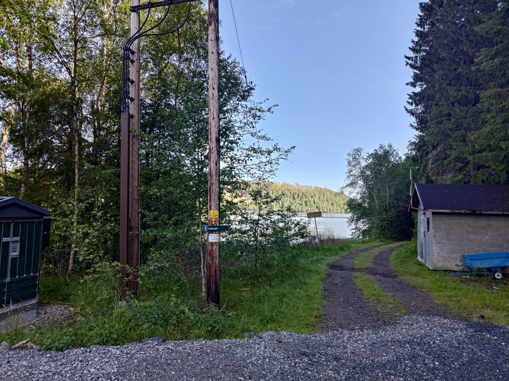
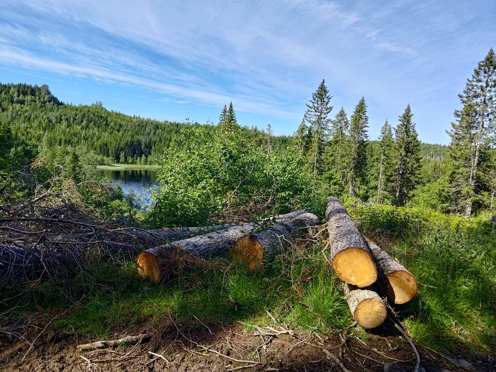
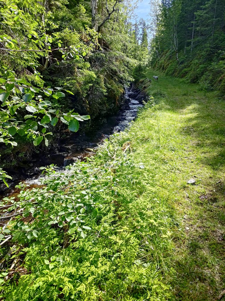
Vådal Lake is also a drinking water supply lake, though most of the lake is in Steinkjer municipality and it drains at the far end, so the water actually flows north. The lake’s water eventually drains into the Figga River which empties into the fjord in Steinkjer. The stream from Røflo Lake flows west and empties into the fjord at Røra, though it is a very small stream as so much of the water is used for the water supply system.
After checking-in on our apps on our phones, we continued along the edge of Vådal Lake until the road/trail headed up the hill.
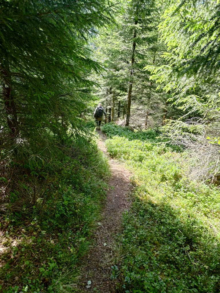
We have been along this route many times before, though this was the first time this year. About two days ago we had a lot of wind, so there were dead branches along this section of the road. My walking companion likes to use his walking stick to get these dead branches off the road. This road was probably originally used as a logging road and there are signs that it is still used for motorized vehicles, though where streams cross the road there are large grooves in the road. It is not suitable for car traffic at all.
All this land would have private owners who are then asked to allow walkers access to the roads and trails. When a trail is marked for an Inderøy walk, there will be a lot of use of the trail. These trails may have to be maintained, either by a sports club or a property owner. Especially where people park their cars, it would have to be agreed with the land owners. Norway has a law that protects free access to uninhabited areas, but one still has to respect the rights of the landowner, whether it is a person, a business or the local municipality.
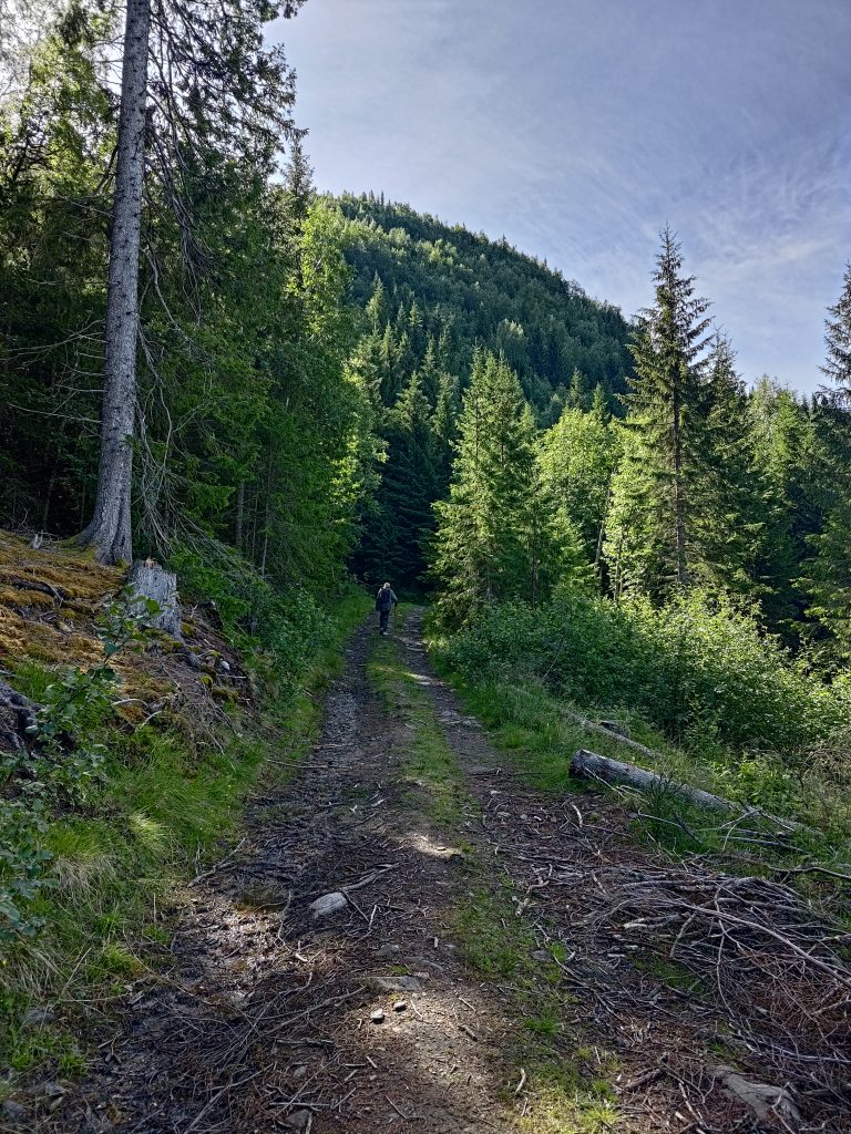
Our walk now took us steadily uphill. Most sections were not that steep. There were sheep on the hillsides as well. In fact we were following one small lamb that seemed to have misplaced its mother. I hope it found its way back to her after we turned off the main trail.
Klingerhaugen, the hill we are attempting to climb, has a summit of about 300 meters above sea level, which means we have about 150 meters of elevation to climb. The route we took was relatively gentle and much of it was tractor road quality, meaning that we could walk side by side and chat. Though when we are climbing a hill, the chatting lessens as we go.
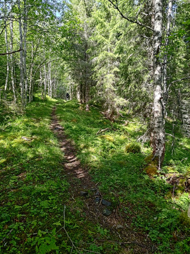
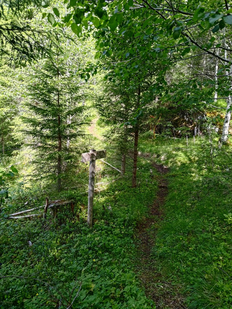
Like many of the hills in our area, Klingerhaugen has a steep, cliff-face, though it is covered with trees. To get to the top, one has to walk a long way round, and come at it from the back side. As this was the first time that we had taken this new trail, we were having to look out for the red and yellow markers hanging from the trees, and almost missed the viewpoint.
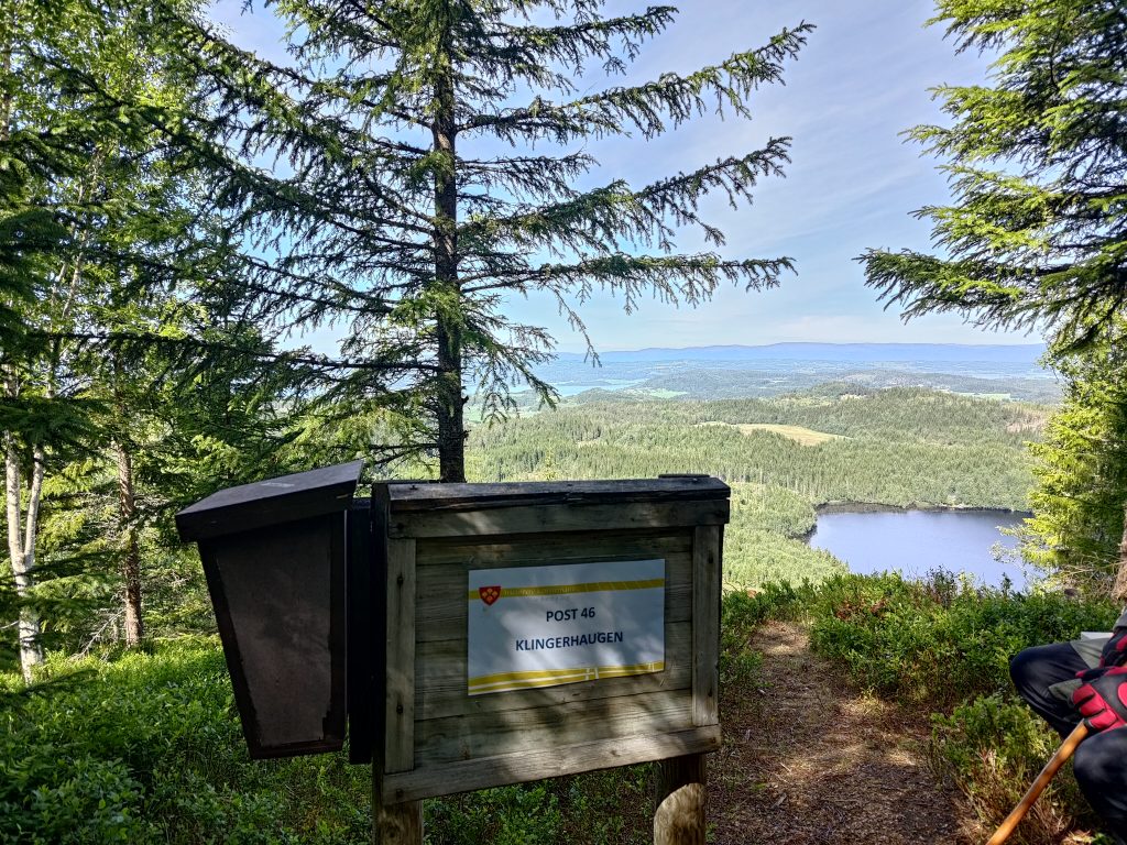
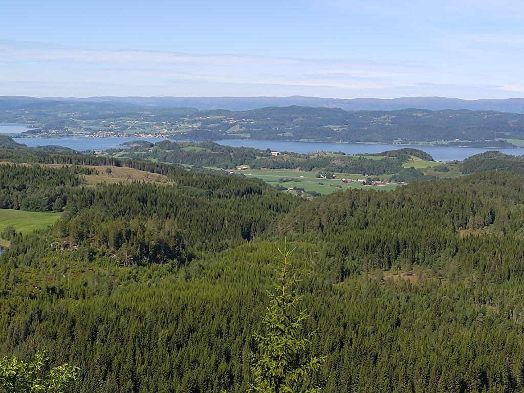
In the above picture, one can see the village of Straumen, our local shopping area, towards the left of the picture. The hills in the far distance are in the municipality of Steinkjer and there would be a fjord arm between Inderøy and those hills. We live out of the picture off to the left. For those who know the area a bit, the main north-south road in Trøndelag, the E6, is also visible in this picture as it runs through some farm fields. Thankfully we were too far away to hear the noise of the traffic. One of the reasons we enjoy walking in these hills is the quiet and the lack of vehicle noise.
We came along the trail on the left and had originally thought of doing a third post so we actually started heading off to it using the trail on the right. However, though it started out as an okay trail we soon got into difficulties because of the steepness of the trail. As we age, we find narrow, steep trails in the woods more difficult to handle. Steep trails are best taken going uphill. We were going downhill on this one. The chances of sliding are much greater when going downhill.
Even I felt that the trail was too dangerous for us, so we made the decision to turn around and go back the way we came. We sat down just beside the trail, had a drink of water and shared some of the chocolate bar I had taken with us. We both needed to de-stress before continuing. It was actually on the way back that we found the viewpoint from the cliff top.
We used about 2 hours and 20 minutes on this walk, so lots of fresh air and exercise. By the time we were back at the car, the temperature had risen to 20 degrees. However, we both found it a bit more tiring and stressful than we like, so this will not be a walk that we repeat, at least not this year. We will continue to go for long walks during the summer months and have agreed that a minimum of one a week is important for our health. It would be ideal if we set aside enough time for two such walks a week. I hope you too get out for walks in your neighborhood.
On these walks, I like to address the mother sheep by name. The first one I saw was Georgette (Heyer), then Agatha (Christie), followed by Dorothy (Sayers). If I see more sheep, I only have two more names in reserve: Caroline (Graham) and Lynda (La Plante). The remaining sheep will remain nameless.
I enjoy most of the trails/ paths in the hills beyond Røra, but I don’t always enjoy walking to the posts. It is not so much the steepness, but walking along a cliff edge, protected only by a juniper bush. That’s why I like to wear work gloves, so that I can grab onto anything if I start to fall. The other problem is walking through or near swamps.
That said, it is better than sitting at home on a sofa!
Beautiful pictures!