Duklettlia and Furufjellet

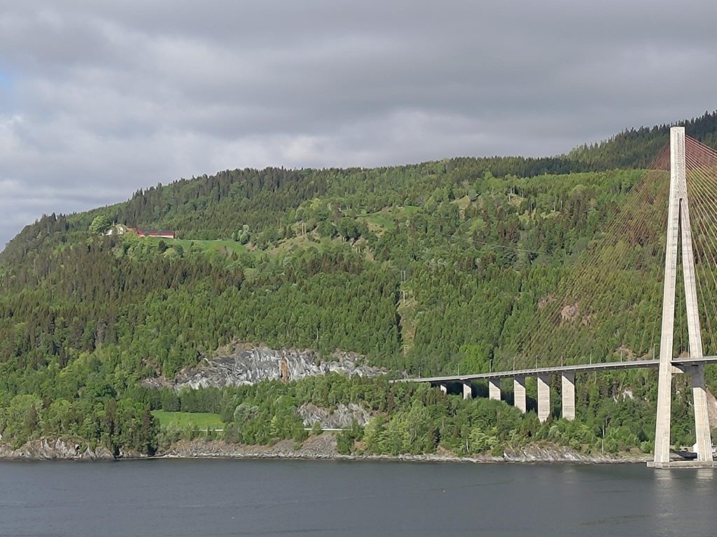
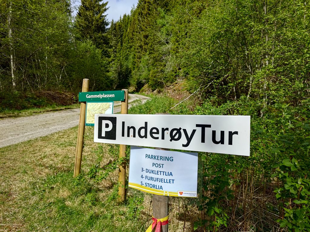
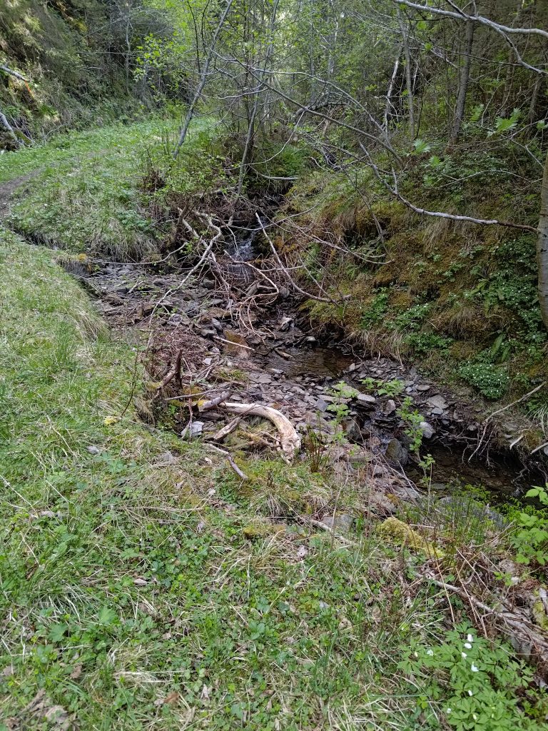
Today’s Inderøy walk started in an old parking place (Gammelplassen) which we have used quite often, but we went to two places we had not been to before. We drove about 10 minutes from home, crossing the bridge in the picture below. We walked first to Furufjellet (The Pine Mountain) and then Duklettlia (The Duklett Hill).

The weather was mostly sunny, but still cool at 9:30 am at 8 degrees centigrade when we left home. That’s a perfect walking temperature for me, especially when I am going to be heading up a hill.

Duklett is the farm in a clearing near the left of the picture. This walk is about climbing the hill that is above the farm. This picture was taken from our own lot and you see the Mosvik side of Skarnsund Bridge in the picture.
The parking place is for several posts on the Inderøy Walks. We are going to post 3 and 4 today. We went to post 5, Storlia on the 1st of May and you may have read the blog I wrote about that walk.
The parking place at Gammelplassen (the old place). Our car is just out of sight on the left. Just after I took this picture, another car drove up. We let the two younger people head on up the trail ahead of us. When we came back there were two different cars here. Note that this trail is labeled with a red walking man, which means it is reasonably difficult.

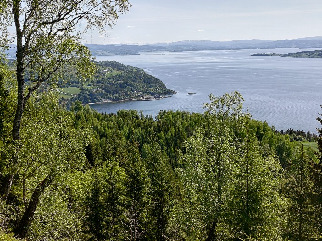
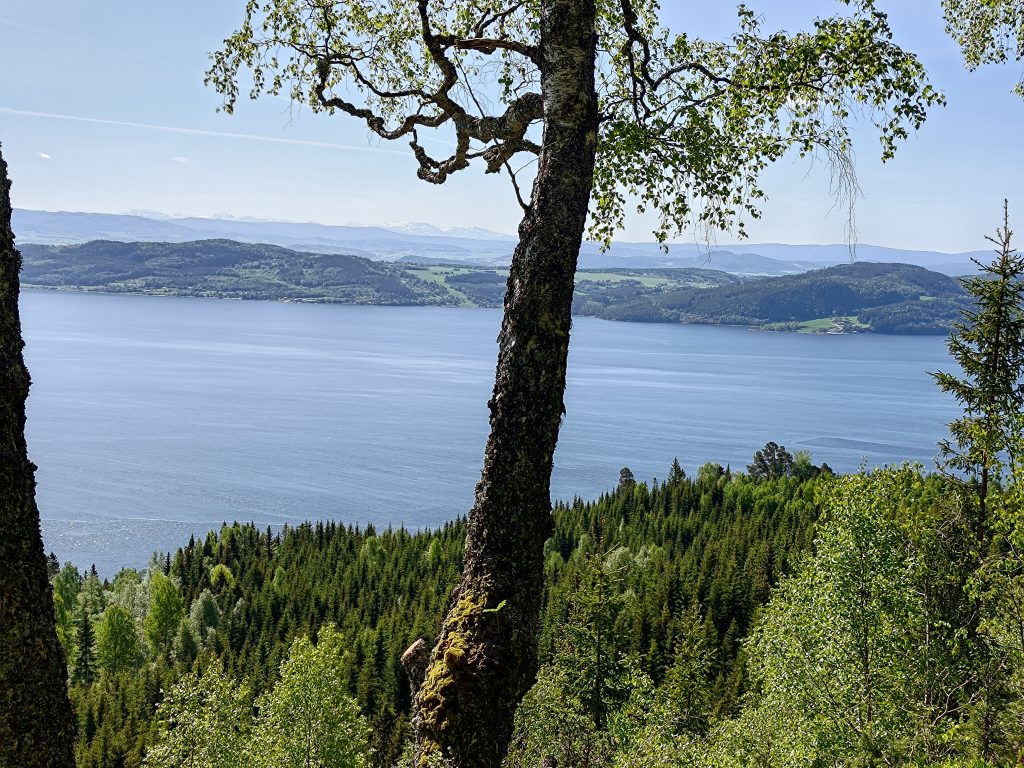
Furufjellet – The Pine Mountain

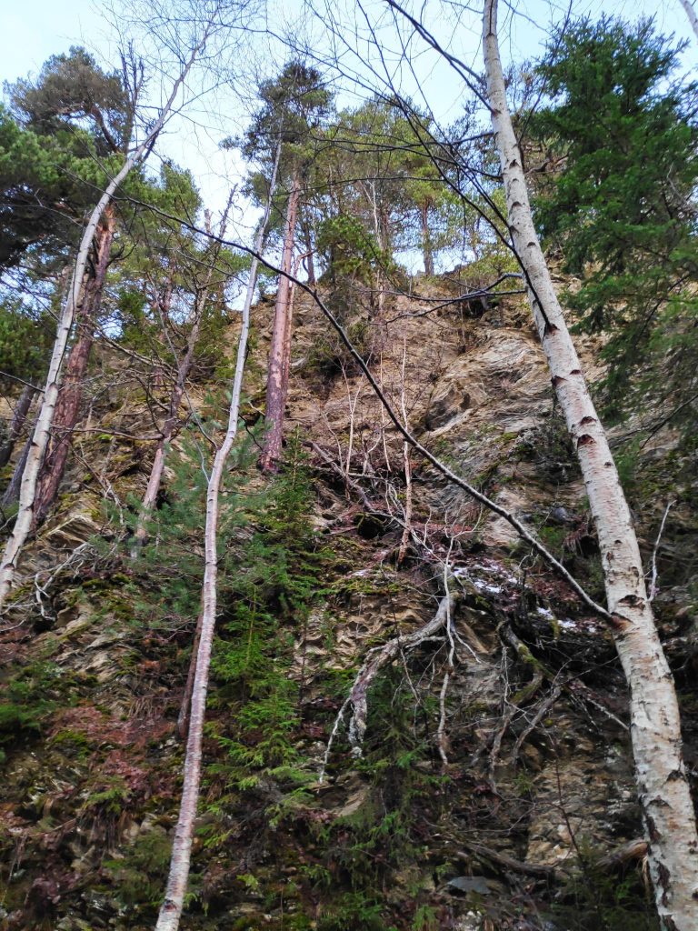
We have walked to the Pine Mountain many times before as it is a pleasant walk from the bridge. The picture below shows the cliff from below from the path that we have often taken. I had often wondered what it was like at the top and today we took the trail that took us up there. But this picture is to show you why you don’t get too close to the edge.

I have walked to the Pine Mountain many times and quite enjoy the walk from the bridge to this spot. It is a steep cliff and the last time I walked here I was wondering what it was like up at the top. (Picture taken 2021.12.20)
As often happens, the trail follows a stream uphill. We followed this one for a bit, before crossing it and heading in a different direction.
This is a well-used trail, both by humans and animals. Note the red and yellow streamer on the left indicating that we are on a marked Inderøy Walk. On both sides of the trail the slope is very steep.
At the crossroads we had to choose which direction to go in first. Duklettlia is to the left and Furufjellet is to the right. We chose to go to Furufjellet first, which is off to the right. We walked just a few meters and then made a turn to the left. We came back to this point to go to Duklettlia.
This is a relatively new trail and not so easy to follow. It is good to see the red and yellow streamers to make sure we keep on the correct trail. There are deer and moose that use these woods all year long and often sheep in the summer months, so there are many trails.
We were almost at the top and I saw this very large anthill.
My walking companion, Brock, was slightly ahead of me at this point. Though there is a small clearing in front of the tree that marks the post, it is also the top of a cliff.
We made it to Post 4, Furufjellet / Pine Mountain. Do not go beyond this tree, as there is a cliff straight down, as you saw in the picture taken from below.

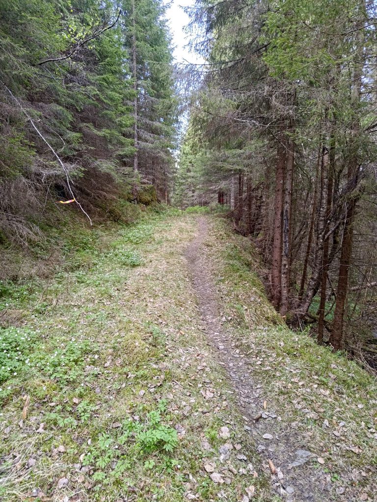
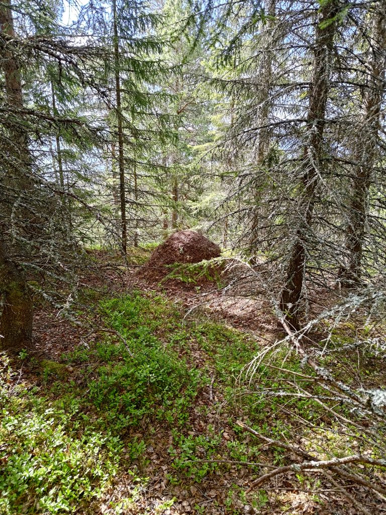
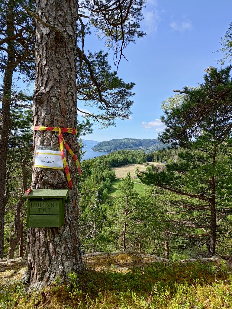
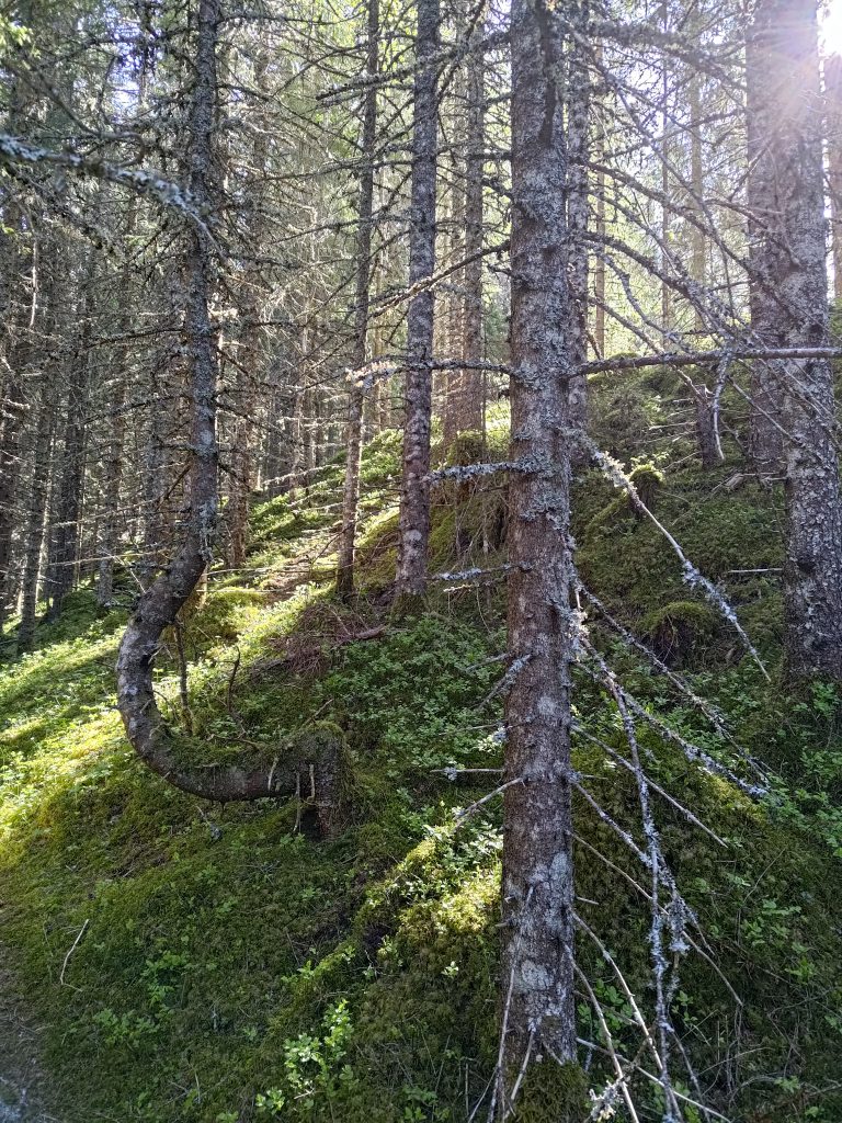
Most of the trees in the woods we were walking through were spruce trees. So I was very interested in finding out if there were actually pine trees at the top of this hill. Though there were definitely a lot of spruce trees, even at the top, there were also pine trees, particularly along the edge of the cliff. The box in the picture is attached to an old pine tree. All of our walk today was in relatively old forest.

In the green box is a book in which to write our names. In addition we “check in” on our phones on an app that keeps track of our points and when we do the walks. I checked in to post 4 at 9:56, about 20 minutes after leaving the car. The app won’t let you check in again within 22 hours of a check in. This makes sense, but it means you can’t take a walk in the evening and get points and do it again in the morning and get more points. Of course, walking in the woods can be done at any time even without getting points for doing it. The points are just an added benefit and incentive to get out of the house.

Pine trees do not need nearly as good soil as spruce trees and tolerate having much less moisture in the soil. This is the view looking southwest. You can just see the road that we have driven up.

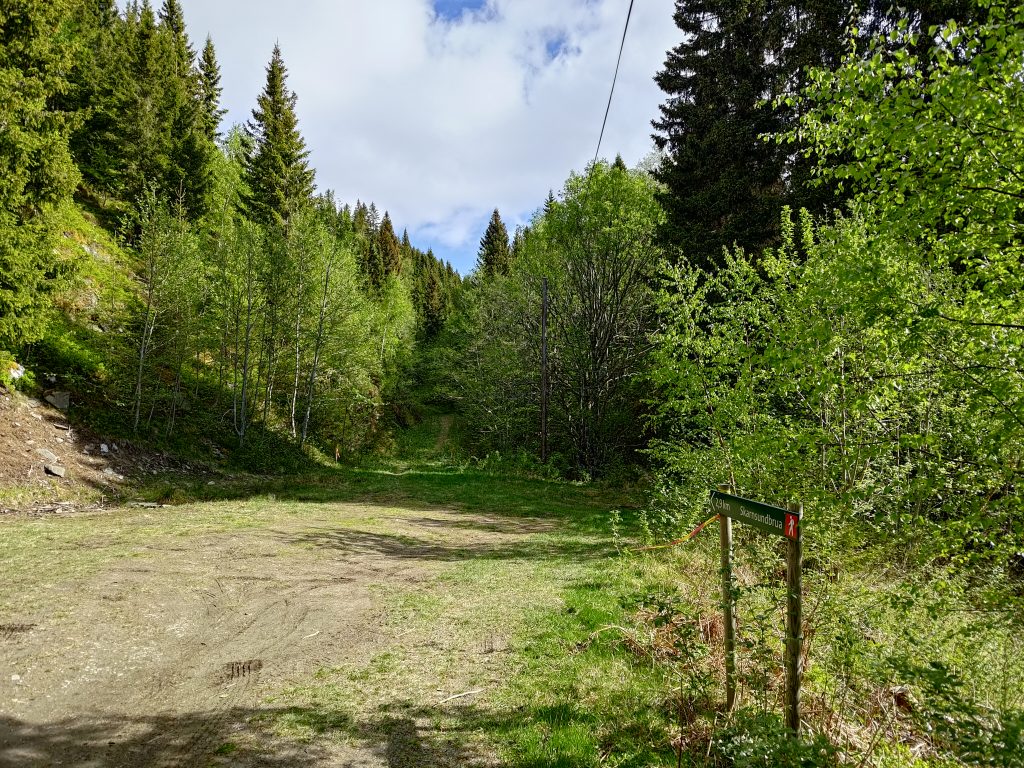
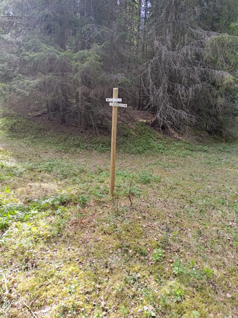
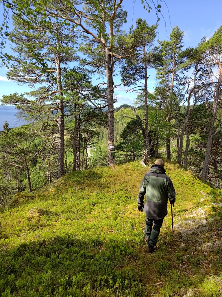
Duklettlia – Duklett Hill

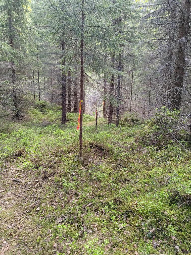
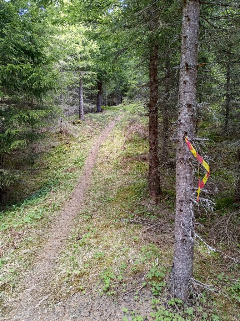
We went back down to the crossroads and started up the other trail. This one was even steeper. Everything is quite dry on the ground. Cones on the trail can be slippery. The trail is quite visible, but as it was the first time we had been up this way, it was necessary to check for the markings regularly to make sure we chose the correct path.

This path was actually quite steep. It doesn’t look as bad in the picture as it was climbing the trail.
Taking a short break to get my breathing back to normal, I noticed this piece of quartz showing beneath the roots of a tree. It is quite common here to see bits of this type of rock. I also use taking pictures as a good excuse to stop walking for a minute or two.
Some trees get a bit bent out of shape trying to find a way up to the sunlight. Most of the trees in this part of the woods are spruce.
We’ve made it to post 3, Duklettlia. I checked in at 10:37, so about 40 minutes after checking in at Furufjellet. We are at 242 meters above sea level, having climbed about 130 meters in height from the car.

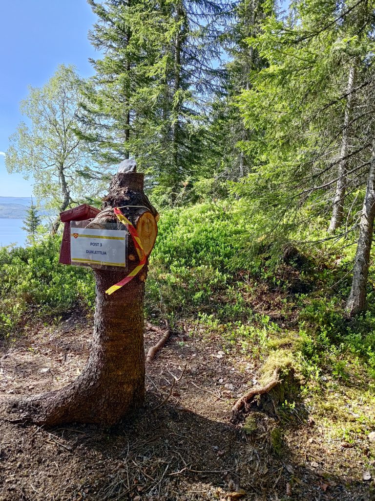
Was the walk worth all the effort? Definitely. Not only is it good exercise, but I enjoy being out in the woods. We heard some birds, but it was actually quite quiet in the woods, except for talking to each other. At post 3, there was a picnic table to sit at and we made use of it. Resting our hearts, lungs and legs. Note the red box on the tree stump, where there was a book to write our names in. Then, of course, there was the view.

Vangshylla – home! You can’t see our house, as it is hidden by trees, but you can see the small boat harbor at the end of the road. The app on my phone tells me that Duklettlia is 2 km away from home, but that is in a straight line.
The farm, Duklett, from above. In the background is the island of Ytterøy and behind that Levanger.
Looking a bit to the right of the previous picture. Ytterøy with Levanger in the background.

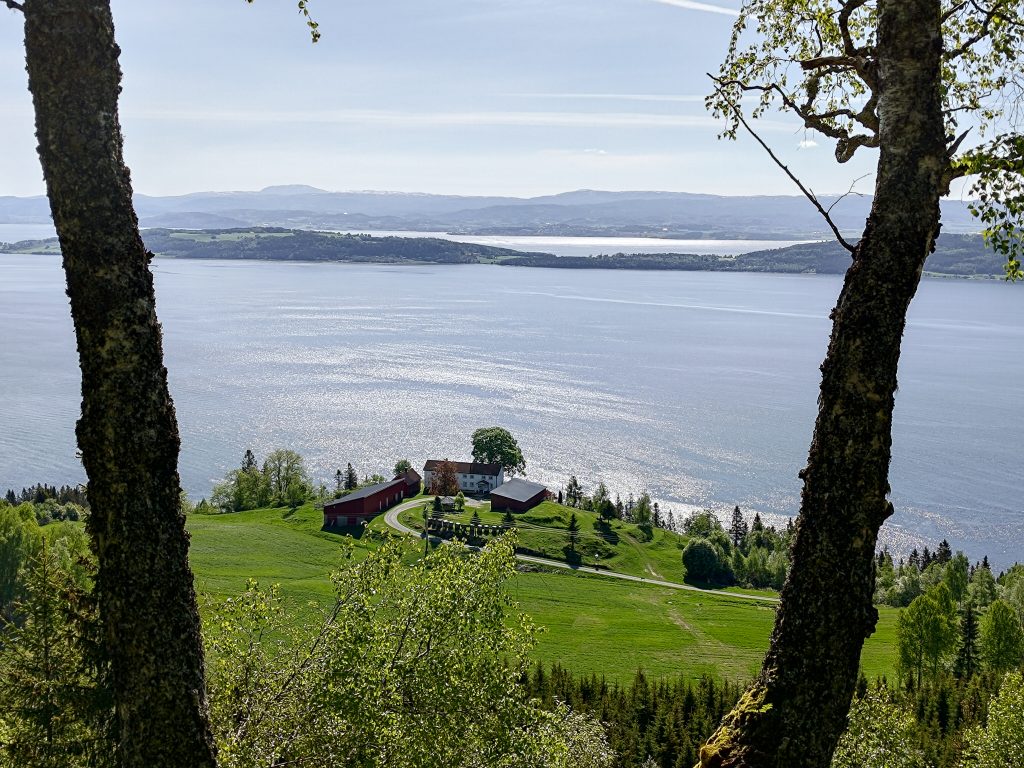
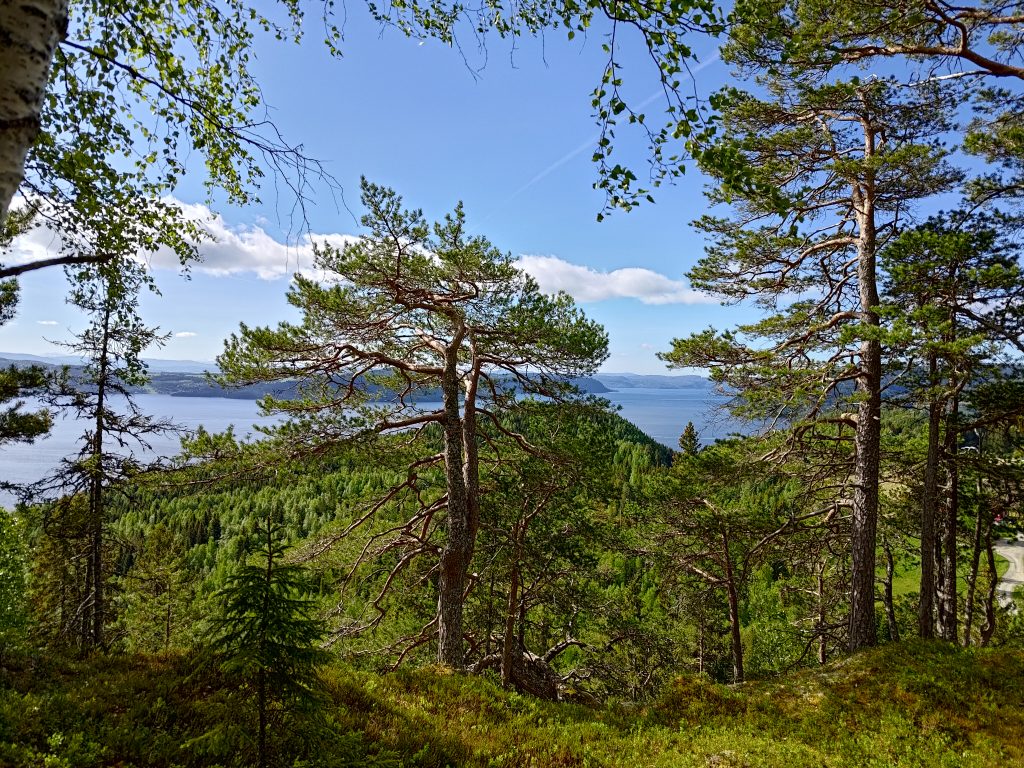
I love walks that take me to a place where there is a view, so this is definitely a walk I will do again. It was marked as a round trip, so next time we will do things a bit differently. Today we just went back the way we came, sliding down some of the steepest parts of the trail where cones and dry moss made safe walking almost impossible. We both use canes. Brock uses one and wears gloves so he can grab things to keep his balance. I use two canes which helps me keep my balance both going uphill and downhill on uneven terrain. We got back to the car at 11:18, having been walking about one hour and forty minutes. We were away from home almost exactly two hours, but that also includes the short drive each way.

We picked a good day for our walk. It is a holiday in Norway, but we didn’t see many others on the trails that we took. The sun was shining, it wasn’t too warm, and we were enjoying each other’s company along with the restfulness of being amongst the trees.

Leave a Reply

Your email address will not be published. Required fields are marked *