
For many years I have wanted to try out a trail that goes uphill from Hestdal Power Plant which is located about 12 km west of the center of the village of Leksvik, though it’s mailing address is Vanvikan, which is even farther west. We wanted a day away from the house, and the weather was promising to be suitable for a lengthy walk, which for us is two to three hours.
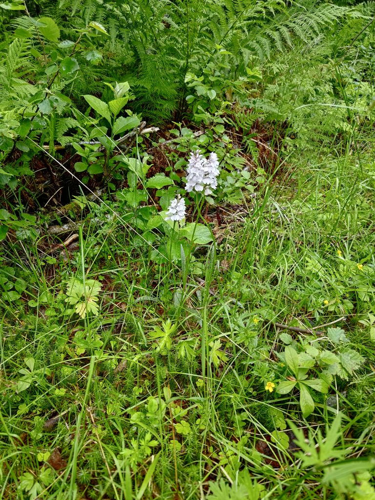
Liatjønna, Mosvik
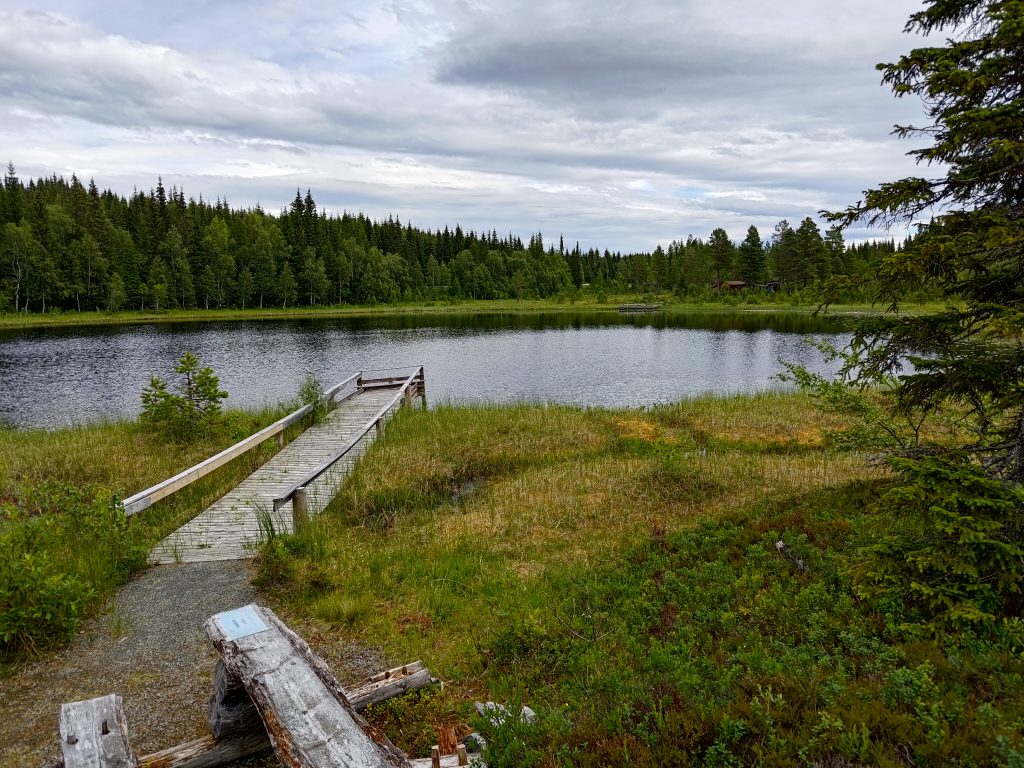
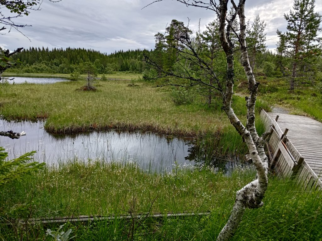
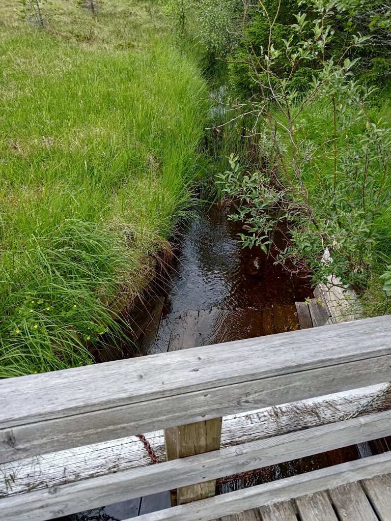
But before I take you on this walk, I’ll explain what we did before we got to the parking spot by this sign. My husband likes walking around lakes. There are many lakes in Inderøy, but there was one small lake on our way to Hestdalen. We often stop here as it is not far from the road, and there is a very nice walk around part of the lake. It doesn’t take very long, and is a very flat walk. One goes back the same way as one came as the path only goes about halfway round the lake.
After a short walk we continued driving westwards to the village of Leksvik, where Brock used to work at the high school, and kept on going for about 12 km, to get to Hestdal.
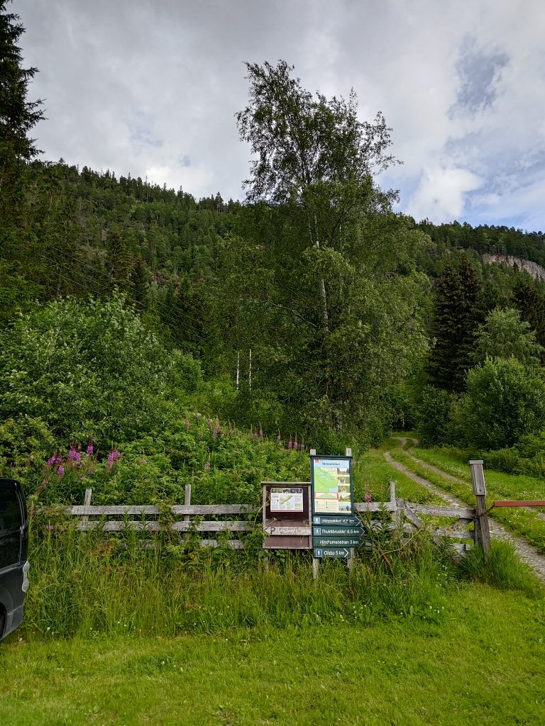
Hestdal, Indre Fosen
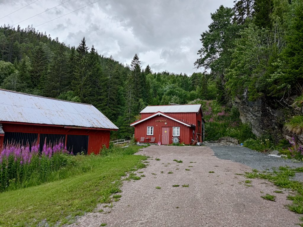
We parked near these red buildings. Hestal e-verk (Hestdal Power Plant) is privately owned and produces about 4 GWh a year. It uses water that falls about 120 meters. The original equipment was from 1940, but it was modernized in 2004.
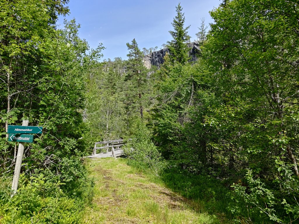
So we started the walk, and I wasn’t sure how far we would make it. The information online about the walk indicates that there is an elevation climb of over 400 meters if one wants to get to the top, to Himmelriket, the kingdom of the sky. The signs at the parking area indicate that the top is over 4 km, one way. An 8 km walk is too much for us now, so I was prepared to not make it to the top, but was interested to see what there was up the trail.
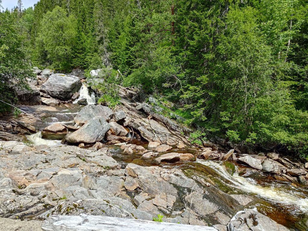
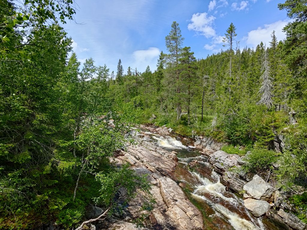
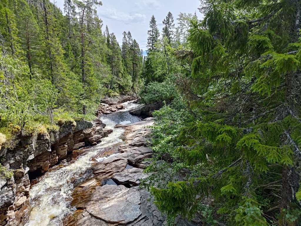
We were steadily climbing uphill almost the whole time, but once we were above the intake to the power plant, we could hear the river as it tumbled over the rocks. By July, most streams and rivers have finished carrying the spring melt water down to the sea, and they are draining lakes. A look at an official Norwegian map ( https://atlas.nve.no) that shows lakes used for hydro power production, shows that this stream drains five lakes up in the hills. These lakes would all have dams on them to regulate their outflow of water.
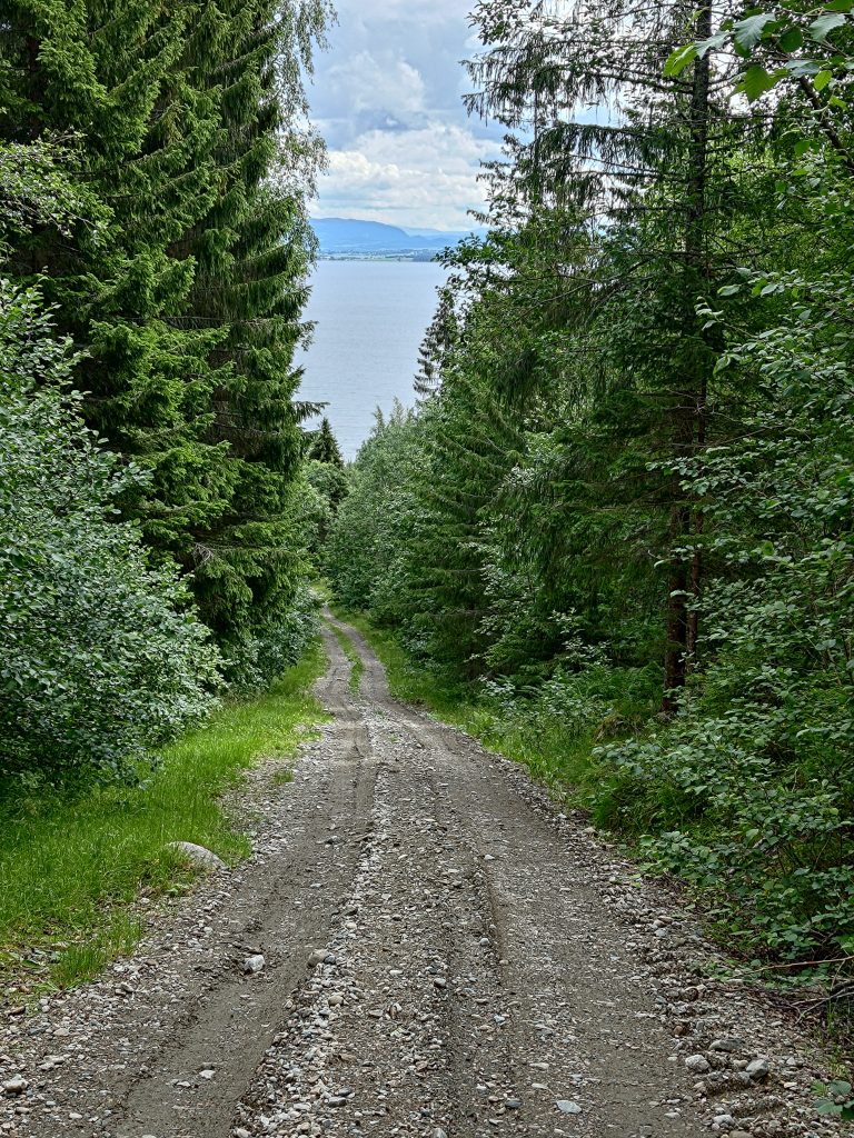
We continued walking along the road and not really able to gauge how far we had come. I’m no good at judging distance when walking, especially when I stop to take photos as much to have the photos as to take a break from the climbing. The road itself was easy to walk along, but some of the sections were quite steep. The ground was dry and the gravel was loose. When we turned around and walked downhill, we had to be careful that we didn’t slip on the loose gravel.
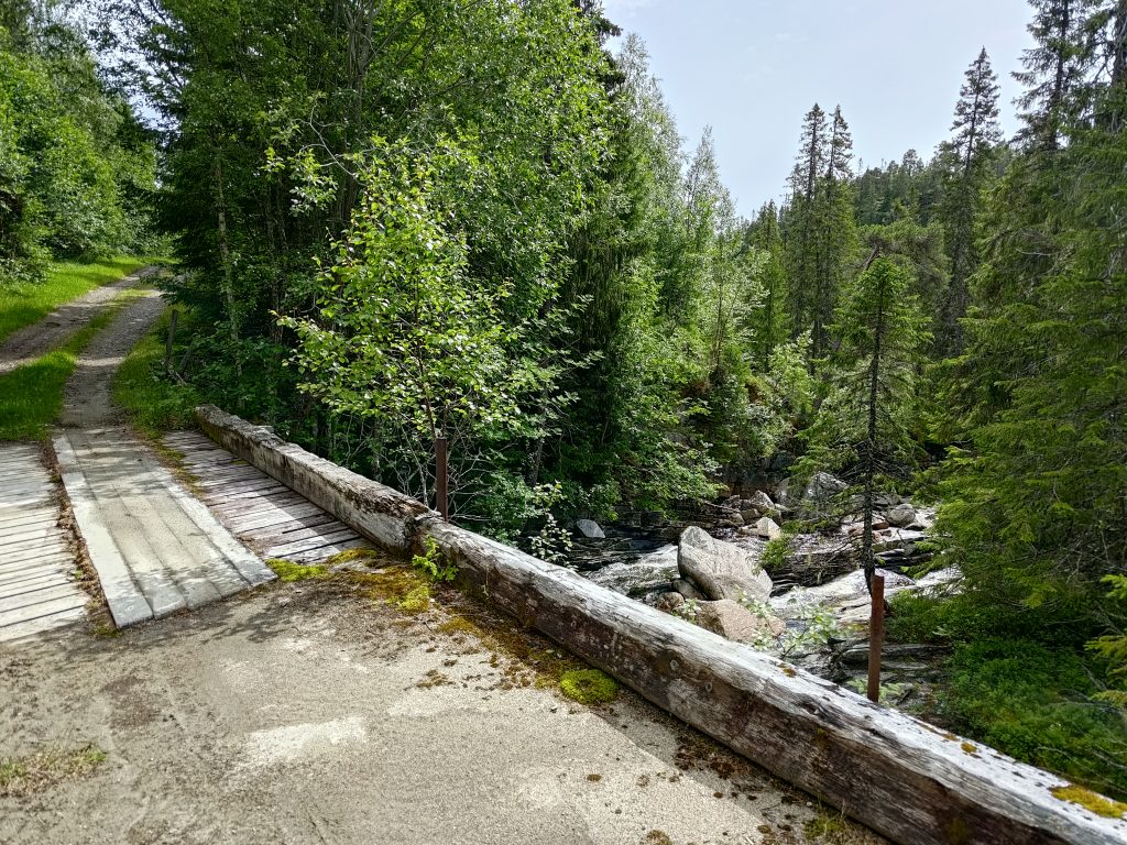
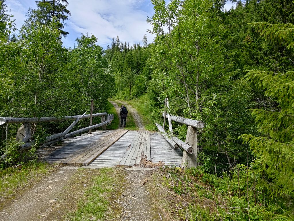
Eventually we came to where there was a divide in the paths. We could continue to follow the road which went to a stone quarry which was 6.5 km from the parking lot, or we could head off across a small bridge over the river and climb up to the sky. We decided to do the latter. So we crossed the bridge.
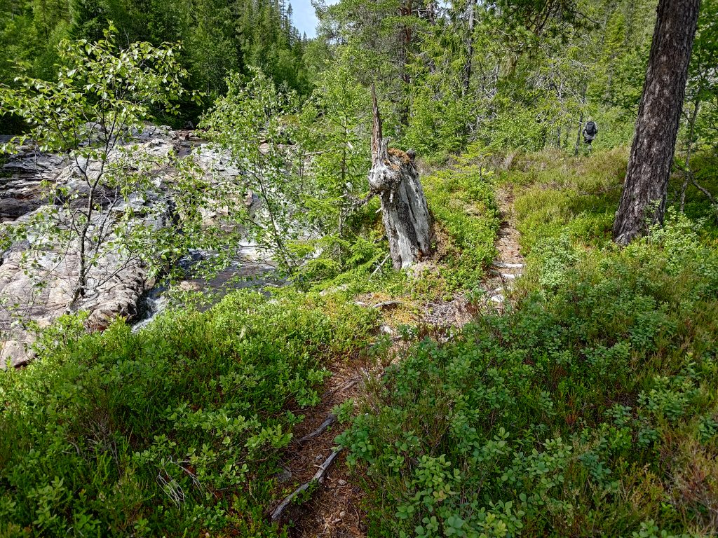
We had now been walking about 50 minutes and I figure that we had climbed about 200 meters in elevation. I knew we would never make it to the top. We discussed this narrow trail and made the decision to go back to the gravel road and walk along it a bit more. We were out to enjoy ourselves. We are in our mid-70s and have to accept what we actually can do at our age. I no longer want to walk on such narrow trails, that are uneven with roots, and reaching the sky is not a goal.
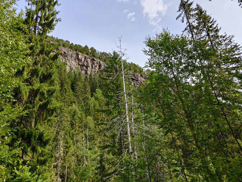
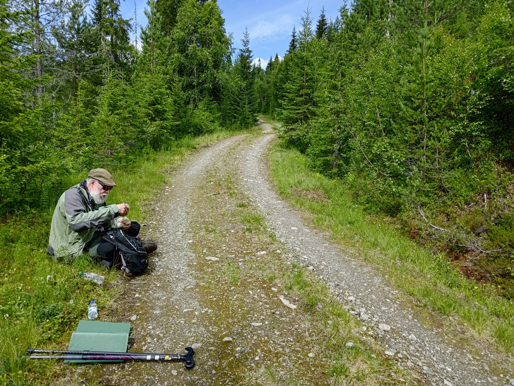
So we continued on, up the hill, following the gravel road and the river. We crossed the river again. I was enjoying the walk, but starting to get tired as it had been all uphill with a few flat stretches as you can see in the picture below. The day was sunny but not too warm, about 19 degrees.
After we had been walking for an hour and a half, including the short breaks we had taken to either take pictures or catch our breath, we decided it was time for a proper break. There was no sign of any appropriate place to stop, so we just sat down at the side of the road to eat our sandwiches and drink our water. My estimate, afterwards, is that we had walked about 3 km so far, and we still had to get back to the car. We didn’t sit for very long, as the flies and ants liked us a little bit too much. But it was good with a bit of food and water before starting the downhill trek.
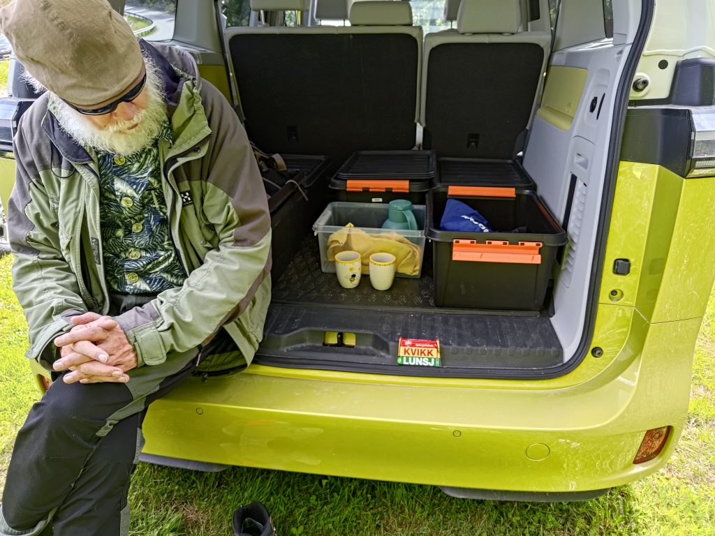
We used about an hour to get back to the car. We changed our socks and shoes, and that was very pleasant on the feet. We shared a chocolate bar and had a cup of coffee each, while sitting at the back of our car. My curiosity was partly satisfied. I had had a pleasant time on the walk, but it was perhaps a bit more strenuous and longer than I was used to.
It was a good day trip for us. We got one short easy walk, and one longer walk that was perhaps a bit too long for us. We were away from home for over 5 hours, which was part of the point of the day.
Note: I have an offline map on my smartphone which is quite useful. I found that on this walk, if I tapped on the position indicator, then on “details”, it could tell me my elevation. At the last place that we stopped it said that we were at 311 meters above sea level. I’m not sure how accurate that is, but it at least gives an indication. While writing this blog, and using an online map that shows the terrain, I estimate that we were at about 210 meters above sea level. So there was quite a difference. I think I would prefer to rely on the official online map.
How does a national stone get selected? What criteria does it have to meet?
Every country is probably different, but If a person is referring to Norway’s national mineral/ stone Thulite, the answer is individual initiative. The Wikipedia article about Thulite in Norwegian tells us, slightly edited: Due to its name, Norwegian distinctiveness and Torgeir T. Garmo in Lom, Thulitt has unofficially been named “Norway’s national stone”. The designation itself has never had a broad foundation like the nomination of Norway’s national rock [Larvikite], but has nevertheless met with acceptance among many and is even listed in the Encyclopædia Britannica as “the national stone of Norway.”
The reason for the comment by Brock about thulite is that 6.5 km up the road we were following is a thulite stone quarry. Thulite is a pink stone.
Quote: “The thulite quarry is located about 350 m above sea level, on the eastern side of the lake Øvre Grandalsdammen (coordinates for the lake: 63.633082626755815N, 10.409632297515753E).
It is a 1,5 to 2 hours walk on a steep hillside from the RV 755. The locality was first described by Reusch (1890). According to Reusch thulite from Leksvik were sold in 1890 in Paris for Nkr 175-200 per ton. Thulite from this quarry has been used for cutting cabochons.
Collecting is strictly forbidden, and violators will be prosecuted. ” Source: https://www.mindat.org/loc-14420.html (2024.07.06)