
My husband and I like to go for longer walks on Sunday, meaning that the walk should be at least an hour and perhaps as much as two or three hours depending on our destination. Our temperatures have been very warm this week but we decided to do the same destinations as last Sunday, but to do the walk differently. We invited a couple to go walking with us as that also becomes a social time for us. The challenge for this walk was that it was already over 20 degrees at the beginning of our walk at 10 am and we were going to climb about 200 meters in altitude.
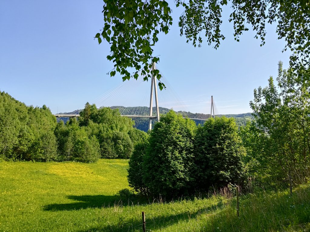
We decided to meet our friends on the Mosvik side of “our” bridge, that is on the western side of Skarnsund Bridge, where there is a large parking lot. No narrow roads to navigate or worry about meeting another car. We agreed to meet at 10 am and we were back at our cars shortly after noon.
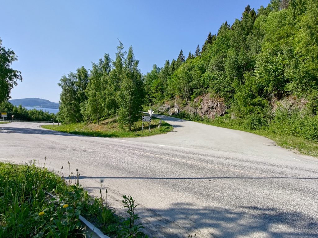
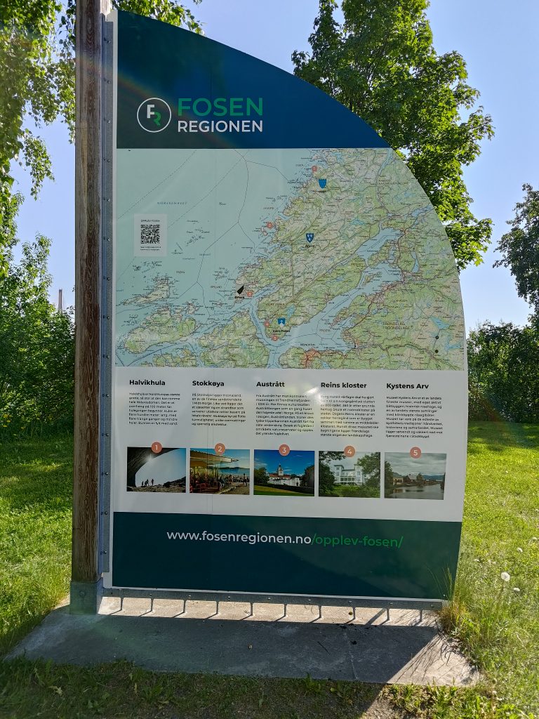
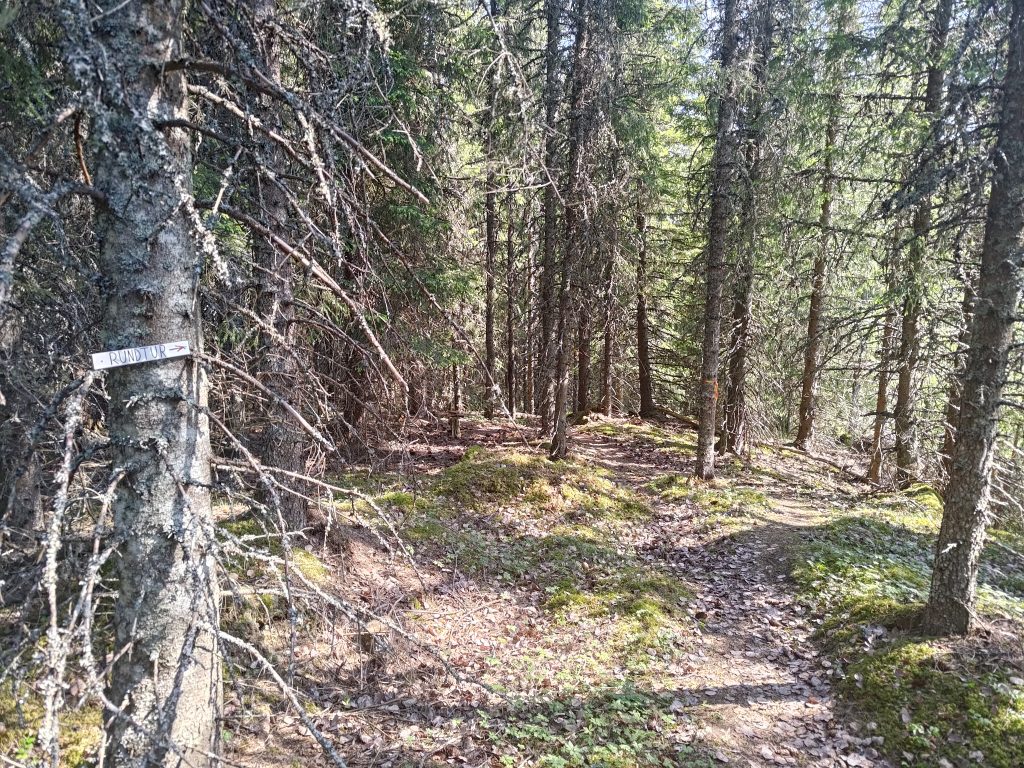
Last week we drove up to a parking area that brings one up to about 100 meters above sea level. Today we are walking from about 20 meters above sea level, but the climb will be mostly gentle. Our goal was to visit both the posts for Furufjellet and Duklettlia, the latter being at 242 meters above sea level. We walked uphill along the gravel road for about 15 minutes before turning off into the woods where we were mostly in the shade and the temperature was fine. This trail takes us around Furufjellet (the Pine Mountain), before we branch onto the trail that took us to the top of Furufjellet.
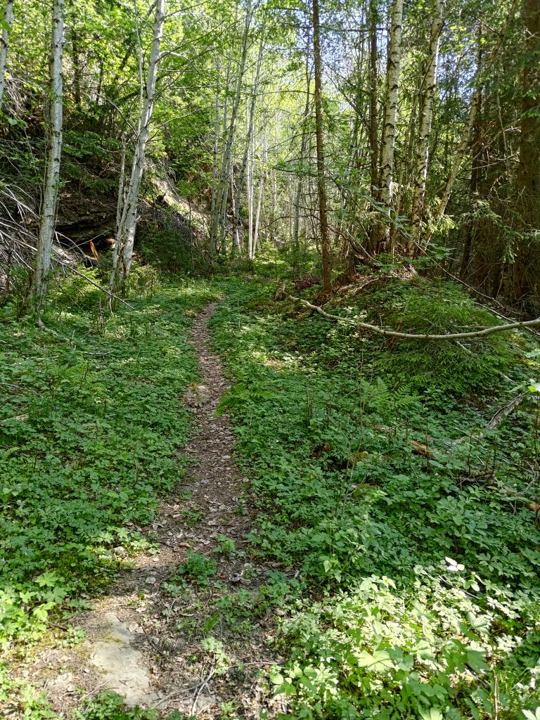
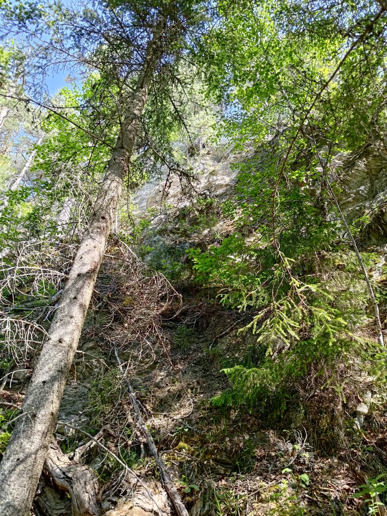
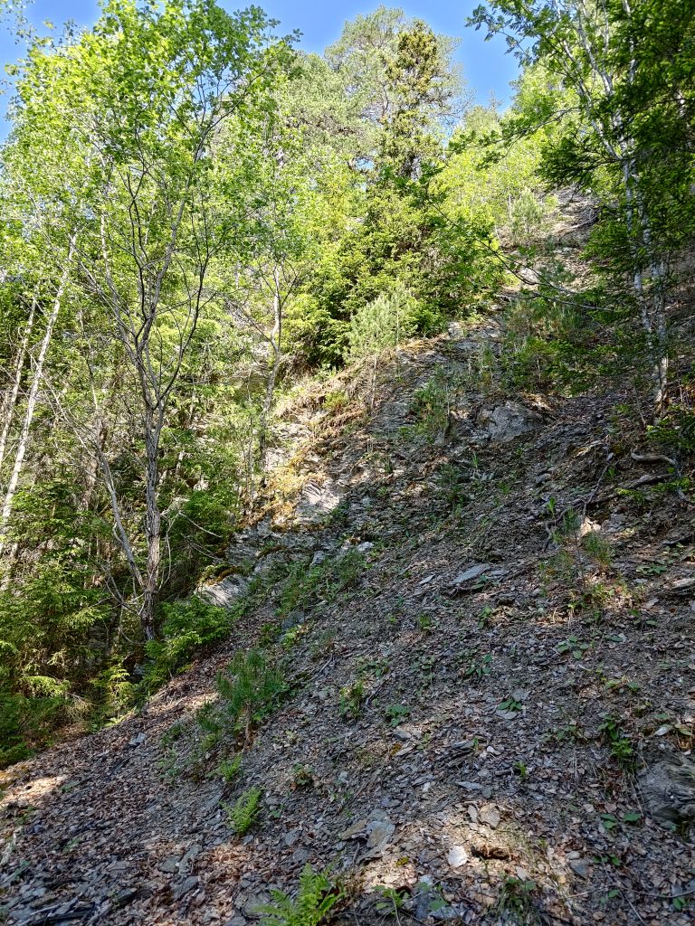
The trail curves around this cliff and after a bit we head up the trail that took us up to the top. I found that taking the trail from this direction was actually better than the way we went last week. It didn’t take long to get to the top, about 30 minutes from the car.
We then went back to the main trail and continued up the trail to Duklettlia, as we did a week ago. I found the steep sections more difficult this week as it was much warmer, but I took my time and I made it.
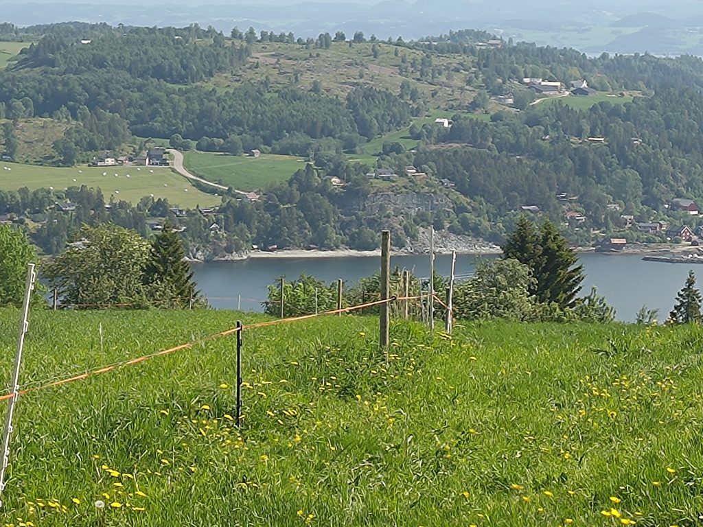
When we were four of us, it was lovely to sit at the picnic table, getting re-hydrated and having a nibble to get energy for the walk downhill. This is one of those walks where it is almost all uphill getting there and then almost all downhill getting back to the car.
This time we decided to take the round trip as posted so we could see where the trail came out. It seemed a gentler slope down the hill and the first section was in the shady woods. After a bit we came out on a grassy tractor road which was probably originally built for logging purposes.
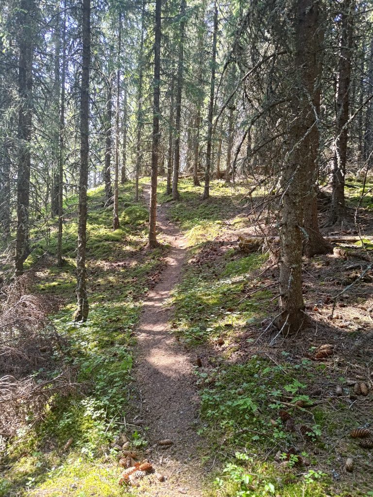
The sun shone through the trees, so it wasn’t so very dark. I was glad to be going downhill now as the day was definitely getting warmer. Eventually we came out at the farm, Duklett, and went through two fences to get to their driveway. I think we missed a turnoff to the trail we should have been following, but there was no problem finding our way back to our cars from the farm.
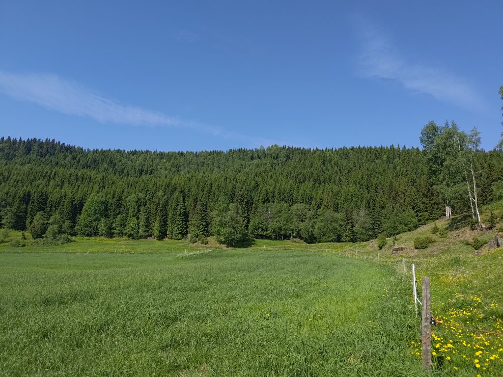
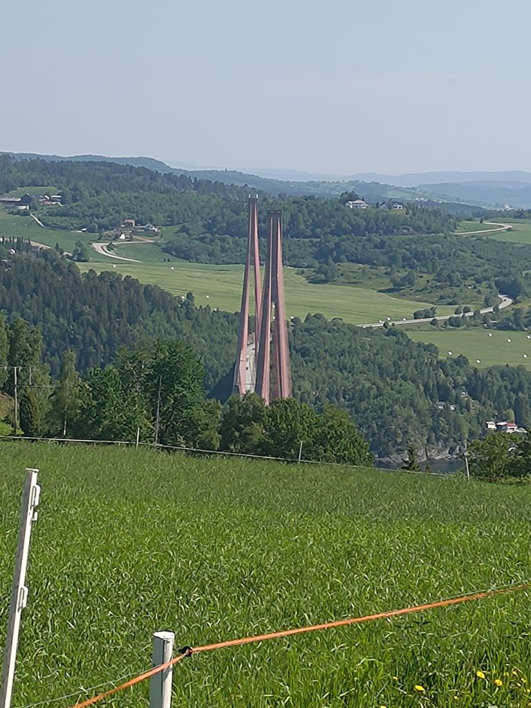
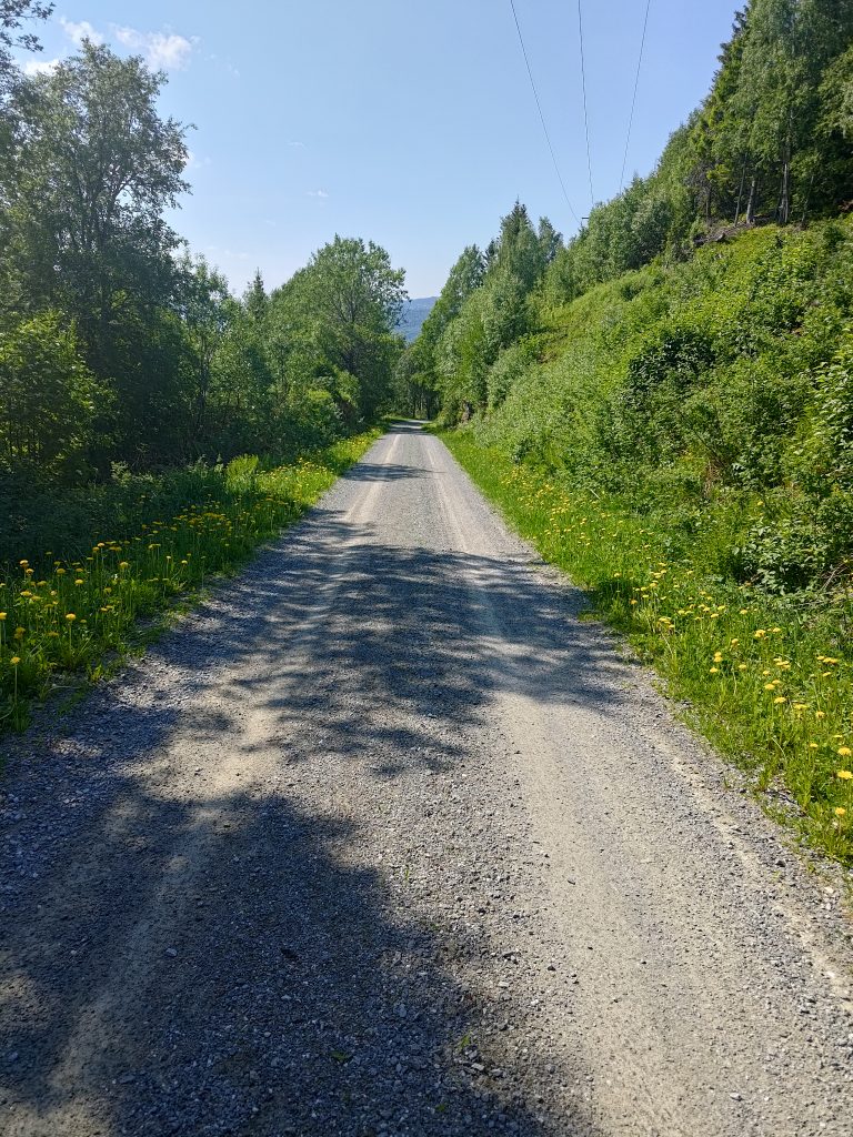
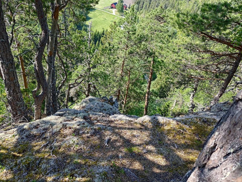
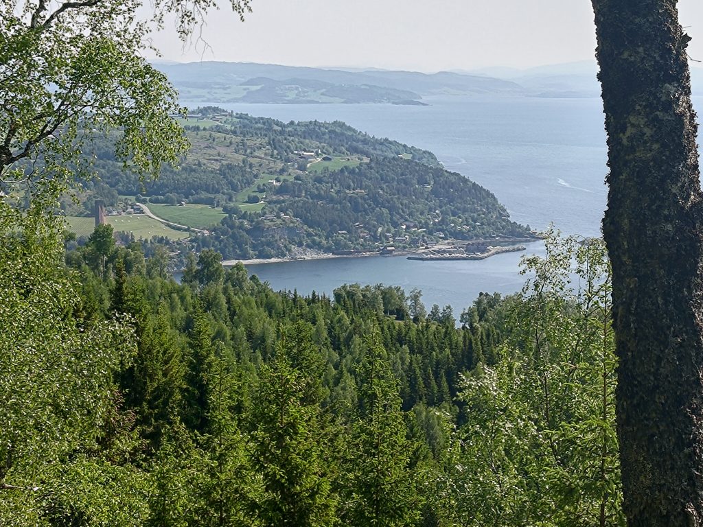
From the farm we were able to walk down a gravel road, getting back to the one we had climbed up about two hours before. We reached our cars a little over two hours after we had started our walk. We had probably spent about 25 minutes at the top. It was a warm morning and I certainly had difficulties coping with the heat on the steepest uphill sections. Going downhill was much more pleasant. But the view from the top makes the hike worthwhile and this is one that we will do again. Perhaps next time we will take the walk in the opposite direction and I think I’ll wait until the weather is a bit cooler.