A sunny Sunday got us out of the house and walking in the woods. Though it was only 5 degrees centigrade when we left home, by the time we came back about three hours later it was up to 12 degrees. With sunshine all day long and almost no wind, it was the first really pleasant day this spring.
To get to the beginning of our walk we took a 25 minute drive up into the hills of Røra in Inderøy. We parked the car and headed uphill. Though we saw one family at the parking lot, and met one couple on our way back, we were alone with only the sounds of nature. Even the sounds of birds were seldom. As with many of the walks that we take, the first section was uphill, then there was a fairly even section, then downhill to the lake we were heading to. We walked back to the car on the same route this time. As it is a lengthy drive from home, when we come up into these hills we like to take a walk that is at least two to three hours.
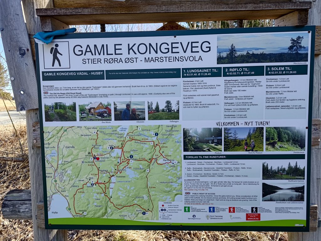
One thing I have learned to do is to always take a picture of the map at the parking spot. One may need to reference it during the walk to see if we are on the right path. There are all sorts of paths in these hills and we had a definite goal for our walk. In addition I have a map on my telephone, which I love. The advantage of a map on the phone is that it actually tells you where you are. I’ve always loved reading maps, but it is also important to actually know where you are. GPS, both in the car and on my phone, is very useful.
We are going to follow part of the Old Royal Road or King’s Road, which was used until about 1800 as the main road through our area. This section of road that has been preserved by the local history clubs is about 7 km, but we only went along part of it.
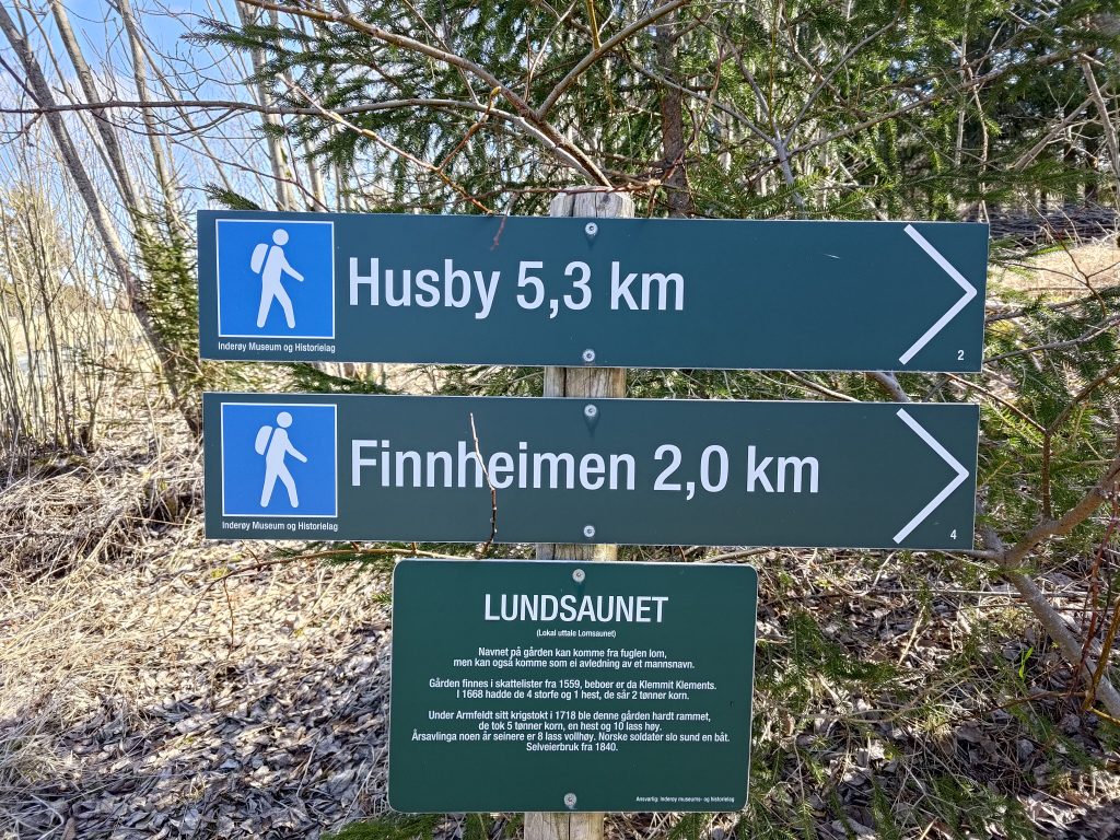
The name for the farm, Lundsaunet, which is where we parked, could come from the name of the bird, “lom” / loon, though it could come from a man’s name. The farm was registered in 1559 and is still a working farm. We often walk to Finnheimen at the north end of Leklemsvatnet, but today we decided to walk to the south end of the lake where there is a dam. We are headed in the direction of Husby, but only walk about half way, about 2.5 km.
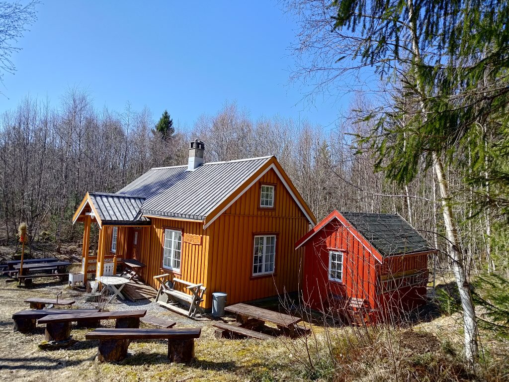
As we walk along the trail, we come across this building owned and operated by the Inderøy Museum and History Association. There are often meetings held here, but there was no activity as we walked by. They have made a lot of seating outside the building. This is the typical size house from the 1800s for those living in rural areas and not owning their own prestigious estate.
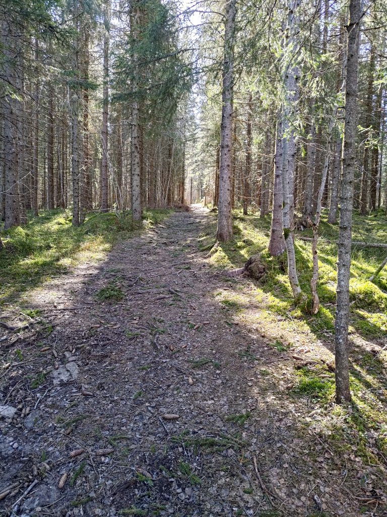
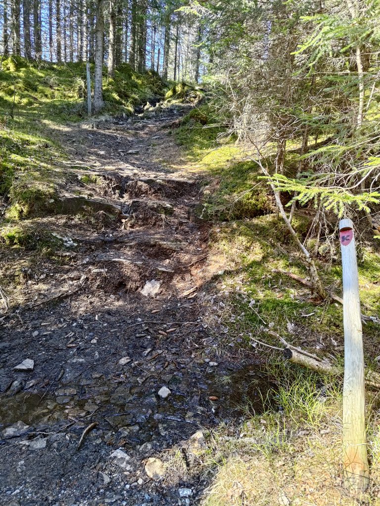
Most of our walk was through the woods. We were walking southwards, so often the sun was in our eyes. Even though I was wearing sunglasses, it wasn’t always easy to see with both bright sunshine and shade alternating on the path. The first 20 minutes or so of the walk was primarily uphill and in some places it was a bit rocky. Other places, like this section, were fairly level and covered with leaves and relatively easy walking.
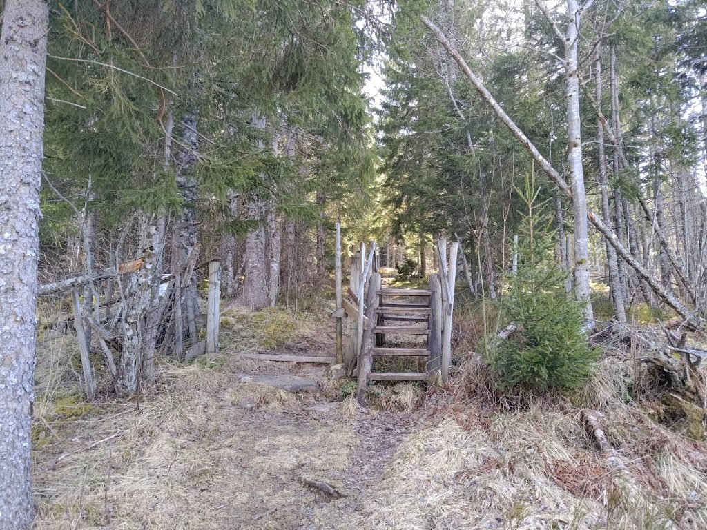
This is a farming area and in the summer months there will be sheep out grazing. They are kept away from the cultivated fields by fencing. As it is too early in the year for the sheep to be out, the gate has been put completely to the side so that walkers have no problems following the trail. Once the sheep are out, the gate will be closed and people will be expected to climb over the stile. This saves a lot of problems as not all people are good at closing gates behind them.
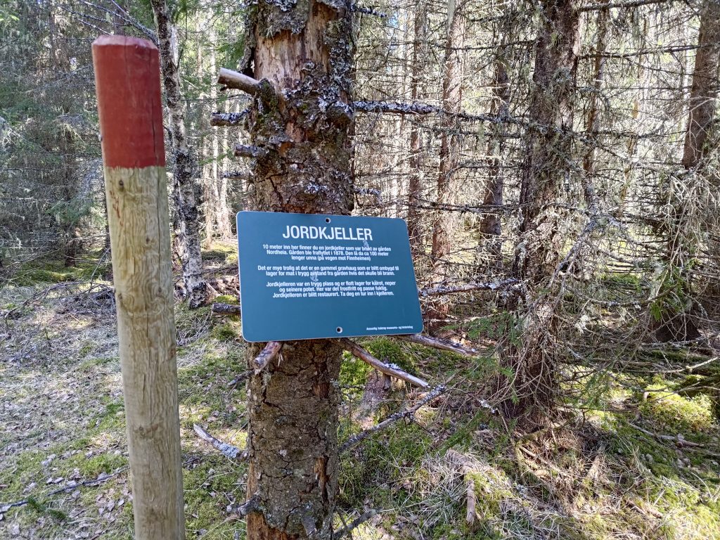
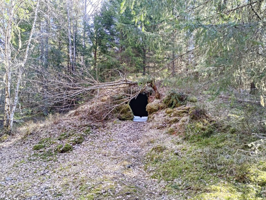
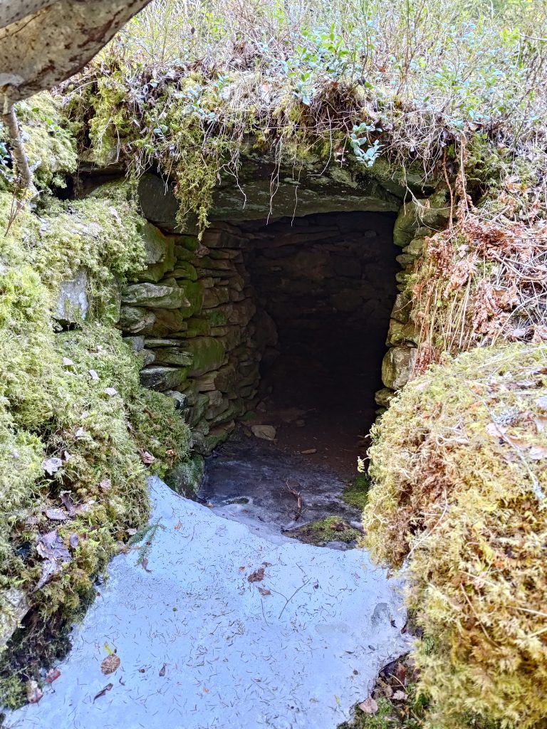
I hadn’t seen this sign before so I went to investigate it. The earth cellar was used by a farm nearby. The farm was abandoned in 1878. In the cellar they would have kept root vegetables, such as turnips and potatoes, in a damp, but above freezing place. This cellar is about 100 meters away from the farm buildings, a safe distance if there should be a fire. Note in the picture the pole with the red top which is used to mark trails so that they are visible both summer and winter.
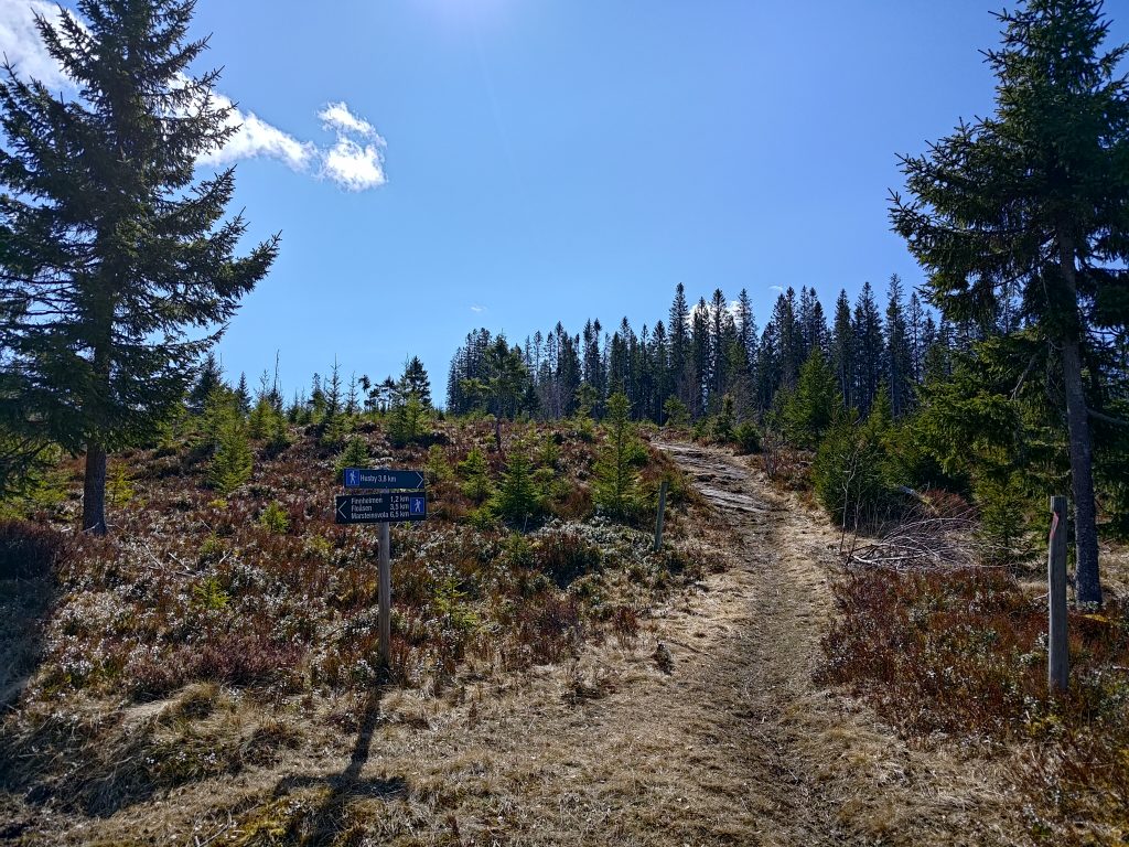
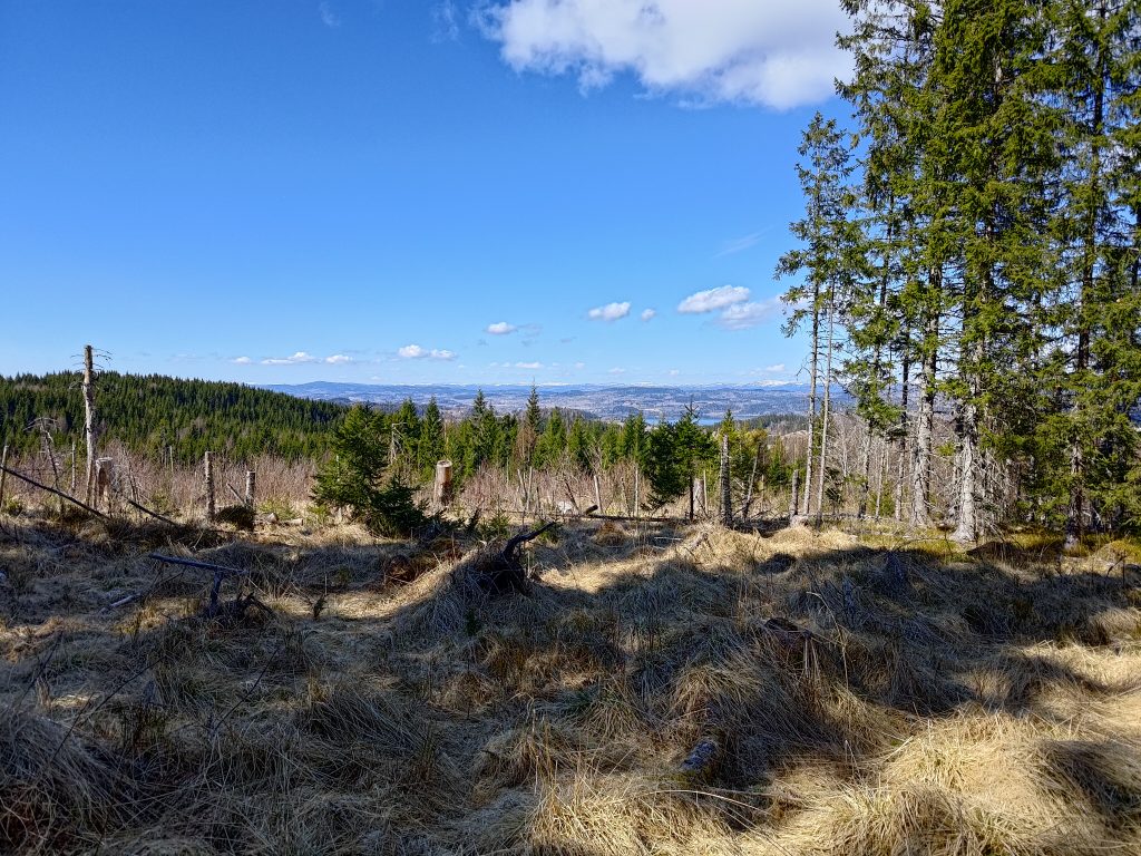
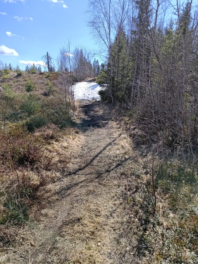
Eventually we began to climb again and came out into the open where the forest has been cut down relatively recently. Lots of choices on where one can go from here. We chose to continue on the trail towards Husby and climbed up the hill ahead of us.
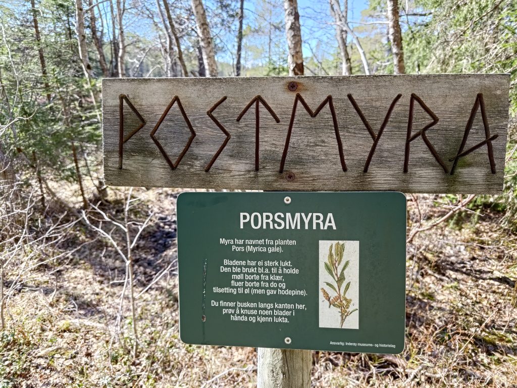
“Myr” is a swampy area. Though we haven’t had much rain recently, this would be a very wet area. This swamp is called “Porsmyra” because of the plant “pors” which grows here. Pors /myrica gale has a strong smell and was often used to keep moths from clothing, flies away from outside toilets and in making beer. Inderøy is full of swamps, but what was most interesting for us was seeing a pair of cranes feeding in the swamp.
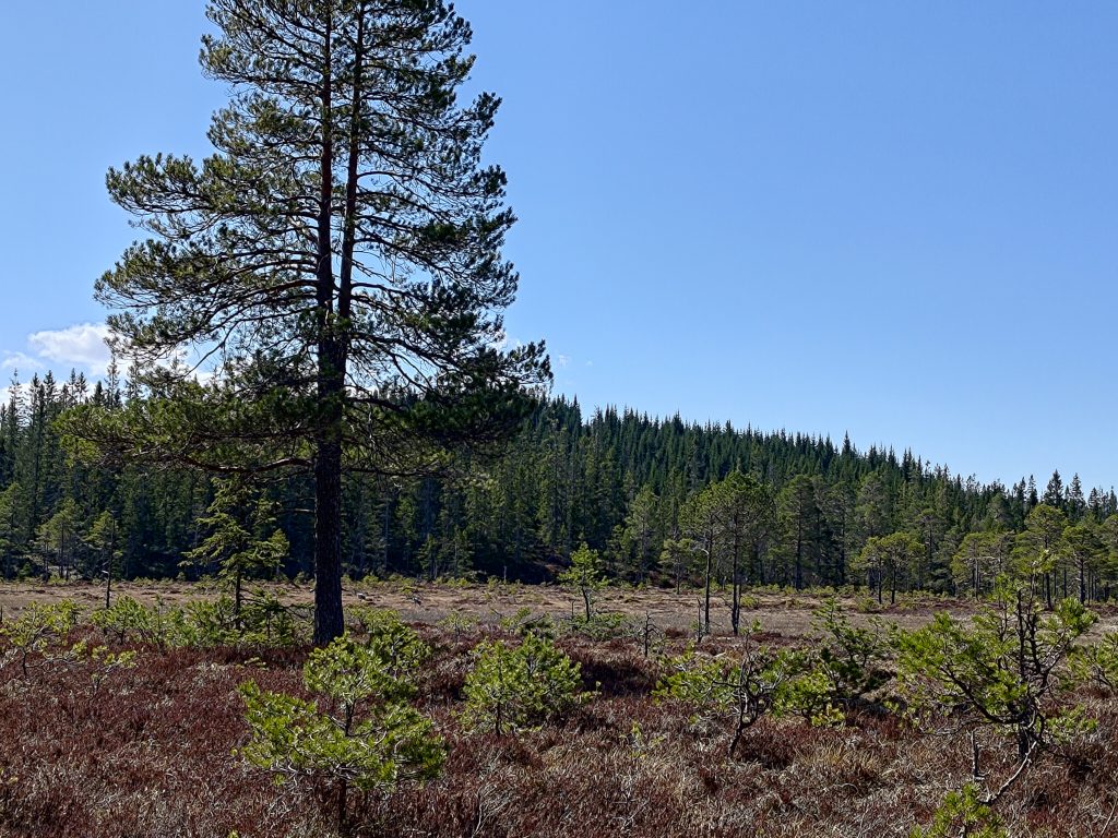
Cranes (grus grus) are the largest bird found in Inderøy. They are from 95 to 130 cm in height and can weigh between 4.5 to 6 kg. We have seen cranes several times this spring, including in the field next to our house. There seems to be more and more each year. They avoid people and quickly fly away if one gets too close to them. I have learned to recognize their trumpet-like call, so I heard them first then looked for them in the swamp.
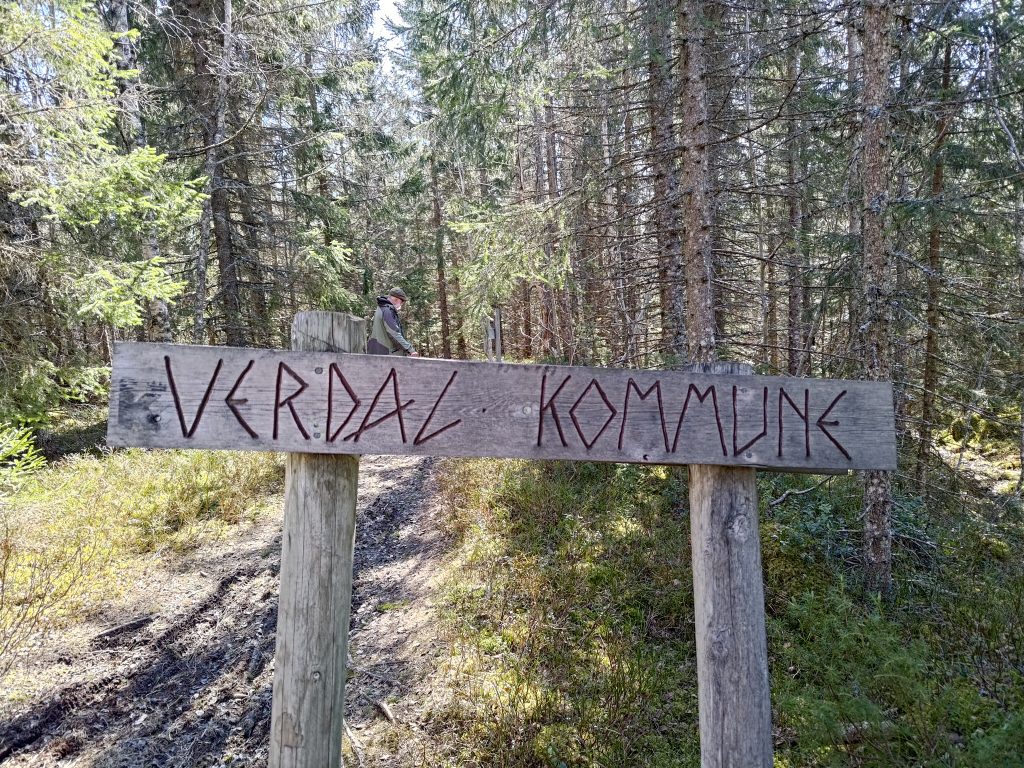
We crossed into the neighboring municipality on our walk. Behind the sign is my walking companion, dressed in traditional green and black.
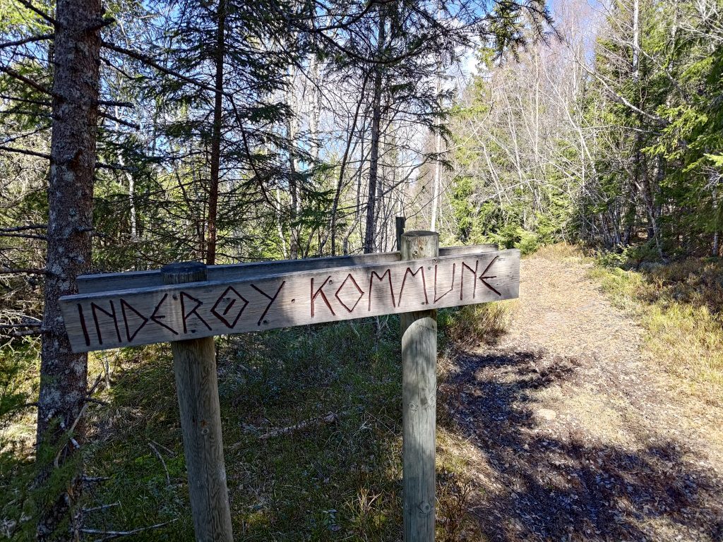
Of course, if we look back the way we came from, it shows that we have come from Inderøy municipality.
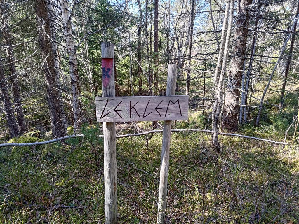
Once we had crossed into Verdal, we were in the area called Leklem, and we are headed to the south end of Leklem Lake. Note the post, with a red section and a large K, showing that we are on the King’s Road (Kongeveien).
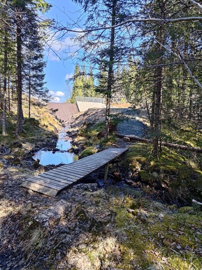
Our goal for the walk was to get to this dam. The first time we found this place, they had emptied the lake and were rebuilding the dam. The lake is a water reserve for Verdal municipality, but otherwise the water spilled over the top of the dam and ran down this stream that we crossed.
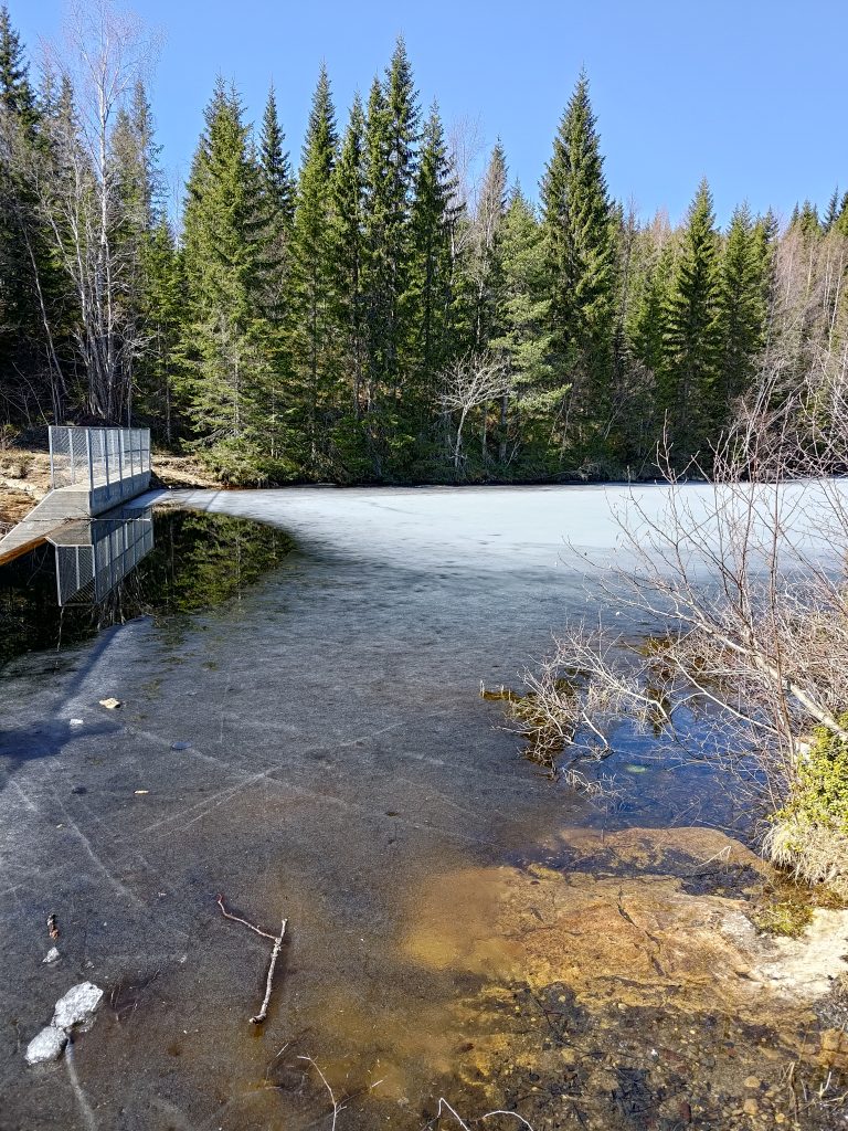
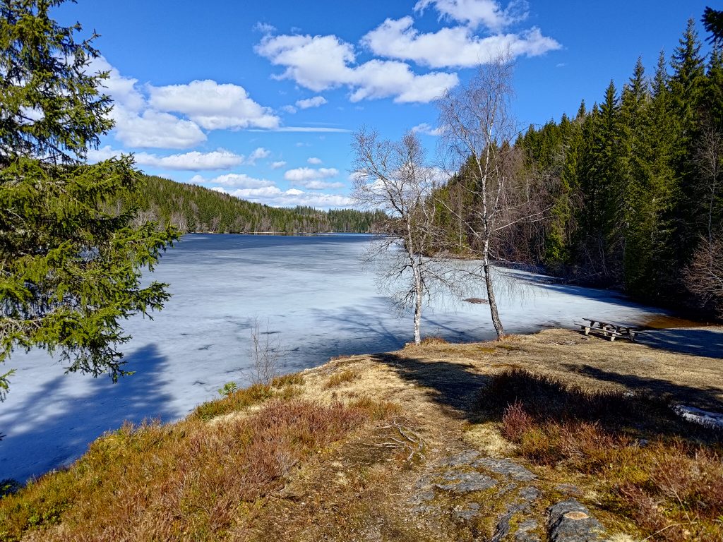
The lake was still partly frozen, but with 12 degrees and sunshine, I don’t imagine it will stay frozen very much longer. We found a picnic bench to sit at so we took a well-deserved pause in our walking. We had used one and a half hours to get to this point, with all the stops we had taken to look at the views, to watch birds and to take photos. We used only one hour to get back to the car, but I think there was less uphill on the way back, which certainly means that we walked quicker.
Walking north, back to the car, we saw the views that I quite like. The best views were from a logged area, where it was very open and the new trees were still quite short. Though there is a lot of wooded area on these hills, there are also a lot of farms in Inderøy and Steinkjer.
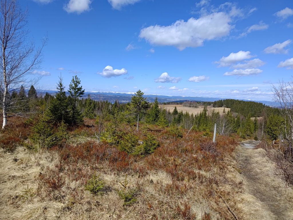
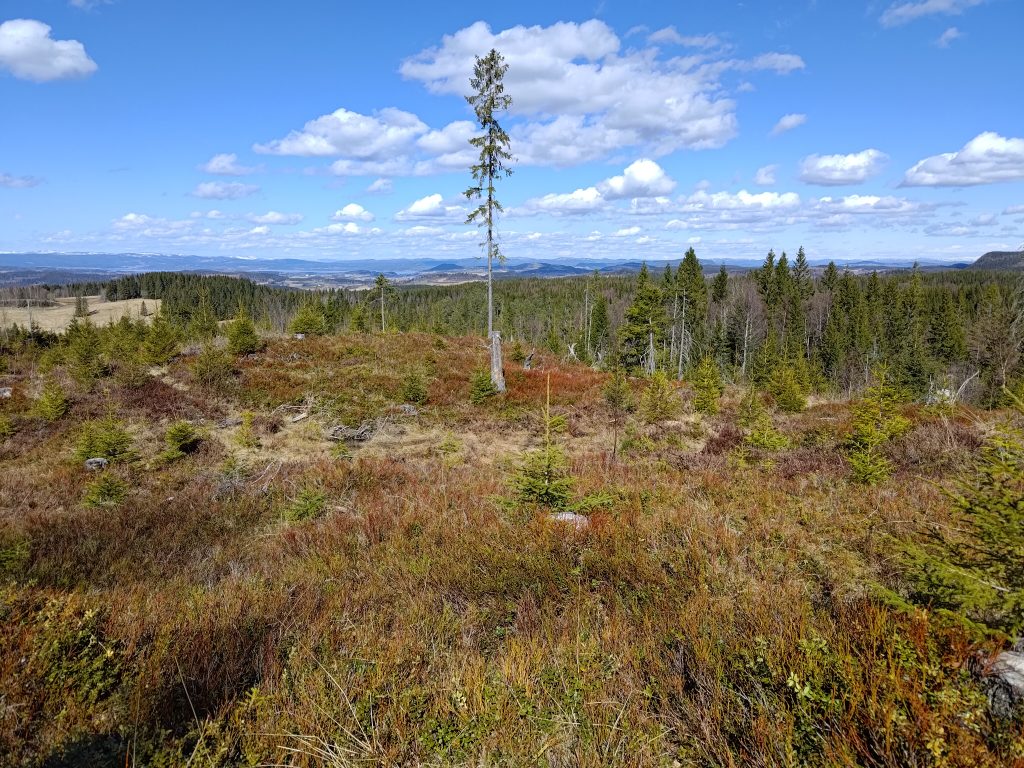
We used two and a half hours on our walk today, and we were healthily tired when we got back to the car. A thermos with coffee and two cookies each helped revive us. We also changed our shoes so that tired feet felt a bit of relief.
Something we could have done better was to have taken a small backpack with bottles of water. Today was the first warm day and the longest walk we have taken this year, but a drink of water would have been good when we took a break before heading back to the car. It can also be nice to have something to put clothing in as layers get taken off as the day gets warmer. I had taken off my wind jacket about half an hour into the walk. With no wind and lots of sunshine, it wasn’t needed.
This was a most enjoyable walk. We were well away from roads with traffic. It was quiet except for our noises and voices, which is something we both appreciate. The temperature was perfect for walking, not cold, nor too hot. Next time we come to these hills we will probably take a slightly different walk, but this is one I especially enjoy. I hope you were able to get out in nature on the weekend too. Being near trees is supposed to be very good for our mental health.
