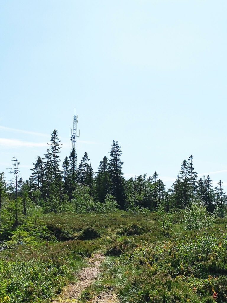
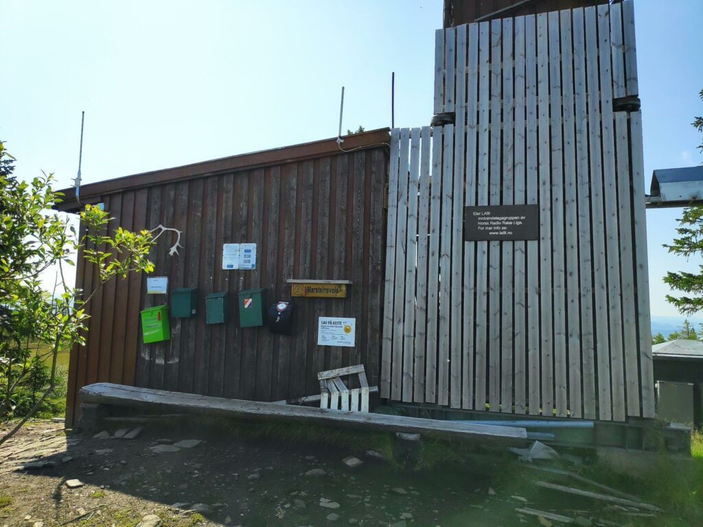
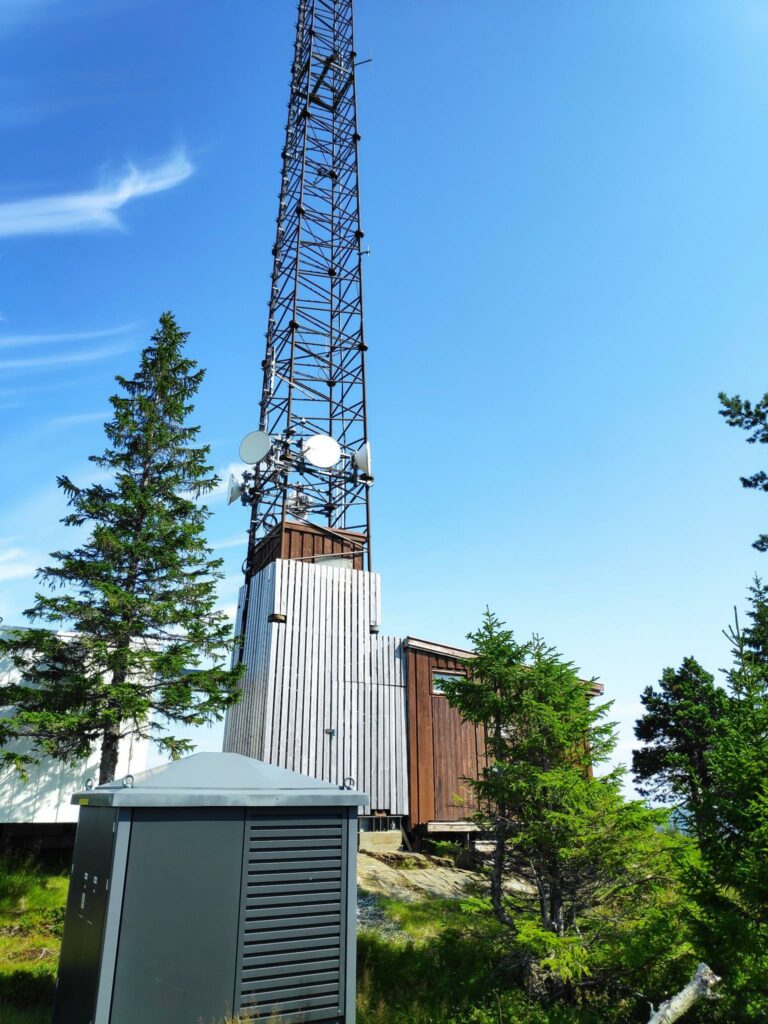
Saturday’s long walk was about 10 km and my walking companions were my husband and my son. Marsteinsvola is a hilltop that has a ham radio mast (among other things) and lies at 442 meters above sea level.
This walk was much longer than any of the three of us really enjoy. was that this was the But my son has his ham radio license and my husband is studying for his license, so I thought that going up to see the mast was a good goal for a walk. A new period of warm weather was being forecast when we were planning this walk the evening before, so it looked like we would have clear skies, it wouldn’t be too warm and hopefully there wouldn’t be too many insects. Well, read on to see what we experienced.
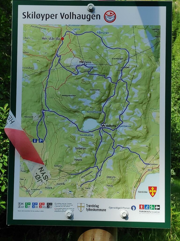
I will start with a map so that you can see the route that we took. We were able to take a round trip, meaning that we went up one trail and came down a different one. Only the half kilometer of road out to the parking lot was done on both parts of the walk.
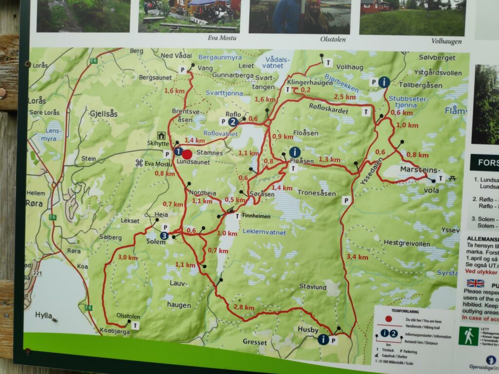
We parked at Røflo (2), near Inderøy’s main water source, Røflovatnet (188 meters above sea level). We walked along the north side of the lake and took the trail through Røfloskardet (280 meters above sea level). This was our first steep climb. At roughly the T on the map, we were able to check-in to the app on our phones and get 30 points for our efforts so far. We have now walked about 2.5 km, so about half way to our final destination.
We continued on uphill on the trail to Marsteinsvola (442 meters above sea level), a challenging climb with some very steep sections that got us older walkers puffing and panting and needing breaks to get our breathing and heart beat back to normal before continuing. The younger person got to the summit much quicker than his older parents. However, we got 50 points for our efforts when we got to the top. At the top we took a good break, drinking water and eating sandwiches so that we would have the energy to get back to our car.
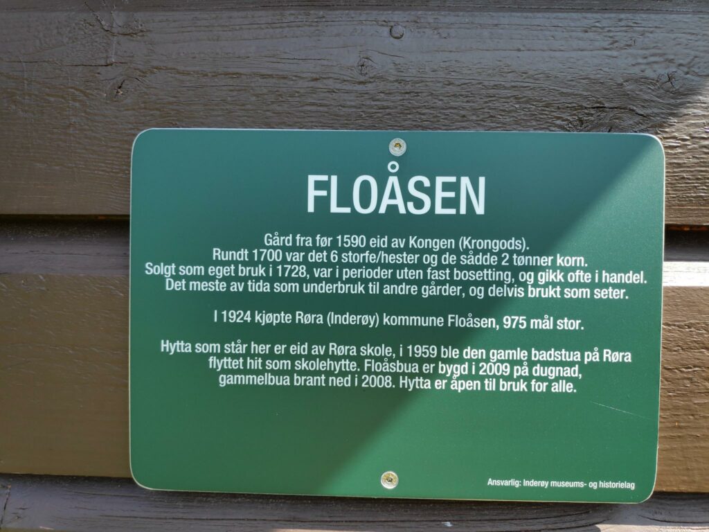
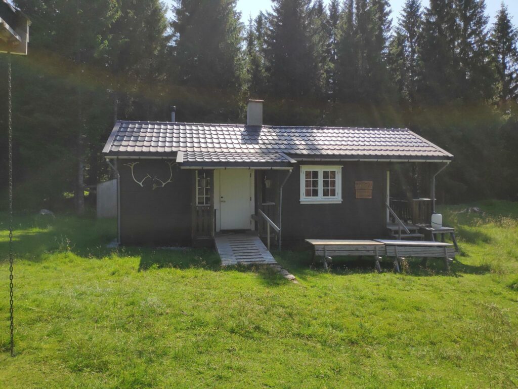
We took the alternative route downhill that took us through Yssedalen/Ydsedalen (two spellings found on the walk) before heading west to Fløåsen (about 280 meters over sea level) where we got another 20 points. Here we took a sit-down pause before taking the final downhill section back to the parking lot at Røflo where we found our car still parked in the shade.
How long did this take? We left the car at about 10:30. I checked in at Stubbseteren at 11:15, so we used about 45 minutes on the first quarter of the walk. I checked in to Marsteinsvola at 12:10, perhaps 5 minutes after I got there, so we used a little more than one and a half hours from the car to the summit. We spent about half an hour at the top before heading back to the car. I checked in to Fløåsen at 13:34, so about one hour after we left the summit. We had a rest for at least 10 minutes and were back to the car at 14:00. So we used a little under one and a half hours to get back to the car. As usual, it takes a little less time to go downhill than uphill. For the round trip we used three and a half hours.
Norwegian vocabulary
A lot of the place names are actually based on words that refer to a type of place. Here are a list of some of the ones that we come across a lot in our walks in Inderøy You will find these on the map above. In Norwegian, nouns use an ending to show the definite article (the) that we put in front of a noun in English. The most common endings are -en, -et, -a.
- bekken – the stream, the brook
- berget – the mountain
- dalen – the valley
- haugen – the hill
- heimen – the home
- hytte – cabin; hytta – the cabin
- myra/myran- the bog
- seteren – the mountain farm, usually used only in the summer
- skardet – the gorge
- tjønna – the small lake
- vatnet – the lake
- vola/vollen – the embankment
- åsen – the ridge
Norwegian has many dialects and this will be reflected in place names. The same word can have many spellings, and pronunciations, depending on what part of the country you are in.
The Trail
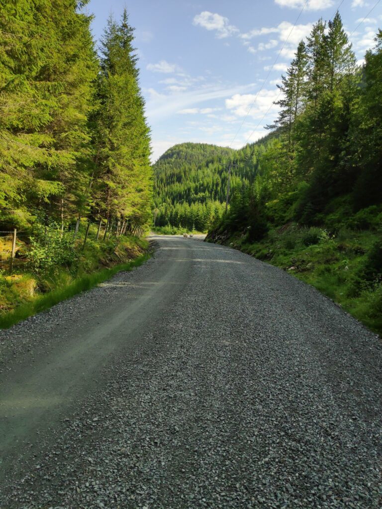
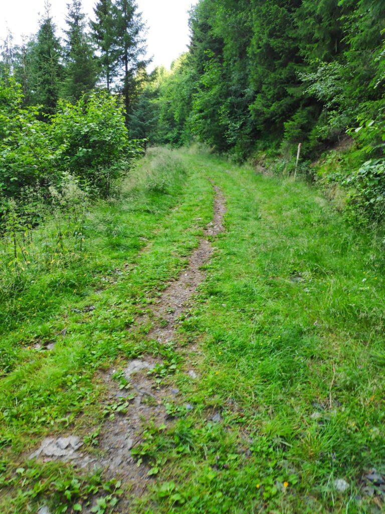
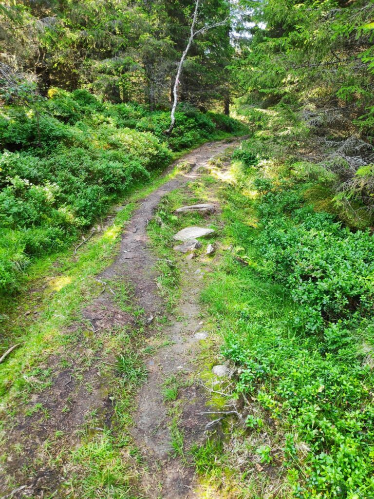
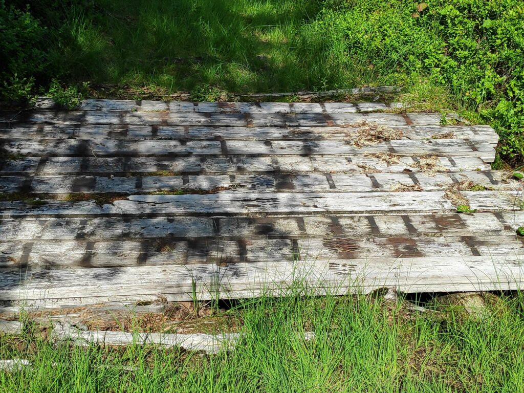
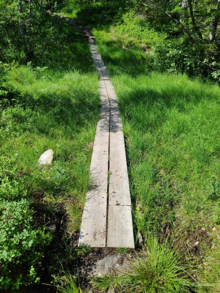
The nature of the trails that we were following varied. We started on a gravel road. We had sections that were obviously originally tractor roads, wide enough for three people to walk abreast. In some places we had lovely dry forest trails and unfortunately, this walk entails a lot of very swampy, wet ground. We all had good shoes on, a must on this hike.
Stubbseteren
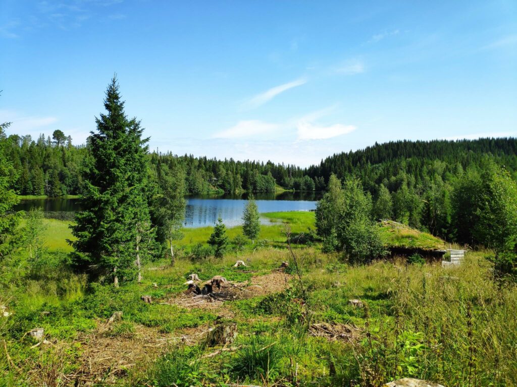
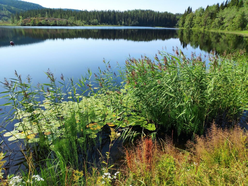
We often walk around this lake, Stubbsetertjønna, but today we just saw it from a distance and kept on going. Half of the lake is in the municipality of Inderøy (where we are standing) and the other half is in Steinkjer which is on the far side of the lake.
Marsteinsvola
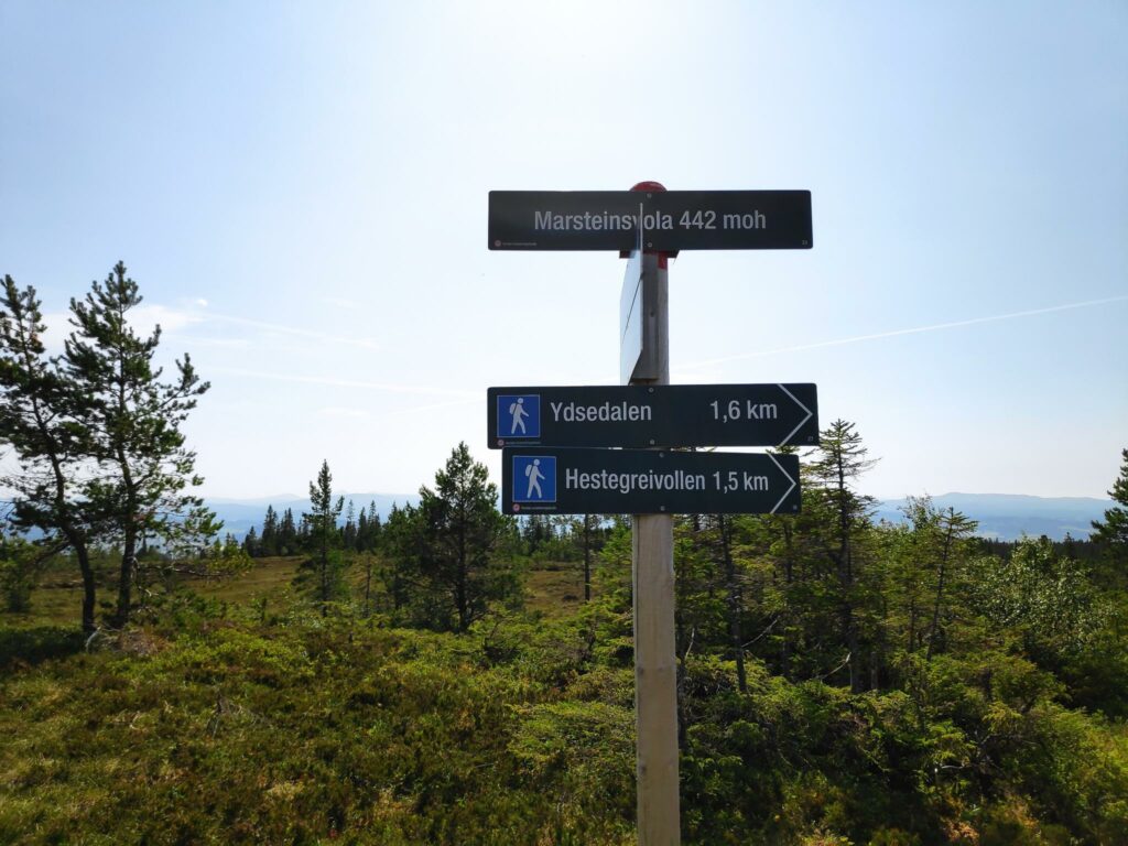
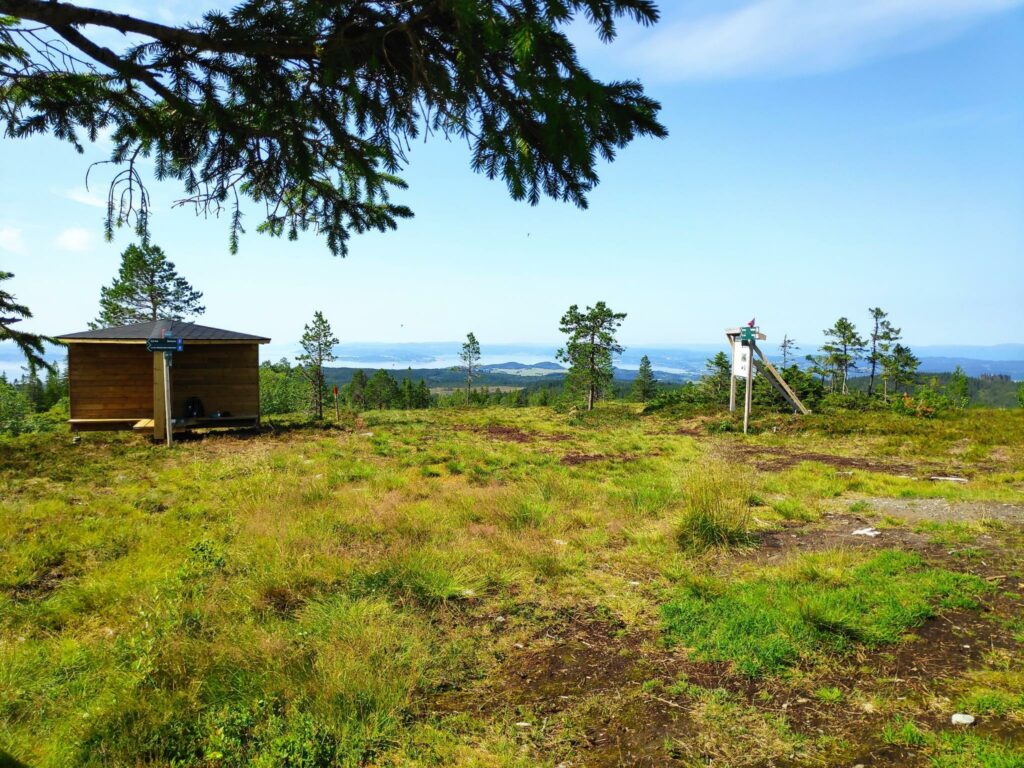
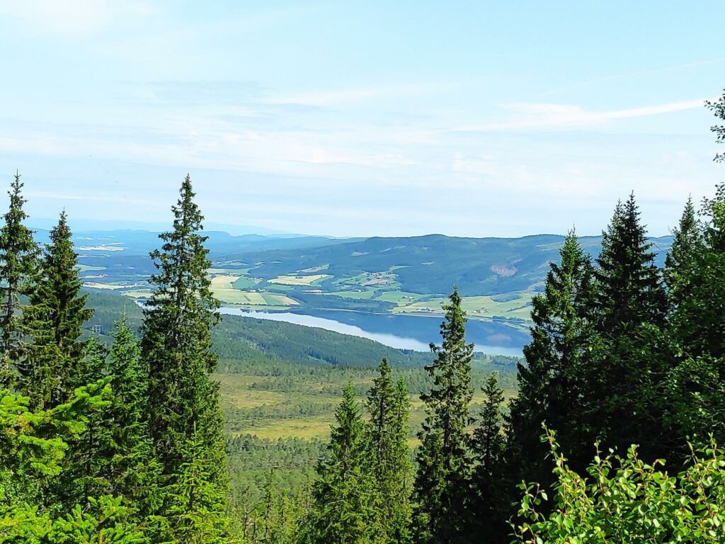
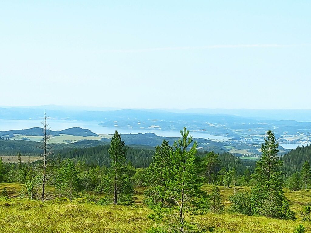
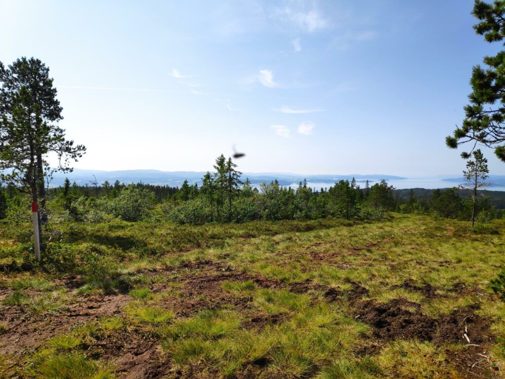
This was the reason for taking this long walk, though I find the walk a bit too long for me now and there is a lot of swampy ground to cross. The top of this hill, though we are 442 meters above sea level, is quite wide at the top. The weather was hazy, but there were few places where one was high enough above the trees to see the view very well.
Marsteinsvola is also the meeting of three municipalities, Inderøy, Verdal and Steinkjer. Both Inderøy and Verdal have a lot of marked trails in the area, both for hikers and for skiers in the winter.
Fløåsen
Though a 10 km walk is much more than we usually do, we had a nice morning to do the walk. I probably won’t do this walk again for several years. I need a reason to take someone on this strenuous walk.
