
General information
This is the 19th year in a row that Inderøy Walks have been arranged. This is a cooperation among many local organizations including sports clubs, the municipality and many volunteers. Inderøy has a lot of walking trails and only some of them are marked as Inderøy Walks. In 2024, there are 50 posts. 14 of them are suitable for those with reduced abilities to get around. As in previous years, it is possible to park the car and go for longer walks where one can check in to more than one post. (Rough translation from Norwegian of the introduction on the website).

In the local newspaper, the municipality has been divided into seven areas, so that there are several walks available in each area. We live in the area called Utøy. Our local newspaper printed a list of the 50 posts. Those in red are accessible for those using a wheelchair or pushing a stroller. Those in blue are walks accessible to an elementary school.
Today, the 11th of May, was the first day of the Inderøy Walks 2024 and the competition is open until the 2nd of November. I don’t really want to compete with others, but I enjoy having the app on my phone and different places to go walking to and explore. For me, it is mostly about getting somewhere interesting, perhaps somewhere I haven’t been to before, and getting a reward for getting there. I never have the goal of trying to get every post, but I do try to get to some from each area of the municipality.
Saturday’s Walk
As it was forecast for rain later in the day, I decided to go as soon as I was up for the day, shortly after 6 am. It was nice walking weather, partly sunny, no wind and about 9 degrees. I chose to go to the two posts that are easiest to get to from home without driving.

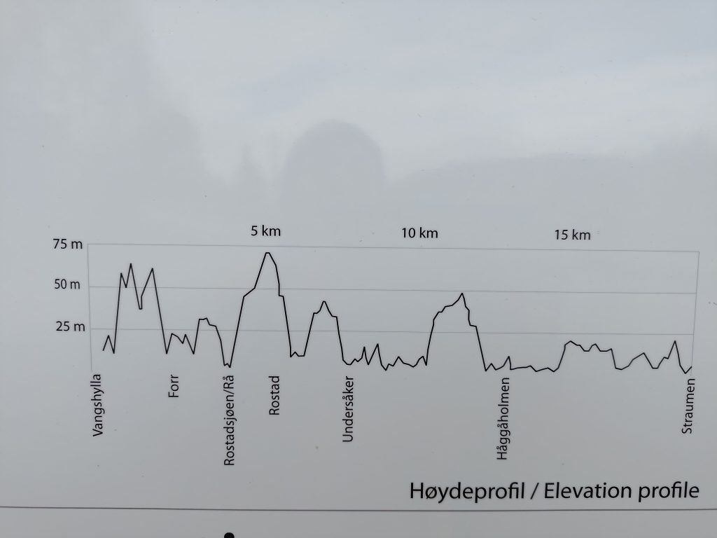
The walk I went on is part of the municipal cultural walk from Vangshylla to Straumen which is about 20 km along this path through the woods, though the driving distance is about 12 km. I only went a short part of the whole walk and then returned partly the same way.
We live in an area that has a lot of leisure cabins, mostly used during the summer months. So I often use other paths than if one started at the parking area at Vangshylla. The first part of the walk for me is along a dirt road that leads to one year-round dwelling, one farm and a restricted-access road.
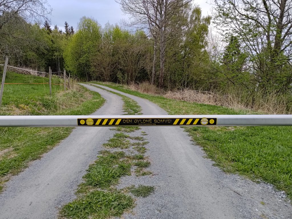

We have lived in our house for over 35 years and during that time I have walked these trails many times and seen many changes. Often after the winter, there can have been damage in the woods, both from loggers and from storms. I had been along part of the trail once before this spring, but not the whole way to Høghalleren.
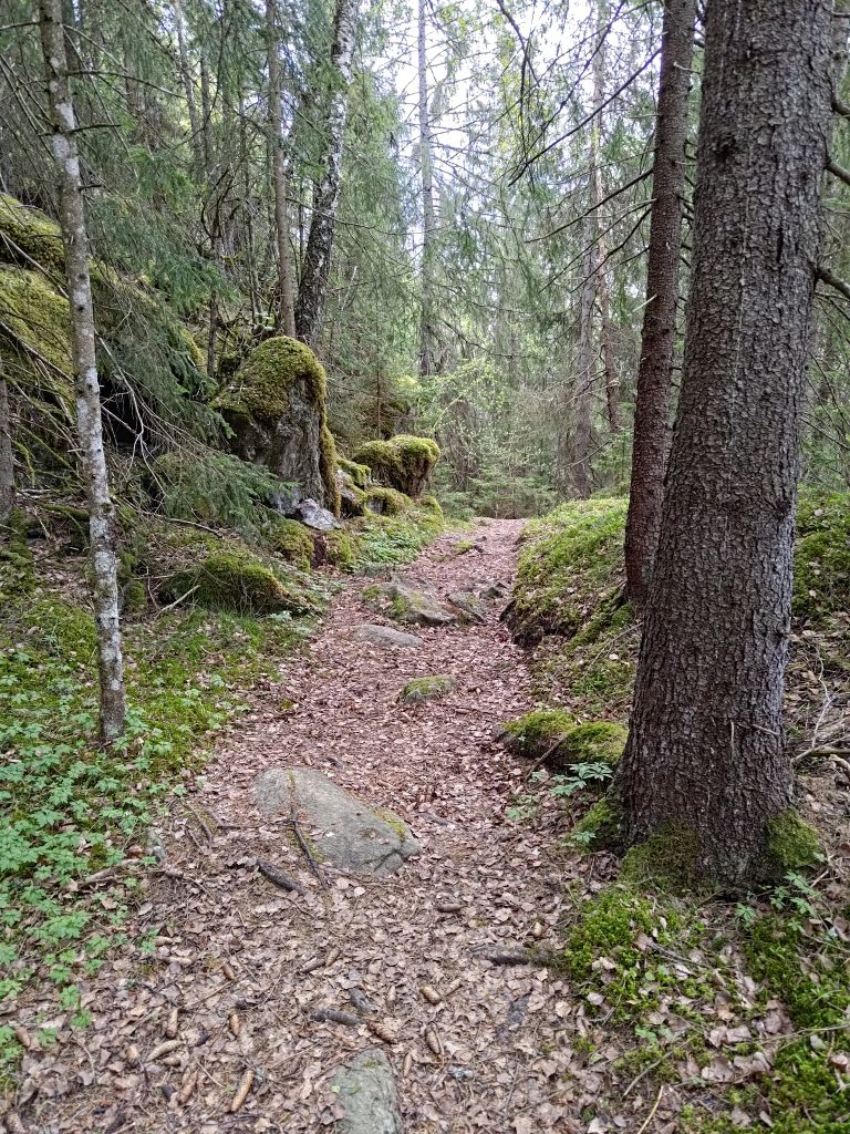
Once I was away from the cabins, the trail went into the woods with various types of trees, but primarily spruce, birch and rowan, as well as hazel, willow and pine. The trail goes down at this point and one has to walk carefully. It is quite easy to see the trail as it is well used.
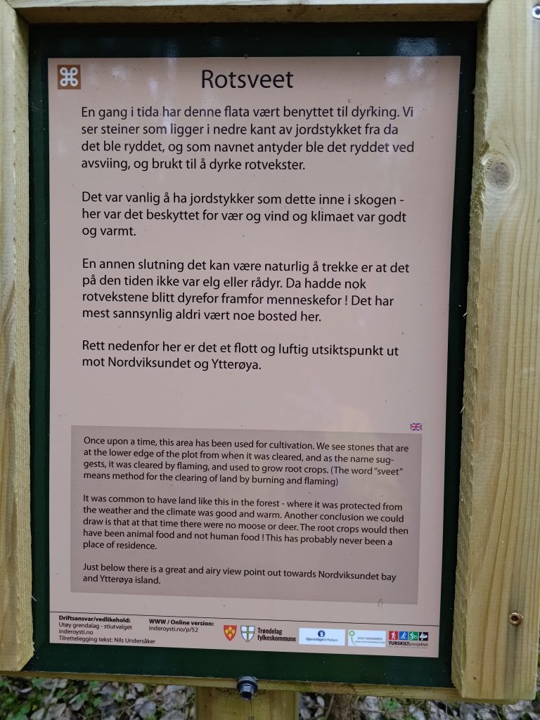
As mentioned, this trail is a “cultural” trail and there are a lot of information signs along the way. They have been printed in Norwegian and English. Most of them give historical information about what the area has been used for.
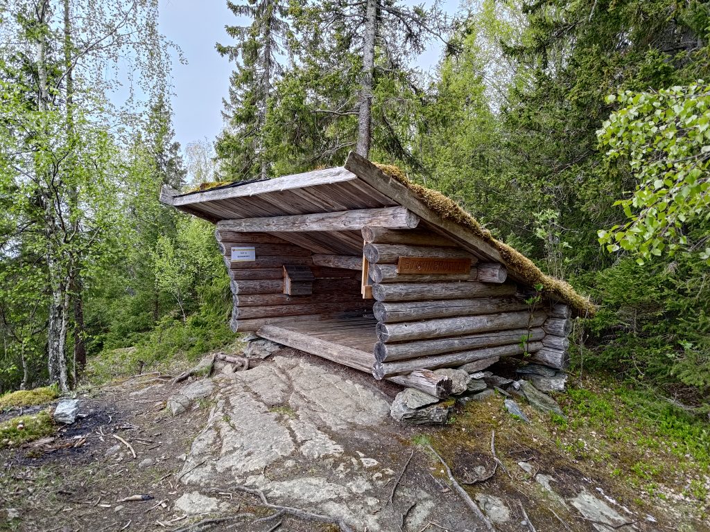
I got to the first post at Bjørnbrottet (Bear Cliff) about 20 minutes after leaving home, but I wanted to continue on and visit one more post. What surprised me as I continued on was the changes since I had been here last summer.

But first I had to go down a very steep section of the trail. Where the trail seems to end, it actually goes down quite a steep slope.
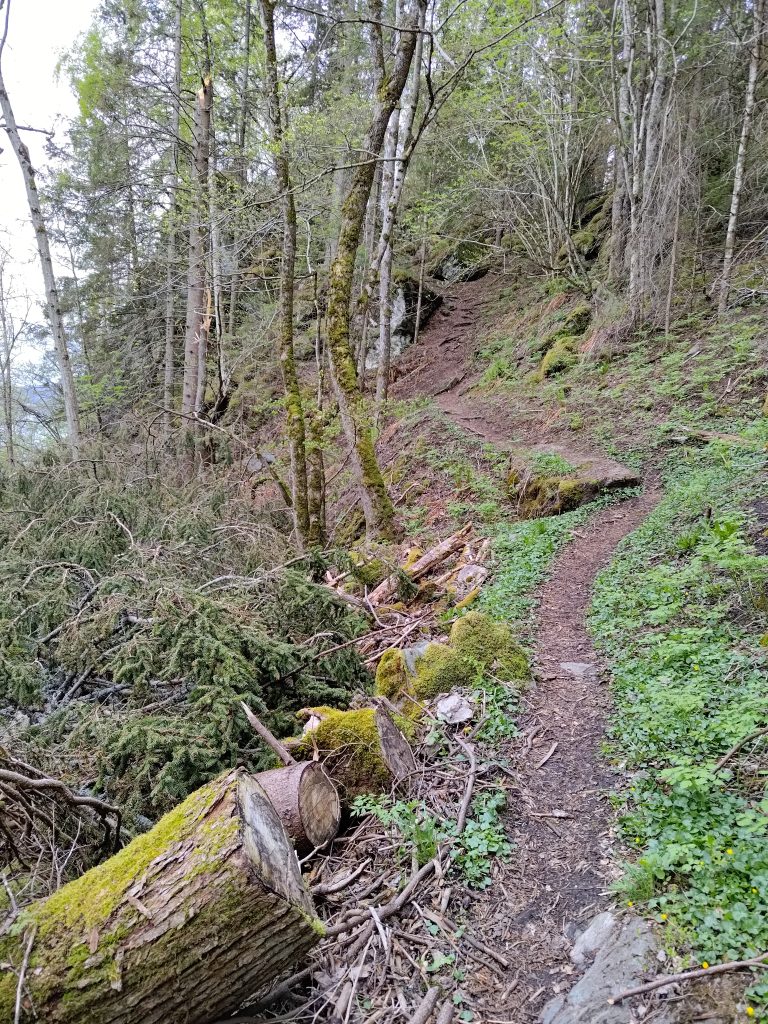
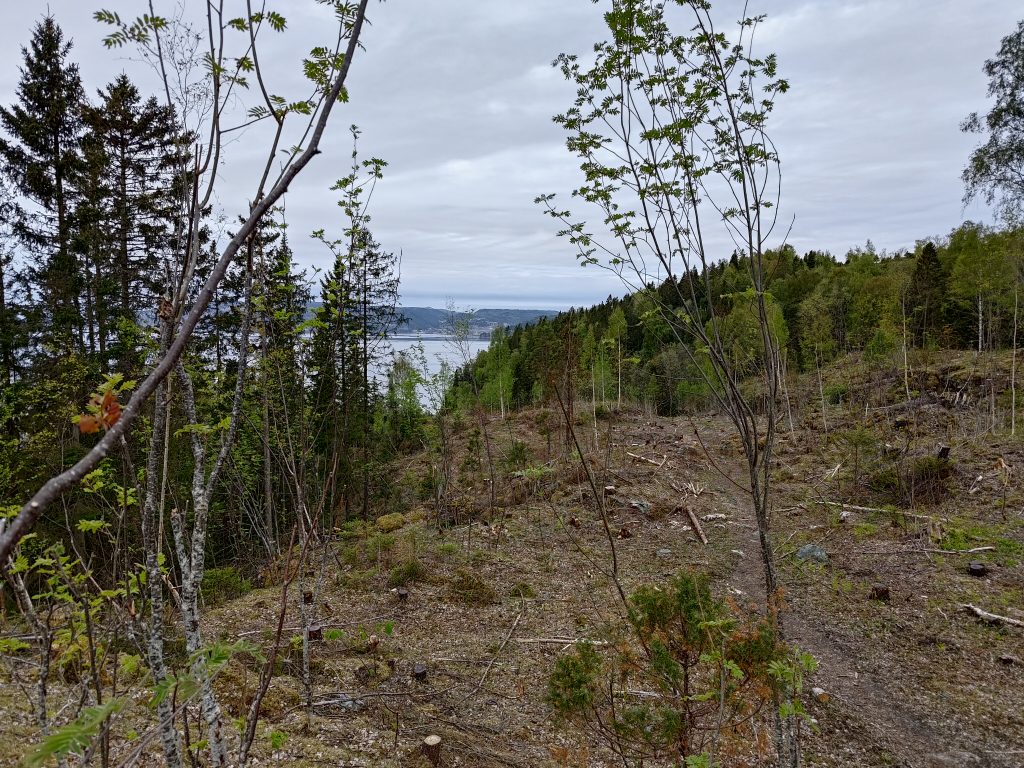
From this point on, I started noticing quite a few changes. Even in the picture above you can see how there are a lot of branches on the left hand side of the picture. There had been a very large tree that had toppled over in a bad storm during the winter and it had been cut up a bit to clear the pathway. Spruce trees have very shallow roots and are very susceptible to being blown over with their roots in the air. I continued on, crossing a small stream and came out into an area that was much more open than the last time that I had walked here, sometime last summer. All this land will be privately owned, so access to the trail has to be agreed on with the landowners.
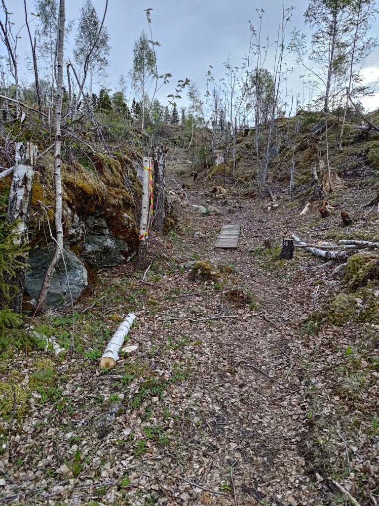
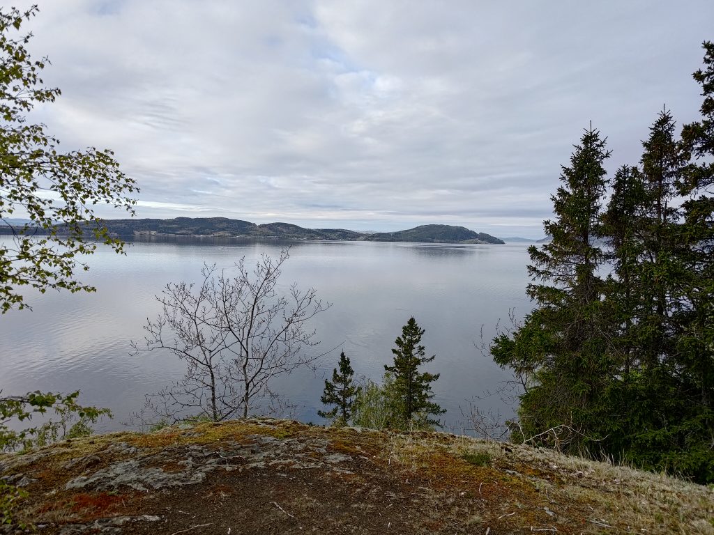
When we first went walking here 35 years ago, this was a densely forested area. It was logged after several years, so the forest that was growing here was probably only about 30 years old. Once again it has been logged, though it definitely gave some gorgeous views out over the water.


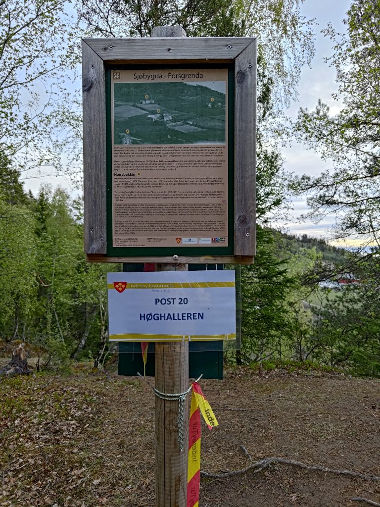
I reached my second post, no 20, at Høghalleren, about 20 minutes after the first post. I had spent a bit of time taking photos along the way. There is a picnic bench here to take a rest, and the mailbox on the back side of this post has a book in it to write one’s name. The view is very nice from here.

Even though I was walking on my own, I really enjoyed having a walk early in the morning. I used about one hour and twenty minutes for the whole walk, but I stopped quite a bit to take pictures. I took about 45 pictures on the walk and you have seen only some of them. I will be doing this walk several times over the next few months and I need to remember that I enjoy early morning walks. As predicted, it started to rain later in the day, so I was out in the best part of the day.
I plan to go on more of the Inderøy Walks in the coming weeks and hope to be able to share my experiences with my readers.
